the wandering chick
Thank you for visiting these photo pages.
If you're interested in seeing more, please return to the Main Menu at the bottom of my home page and make your selection.
All images within 'The Wandering Chick' Web site are copyright protected. They may not be downloaded or otherwise copied.
Please contact me if you think a particular photo or set of photos can be used in your publication.
...Death Valley
13 years later
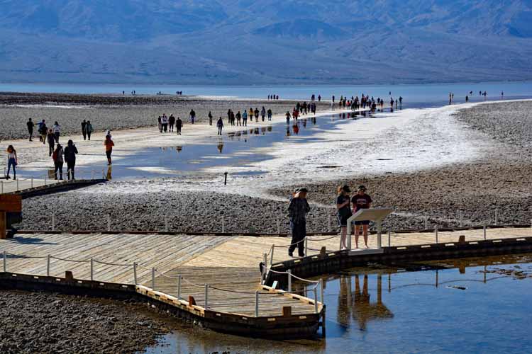
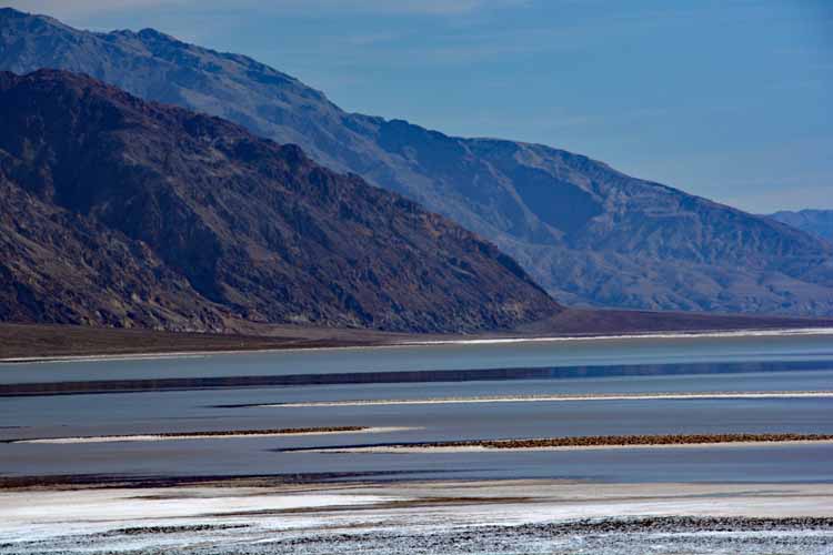
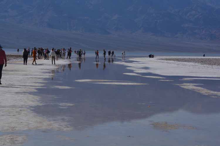
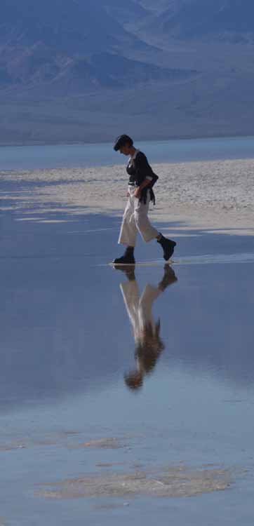
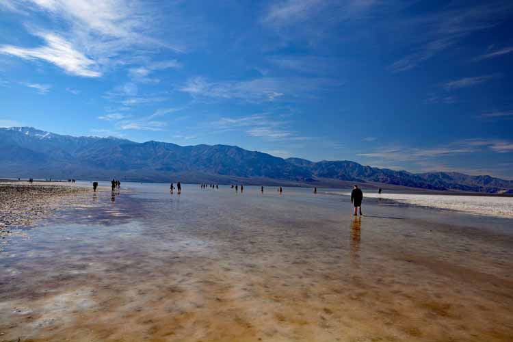
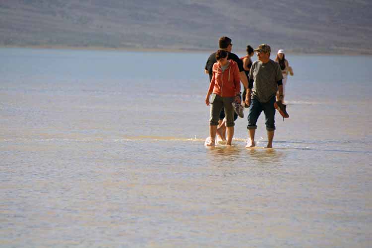
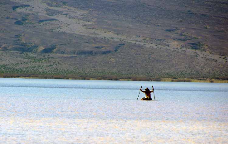
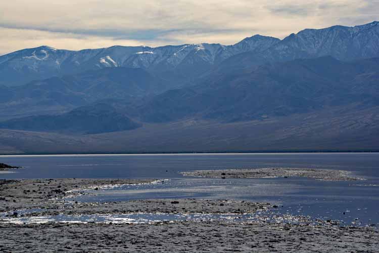
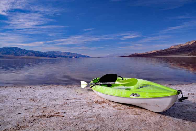
It took me 13 years to return to Death Valley. The big draw this year was Badwater Basin, normally a vast field of dried salt. But a rare phenomenon brought people in this year: Badwater Basin is a lake! Normally, any water accumulated in the basin is evaporated in the summer heat, leaving only the salt. But heavy rains and snow brought it in so much water, it turned the basin into a lake.
I returned to many other parts of the park also, enjoying it as much as I did the previous times.
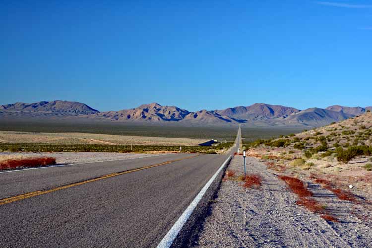
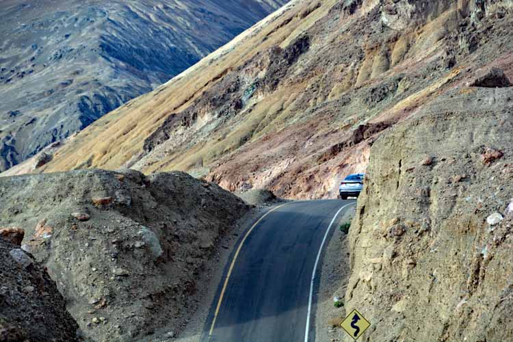
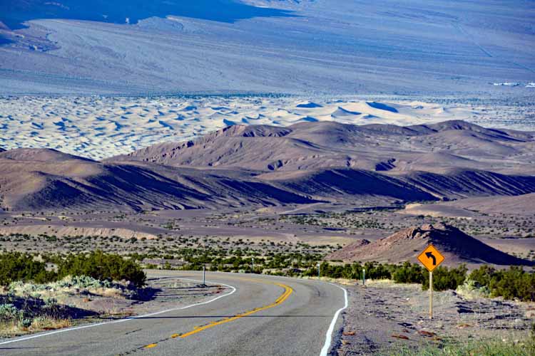
This is Daylight Pass Road, Highway 374. It's a narrow two-lane road between Beatty, Nevada and Death Valley. The entrance to Death Valley from Beatty is only 8 miles, but it's another 30 plus to Stovepipe Wells, one of two hubs in the park.
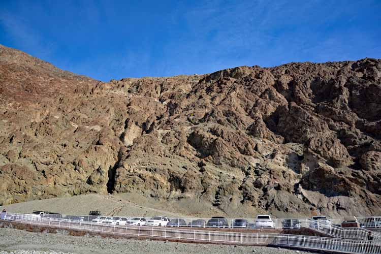
One can barely see the sea level sign up in the hills. Badwater Basin is a whoppin' 282 feet below sea level. To locate the sign, find the two dark cars to the right of the four white cars. Look straight up between the two dark ones, a little more than halfway up the mountain. In this photo, it almost appears as a white cross. That's sea level.
Upon entering the park, I headed straight to the Badwater Basin, excited about seeing this remarkable phenomenon.
Though rare, this is not the first time the basin has filled with water. It's hard to tell for how long the water will last before it dries up, but in previous occurences, it's lasted a number of months.
I saw lots of roadrunners throughout the park, especially around the Furnace Creek Resort and campgrounds.
Gas prices throughout the park were about the same; and more than a dollar per gallon higher than outside the park.
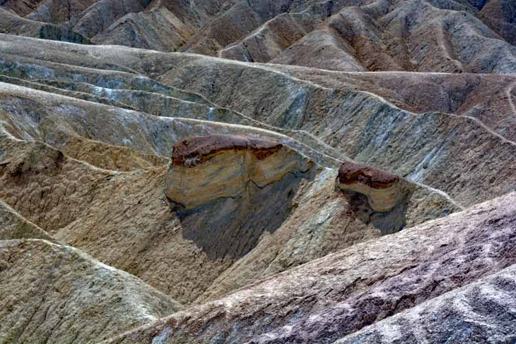
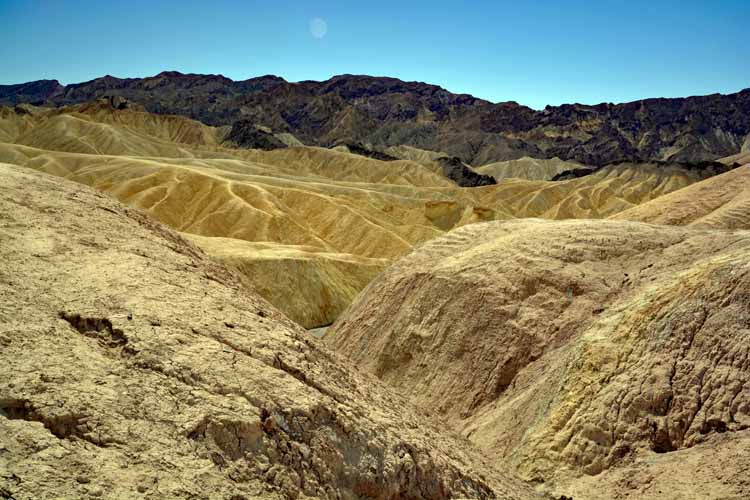
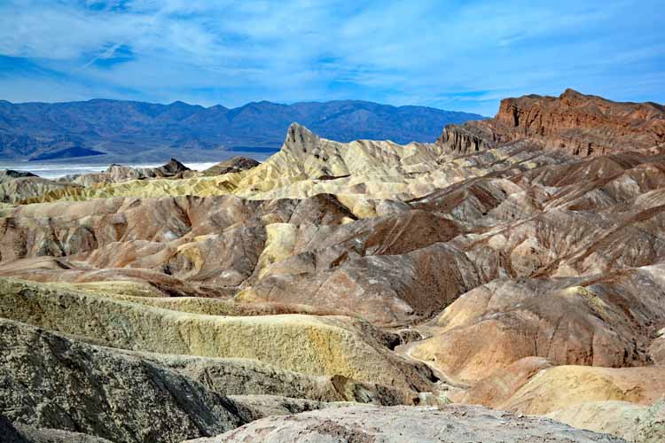
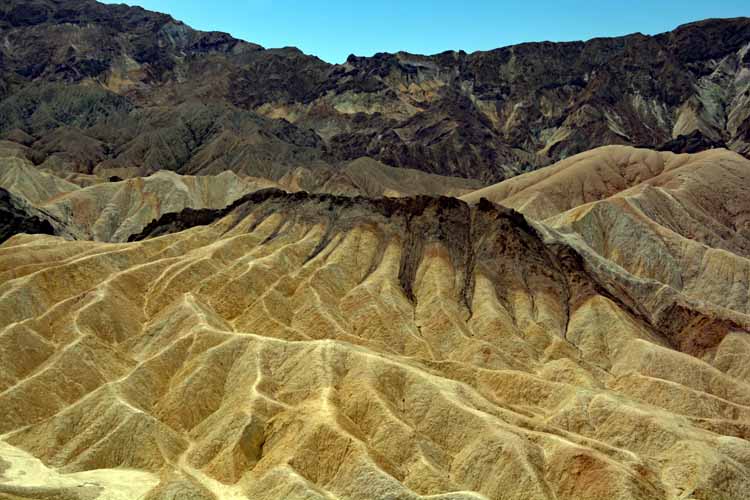
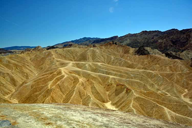
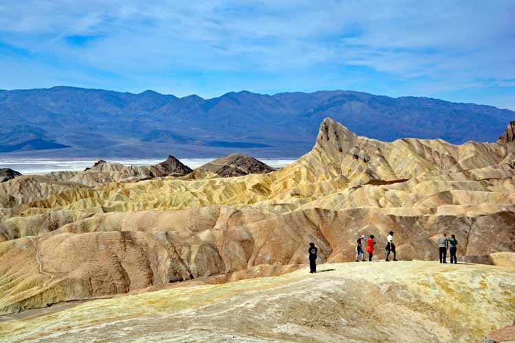
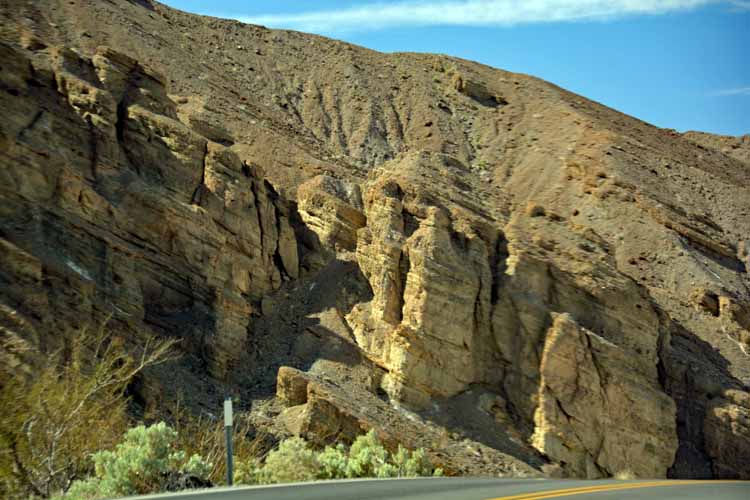
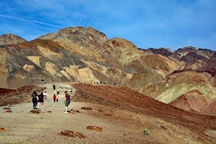
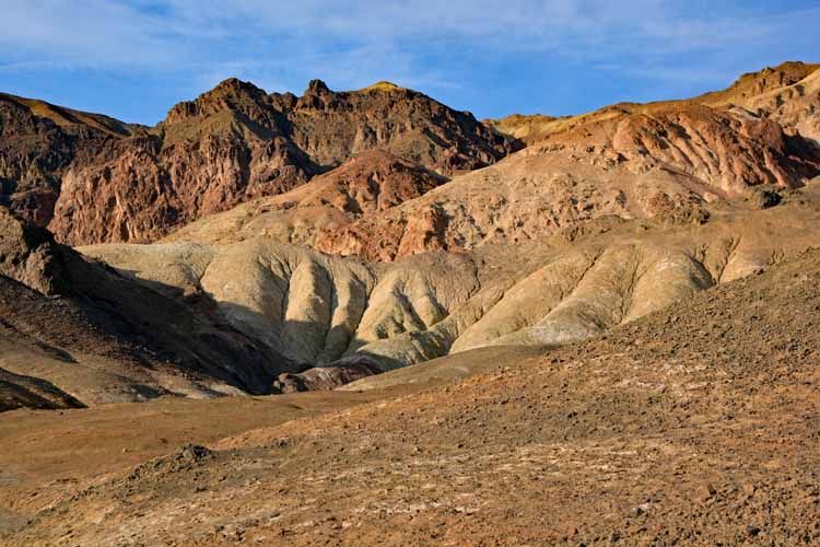
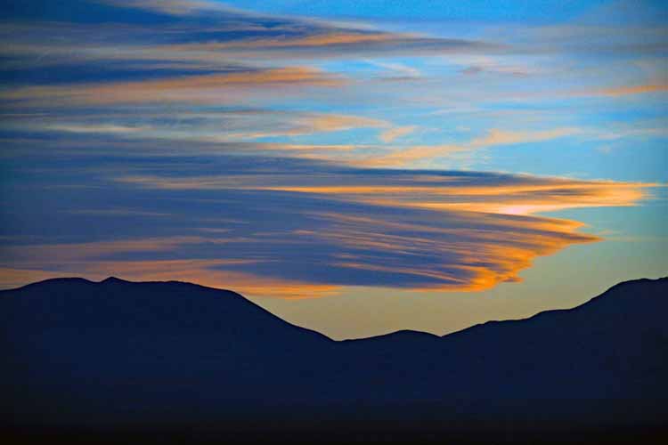
Zabriskie Point is on the park's must-see list even if visiting for a couple of hours. It truly is a remarkable display of beautifully-hued rock formations, much like South Dakota's Badlands. It's considered THE place for sunrises and sunsets.
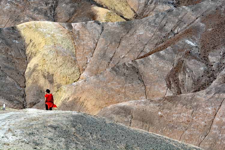
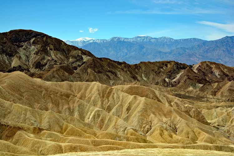
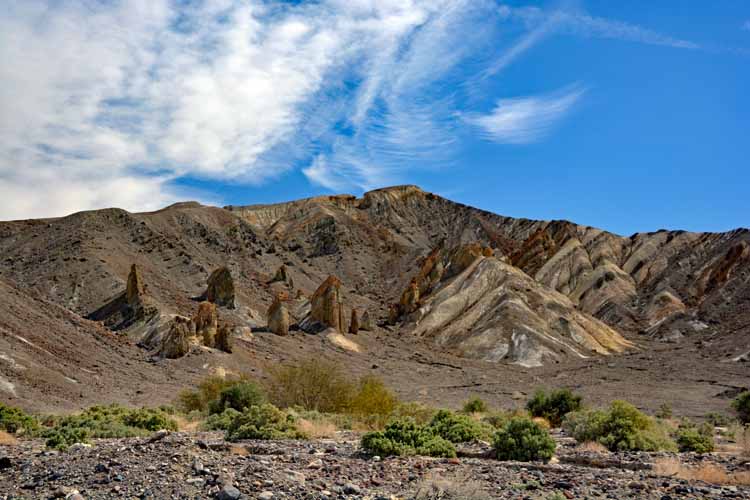
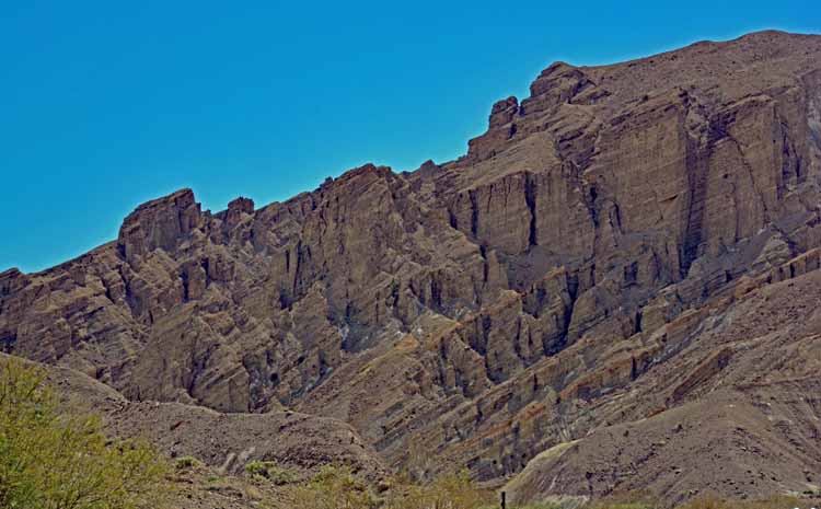
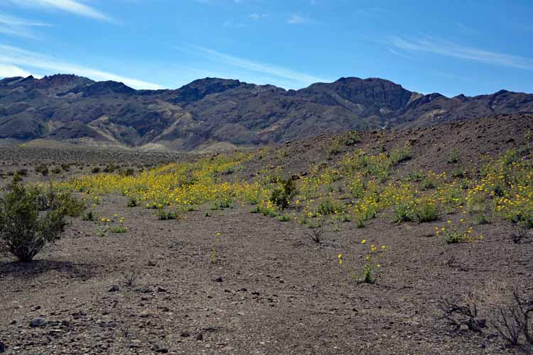
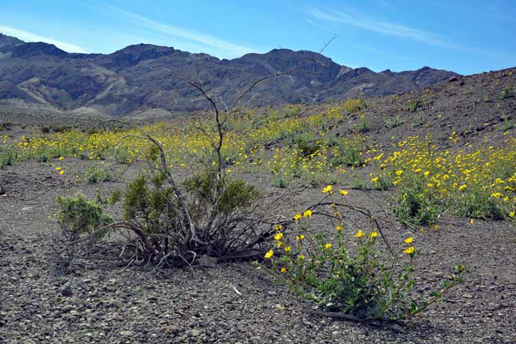
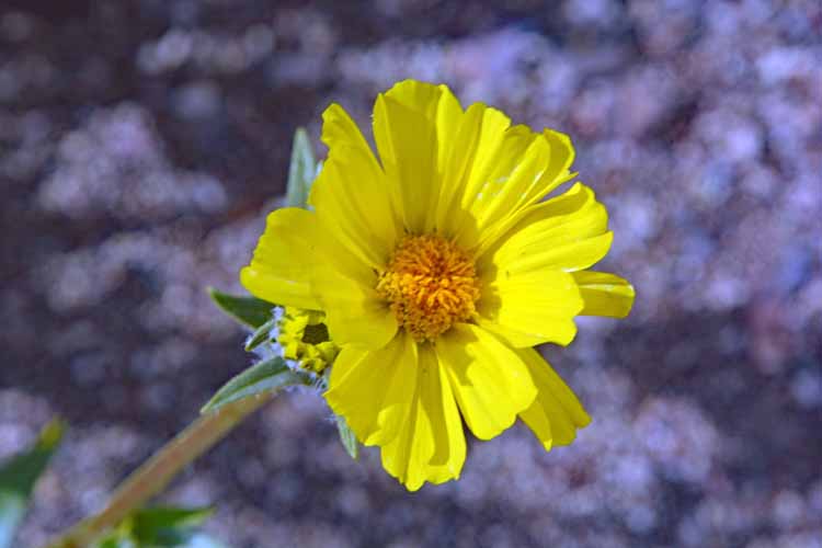
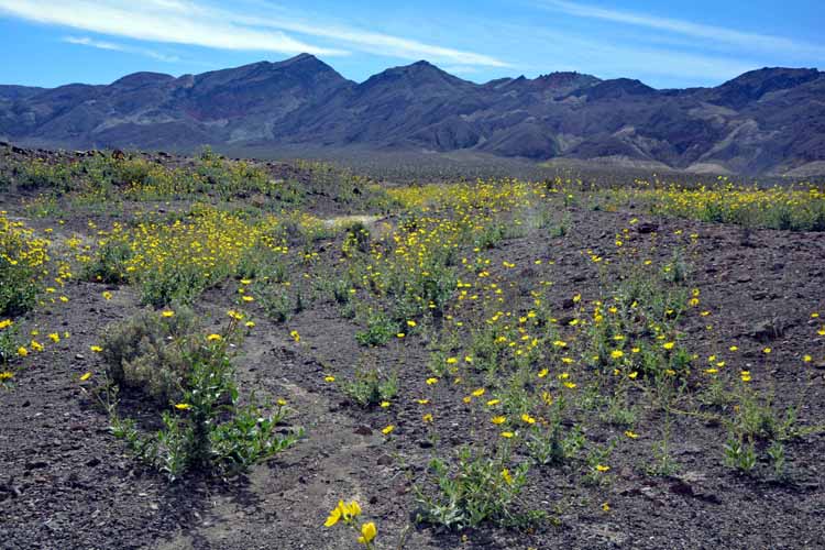
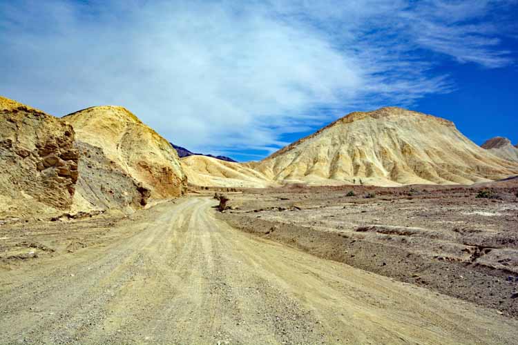
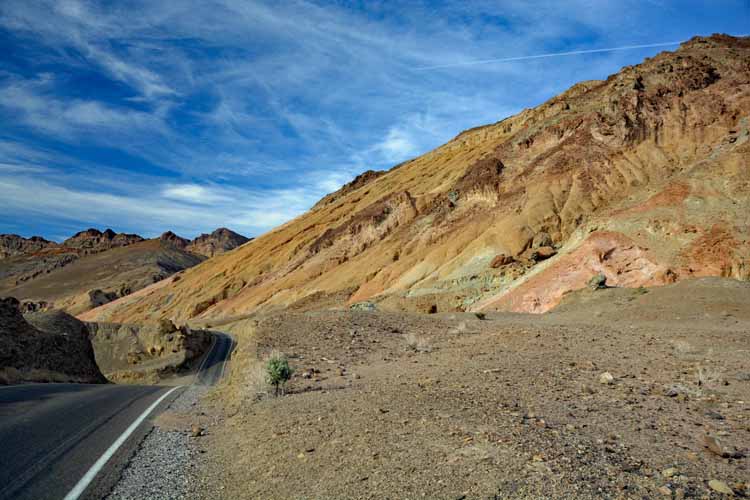
Continuing southeast on the 190E from Zabriskie Point offers a spectacular view of awesome rock formations. Found some pretty yellow early bloomers there, too!
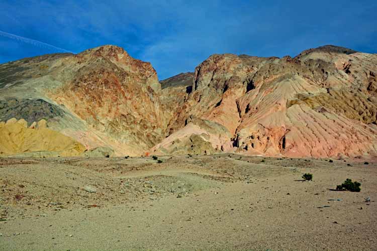
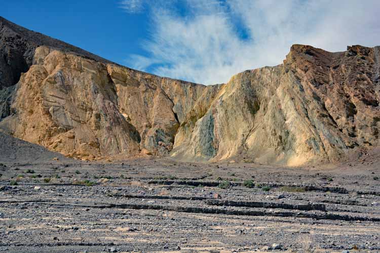
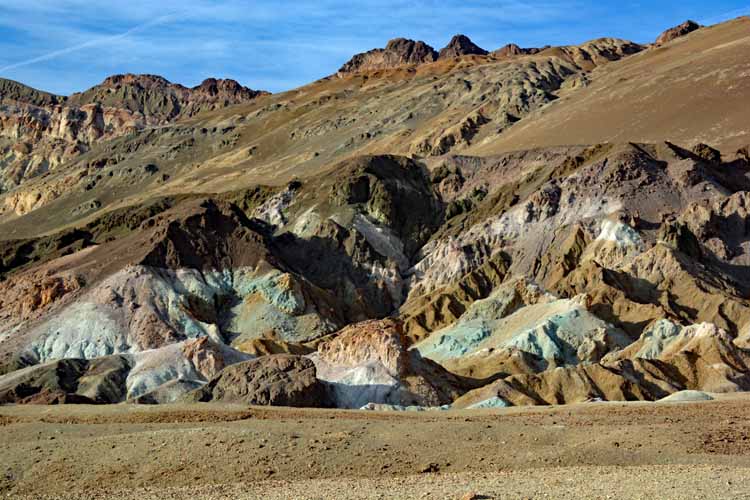
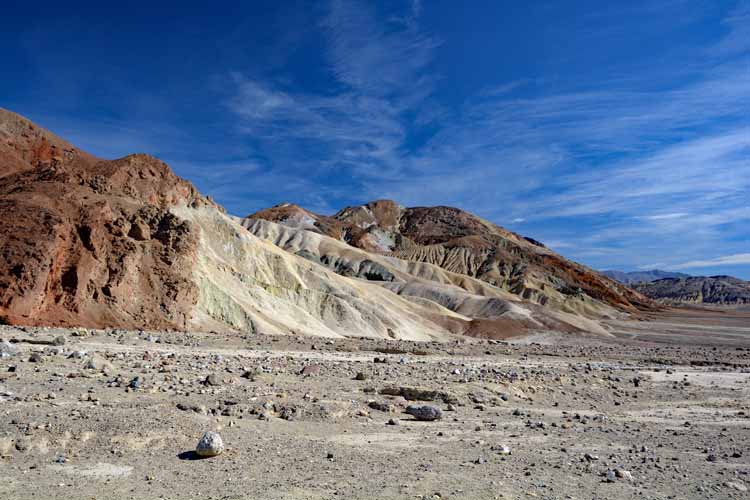
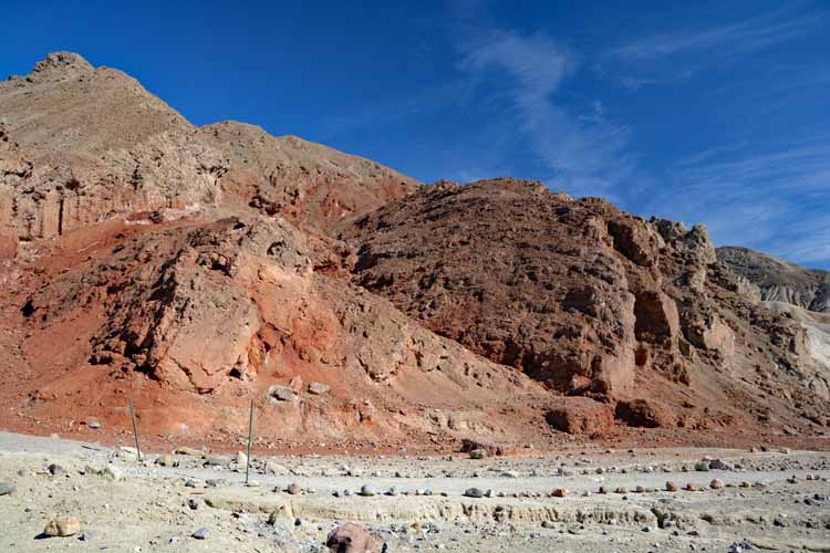
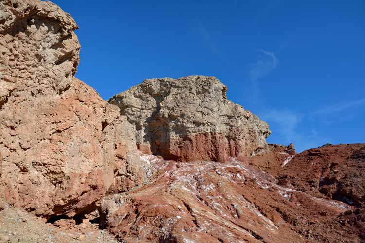
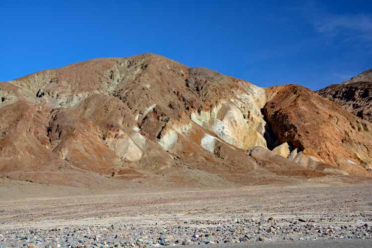
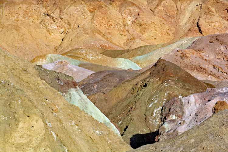
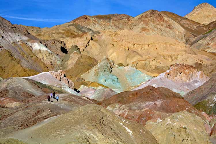
Another must-see on the park's list is the Artist's Drive. It's a paved one-way 9-mile scenic drive with areas to pull over and roam the hills. Not too far in is a particularly colorful section of rocks called the Artist's Palette, seen in a couple of photos below.
The Artist's Palette
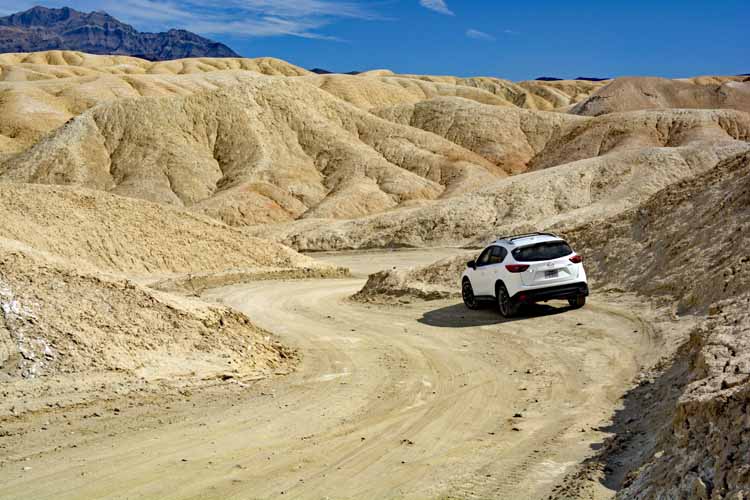
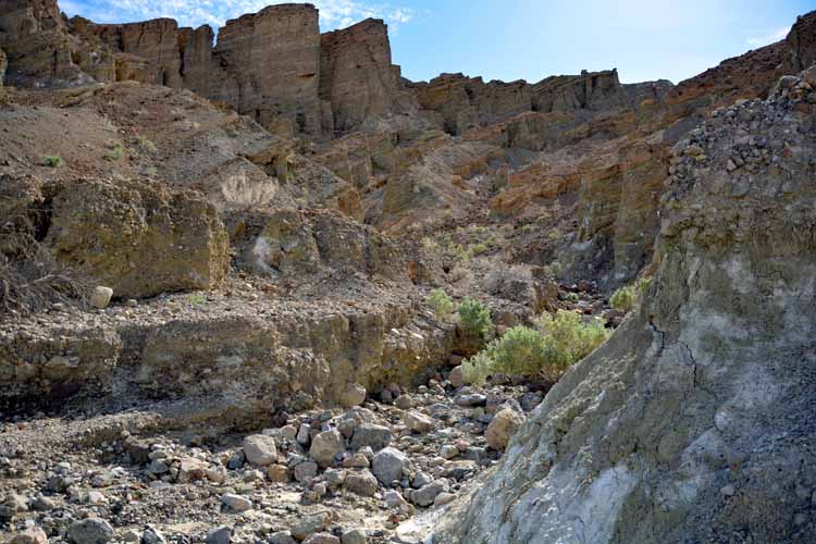
Also off of the 190E, south of Zabriskie Point, is the 20-Mule Team Canyon drive, a short packed-dirt road safely passable in any vehicle. Not as dramatic as other rock formations, but the drive itself is fun, rounding sharp narrow curves.
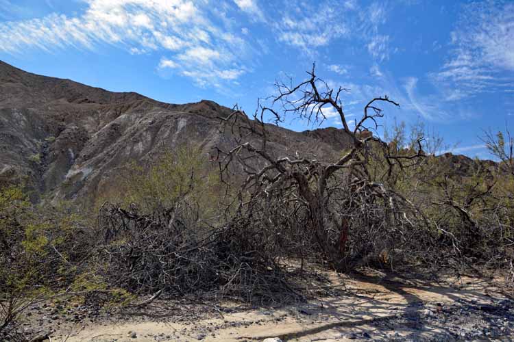
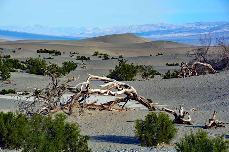
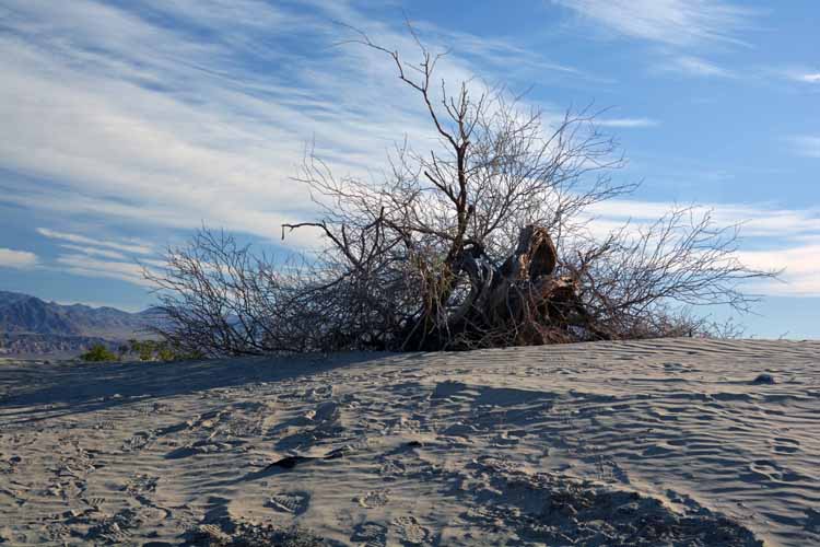
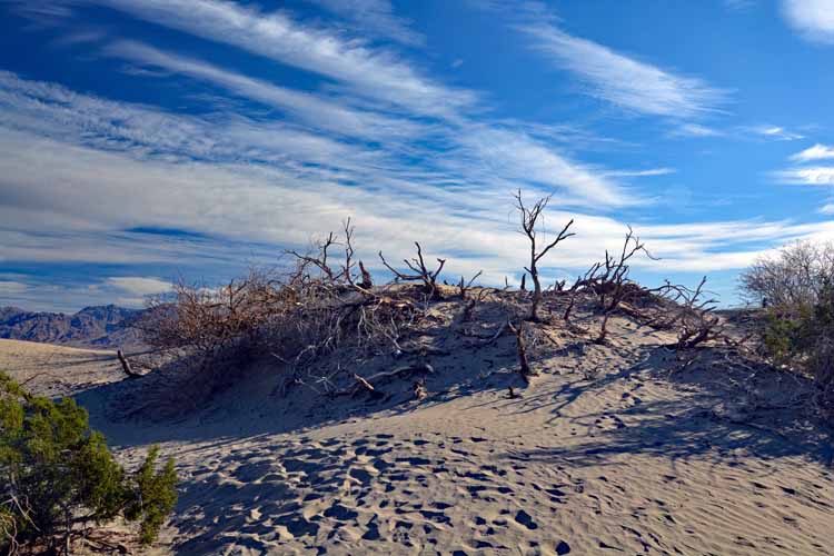
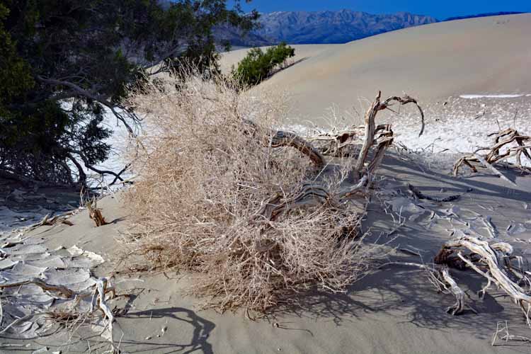
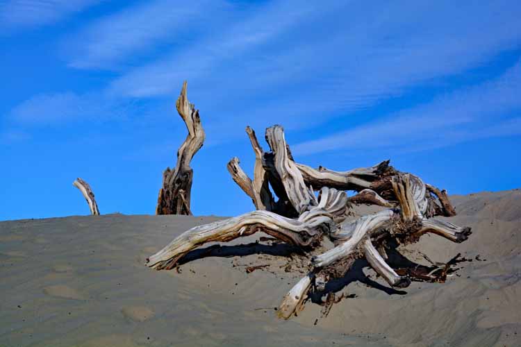
I don't think I'm alone in finding that trees long past their living days have an eerie and haunting look that captures the eye.
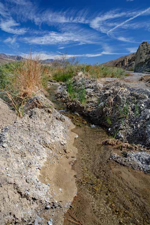
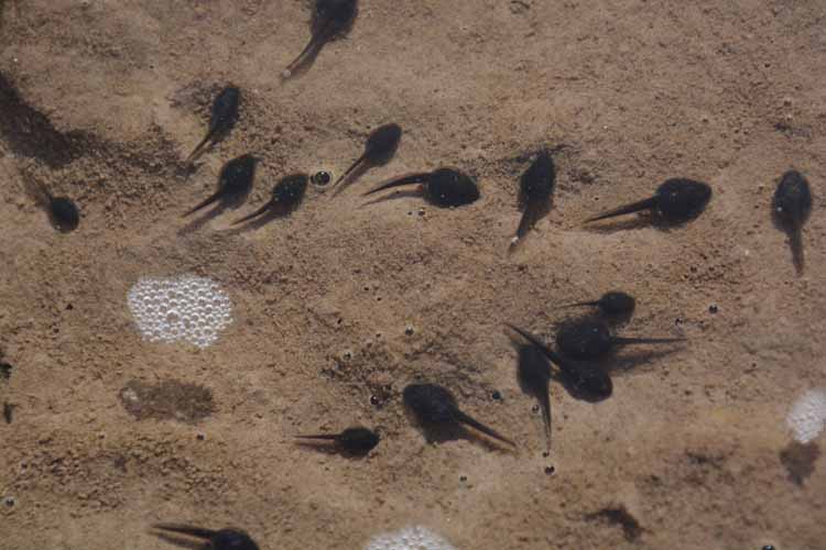
Imagine my surprise when walking the desert floor against these magnificent rock formations I come to tadpoles in (an obviously man-made) stream. But there are amphibians such as toads, salamanders and frogs that survive a desert environment.
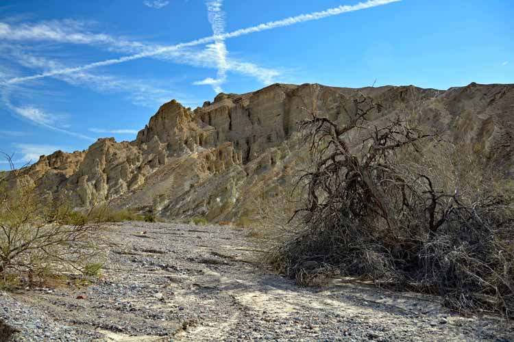
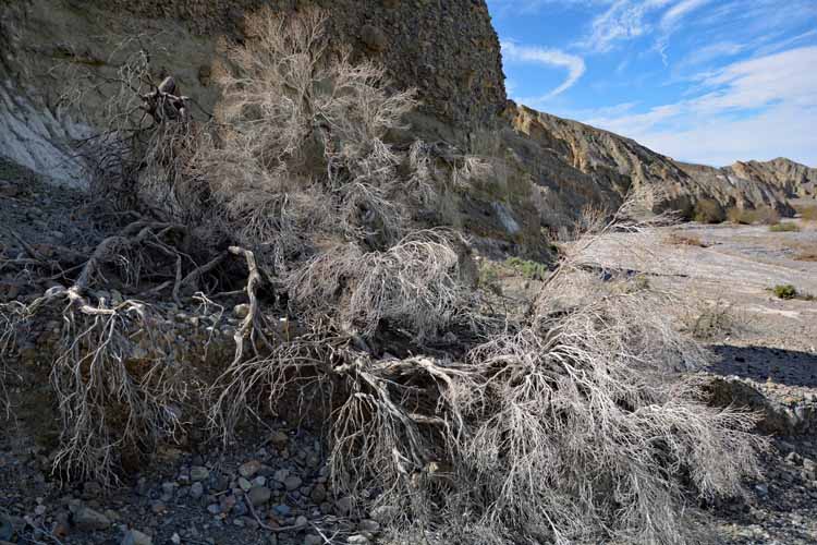
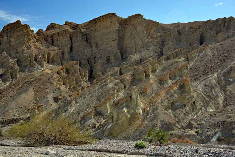
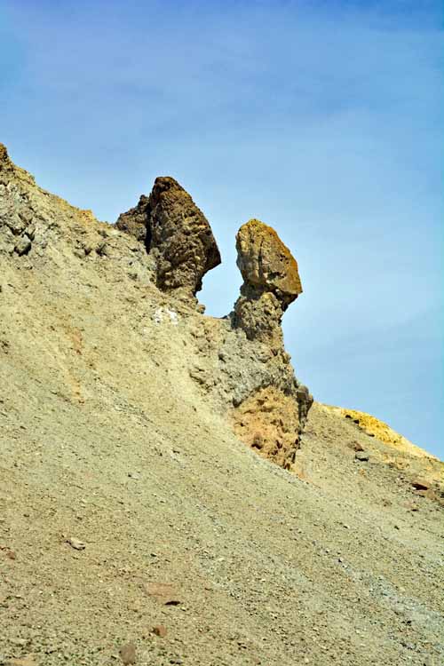
The outside of Golden Canyon, pictured in these four photos, is a clear indication of what is inside the canyon. I didn't go in on this trip.
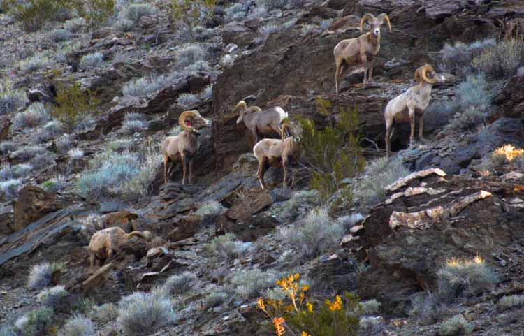
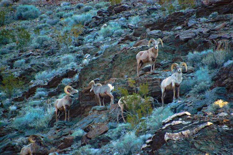
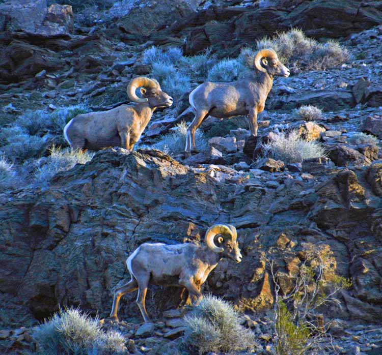
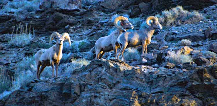
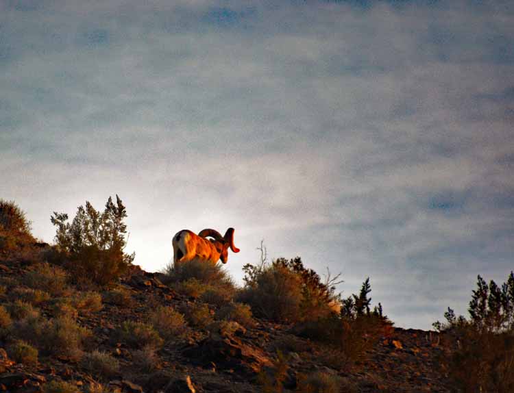
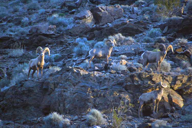
Bighorn sheep roam the hillsides both inside and outside the park. This small herd was found on Daylight Pass Road between the park and Beatty, Nevada.
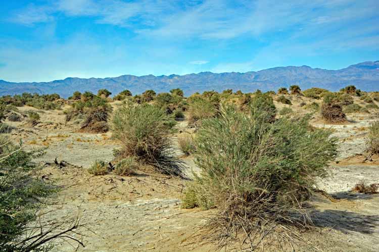
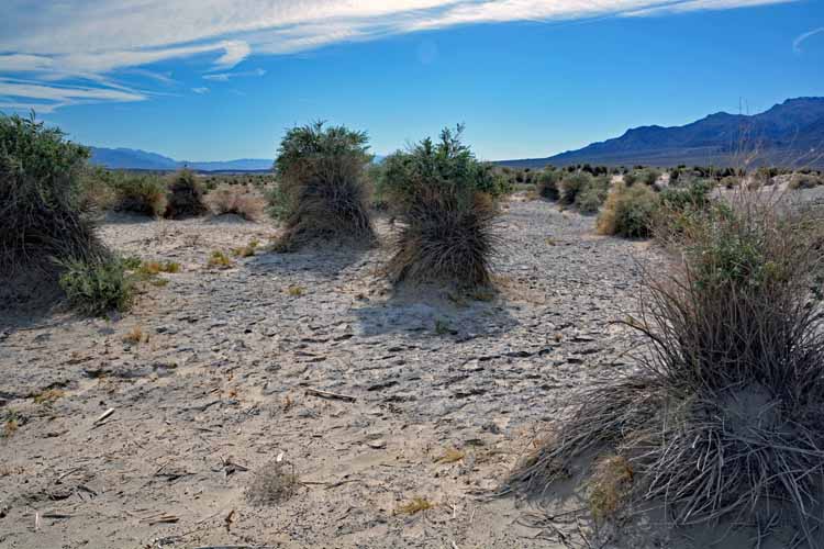
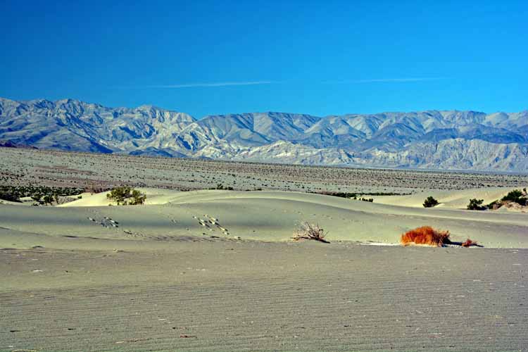
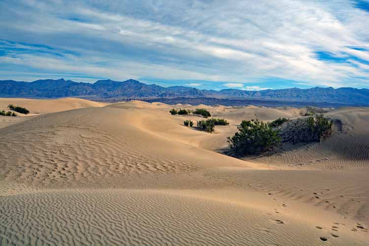
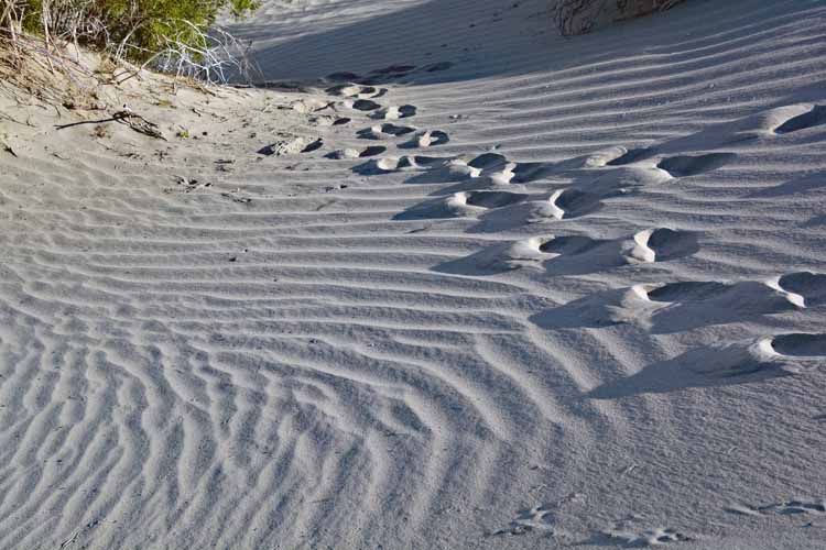
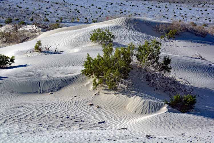
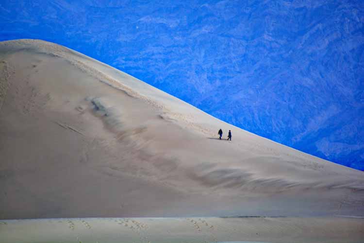
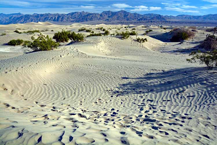
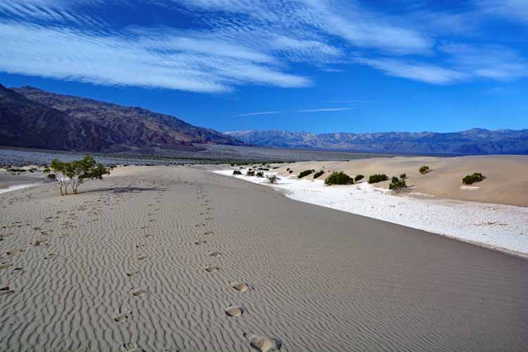
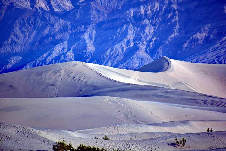
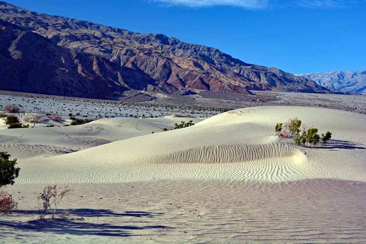
The Mesquite Flat Sand Dunes are not the tallest sand dunes in Death Valley, but they are the most accessible. Because of constant shifting sand, there are no paths to mark one's way, but the dark mountains behind the parking lot act as a navigation landmark. The tallest dunes in this area rise only 100 feet.
While visiting Death Valley, I stayed in Beatty, Nevada. Just outside of Beatty is the ghost town of
Rhyolite, a former mining town. If you're interested, take a look-see.