the wandering chick
...Death Valley
from Shoshone to Amargosa
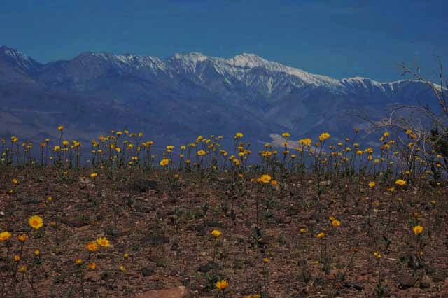
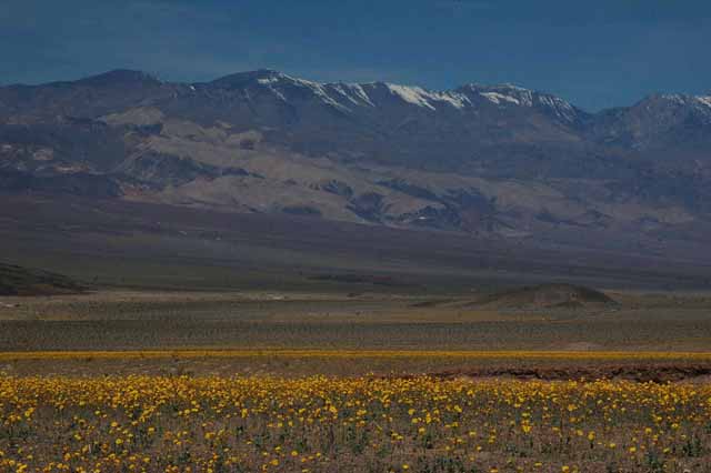
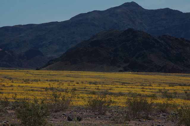
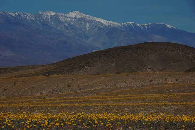
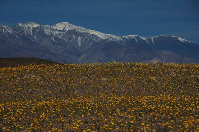
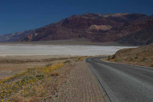
Desert Gold blankets the fields in Death Valley along Badwater Road from the Shoshone entrance. Telescope Mountain towers above.
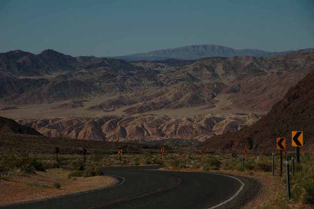
The landscape in Death Valley from the Shoshone entrance, heading north on Badwater Road.
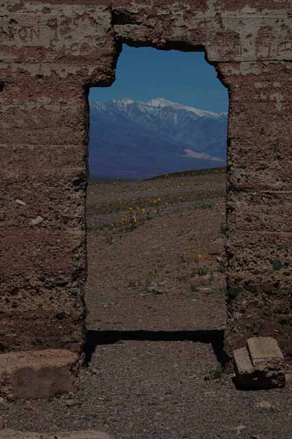
At Ashford Mill, where gold ore was processed in the early 1900s, owned by Harold Ashford.
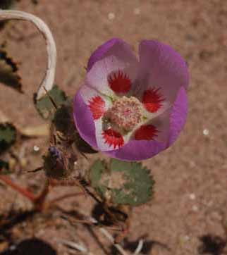
The Desert Five Spot is considered a rarity at Death Valley. We 'spotted' them at Ashford Mill.
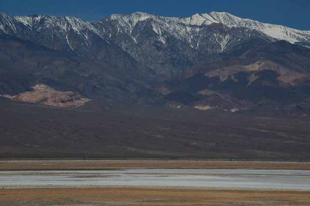
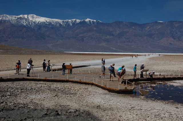
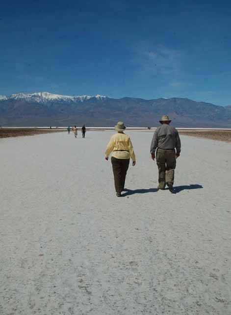
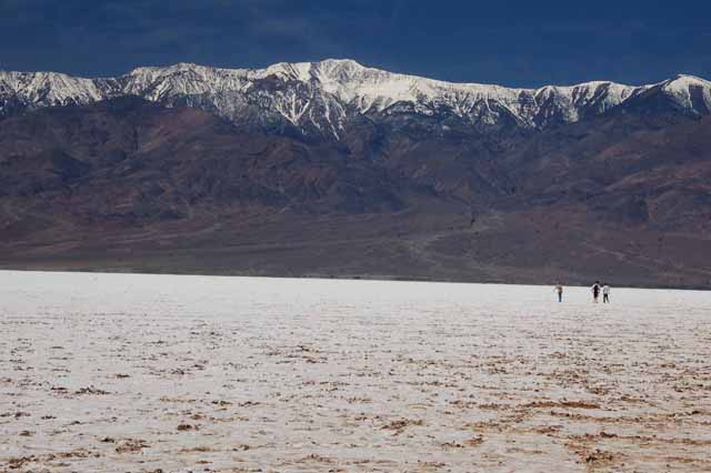
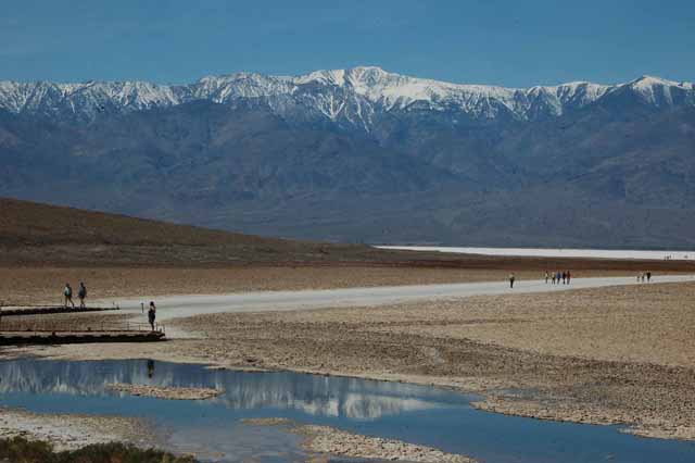
Badwater Basin is in the lower (south) part of Death Valley. The name Badwater was given by Indians who drank the water and considered it bad-tasting. The salt flats are formed as water collects in the large basin. Because it has no outlet, the extreme heat of the desert causes it to evaporate, leaving only the salt.
Another feature of this particular area of Death Valley is that it is the lowest point in the Northern Hemisphere at 282 feet below sea level.
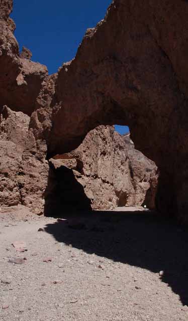
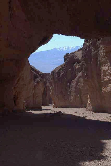
Natural Bridge was formed by many years of water eroding away the rock. A short walk takes you into the canyon where you can see the bridge. The photo on the left was taken from the opposite angle, showing where you walk in.
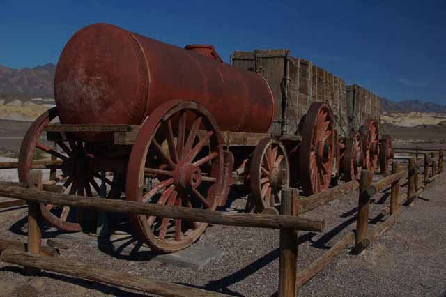
These wagons were pulled by a 20-mule team at the Harmony Borax mine in Death Valley. They were used to haul the borax out of the valley. Borax mining existed in various areas of Death Valley in the late 1800s.
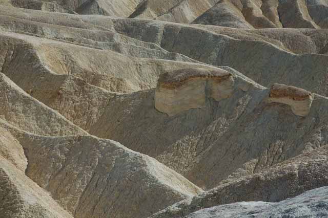
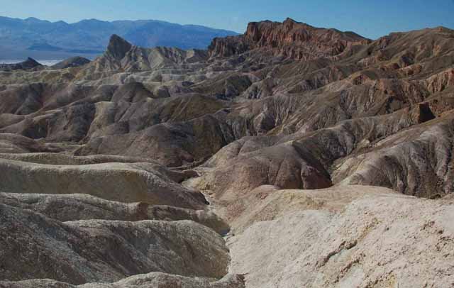
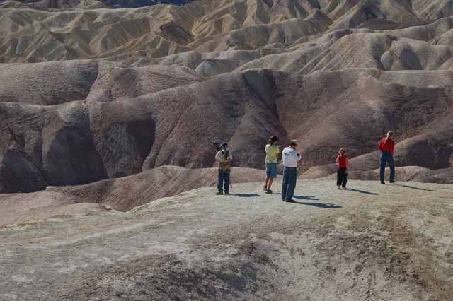
Zabriskie Point is made up of sediment from a lake that dried up five million years ago. The photo above, to the left and the next few below were taken there.
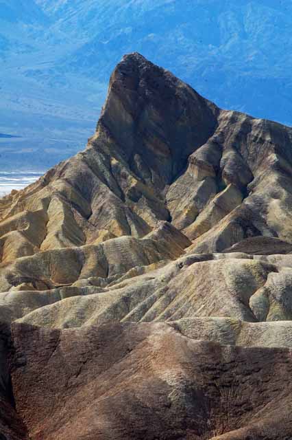
This peak at Zabriskie Point is called Manley Beacon.
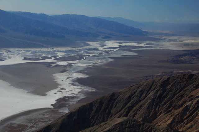
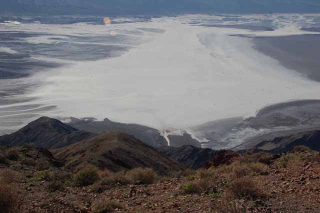
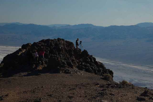
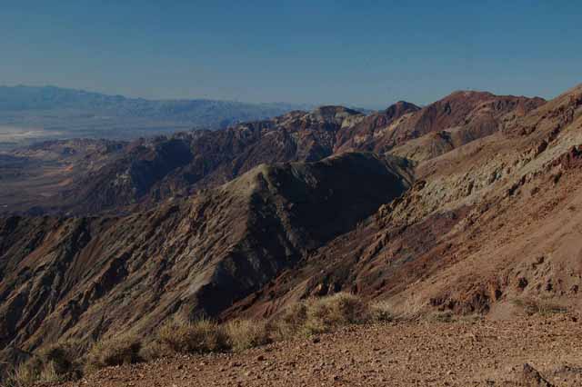
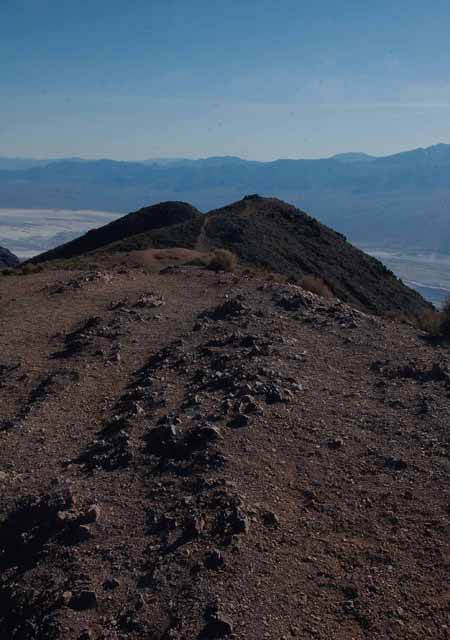
High above the Badwater Basin is Dante's View which offers a tremendous panoramic view of the park and especially the salt flats and river that brings the water in. The remaining shots were taken at Dante's View.
Thank you for visiting these photo pages.
If you're interested in seeing more, please return to the Main Menu at the bottom of my home page and make your selection.
All images within 'The Wandering Chick' Web site are copyright protected. They may not be downloaded or otherwise copied.
Please contact me if you think a particular photo or set of photos can be used in your publication.
A year later, I will have taken another trip into Death Valley. You can see those picture on
Page 2. They cover the areas of the Mesquite Flat Sand Dunes near Stovepipe Wells and Artists Drive just south of Furnace Creek, among other smaller destinations within the park.