


If you're interested, please check out more Utah locations.
Thank you for visiting these photo pages.
If you're interested in seeing more, please return to my Main Menu at the bottom of my home page and make your selection.
All images within thewanderingchick.com Web site are copyright protected. They may not be downloaded or otherwise copied.
Please contact me if you think a particular photo or set of photos can be used in your publication.


For years I never understood exactly what the term "grand staircase -escalante" meant. I only knew it was another of Utah's magnificent land masses known for its remoteness and beauty. Now it all makes sense, especially after seeing the photos of the "staircase."
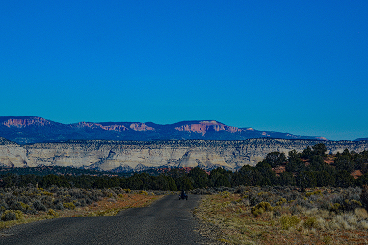
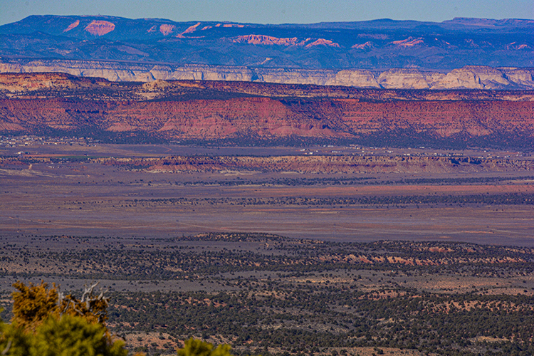
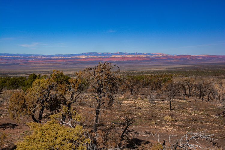
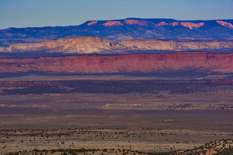
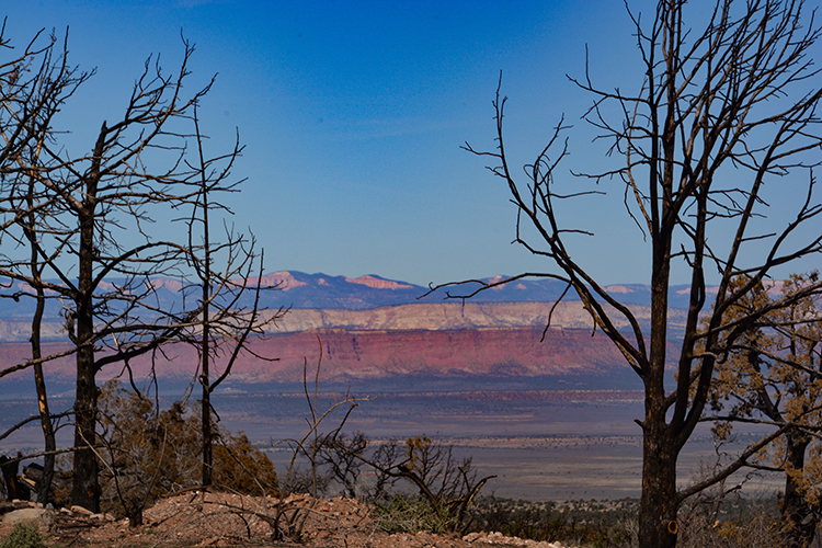
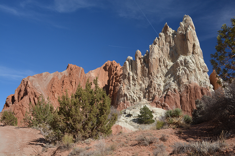
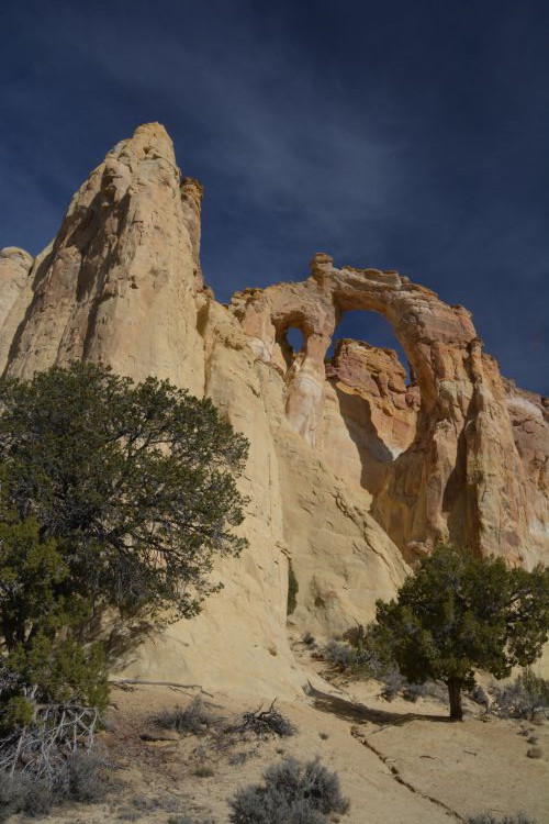
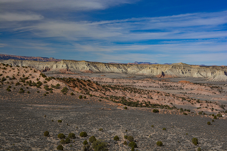
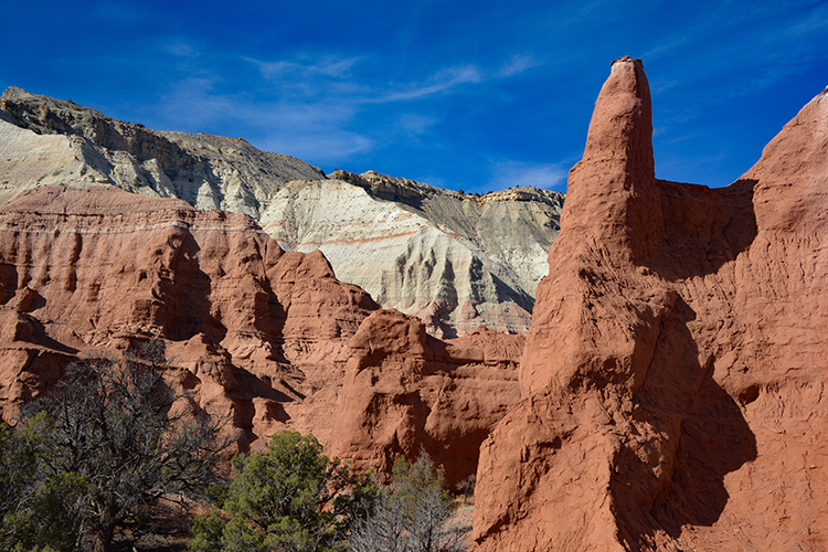
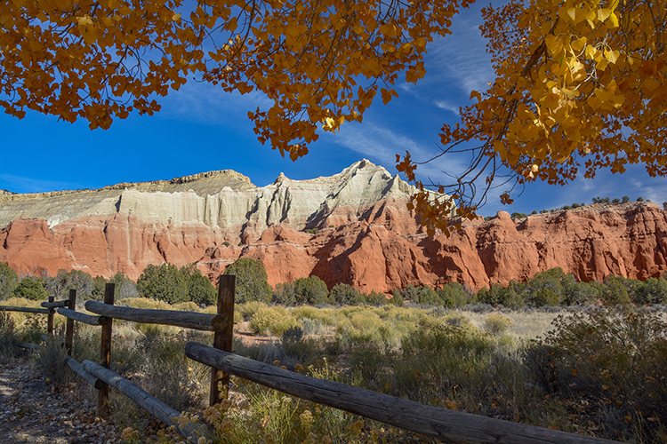
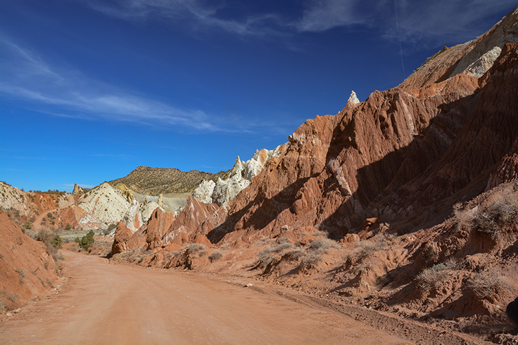
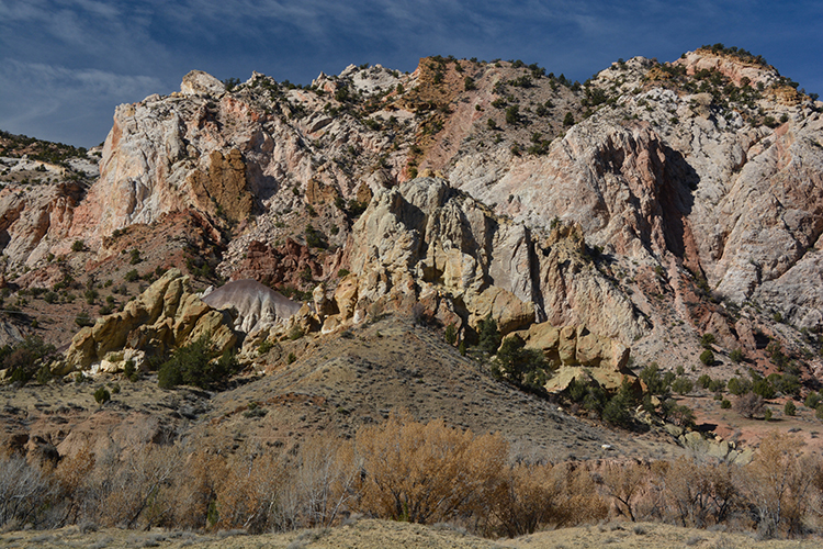
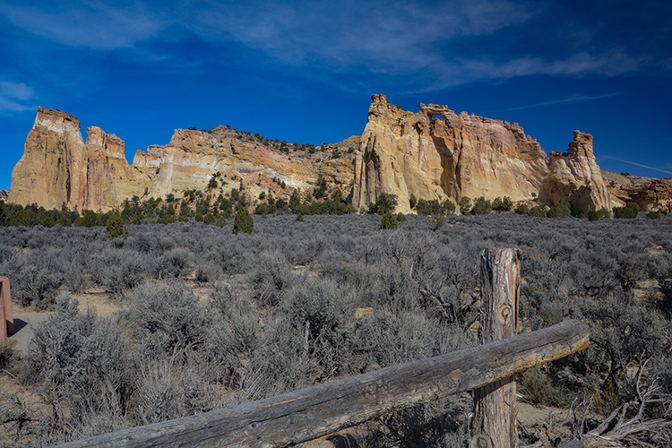
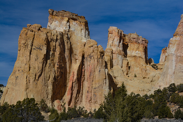
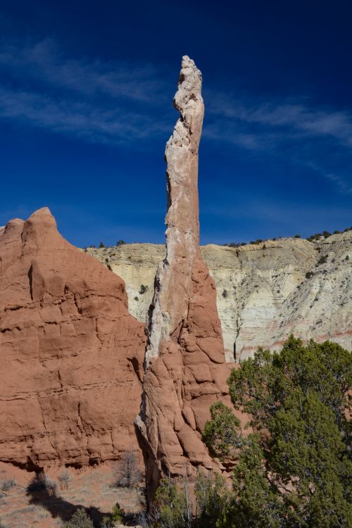
Grand Staircase refers to five layers of sedimentary rock in the form of plateaus and buttes that descend from Bryce Canyon in Utah to the Grand Canyon in Arizona. When viewed from a distance, the layers are distinct. They're also named, based on their color: The Chocolate Cliffs, the Vermilion Cliffs, the White Cliffs, the Gray Cliffs and the Pink Cliffs.
Due to their vastness, not all layers, or colors, can be seen in one area. But as one travels the distance between Bryce and the Grand Canyon, the rock colors become apparent.
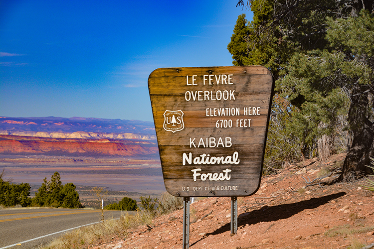
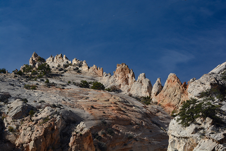
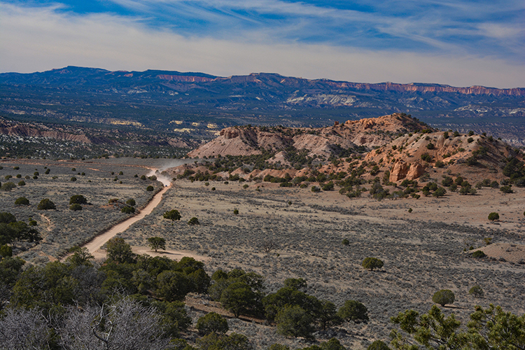
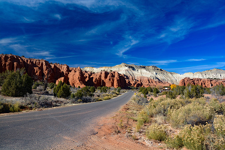
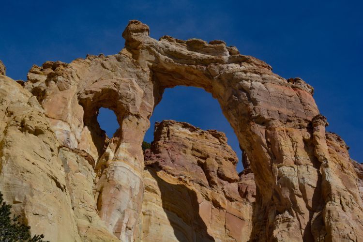
The GSNM-E may be 1.9 million acres of wilderness, but scenic drives and hiking abilities abound. One such drive is the Cottonwood Canyon Road that travels 46 miles north-south between Bryce Canyon and Utah's Highway 89. That's where the photos on this page were taken, though we started at the south end, on Highway 89. The road is only a small portion of the Grand Staircase. To get a real flavor of the GS-E, please click on the link at the bottom of this page. It covers much more of this breath-taking land.
Escalante refers to the river that runs through the area, a tributary of the Colorado River that empties into nearby Lake Powell.
Please note these words of caution: If it's raining, or if there is any chance of rain, do not attempt to drive this route. The steepness and curves mixed with muddy conditions are extremely dangerous. Start out with a full tank of gas, and high-clearance vehicles are advised.