...Charleston, South Carolina
Old Town, plantations, beaches and wildlife refuges
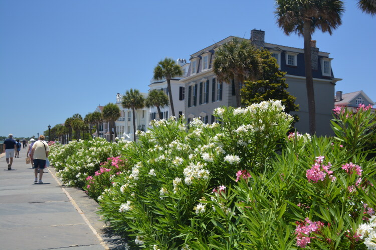
If one can't find something to do in Charleston and its surrounding areas, one has a problem. Old Town, which includes the City Market, the Battery and the Waterfront Park, is the heart of the city. Stroll along the colorful Oleander trees down East Bay Street to White Point Gardens, check out Rainbow Row along the way and then head back up the Battery to the Pineapple Fountain at Waterfront Park. It's a grand walk, passing stately well-kept homes in antebellum architectural style dating from the 1820s.
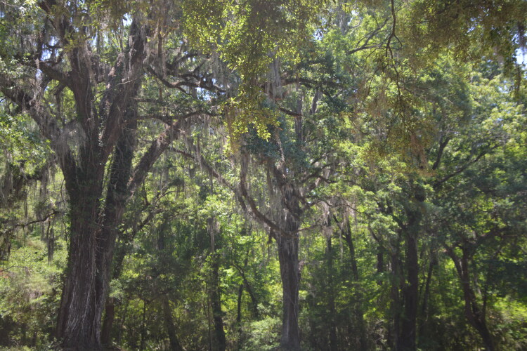
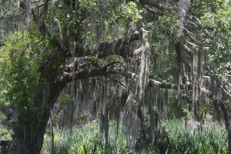
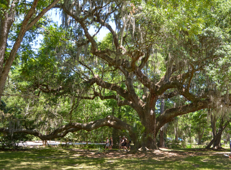
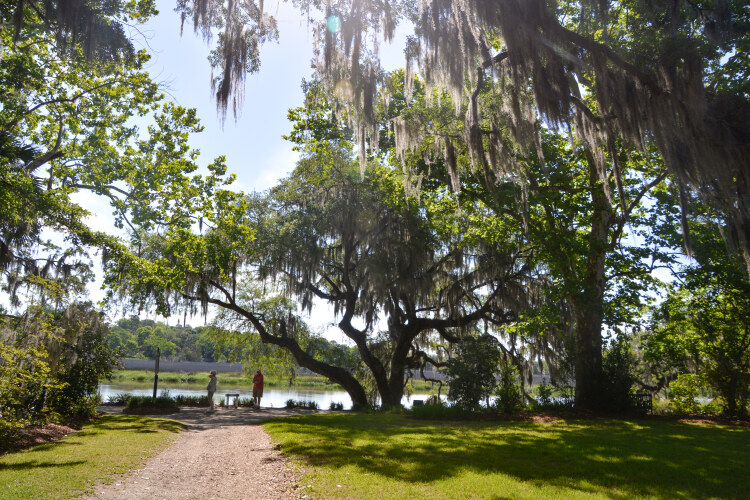
The plantations and their old live oak trees teeming with hanging moss keep the camera clicking. And then there's the beaches: those with loads of people with chairs and umbrellas; and those that are more quiet and remote. Wildlife refuges are abundant as are various boat cruises from the harbor and other landings
So pick your style and go. The following pictures were taken over a six day period.
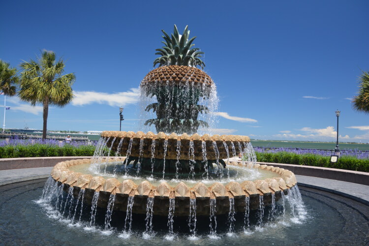
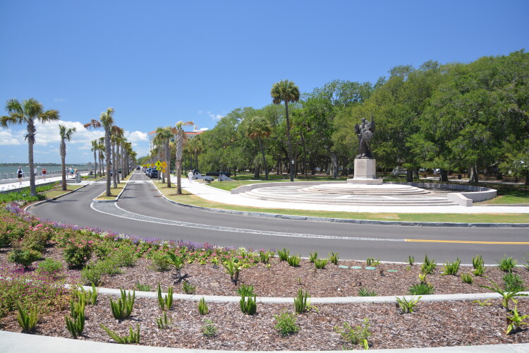
The popular Pineapple Fountain is located at Waterfront Park in Old Town Charleston. It is a symbol of Charleston's hospitality. The next few shots were taken along the Battery between White Gardens Point and the Pineapple Fountain.
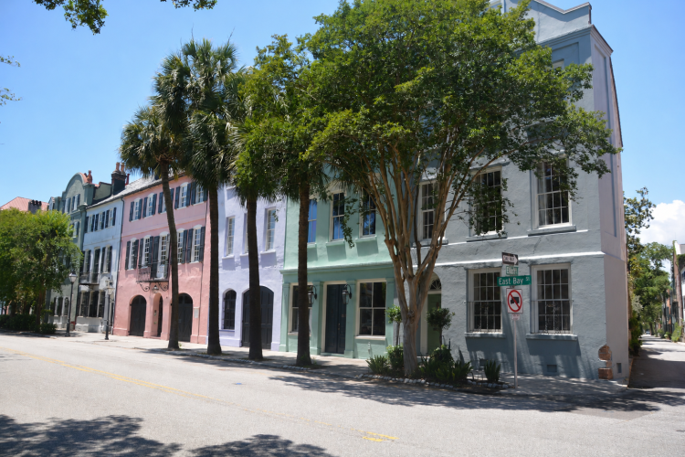
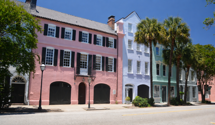
Rainbow Row is known for a line of homes on East Bay Street painted in calming pastel colors. Today they are private residences.
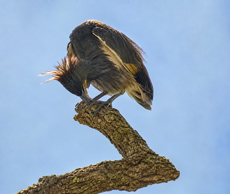
I do not normally alter my photos, but when I saw these huge birds in the trees at The Battery, I analyzed them to be Anhingas. But I couldn't get a clear view since they were so deeply nestled in the trees. So, I asked ChatGPT to take away the branches and leaves. This is the result. Chat did not alter the coloring of the birds.
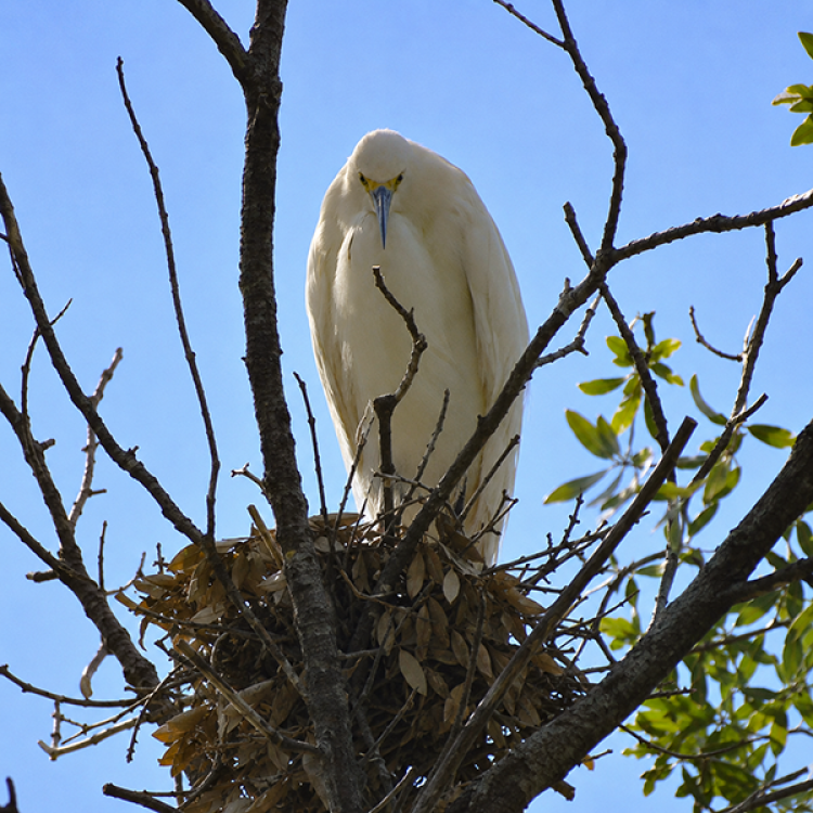
I'm pretty sure the dark colored birds are Anhingas, but not so sure about the white one. It's common for coastal birds to co-exist in habitats, so the white bird may be a heron.
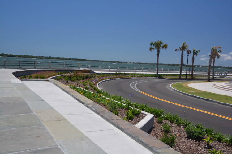
The Battery is a line of concrete seawall built to protect the city from storms and, during the Revolutionary War, to protect the city from enemies. Over the years it has fallen to hurriances more than once and then rebuilt. Imagine it with cannons lined along the top during the Civil War, hence the name the Battery..
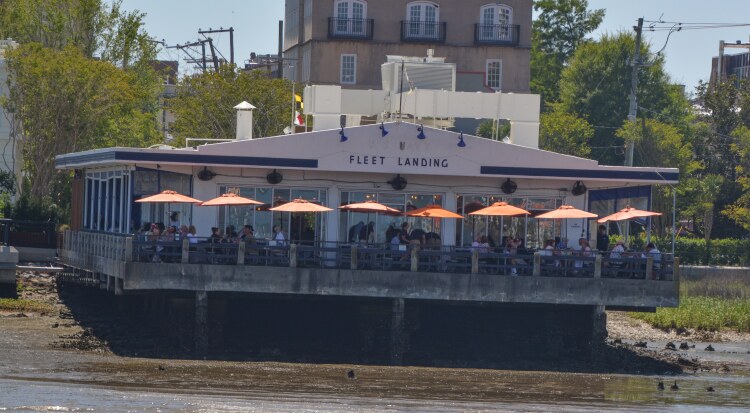
Fleet Landing Restaurant and Raw Bar, on the Charleston harbor
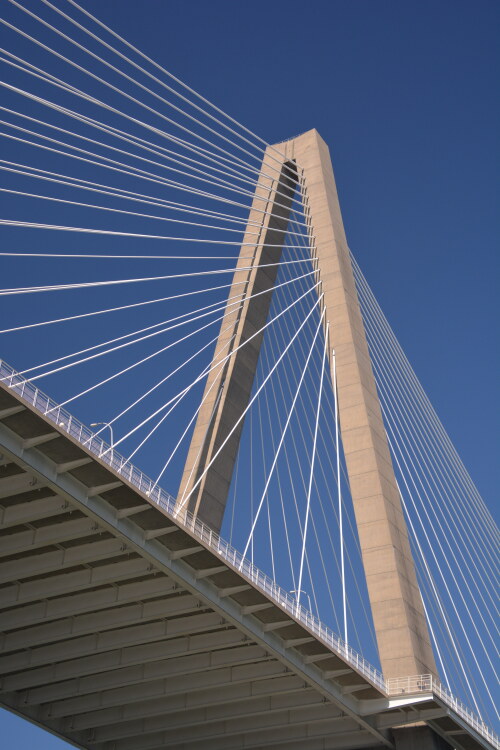
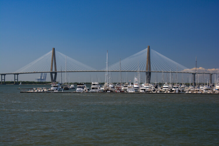
The Arthur Ravenel Bridge, Charleston harbor
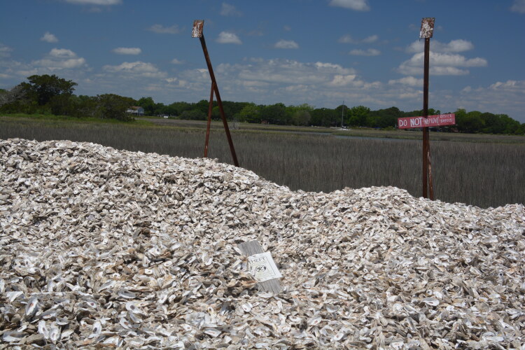
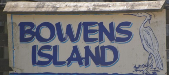
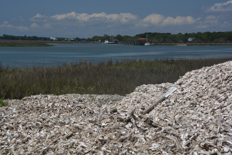
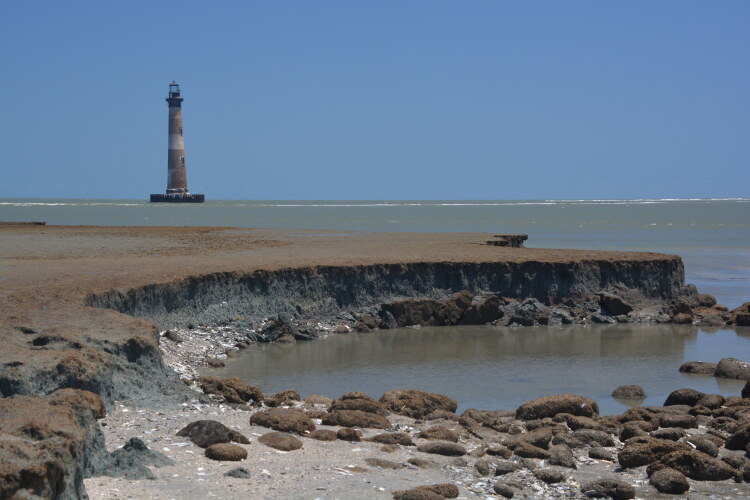
Bowens Island is a launching point for various cruises and kayak rental. It's located on the south edge of James Island, between James and Folly islands. It's also an important oyster harvesting area, situated by an estuary lined with oyster beds. A boat cruise to Morris Island and its lighthouse leaves from here. And, evidently, the Bowens Island Restaurant is well known.
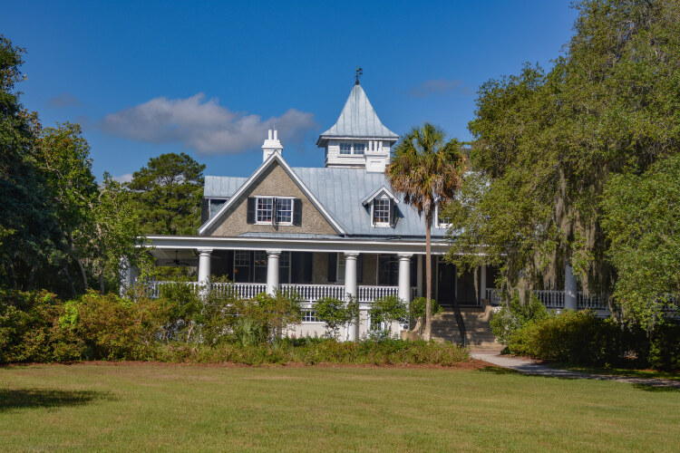
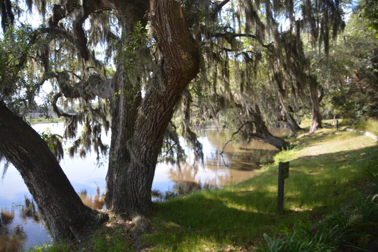
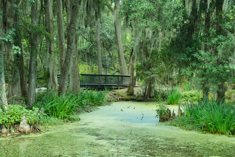
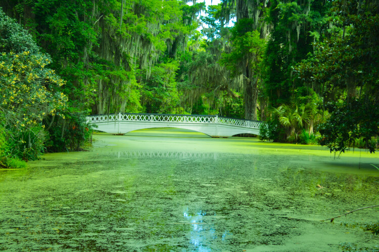
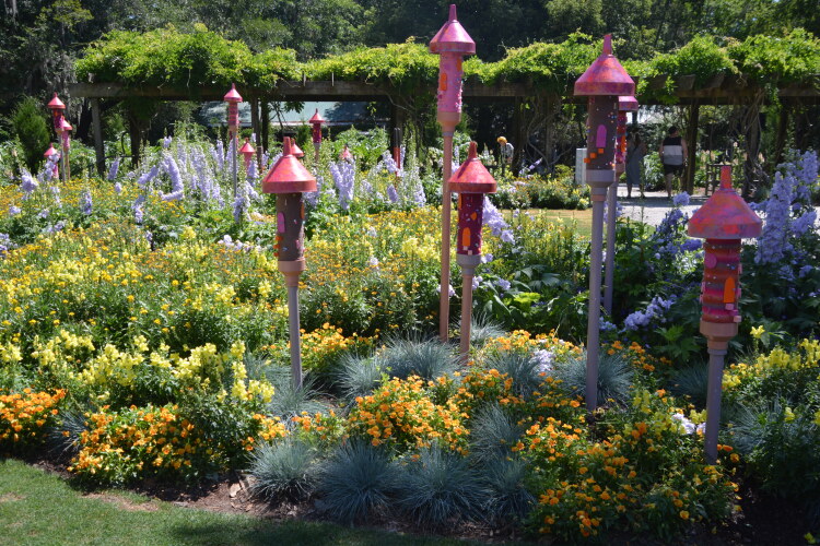
The Magnolia Plantation and Gardens was established in 1676 when it was purchased by Reverend John Drayton and expanded into a rice plantation, maintained by enslaved Africans. Sitting along the Ashley River, the current house is the third on the property. The previous homes were destroyed by fire (in 1810) and the Civil War (in 1865). In 1870 the gardens, for which the plantation is known today, were created and opened to the public. The next few photos were taken on the plantation grounds.
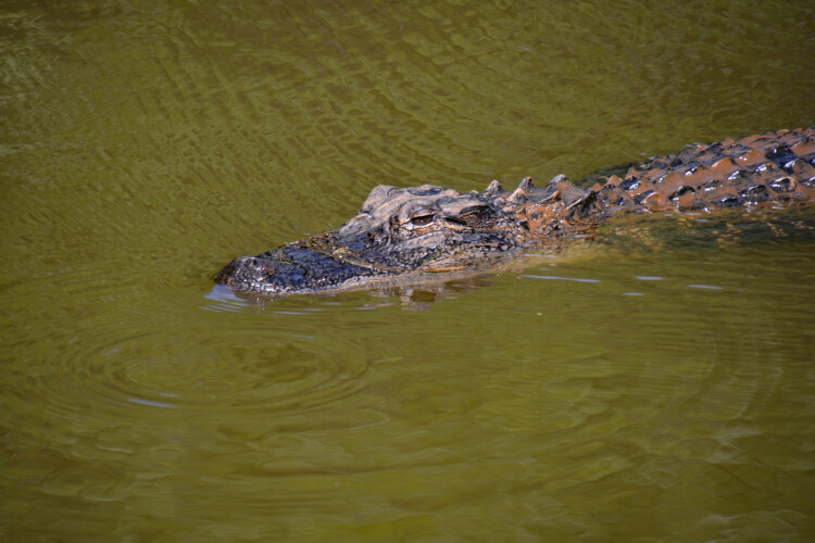
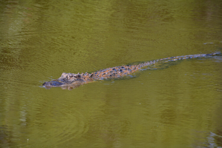
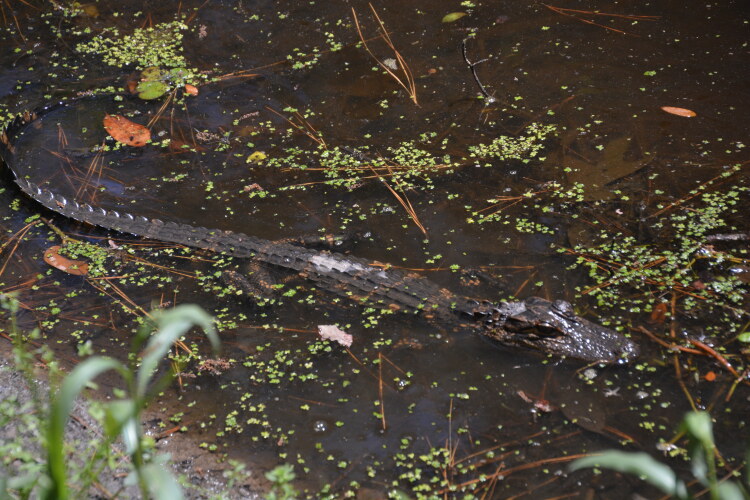
Alligators roam the waters of the nearby Mirror Pond,
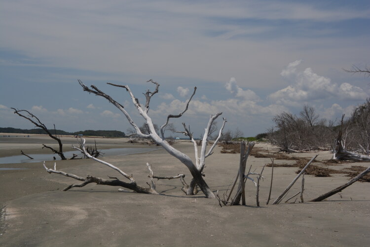
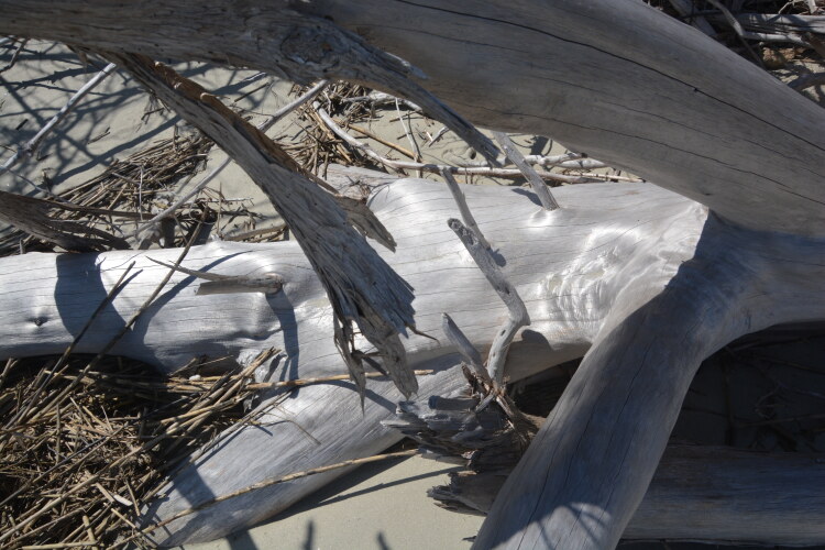
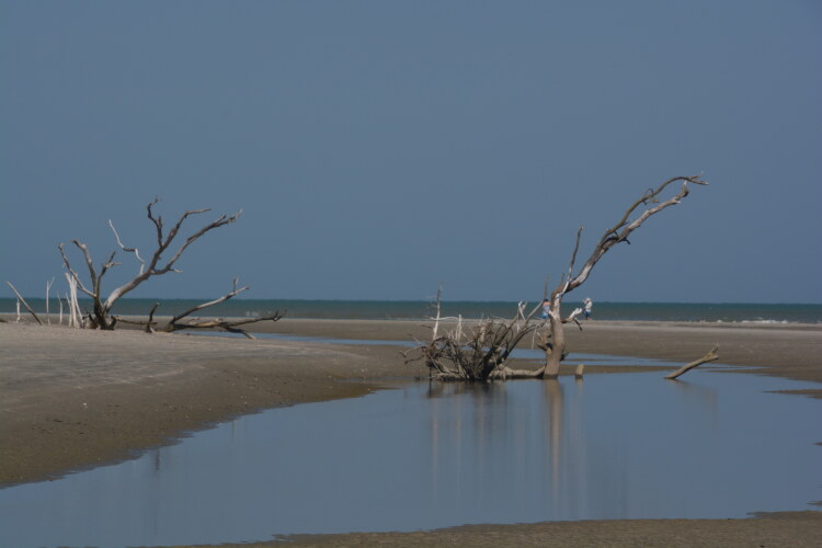
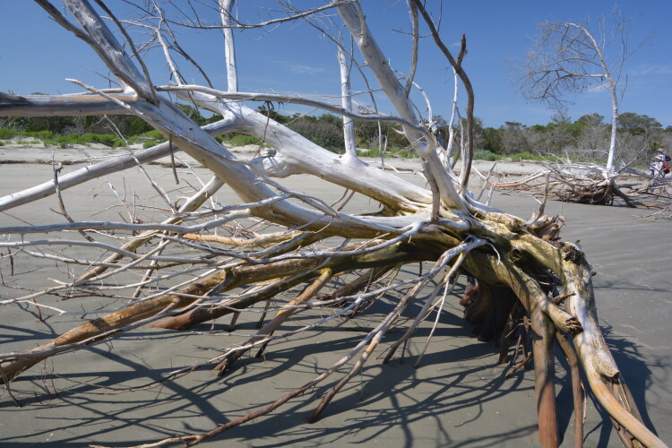
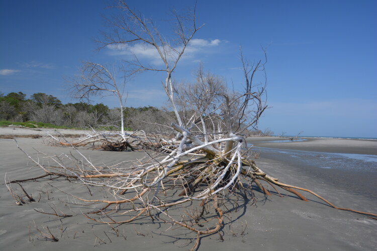
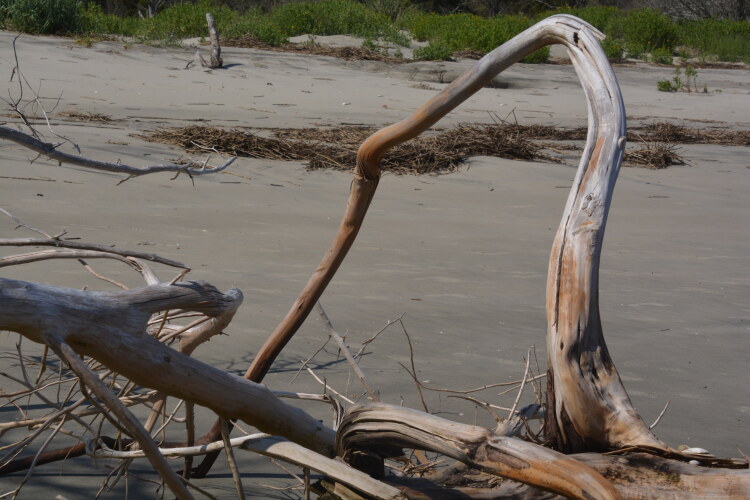
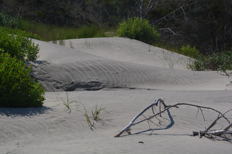
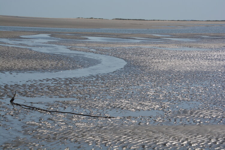
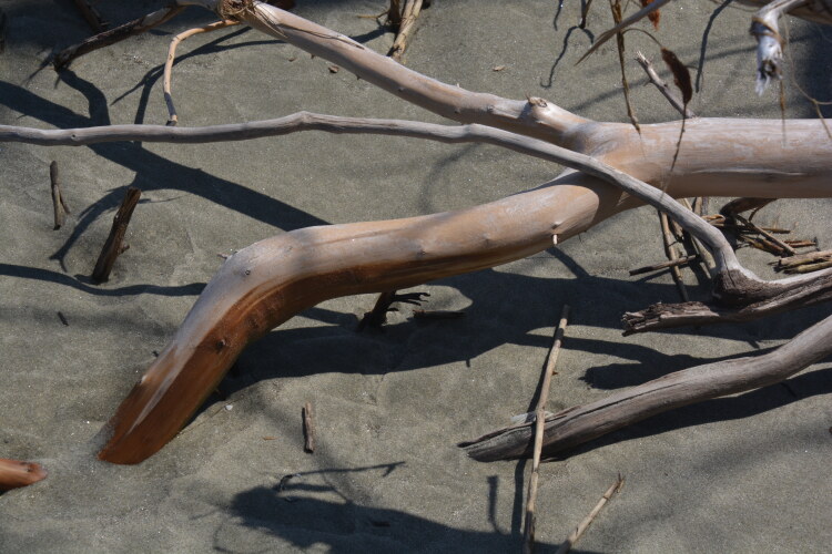
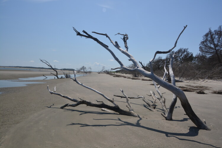
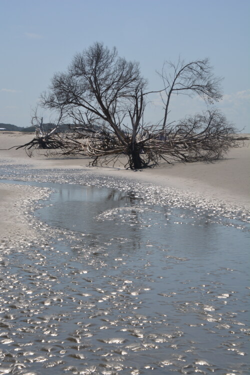
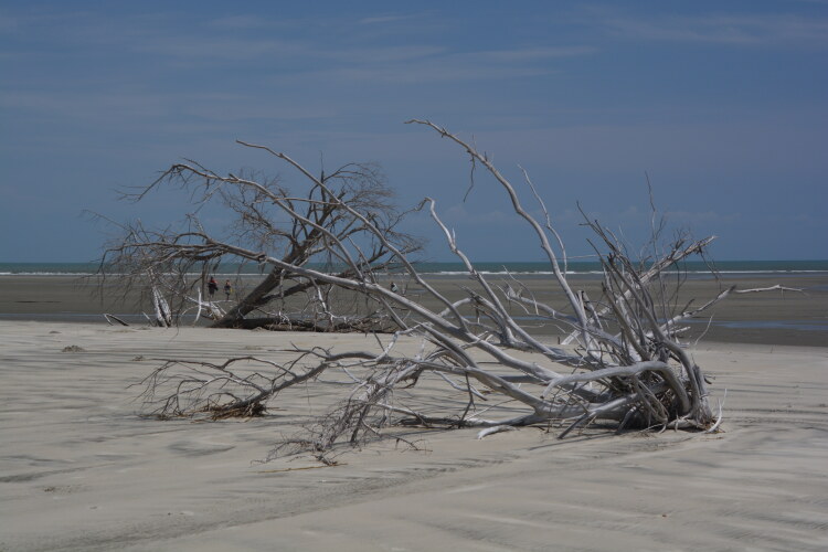
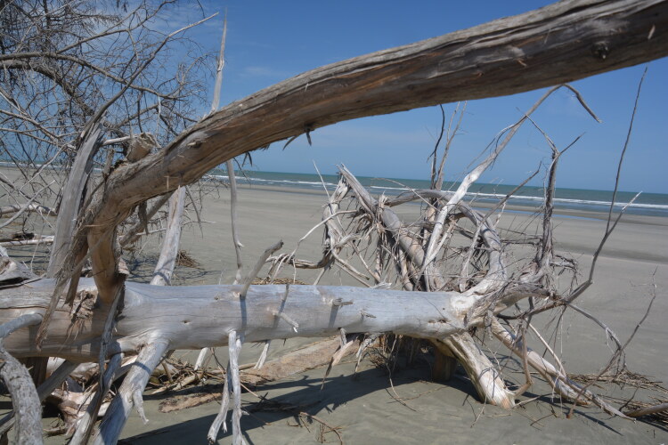
A fantastic beach at the southern side of Cape Romain is Bulls Island. The company Coastal Expeditions does, on certains low-tide days, a drop off to Bulls Island where a wide beach with loads of shells and driftwood abound. Also, by ferry and a 2.5-mile walk, Boneyard Beach can be reached. Here, there are standing skeletons of live oak trees that have been beautifully bleached by the sun and wind. Haunting is the word for Boneyard Beach. The Bulls Island beach drop, where the following pictures were takekn, is a small example of what Boneyard Beach is like.
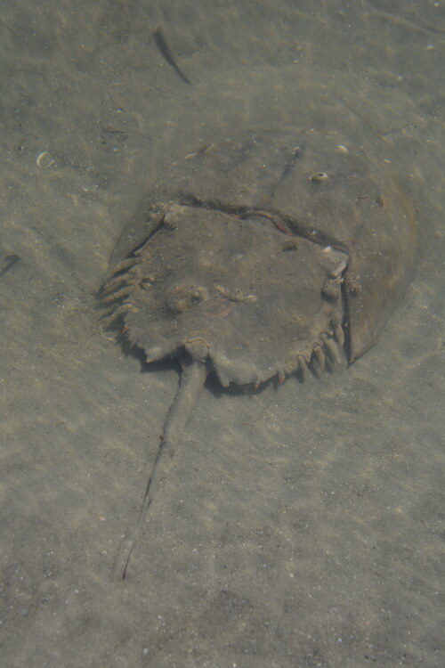
A horeshoe crab in a small pond on the beach waits for high tide to take him back to the big pond.
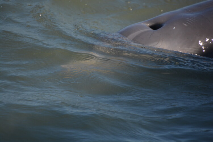
Dolphins are abundant in the waters off Cape Romain, but they're also fast, making it hard to get good photos, never know where one will pop up. But I got a great shot of one's blowhole!
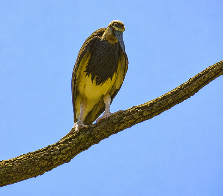
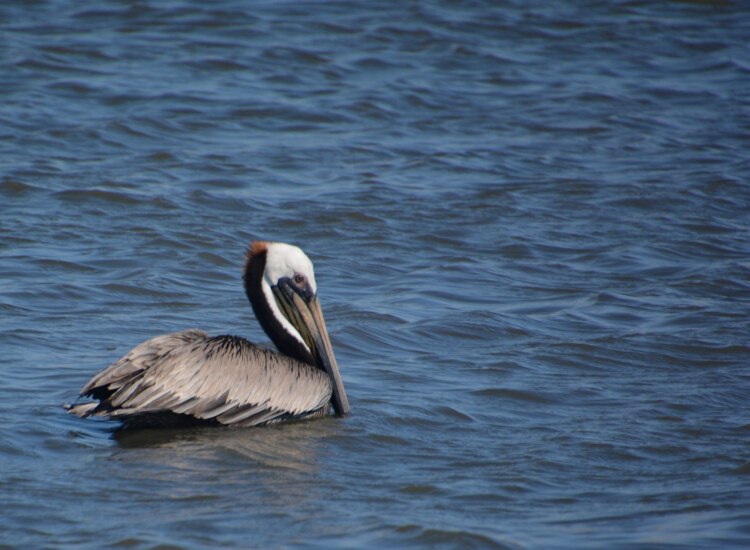
A brown pelican
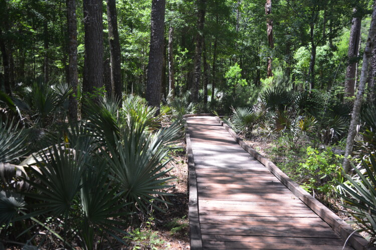
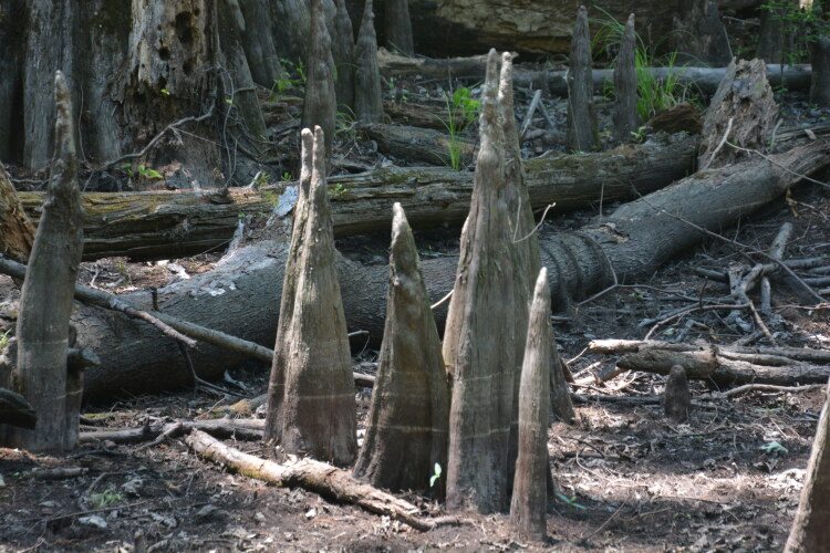
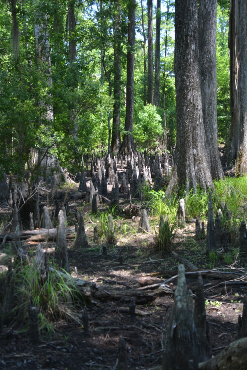
The Caw Caw Interpretive Center north of Charleston is an educational and cultural experience while hiking through a series of trails viewing areas that were both man-made and natural. What was once a land of thick swamp and marshland was turned into rice fields by slaves in the late 1700s and early 1800s. The rice fields are only remnants today, but the cypress-filled swamps are evidence of what the slaves had to endure in order to convert them to an agricultural field.
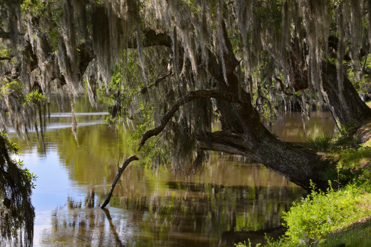
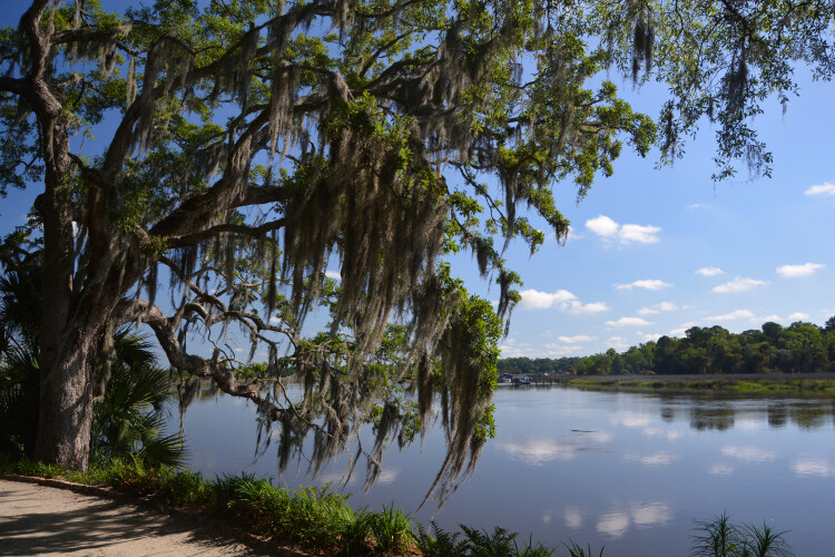
The cypress swamps and the alligators within may not be the prettiest sights, but the moss-covered live oaks that line the trails are picturesque and typical of Low Country forests.
Thank you for visiting these photo pages.
If you're interested in seeing more, please return to my Main Menu at the bottom of my home page and make your selection.
All images within thewanderingchick.com Web site are copyright protected. They may not be downloaded or otherwise copied.
Please contact me if you think a particular photo or set of photos can be used in your publication.
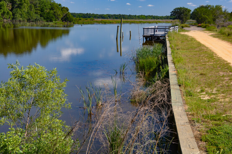
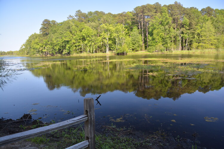
The Santee National Wildlife Refuge is a seven-mile self-guided driving tour that takes you through a diverse habitat for wildlife, reptilles and birds. Hiking or biking the well-groomed trails is an encouraged option to driving. I didn't see much wildlife while there, but at the right time of day, I suspect all sorts of life come to the forefront. It's considered a hot spot for bird watchers as the ponds such as the one below have an open invitation to migrating fowl.
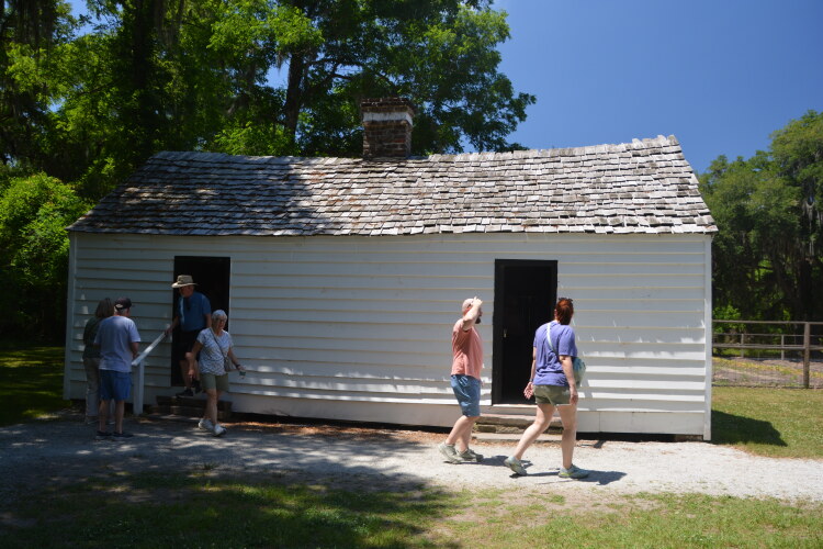
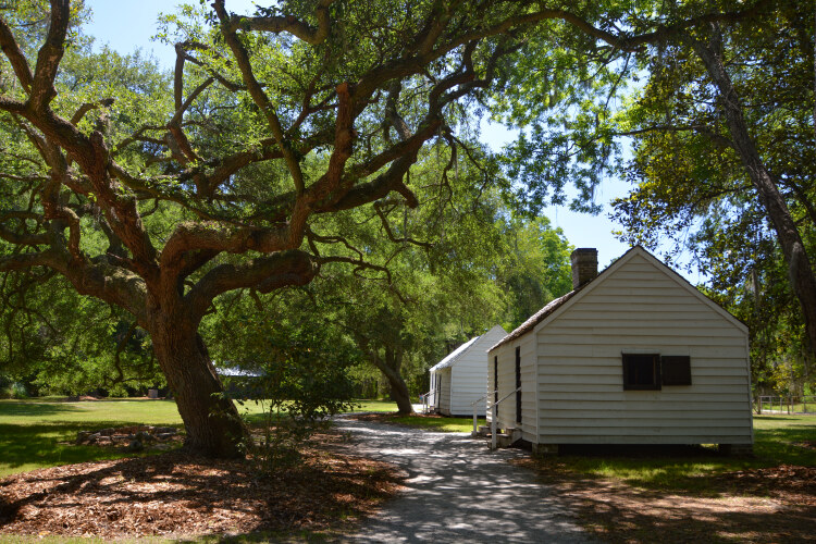
The "From Slavery to Freedom" Tour was informative and educational. After an introduction to the enslavement here, we were able to visit the cabins. Each cabin represents a different time period from the beginning of slavery through emancipation. The tour was in honor of the men, women and children who lived and worked the rice fields and the property gardens.
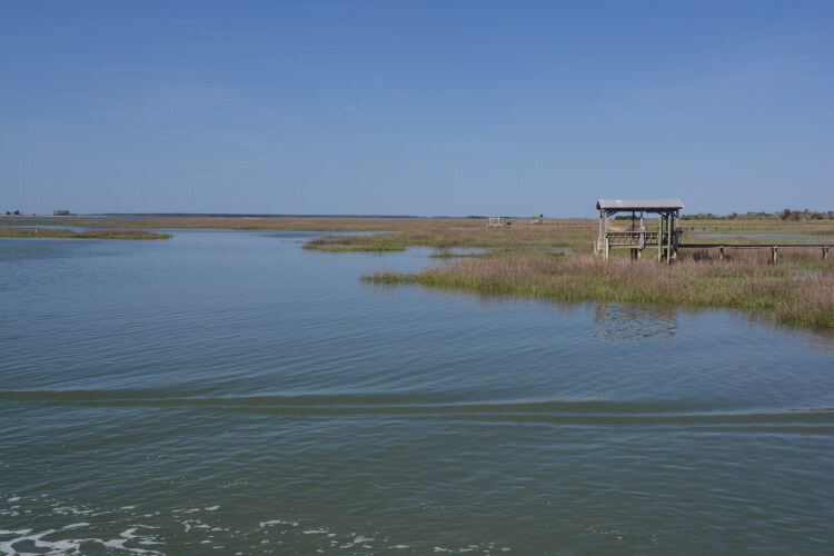
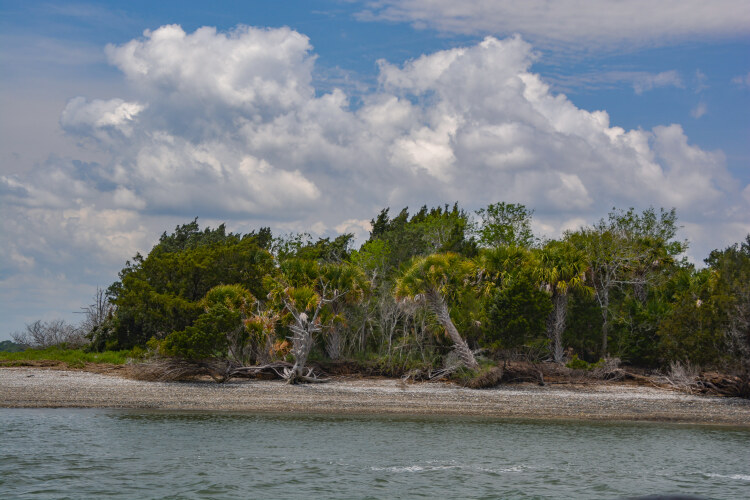
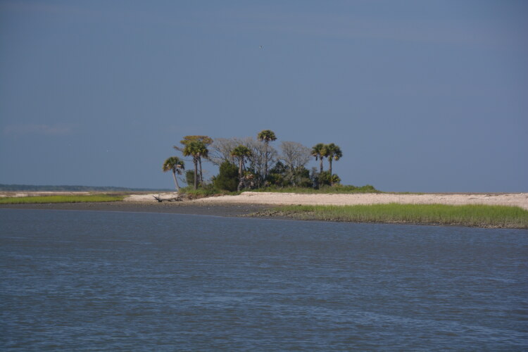
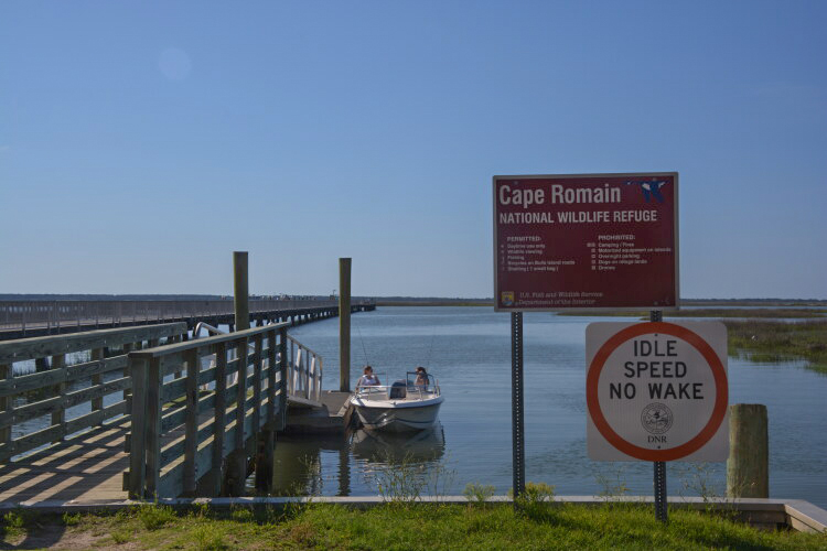
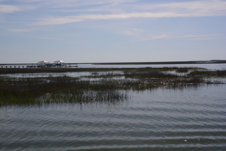
Cape Romain National Wildlife Refuge is a maze of salt marshes, estuaries, waterways, forests and beaches that extend 22 miles along South Carolina's coast near Charleston. It is a nesting ground for myriad coastal birds and a natural habitat for wildlife. Obviously, boat is the only transport. Because of the vast nesting grounds, please respect signage, ropes and closurs for the protection of the wildlife.
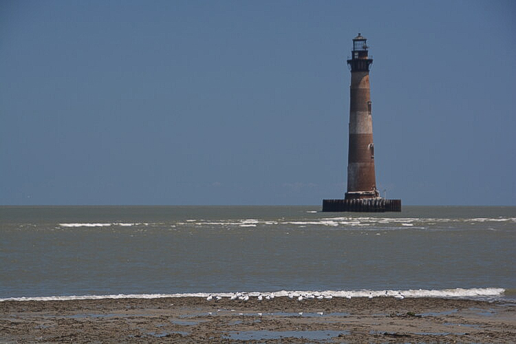
The Morris Island lighthouse, a brick structure, 161-feet tall (approx. 50 meters) was constructed in 1876. It is not a working lighthouse today, but stands as a monument to years past as vessels made their way into Charleston Harbor. It is South Carolina's tallest lighthouse.