the wandering chick
...Whidbey Island
Before visiting Washington's Puget Sound area it was, frankly, a mumble-jumble of islands and waterways and ferries that ran between them. After nearly a month traveling the state, I at least am now able to put 'faces' on the names I've heard about for much of my life. And I've learned a few new places I had never heard of.
Whidbey Island was my home base as I traveled the Puget Sound area, and so it's natural that I would get to know it more than the others. The island treated me to green pastures, picturesque harbor towns and amazing sunsets.
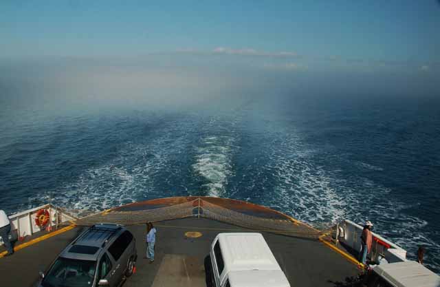
The ferry schedule became my most important 'travel brochure,' and by the end of the trip, I must have had 10 of them under the car seats, in the doors, and in my purse and pockets.
Whidbey became a friend, and she's one I hope to be able to visit again someday.
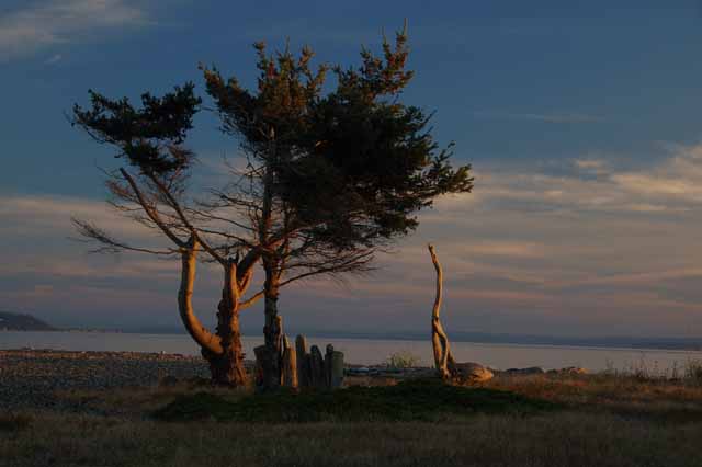
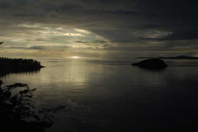
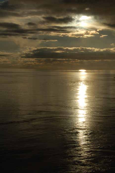
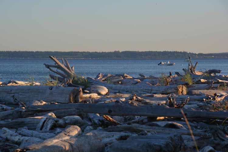
On a section of Whidbey Island's west shore is Admiralty Bay where this picture was taken near sunset.
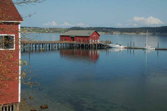
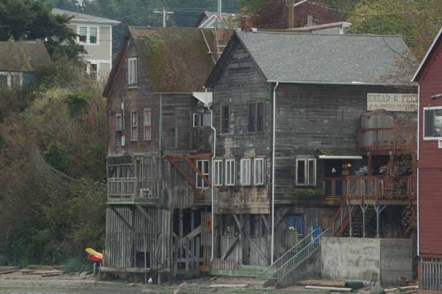
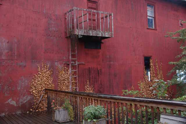
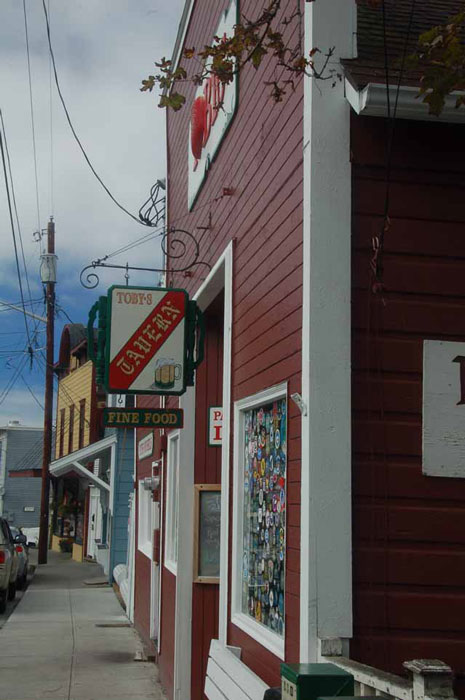
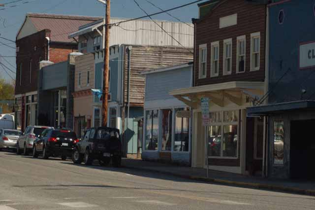
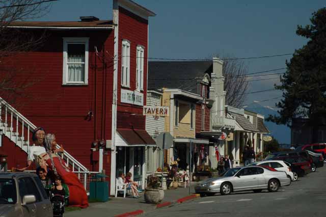
Coupeville is a charming little sea town on Penn Cove with lots of wonderful places to eat, like Toby's Tavern (below), the Knead and Feed and Kim's Restaurant (left), which serves a delicious vegetable panini.
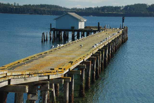
Another coastal town is Langley, on Whidbey's south end.
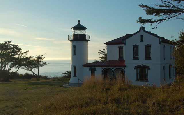
Admiralty Head Lighthouse was originally built in 1861, but was rebuilt in 1903. It sits on Fort Casey State Park, silently watching over Whidbey's Admiralty Cove and Puget Sound.
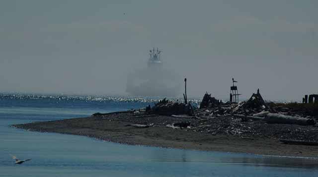
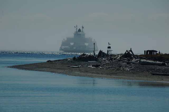
On foggy days, you can always hear the lonely-sounding horn of the Coupeville-Port Townsend ferry long before you see it emerge, loud and proud, at the Keystone landing.
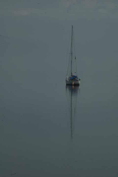
On the glassy waters of Penn Cove, Whidbey Island
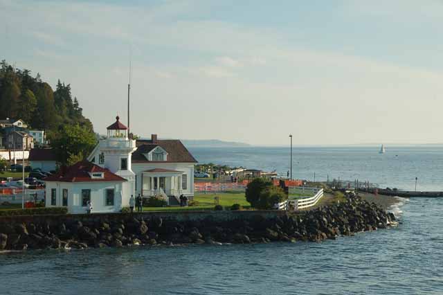
The Mulkiteo Lighthouse watches for ferries as they transport passengers across Puget Sound between Mulkiteo (on the mainland) and Clinton, on Whidbey Island's south end.
Above and Left: Penn Cove, known for its mussels.
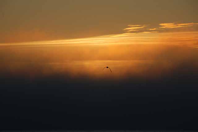
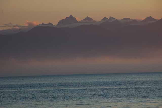
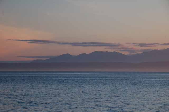
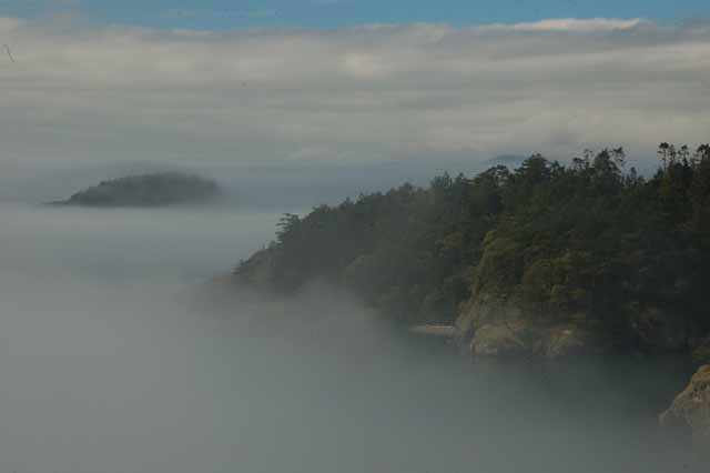
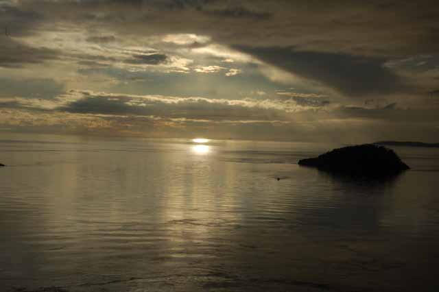
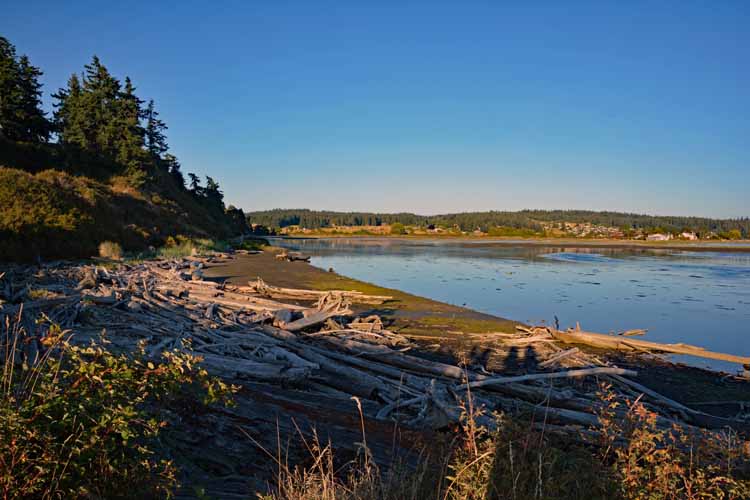
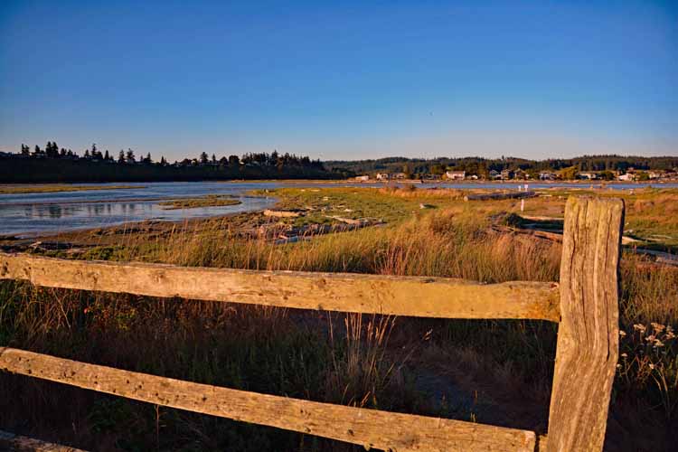
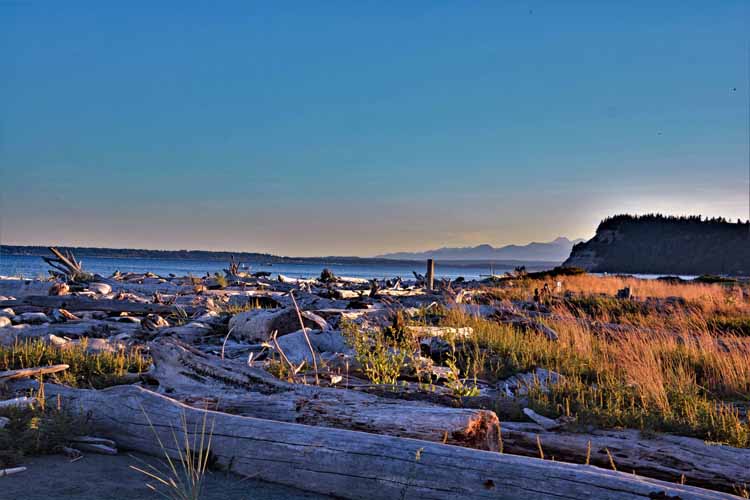
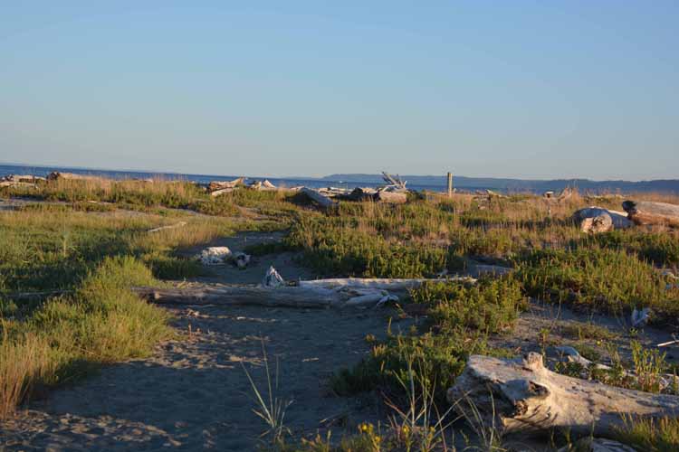
The South Whidbey Island State Park beach looks out to the Strait of Juan de Fuca and is a great place for watching sunsets, which is more dramatic when the fog's rolling in, partially obscuring the view of the Olympic Mountains (right).
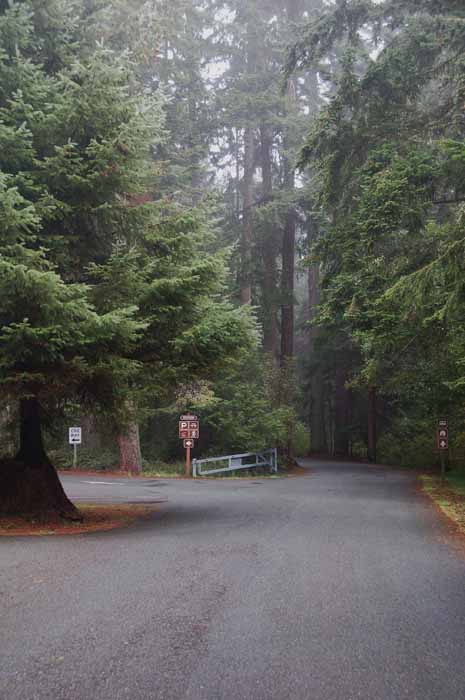
The entrance to the South Whidbey Island State Park
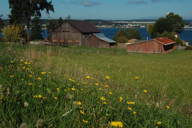
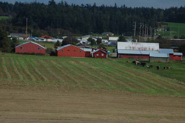
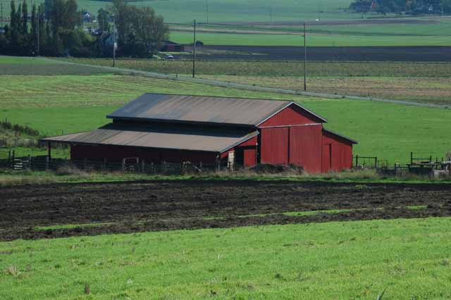
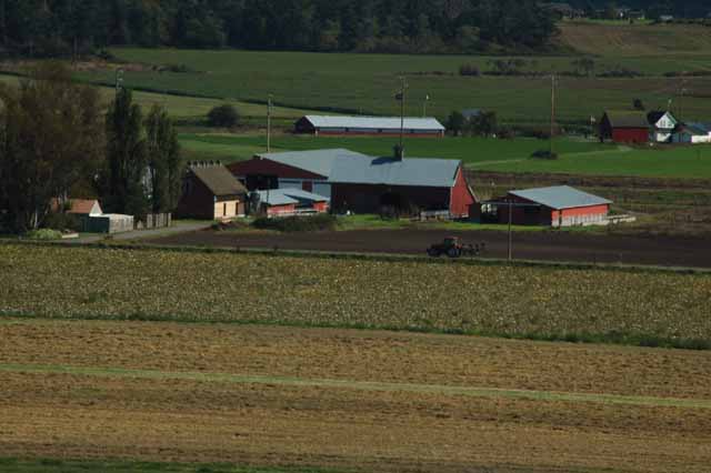
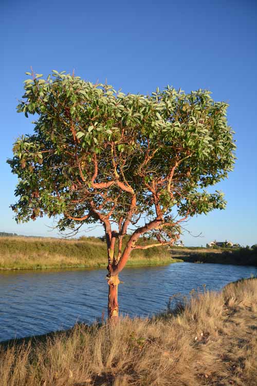
On Whidbey's west side, looking out at the Strait of Juan de Fuca is the Prairie Overlook from where the above photo and a few following were taken. What's pointed out at this area of natural farmland is that no forests were cut down to create it; generations of cultivation and farming have kept the soil fertile.
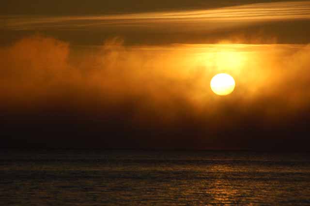
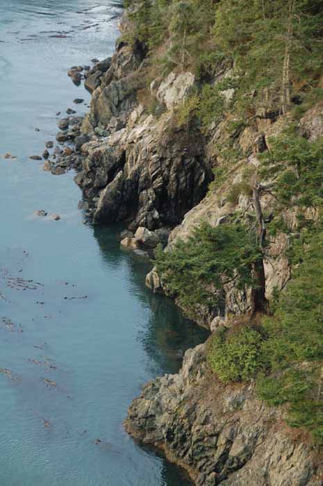
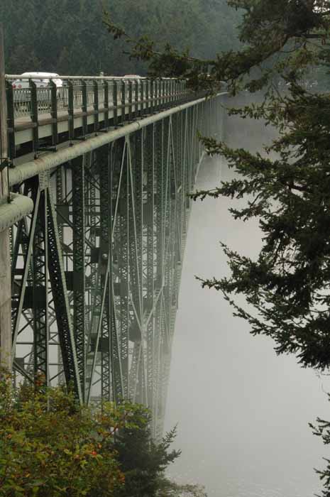
Deception Pass is a strait that separates Whidbey Island at its north end from Fidalgo Island. The strait connects the Strait of Juan de Fuca with Skagit Bay. The bridge at Deception Pass is, typical of the area, often fog-laden and is a popular spot with tourists due to the spectacular cliffs, hiking trails and views of the waterway. AND it's another good spot to watch the sun go down.
Thank you for visiting these photo pages.
If you're interested in seeing more, please return to the Main Menu at the bottom of my home page and make your selection.
All images within 'The Wandering Chick' Web site are copyright protected. They may not be downloaded or otherwise copied.
Please contact me if you think a particular photo or set of photos can be used in your publication.
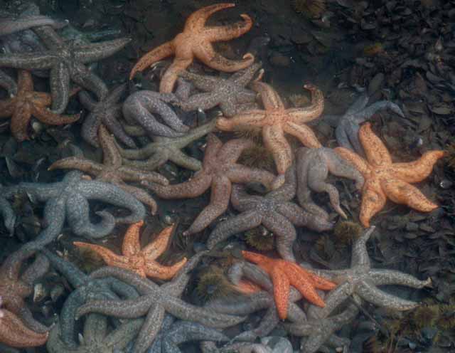
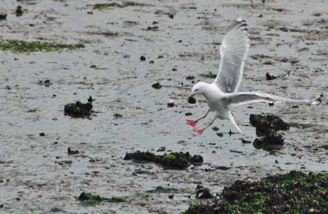
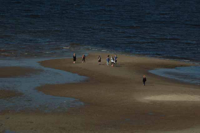
At low tide, starfish can be seen in multitudes under Kim's Restaurant in Coupeville. And, (right) seagulls have an easier time finding a clam snack.
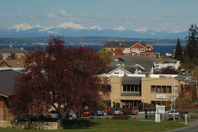
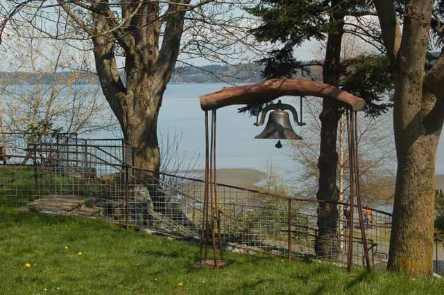
The town of Langley sits gracefully on the Saratoga Passage waterway with a perfect view of the foothills of the Cascades. With cozy restaurants, good shopping and a pathway for a peaceful stroll along the water, a day goes quickly in Langley. The bell, right, is the town 'whale bell.' It is rung to make locals and tourists aware of the presence of a whale passing through the waterway.
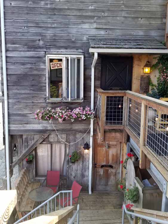
Entrance to the Knead and Feed Bakery's "downstairs cafe" in Coupeville
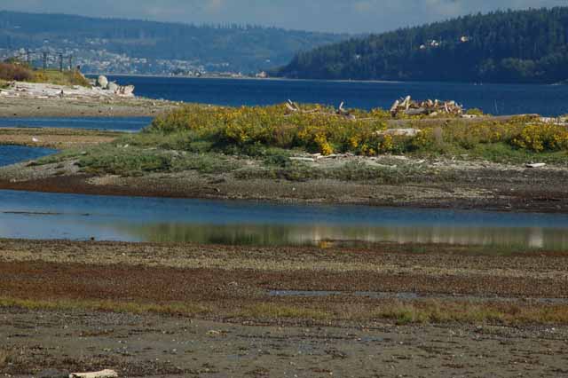
There's a quiet Langley community on the outskirts of the town that has a wonderful short, easy trail to what is called Deer Lagoon and to what also leads to the beach of Useless Bay. Often local artists will go there to paint the tranquil scene. Others go there for beach combing, or to reach Double Bluff beach.