The North Cascades Highway is Washington's most northern east-west, the Highway 20, that begins near the Interstate 5 and travels south-eastward to the town of Winthrop.
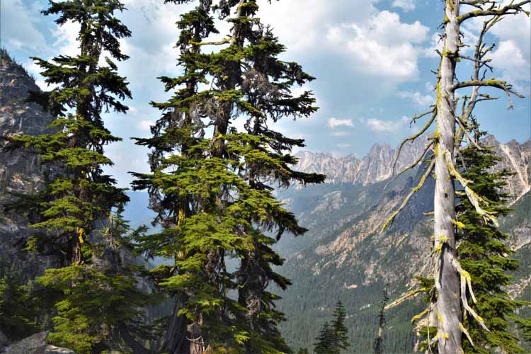
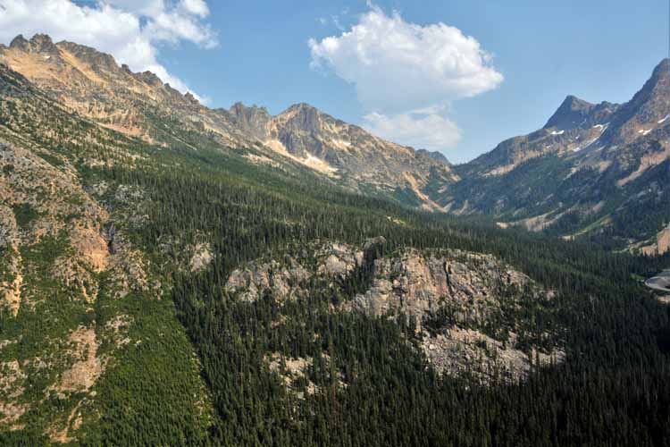
The landscape changes dramatically from pasture and valley to forested mountains and rocky cliffs as it winds through the North Cascades National Park and its glacial lakes. Not to be outdone by the green waters of the lakes, the Washington Pass offers equally stunning passage. Over the pass, the landscape changes once more, back to a soothing valley floor and into the town of Winthrop.
Gorges, glacial lakes, waterfalls, high mountains and low valleys- it's all here on this stunning 130-mile drive.
the wandering chick
Leg 3 - Washington to Albuquerque
Washington: the N.Cascades Scenic Byway
...A summer road trip
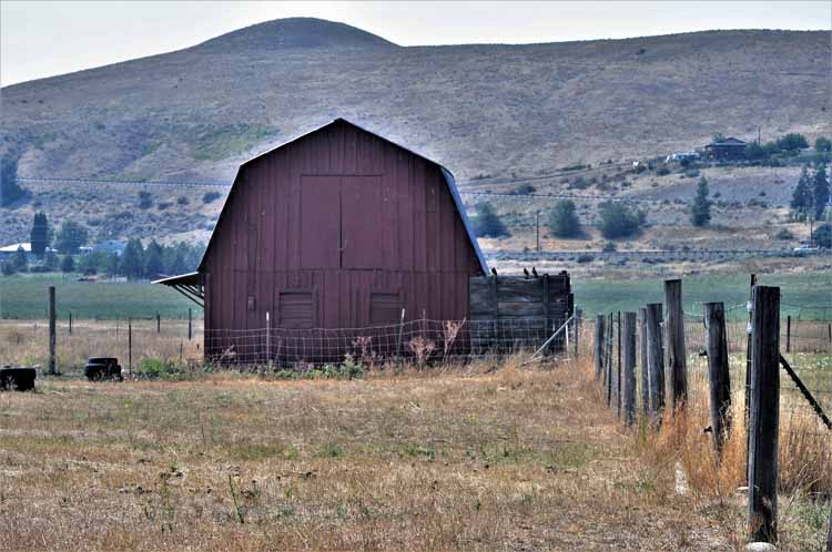
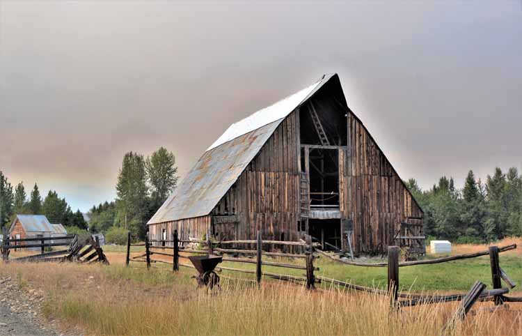
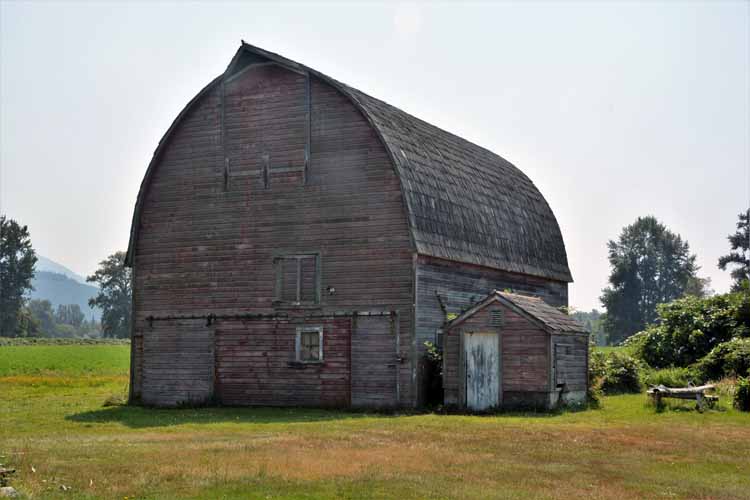
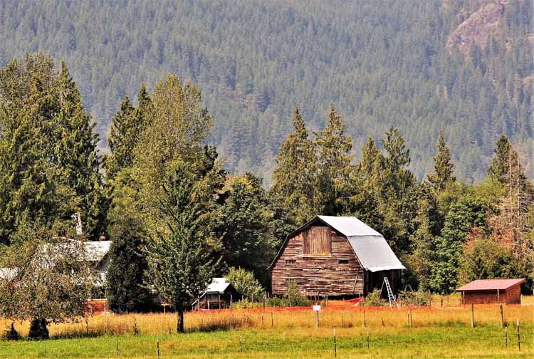
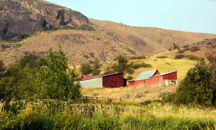
I wasn't even on the scenic highway yet before I was stopping to take pictures. This old barn, simple and unassuming as it is, had me pulling over and raising the camera.
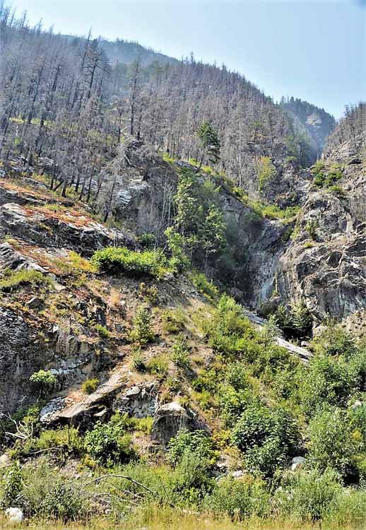
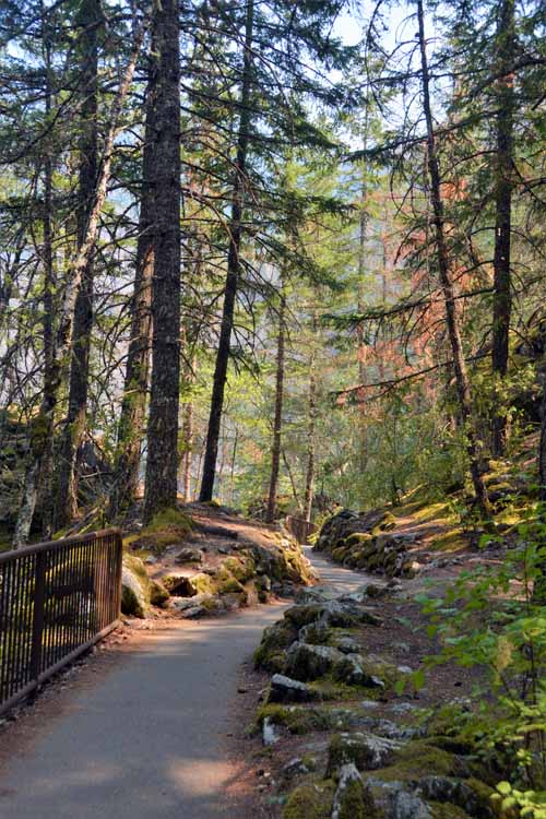
The entrance to the N.Cascades National Park is a dramatic drive through high-cliffed gorges filled with huge boulders.
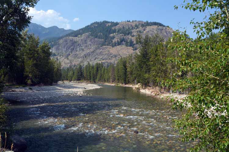
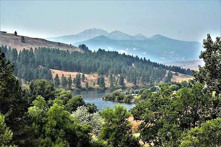
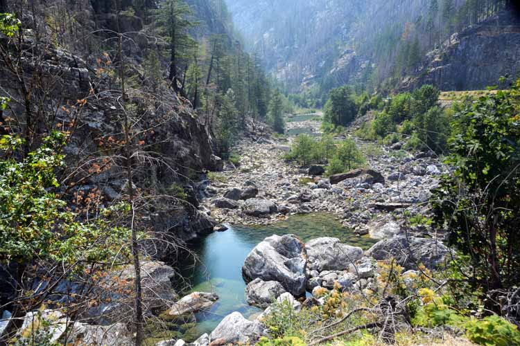
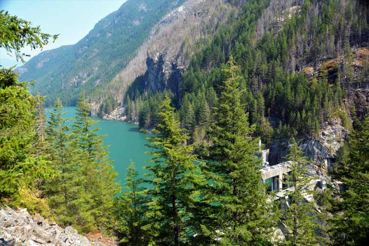
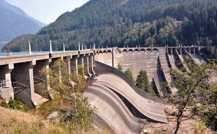
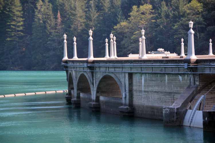
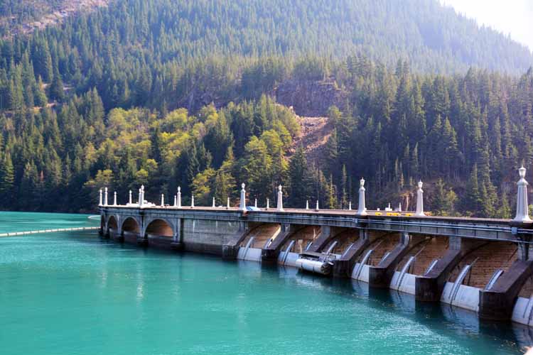
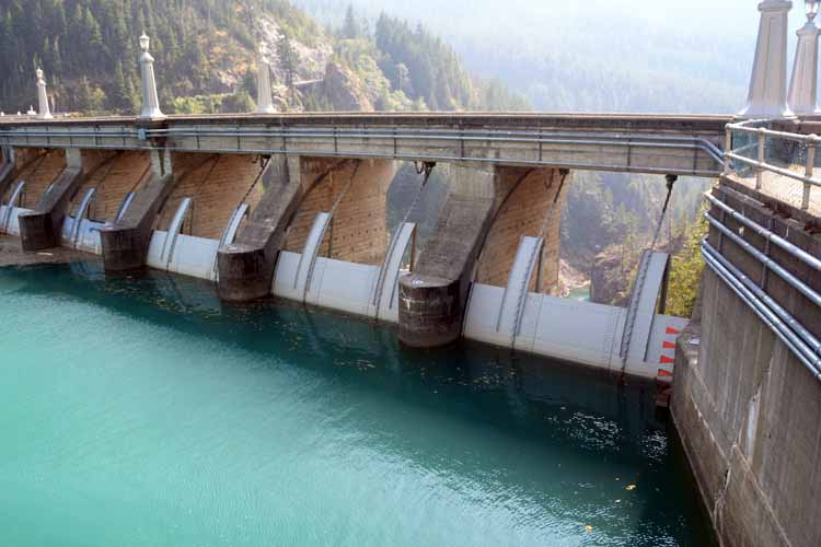
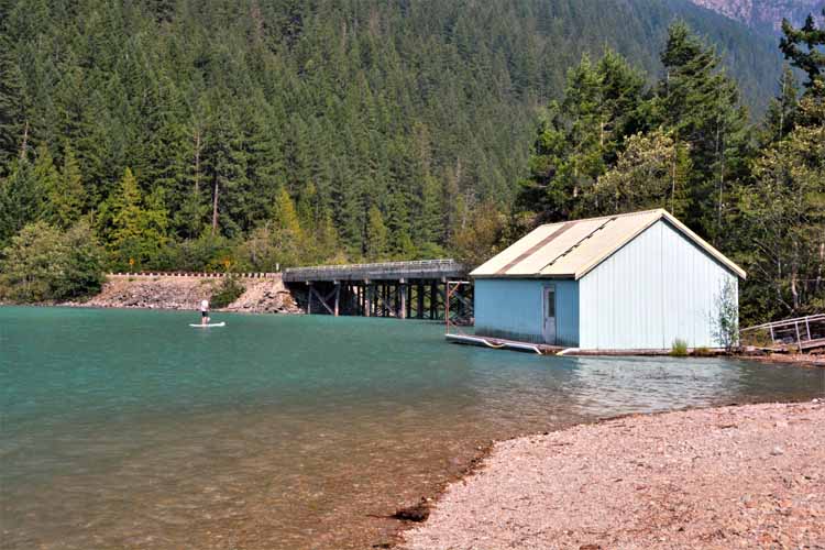
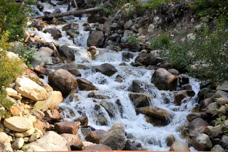
Highway 20 continues to Diablo Lake and Diablo Dam. The lake is a reservoir created by the dam and is located between Gorge Lake and Ross Lake. The next few shots were taken in
this stunning area of glacial waters and waterfalls.
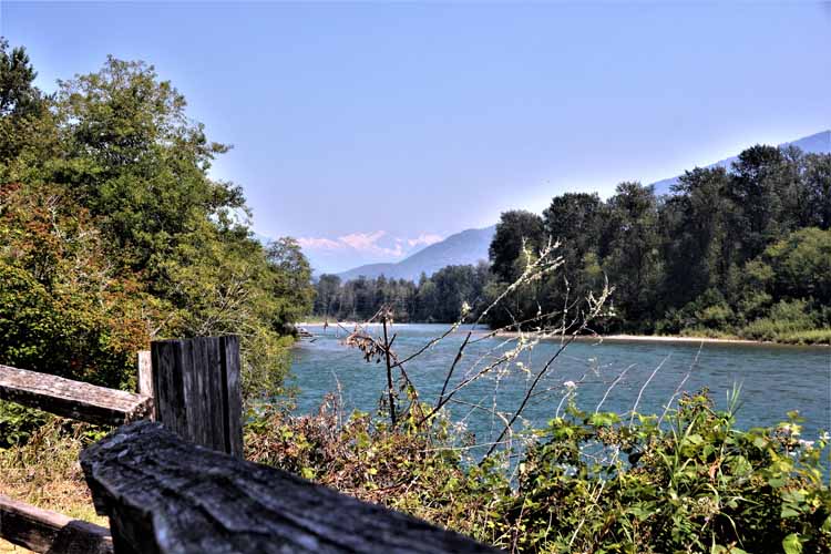
The Skagit River from the viewpoint of a small picnic area off the highway
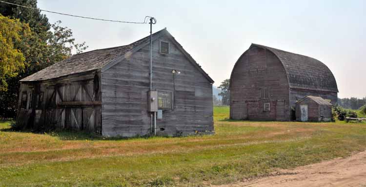
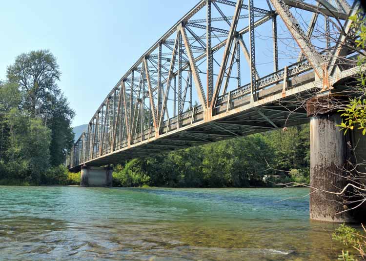
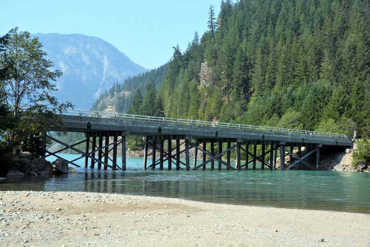
The Marblemount boat launch is a good place to get a picture of the Skagit River Bridge And across the highway...yep, another sweet barn scene.
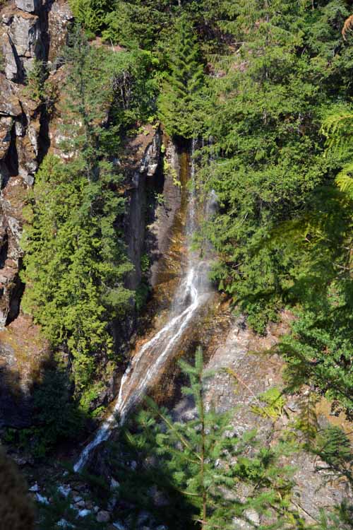
A short hiking trail to the Gorge Creek Overlook offers views of a small-running waterfall and the entrance to Diablo Lake.
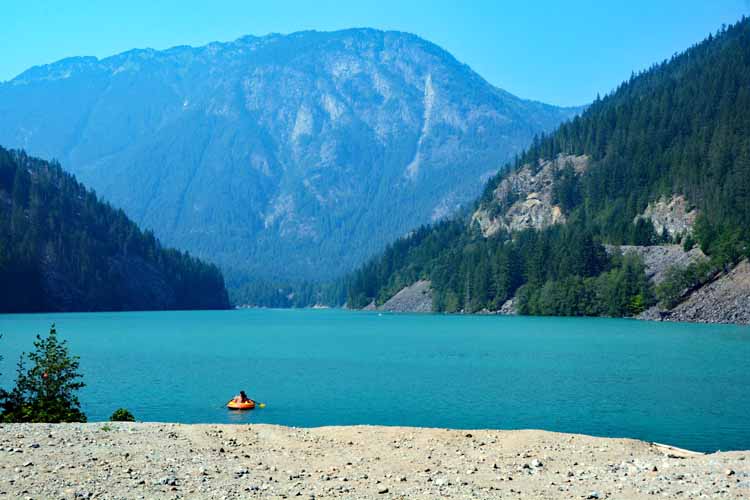
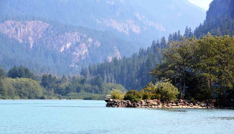
This is the southern and U.S. portion of 23-mile long Ross Lake, a reservoir in the North Cascade mountains. The Ross Lake National Recreation Area offers all sorts of boating and water activities.
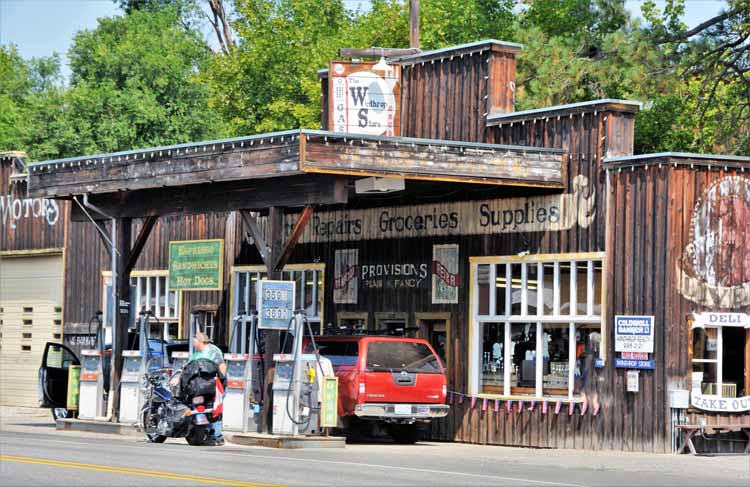
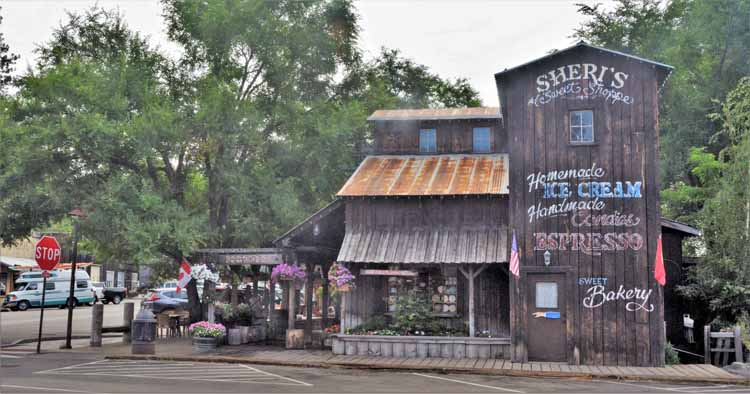
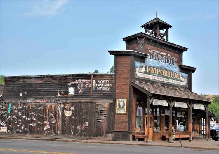
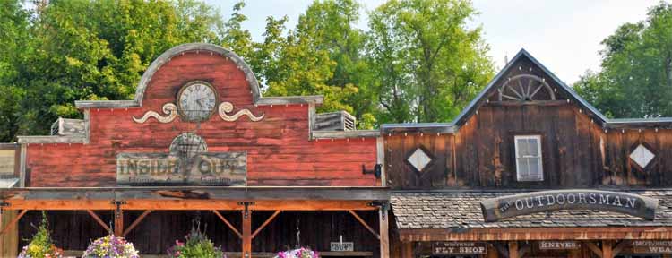
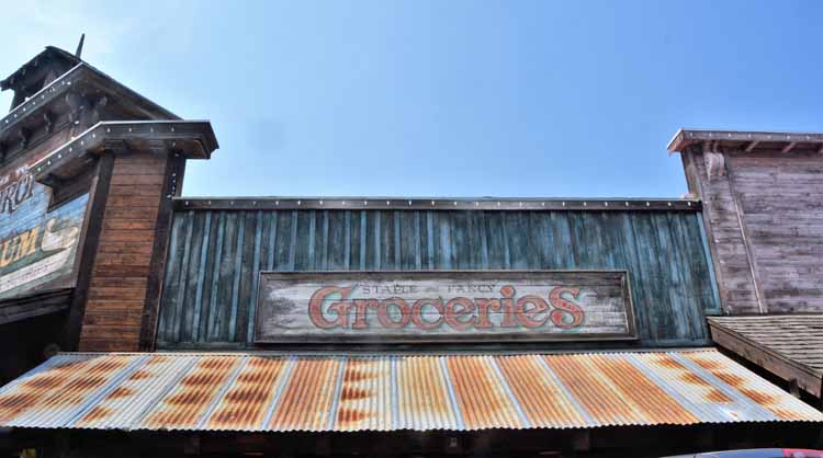
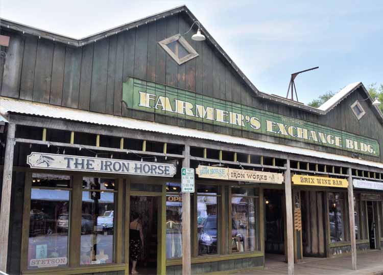
Winthrop may be a re-created western-style town, but its Old West facades and wooden boardwalks make you feel like you should be riding in on your horse wearing spurs and leather chaps. Winthrop is a town of less than 500 people, but tourists during the summer months make it a bustling hub of activities.
What is today the town hall was once a part of the 1891-built Duck Brand Saloon. The saloon was one of the few buildings to survive a fire that swept through the town two years later.
Winthrop's history is typical of much of the small western towns: gold was discovered, but then dried up. It was gold mining that brought the first white settlers in in 1883. Ten years later a fire destroyed much of the city, in 1915, the mines shut down, and in 1924 the town became officially incorporated. In 1972, when the highway was constructed through the heart of it, residents voted to try to bring in tourists with a western-styled theme. It worked, but many other things bring in tourism as well.. Among them, cross-country skiing in the winter and the Pearrygin State Park in the summer. Three rivers gather , in Winthrop, the Methow, the Twisp and the Chewuch, all offering an abundance of water activities.

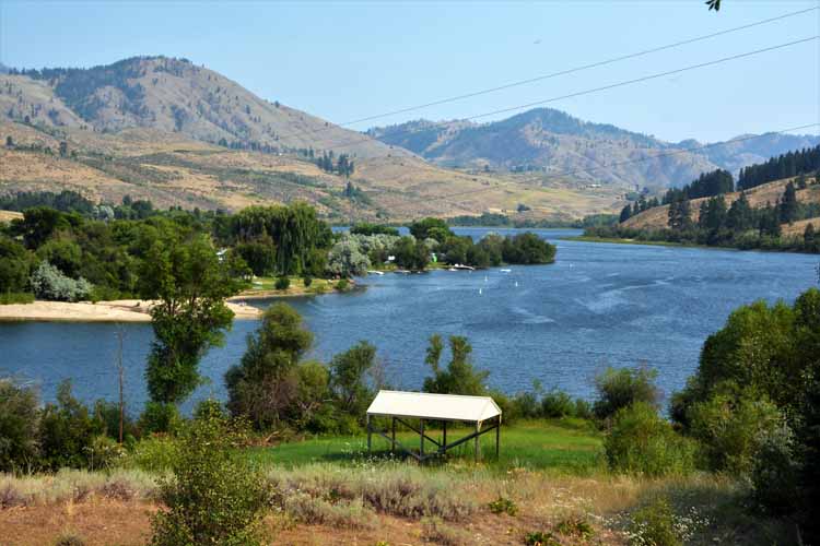
The Pearrygin State Park outside Winthrop is a great water activity spot. Its surroundings of pastures and rolling hills are soothing and picturesque. Ben Pearrygin was one of the first white settlers into Winthrop when the prospects of gold lured him in in 1883. The state park is a main contributor to Winthrop's tourism.
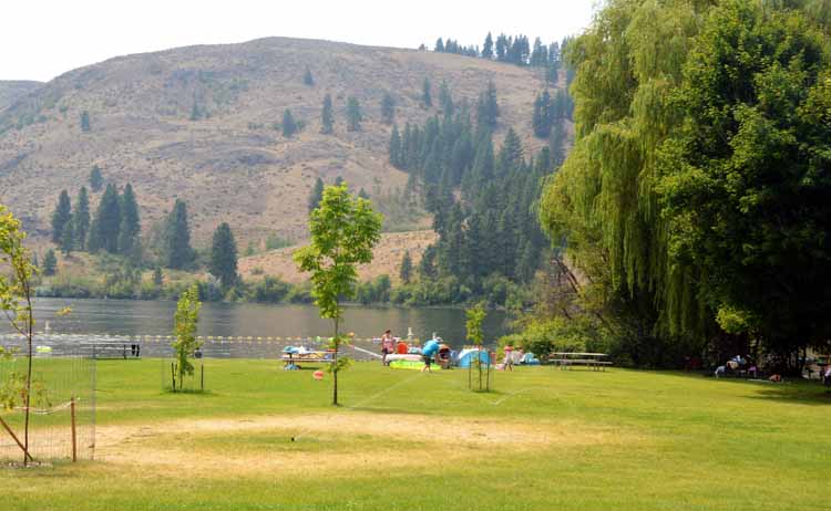
The Pearrygin State Park swimming hole
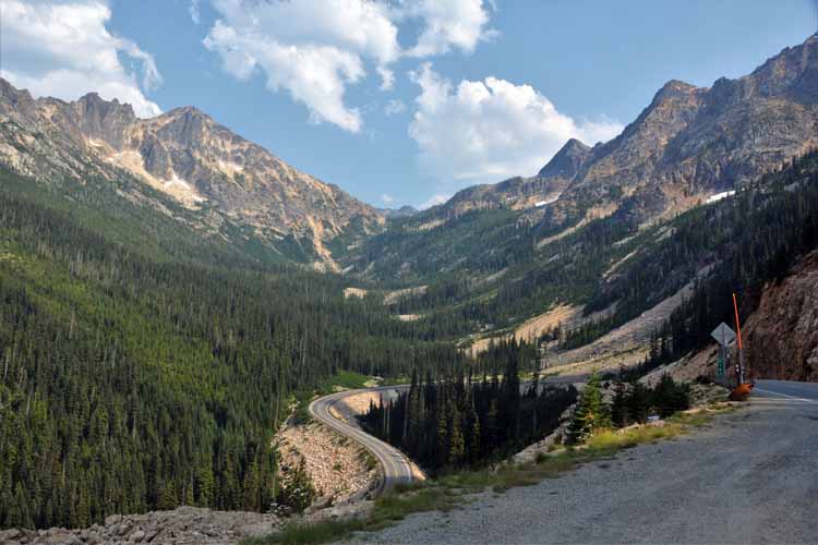
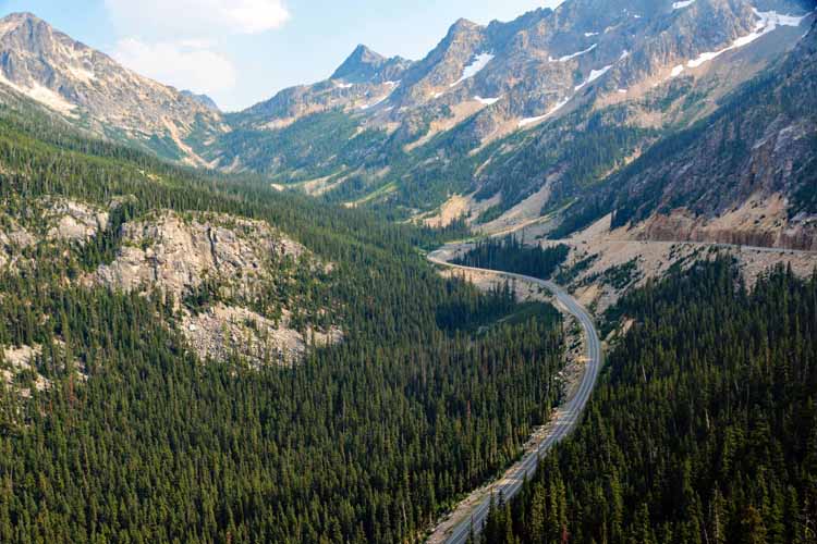
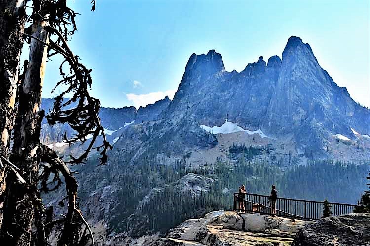
Washington Pass is the highest point on the North Cascades Highway at 5,400 feet. A gentle hike to an overlook offers sweeping panoramas and the highway below.
The huge block of stone in this photo is a fenced viewpoint for visitors. A parking area off the Highway 20 is provided for the short and gradual uphill climb to the overlook.
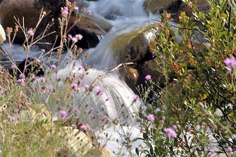
Varden Creek is located just off the Highway 20 near the town of Mazama.
Seventeen miles on the east side of Washington Pass and closer still to Wiinthrop is the unincorporated town of Mazama, population around 200.
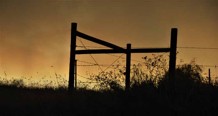
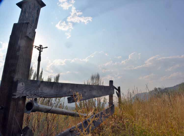
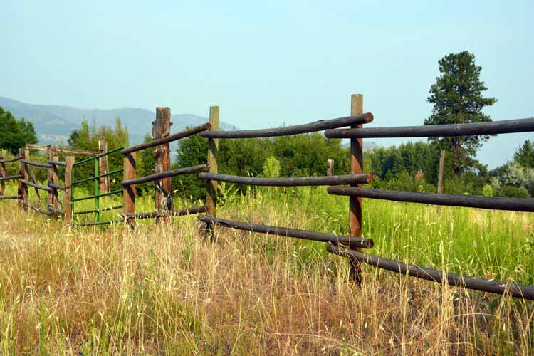
I loved the drive between Winthrop and the Pearrygin State Park. The soft, low rolling hills seem to have a different color each time I passed, depending on the time of day, I guess. I stopped many times to try to capture the beauty that lay before me. Whether it was a pond, a deer, or an old weathering fence, seems there was always something that had me pulling over to grab my camera.
On one occasion, I saw this mama deer with her fawn. By the time I had pulled over, grabbed the camera and quietly gotten out of the car, she had chased the fawn into the woods. Mamas are protective that way.
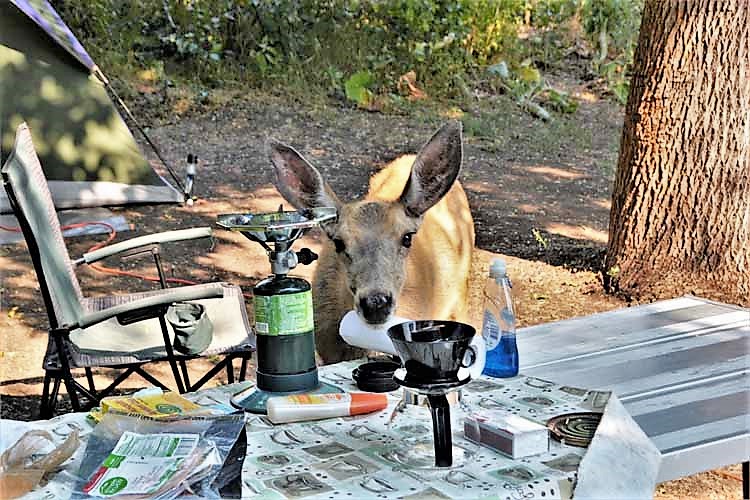
I didn't have to go far to find deer. In fact, I didn't have to go anywhere. I thought it was bear who came intruding on your campsite in search of food. This missy mule deeer did just that. When she realized she wasn't getting any, she stalked off...kinda mad, I think. Just a reminder: Please don't feed the wild animals, no matter how tame - or how hungry - they may seem.
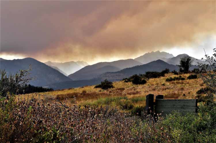
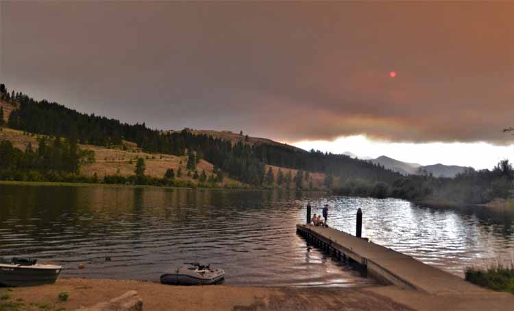
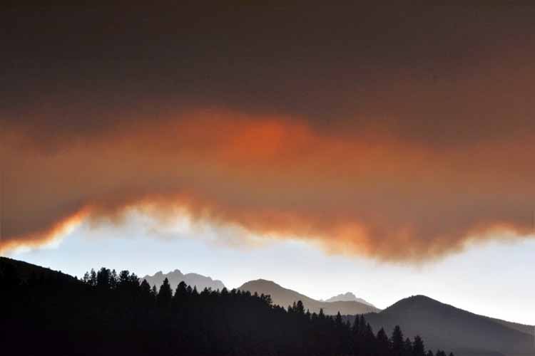
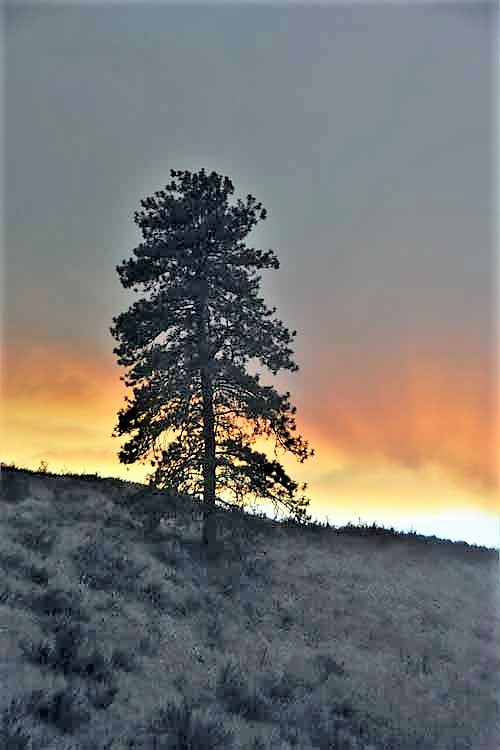
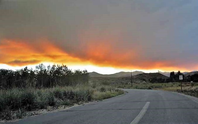
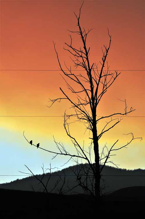
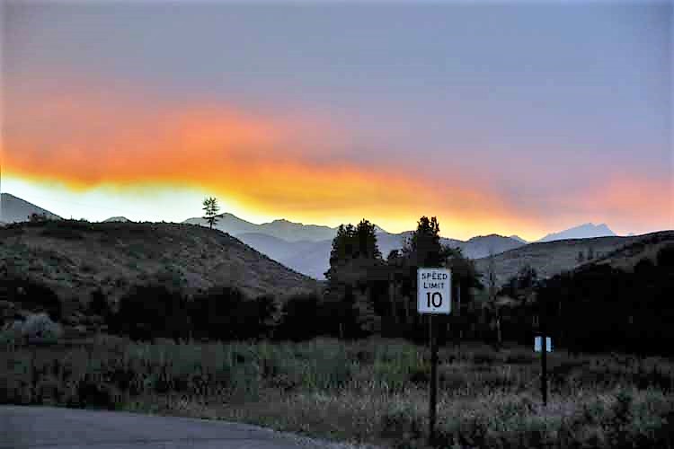
It was my second day at Pearrygin State Park that the smoke from fires in surrounding states started filling the skies. As unfortunate as it was, it made for some interesting sunsets.
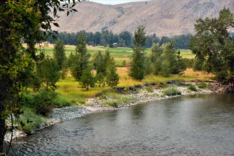
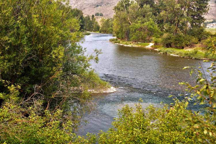
The Methow River
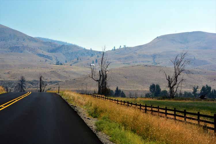
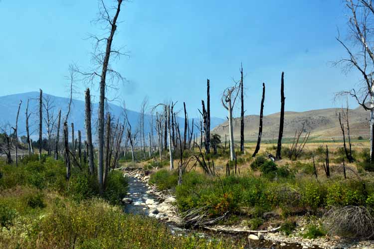
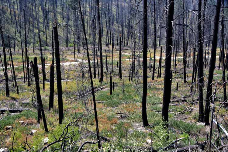
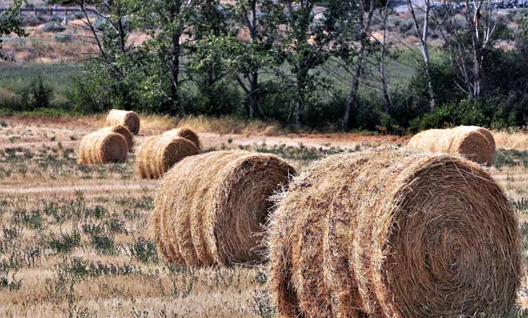
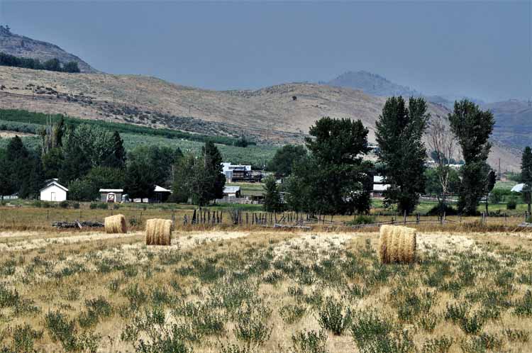
Despite the smoke in the air, I took a drive to the valley town of Okanogan, some 20 miles to the east on the same Highway 20. My first views were of burnt forests. Depressing, but seeing new growth was encouraging. Once arriving Okanogan, rich in agriculture, I was surrounded by barns, haybales and fields of just-harvested crops. I was a happy person with a camera.
the Methow River
.JPG)
.JPG)
.JPG)
 Washington Pass overlook, Hiway 20, Washington.JPG)
.JPG)
.JPG)
.JPG)
.JPG)
.JPG)
.JPG)

.JPG)
.JPG)
.JPG)