the wandering chick
...A summer road trip
Leg 3 - Washington to Albuquerque
Oregon - Cascade Lakes Scenic Byway, Sisters, McKenzie-Santiam Passes

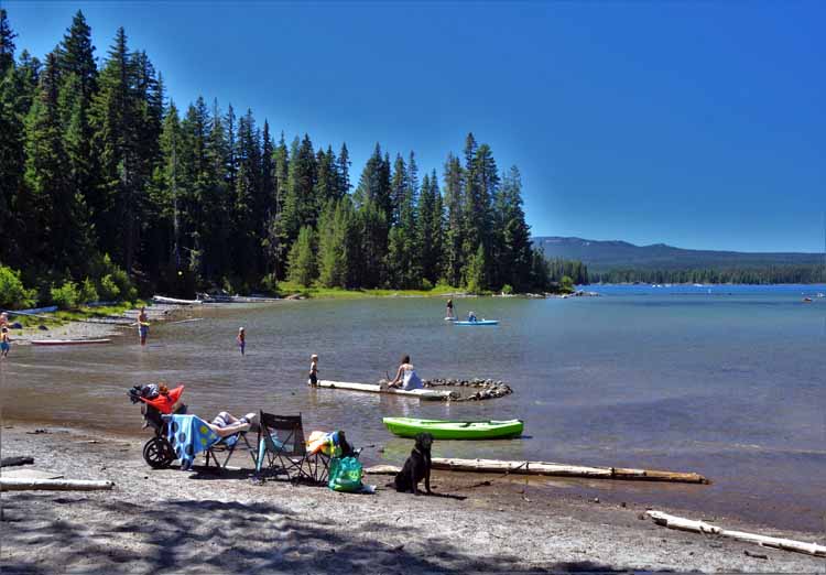
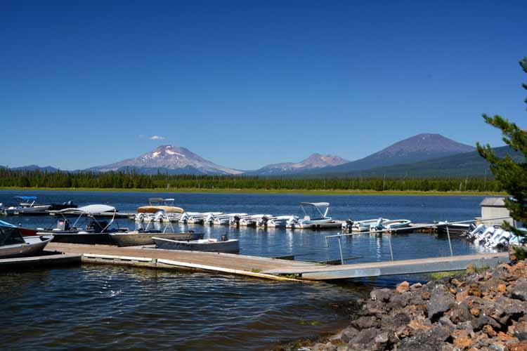
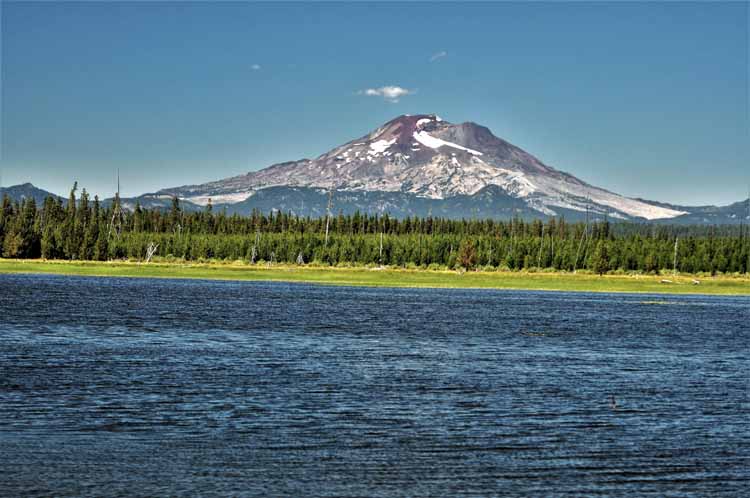
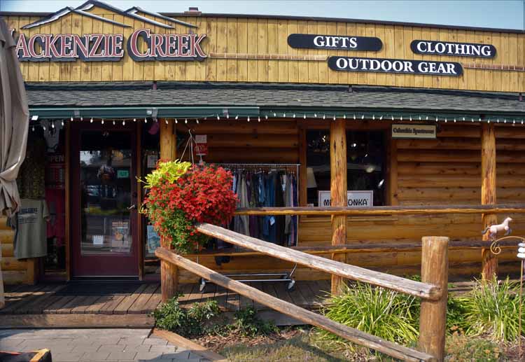
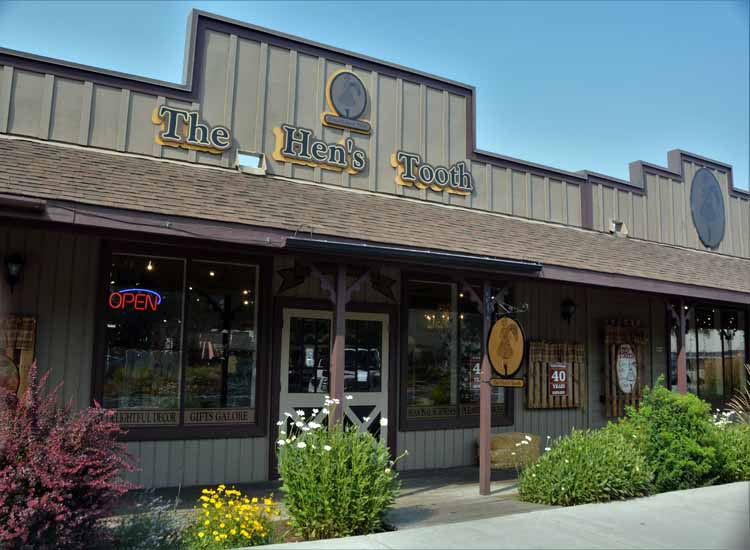
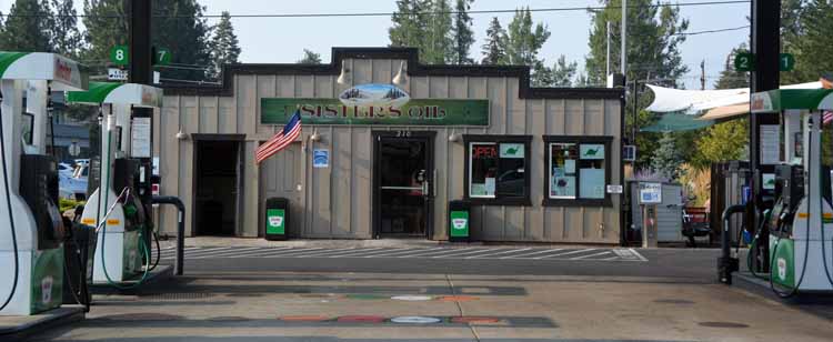
Sister, Bend, Redmond, here lies the heart of central Oregon. Bend is the largest city in the area, and is, geographically in the very center of the state. Sisters is the most scenic. One can travel in any direction from any one of these towns and find breath-taking scenery.

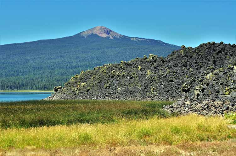
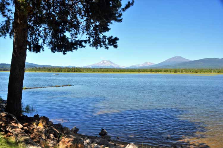
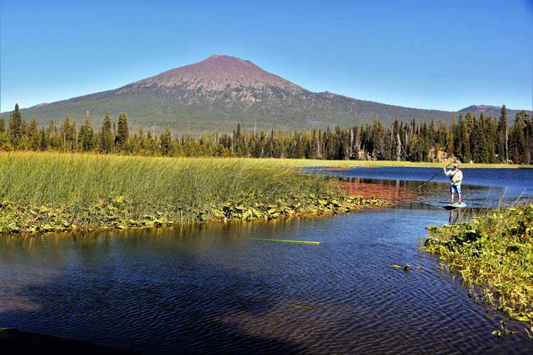
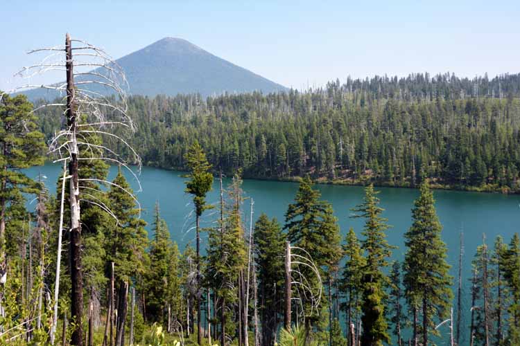
At the center are the well-known mountain peaks that draw in visitors from all over the world: the Three Sisters (North, South and Middle), Bachelor, Broken Top ...they're all right here, each rising more than 10,000 feet above the towns. Though they may appear to be grouped as one unit, each has its own geological and volcanic history.

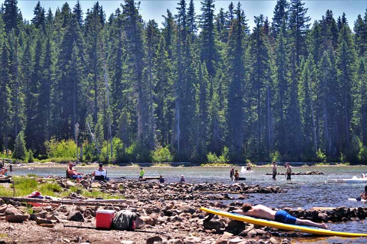
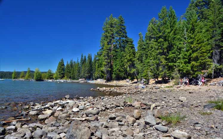
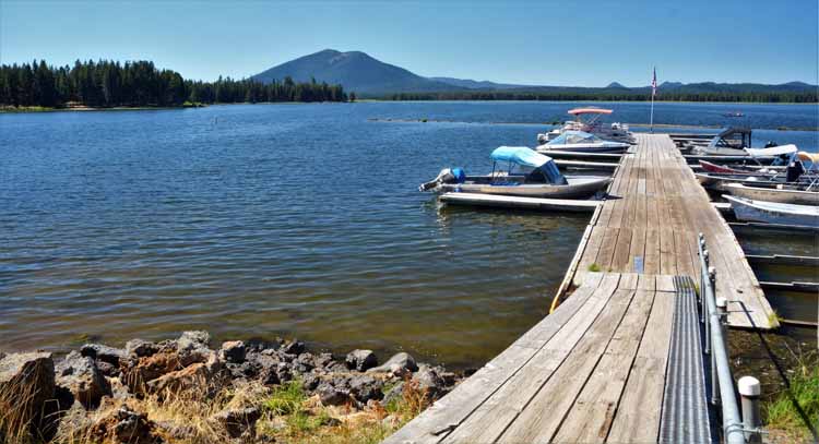
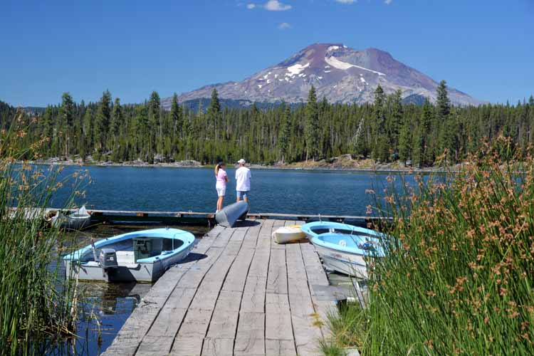
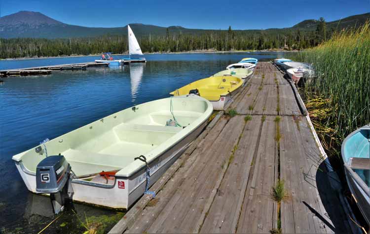
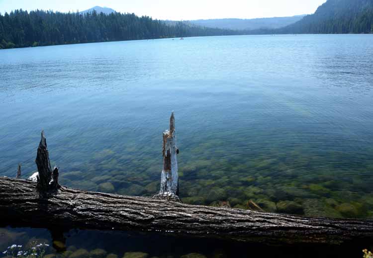
Two fabulous scenic drives in this area are the Cascade Lakes Scenic Byway out of Bend and the McKenzie-Santiam Scenic Byway out of Sisters. Most of the pictures on this page were taken along those two very memorable drives.

three mountains
Because of wildfires that seemed to be everywhere this particular summer, it wasn't every day that I would get to see the mountains for which the town of Sisters was named even this clearly. As the day wore on, they would become less visible.
sisters mountains
sisters mountains
deer in pasture
sisters mountains
chimpmunk
dead tree limbs
On my first day in the area I took off for the Cascade Lakes Scenic Byway. There are several starting points for this loop, and I chose to head south out of Bend along the Forest Road 46. It is an approximate 66-mile loop that travels south and west. It is appropriately named for the dozen or more lakes along the route, most with campgrounds or a resort. Many have both. It's also in the region of massive volcanic lava flows, so it's not unusual to take a curve and find yourself facing a high mound of black hardened rock.
Lava-filled campground
Lava Flow Campground on Davis Lake was built on the edge of a 70-foot wall of lava rock that flows right to the lake's edge.
lava flow and lake
lava flow
lava flow
lake scene
lake scene
Little Cultus Lake
lake and kayak
Cultus Lake
lake scene
Cultus Lake, quiet and serene
creek
Farm Road 40 heads to the Crane River Reservoir, and on the way I passed this gently flowing creek.
lake and mountains
Crane Prairie Reservoir with a backdrop of South Sister, Broken Top and Bachelor
mountain scene
lake scene
Crane Prairie Reservoir is named for the cranes that live in the area. The land was largely prairie before the construction of the dam in 1922 on the Deschutes River.
lake scene
lake scene
The calm water of Lava Lake and the stunning backdrop create an atmosphere of relaxation and tranquility.
lake scene with canoes
lake and paddle boarder
Hosmer Lake with Mt. Bachelor looming in the background
lake scene
The last lake I visited on this marvelous Cascade Lakes loop was Devil's Lake. Lots of people were enjoying its stunnning alpine green water.
green water lake
lake scene
mt. washington
Mount Washington as seen from the McKenzie Pass summit. This easily identifiable volcanic mountain rises right under 8,000 feet out of the Mt. Washington Wilderness area . Its last eruption was only 1300 years ago.

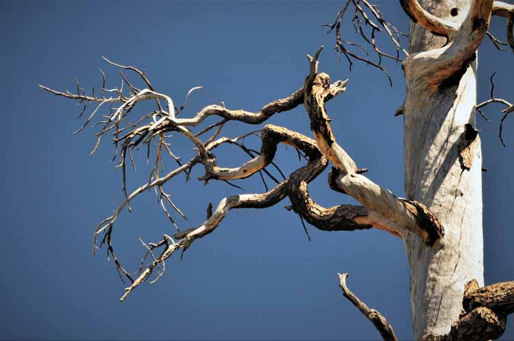
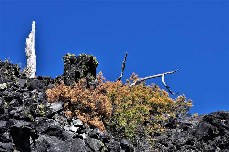
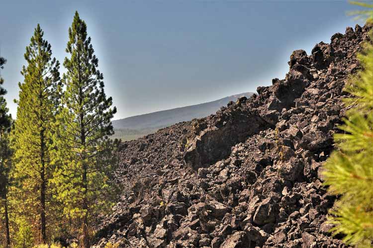
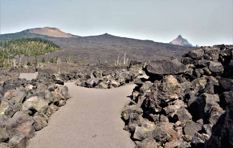
The McKenzie-Santiam Pass Scenic Byway is as diverse as any route one can imagine. Starting the 88-mile loop from Sisters, one can travel clockwise or counter-clockwise. I chose a clockwise route which had me leaving Sisters on the Highway 242. The narrow two-lane road, no more than 10-feet wide, curves and twists through the devestated Deschutes National Forest.

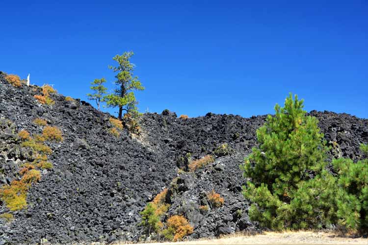
The August 2003 lightning fire, known as the B&B Complex Fire, scorched more than 90,000 acres - 46 square miles - of the forest, leaving a path still evident today. After several miles, the burned forest makes way to a massive lava flow that continues on to the summit of McKenzie Pass, elevation 5300 feet.

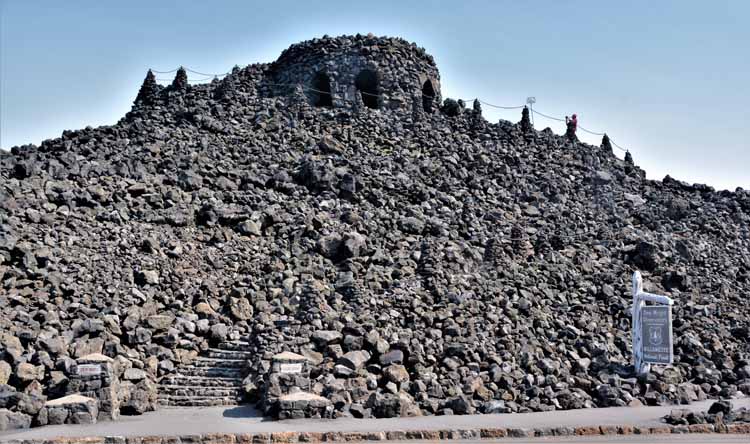
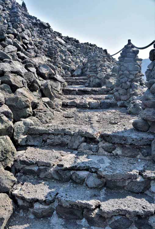
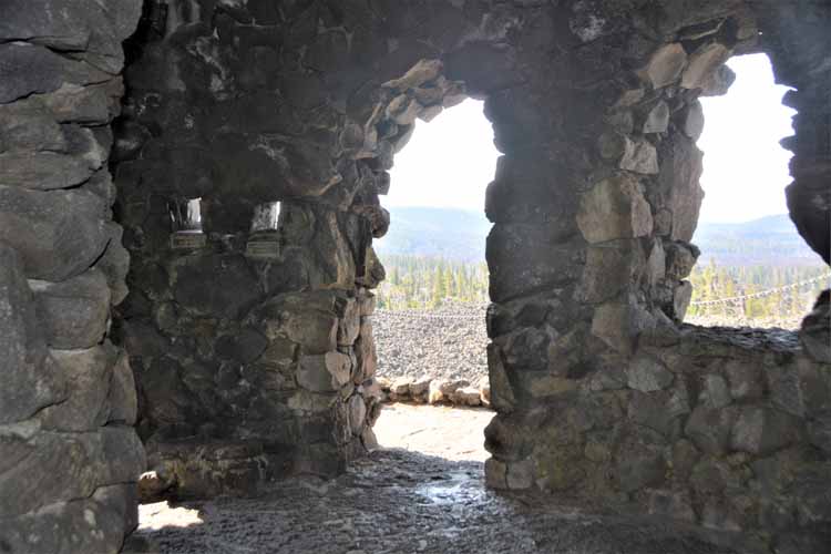
Here stands the Dee Wright Observatory, a structure made completely of lava rock in 1935 by the Civilian Conservation Corps (CCC) and named after the crew's foreman. Climb the structure to the top deck to get unobstructed views of Mt. Washington to the north and North Sister, Middle Sister and Little Brother to the south. A paved path through the lava beds surround the observatory.

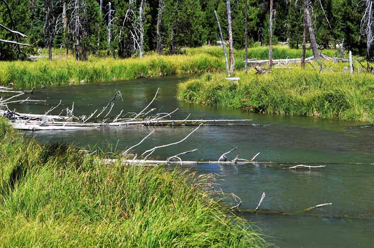
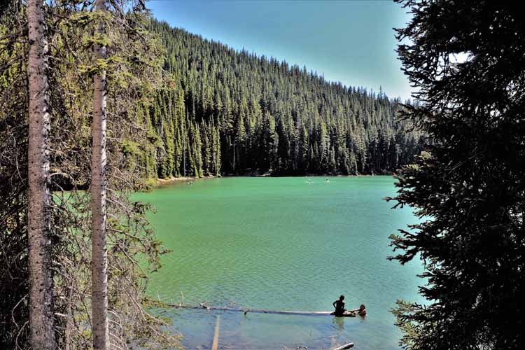
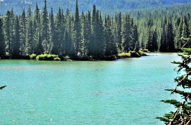
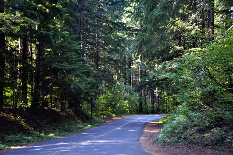
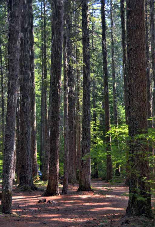
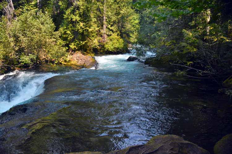
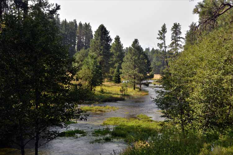
The lava flow eventually turns to yet a different landscape. At the junction of Highway 242 and Highway 126, the road turns north, enters the Willamette National Forest and follows the McKenzie River. The now heavily forested landscape lines the winding steep curves and hairpin turns with speeds no more than 15, 20 and 30-mph.

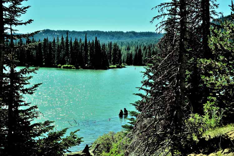
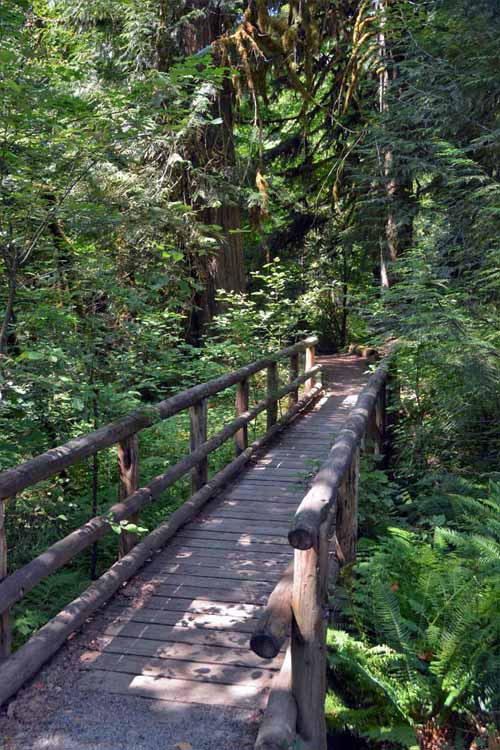
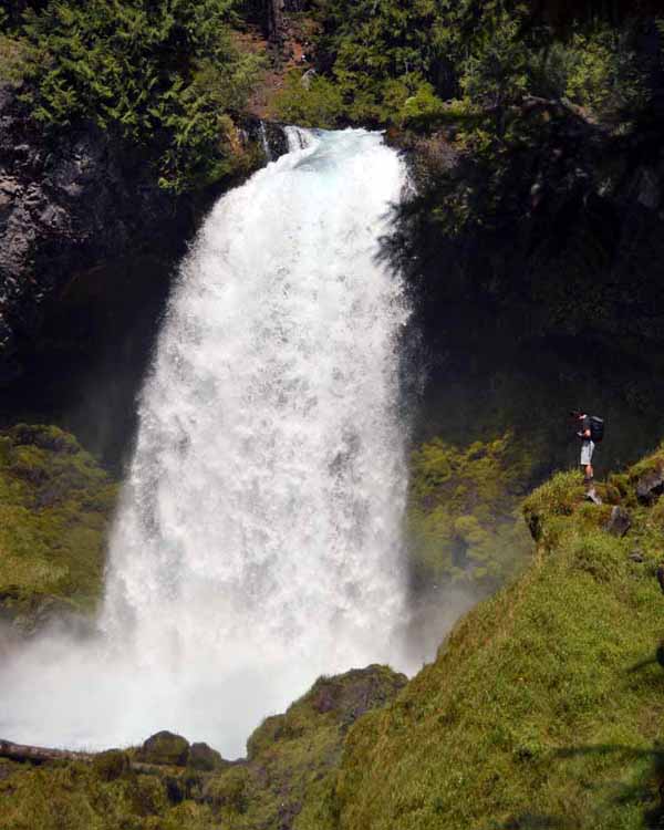
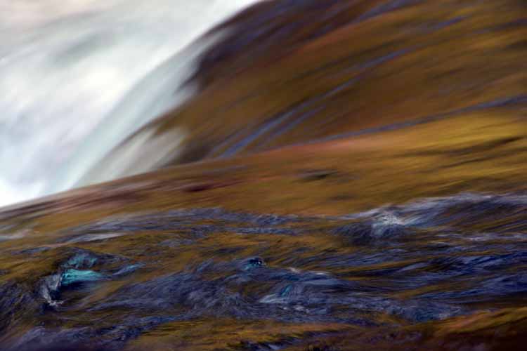
Views of the McKenzie River can be had along this route, along with a few waterfalls. Two I visited were the Koosha and Sahalie Both are single-tiered falls cascading over natural lava dams. I parked at the Sahalie Falls parking lot, walked the very, very short distance to the falls, then walked a
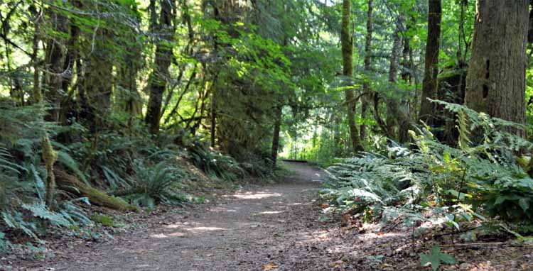
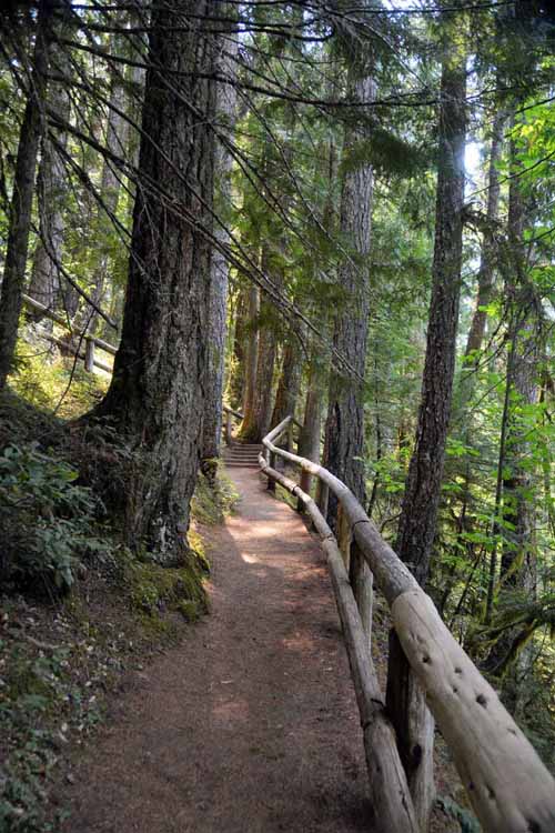
quarter mile along the forested path to Koosah Falls. It's an easy walk with viewpoints along the way. Pockets of cool air from the river keeps visitors' temps to a comfortable degree even on the hottest of days.

The last leg of the route is the Highway 20/126 which leads back to Sisters. The highway here is much wider and has straightened out. It's a bit non-descript, but several lakes and sno-parks are accesible
before going over the 4,800-foot Santiam Pass. The Santiam Pass had its own wildfire to contend with in August of 2017. Scorched trees still standing tall cast a black and white landscape up the hillsides.

mountains closeups
From the Dee Wright Observatory is this view to the south of North Sister, Middle Sister and Little Brother. It was obvious this day that the smoke from surrounding wildfires was still very much present. Good, clean pictures with blue skies were not to be had.
walking paths through lava flow
lava formation observatory
stairs to observatory
lava paths
forested road
insie the observatory
Still on the Highway 242, the lava flow gives way to pine forests as we enter the Three Sisters Wilderness.
forest
forest
Turning north onto the Highway 126, there comes a viewpoint for the McKenzie River.
river scene
river artsy  photo
river scene
waterfall spray
waterfall
slo-mo waterfall
Sahalie Falls cascades 100 feet over lava rock on the McKenzie River.
river scene
slo-mo waterfall
waterfall
Koosah Falls drops 70 feet. It's a great walk between the two waterfalls along the McKenzie River. Other trails exist as well.
waterfall
waterfall
forested trail
river scene
slo-mo waterfall
slo-mo waterfall
hiking trail
lake scene
After crossing the Santiam Pass heading east, the crystal blue waters of Clear Lake come into view. Clear Lake is the headwater of the McKenzie River.
lake scene
river scene
Camp Sherman General Store

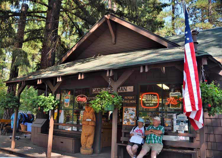
Camp Sherman is a community of summer homes and resorts. Only a few hundred residents live there year round, but by summer's end, campgrounds and cabins are filled to capacity. It's a quiet and off the beaten path hideaway with a general store and post office.

Here is the Metolius River at its headwater at Camp Sherman. The river's course takes it 29 miles northward to Lake Billy Chinook. Signs at Camp Sherman point to an easy, less than quarter-mile stroll to view the headwater, pictured here.
sisters shop
sisters shop
Sisters is a town of some 2000 residents and is a year-round hub for both summer and winter activities. Its charming Old West feel welcomes tourists with abundant shops, galleries and eateries that line the main and side streets in town. Its backdrop, for which it gets its name, is some of the most well-known of the Cascade Mountain Range peaks, the Three Sisters. The Three Sisters also have Little Brother Mountain, the small, quiet one, and, of course, there's always a Bachelor in the family.
sisters shop
sisters shop
sisters gas station

To continue viewing A summer road trip photos, please follow the links below.

Next page: Leg 3 - Bend to Albuquerque

Previous page: Leg 3 - Oregon - Around Madras

A summer road trip home page

Main Menu