the wandering chick
Leg 2 - B.C. - Vancouver Island
...A summer road trip
Vancouver Island takes up a big portion of the British Columbia province. It sits to the west of mainland B.C., across the Strait of Georgia, in the Pacific Ocean.
Our trip involved traveling the east side of the island nearest the mainland. We entered at Comox, about half-way up the length and traveled north to the very tip to Port Hardy.
The farther north we got, the more remote and rugged it got, but there was always something to explore. Boredom was never a part of our agenda.
Some of our hightlights on this portion of our trip were Telegraph Cove, from where we took a whale watching trip; Alert Bay, a First Nation community; and the coastal towns of Port McNeill and Port Hardy. We would end our B.C. trip in Victoria.
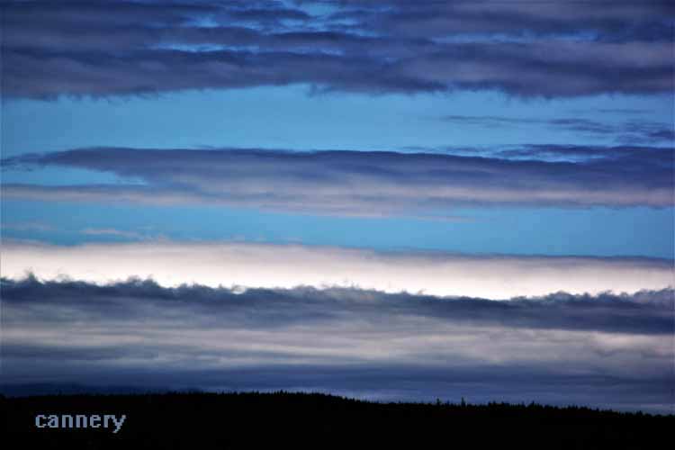
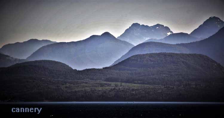
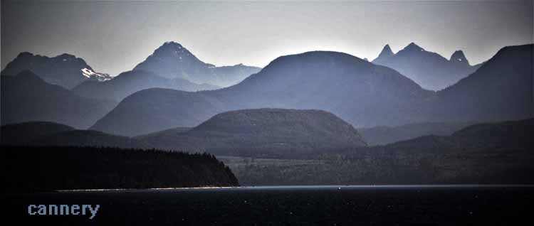
We left Powell River when much of the mainland people were still having their morning coffee and looked forward to the ferry ride that would take us to the island. The sun had not quite risen over the mountains.
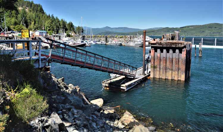
Farther north, we stopped at the community of Sayward on Kelsey Bay. It was a short side road off the Highway 19 that would get us there. We walked the government dock and visited the general store/gift shop. Sayward's population is around 400. It was first established in the 1890s when logging was its main industry, even as it is today. Fishing for trout and steelhead is still a popular past time.
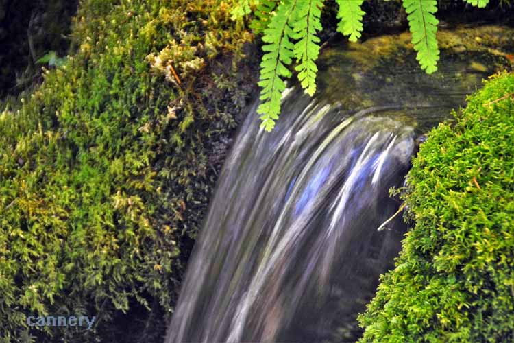
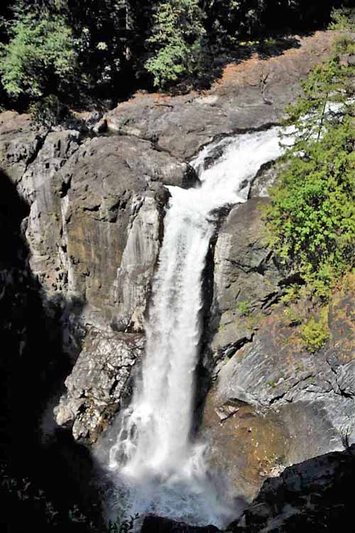
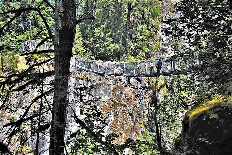
Our first stop headed north to Port Hardy was the Elk Creek Falls Provincial Park. Wonderful hiking trails abound, including a boardwalk path through towering trees, but the two main highlights are the waterfall and the suspension bridge. The waterfall cascades nearly 250 feet (75 meters) into the Elk Falls Canyon. The 210-ft (64-meter) long suspension bridge spans the canyon offering impressive views of the waterfall. From Campbell River, the park is located on Highway 28 just a few miles from the Highway 19 cutoff.
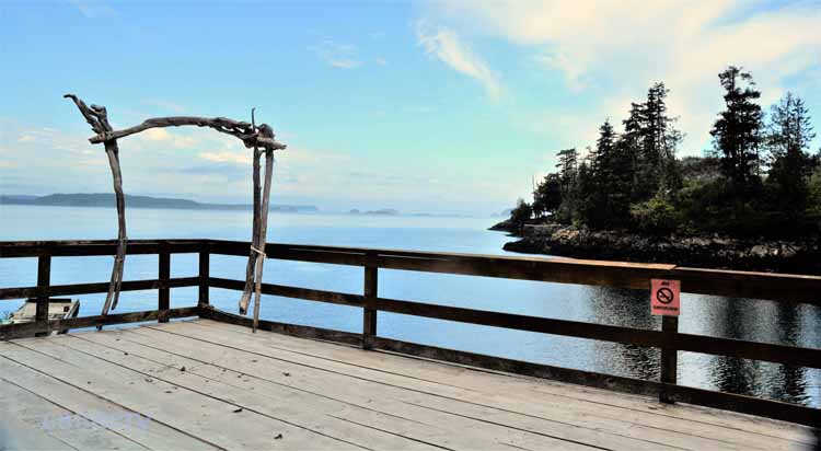
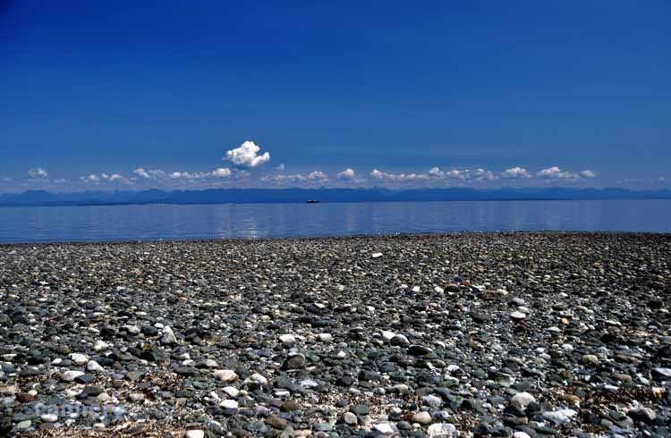
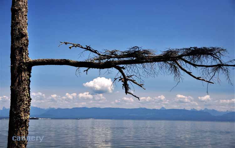
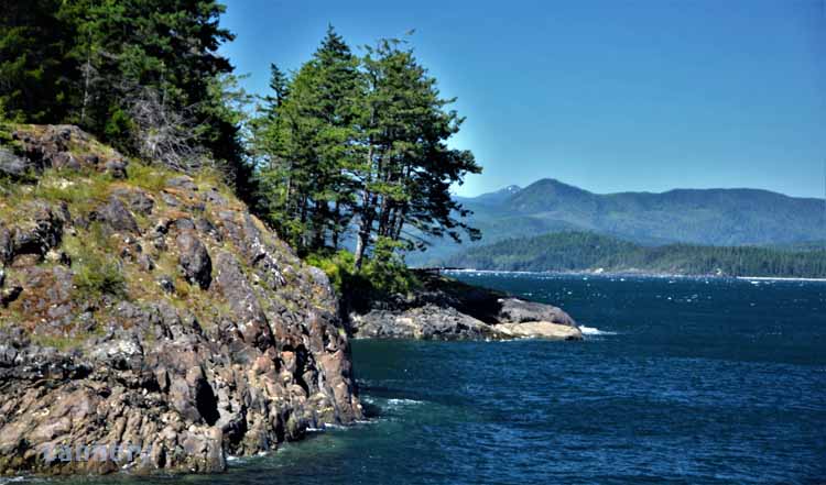
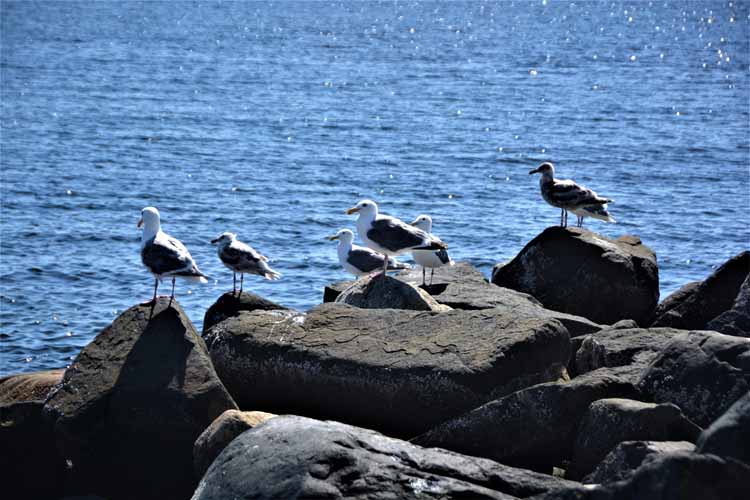
So many pullouts along the island's Highway 19a, the scenic route that hugs the coastline of the Georgia Strait, are available. Pick one, or pick them all, and take a nice short walk down to the water's edge.
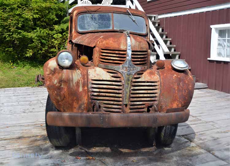
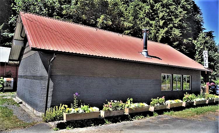
We had read and heard of the Cable House, a cafe in the vicinity of Sayward. Our plan was for lunch there, if not just a dessert. But when we drove up, the place looked not only closed, like for the day, but almost abandoned and deserted. We never did get our apple pie and coffee, nor did we find out the details on its closure. The place is unique because it is literally wrapped in 2" thick used logging cable, more than 8,000 feet of it. Weight? 26 tons. It's a favorite among the locals as well as tourists. Hopefully, because the food is good, not because it's the only place to eat out for miles around! I guess we three may never know.
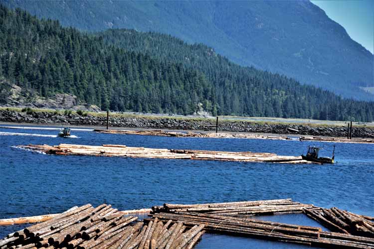
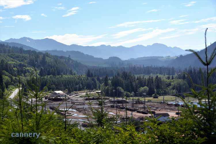
Beaver Cove Logging Mill may not be particularly pretty to look at , but its surroundings are gorgeous.
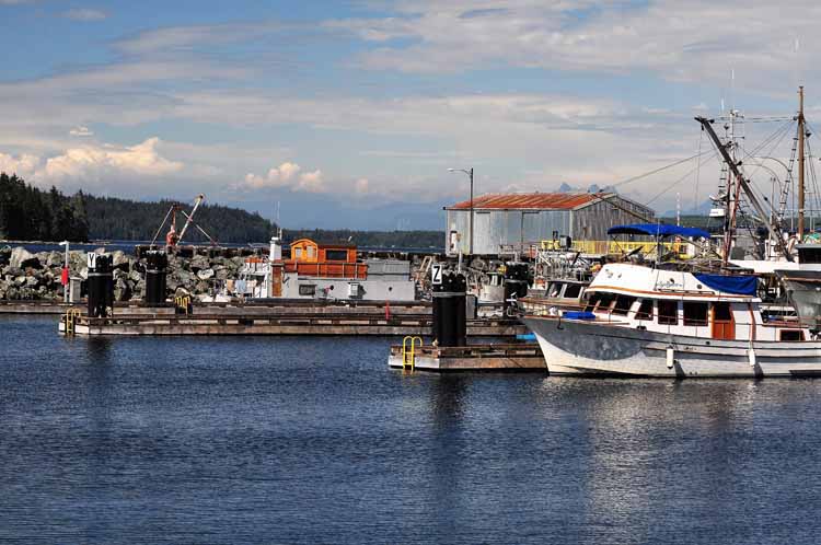
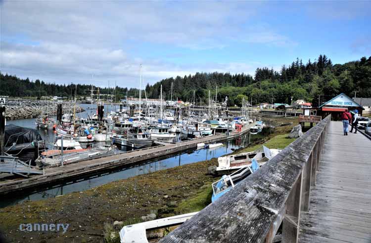
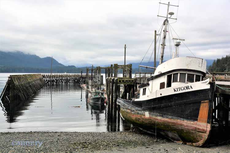
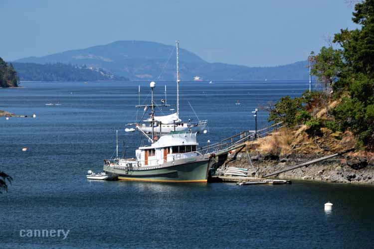
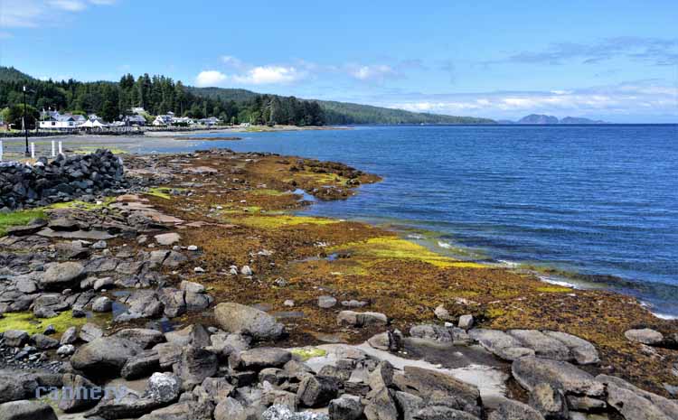
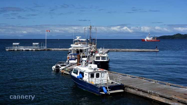
Not overly impressed with the "downtown" section of Port Hardy, we took to th shoreline and harbor. Again, it was the backdrop that made the scene. The Georgia Strait has opened up to what we see here, the Queen Charlotte Strait.
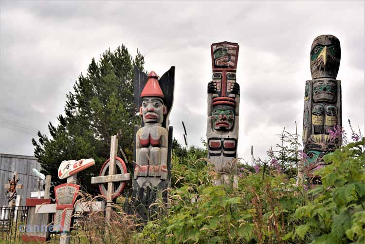
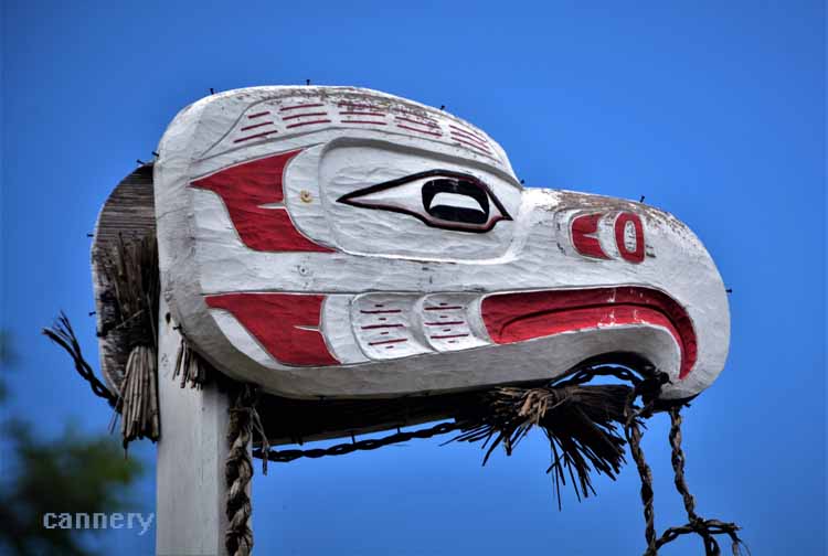
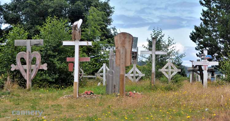
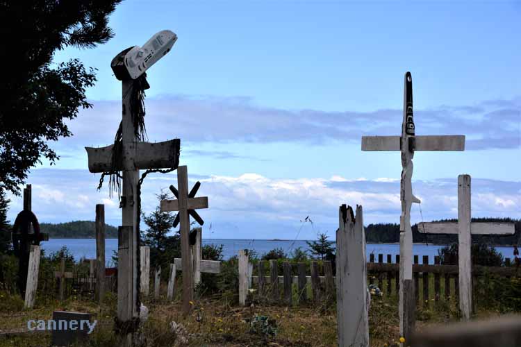
in Port Hardy, we visited Storey Beach and happened upon this First Nation cemetery. We respectfully got a few pictures from outside the fence. It was super interesting, but unlike American cemeteries where one is free to walk about, the natives consider their burial grounds extremely sacred.
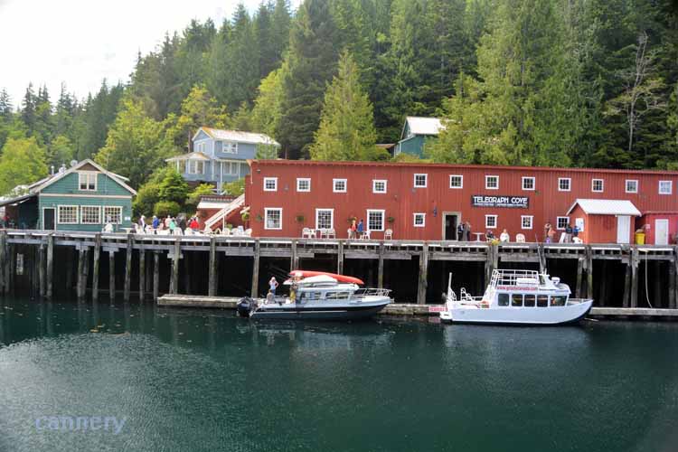
In 1912, a tiny cove located on the northeastern shore of Vancouver Island was chosen as the location of a telegraph lineman’s
station and the northern terminus for the telegraph line from Campbell River. It became known as Telegraph Cove.
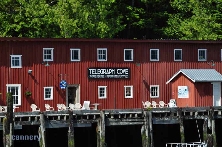
In later years, a sawmill
was started, one that would operate for more than 50 years and become a major supplier of lumber for both world wars. As the mill grew, its
workers built houses for themselves and a boardwalk to join them.
Such was the demand for lumber in those years, that, during both wars, the Royal Canadian Air Force took command of the mill, ncreasing
its work force and, therefore, supply. After the wars, the military returned the mill to its original owners who continued producing
custom-made lumber for boats and docks. By the 70s, however, the lumber supply decreased, and the mill closed.
In 1979, a couple by the names of Gordie and Marilyn Graham
purchased property there for the purpose of recreational fishing, eventually making Telegraph Cove what it is today. It started with a campground
a marina. The original old houses and the boardwalk were restored and used as tourist lodging. A whale-watching company, a restaurant and a grizzly
tour company have since opened in Telegraph Cove, bringing in more tourists than any other location in the area.
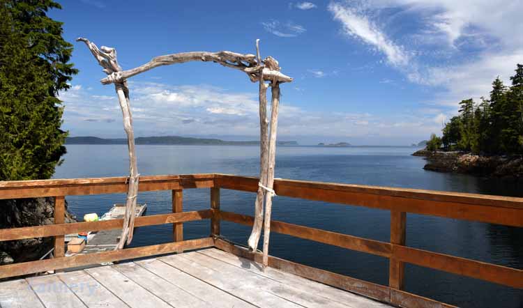
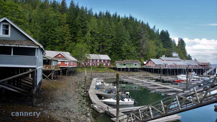
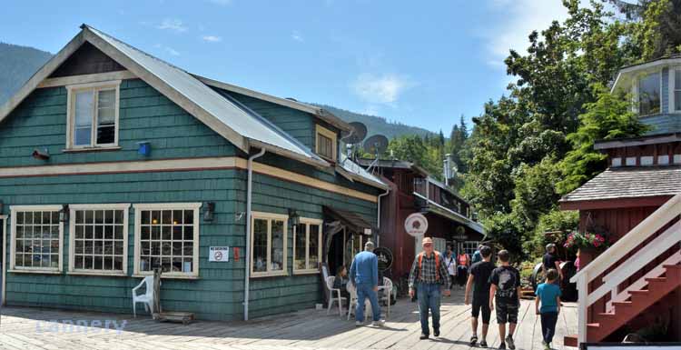
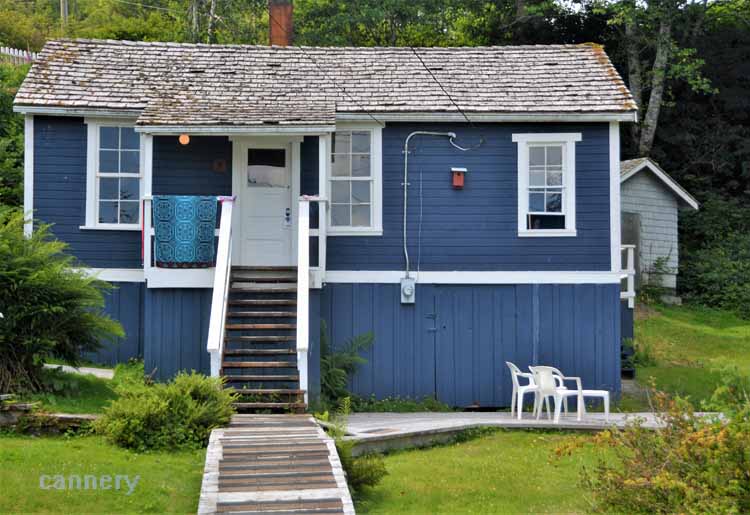
Telegraph Cove is a unique piece of
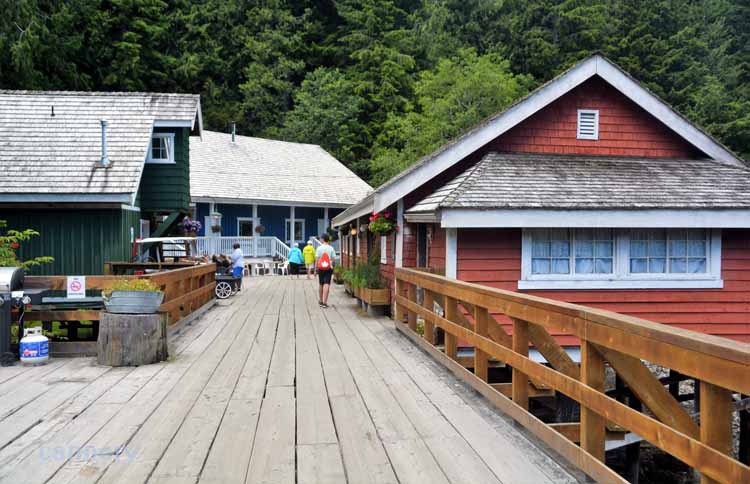
land in that it has no shoreline. For that reason, the houses that were built back during the saw mill days, were built on stilts and joined by a
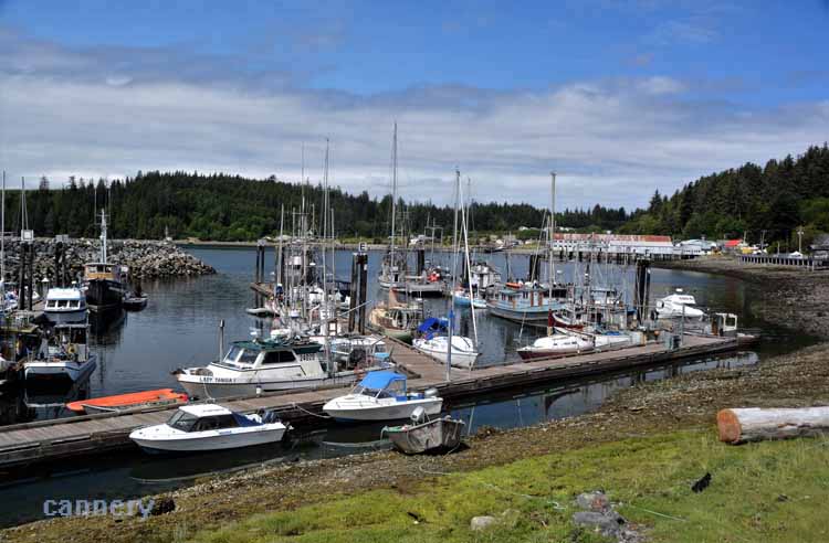
boardwalk, as they still are today. The marina, surrounded by the now colorful houses in the small cove, is as picturesque as anyone can imagine.
.JPG)
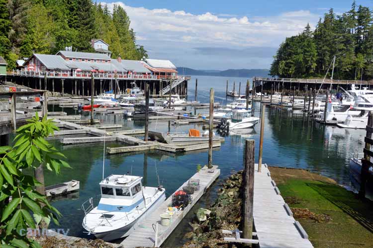
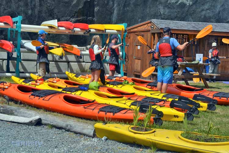
This snug little community of 20 residents is nestled deep inside the cove that opens onto the Johnstone Strait where go whale watching expeditions, kayakers and fishermen.
Beginning kayakers get a 101 before heading out to the waters.
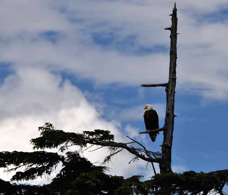
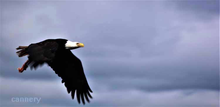
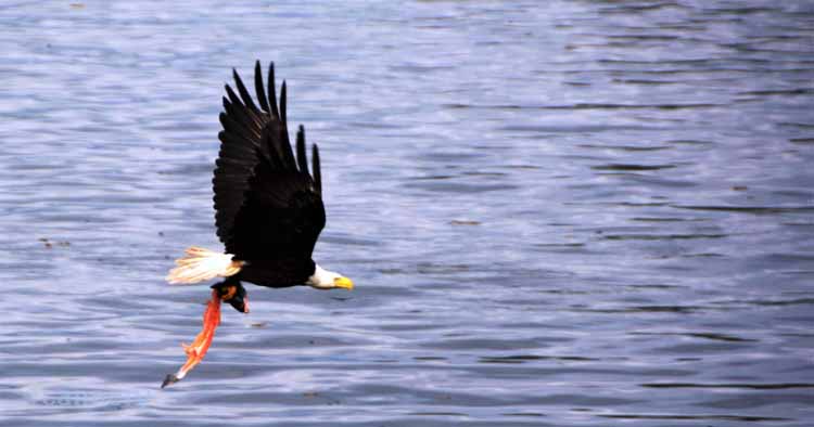
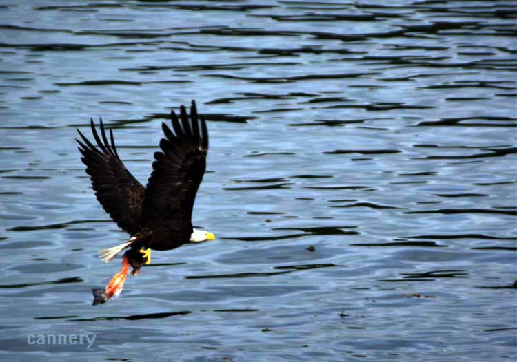
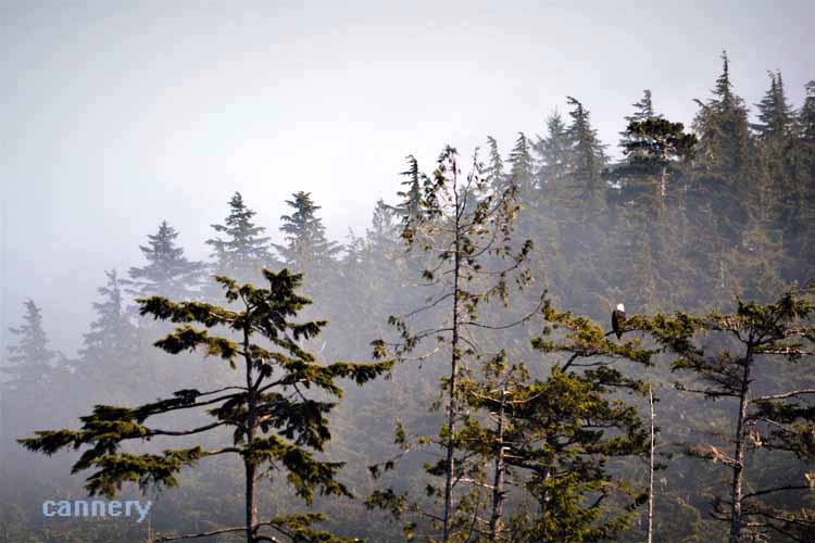
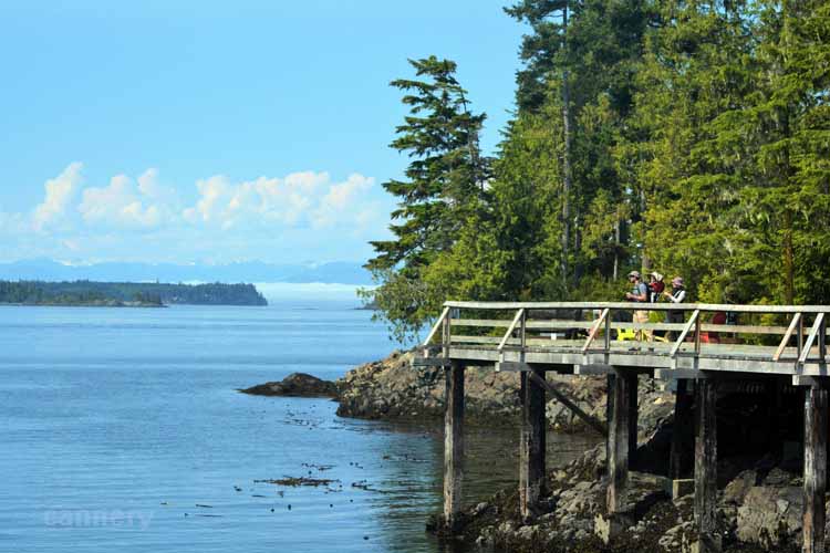
A short path on the opposite side of the inlet from the town led to this bald eagle resting in the tree overlooking Johnstone Strait.
Port McNeill was once a base camp for loggers. It became a settlement in 1936 and today has a population of around 2600 people. Logging is still its main
industry. Its location on Vancouver Island's northeast shore on Queen Charlotte Strait makes it a hub for ferry transport to the nearby villages of Alert Bay
on Cormorant Island and Sointula on Malcolm Island.
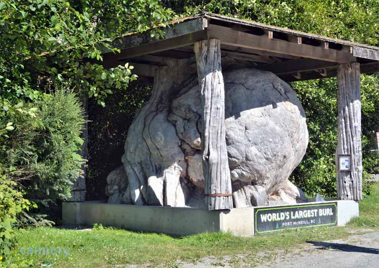
Port NcNeill boasts the ownership of the world's largest burl, taken from a Sitka Spruce tree.
Port Hardy is located on the north end of Vancouver Island, a town of a little more than 4000 residents
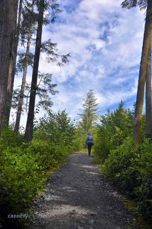
Its remote location makes it a hub for wilderness activities., especially hiking.
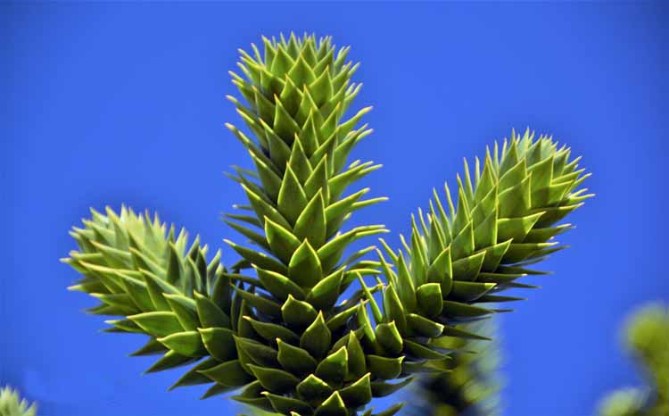
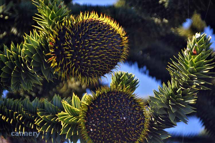
A monkey puzzle tree
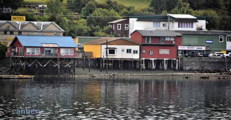
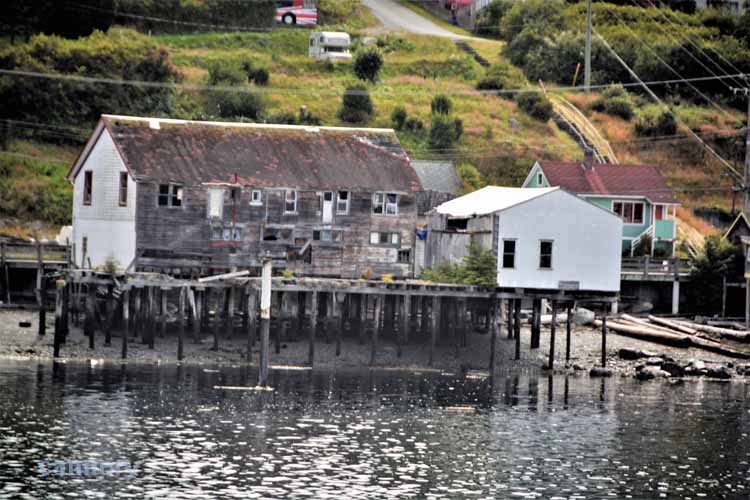
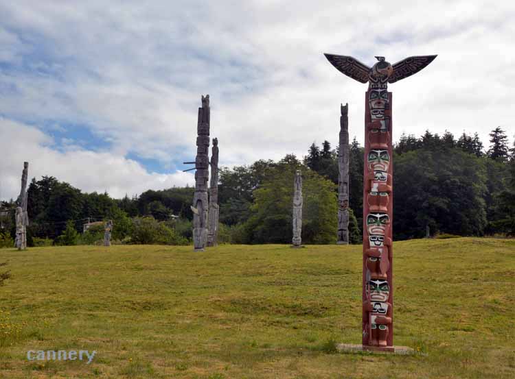
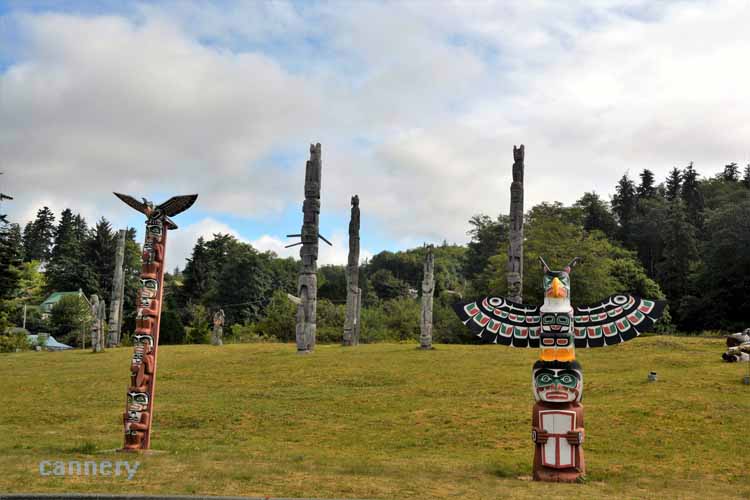
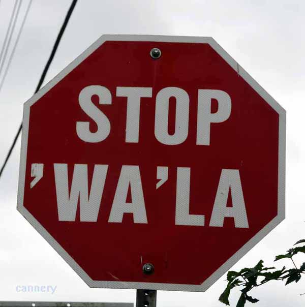
More than half of Alert Bay's 1200-1500 population are First Nation. Stilted houses of various colors might be the first thing one
notices as the ferry from Port McNeill approaches this picturesque seaside village said to be the oldest in the northern Vancouver region.
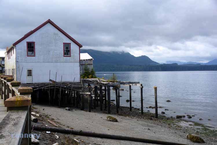
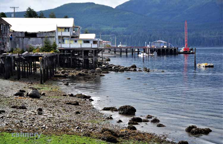
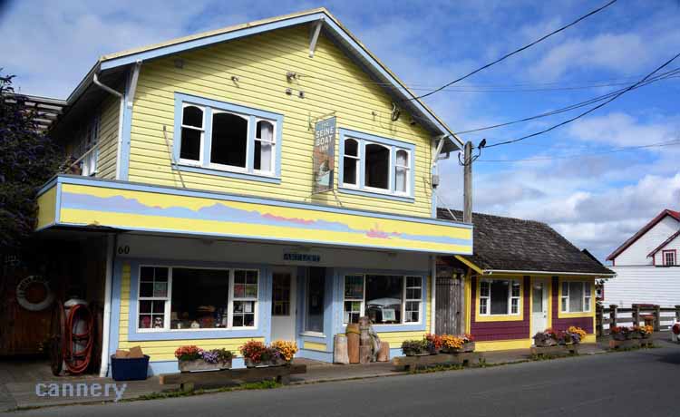
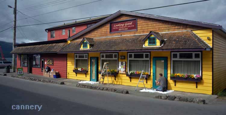
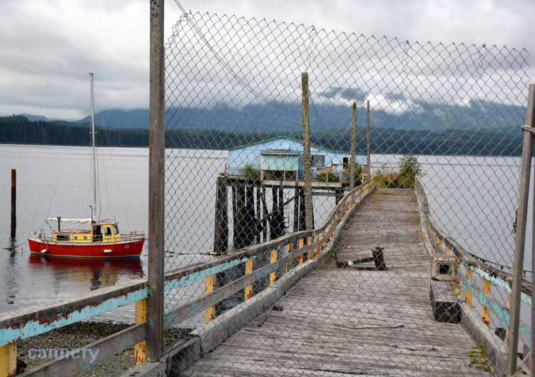
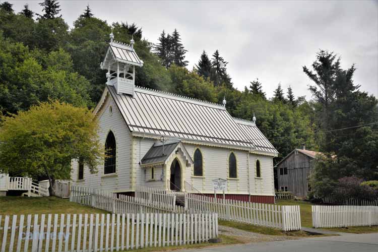
The main walking street parallels the water, and it's lined with shops and
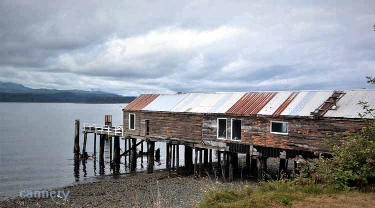
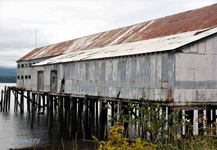
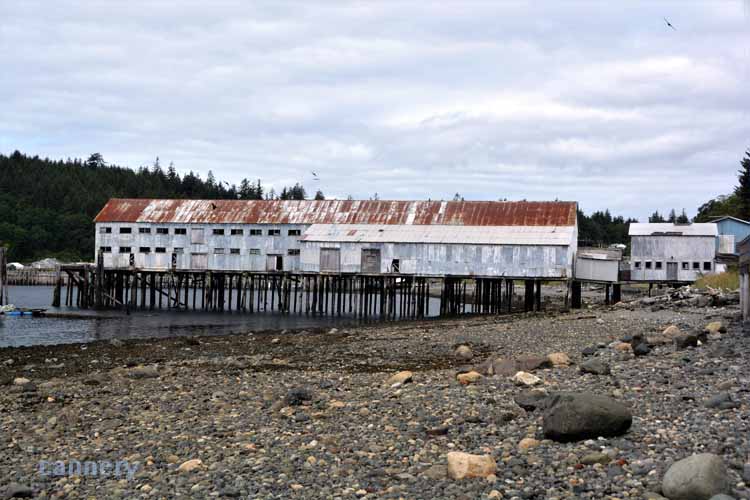
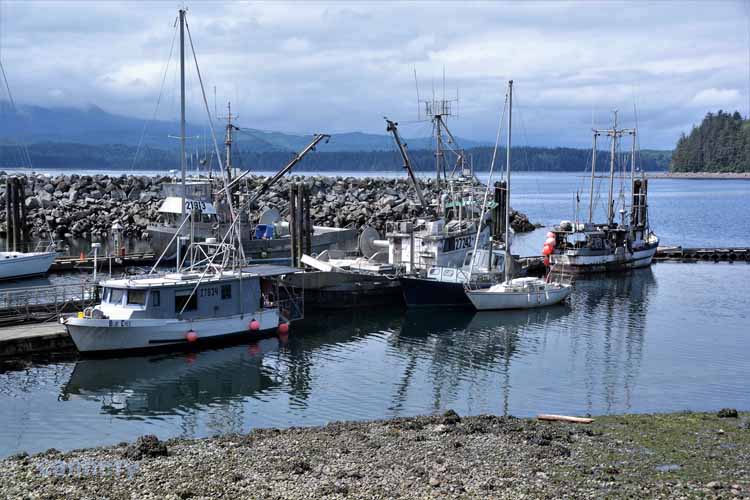
buildings, some in use, many not. Fishing boats fill the small-boat harbor protected by a stone breakwater, and a net shed that has long outlived its use is seen at one end of the island where also the village's main event, the U'mista Cultural Center is located.
Alert Bay is on the island of Cormorant, 45 minutes ferry time from Port McNeill.
The town cemetery
Taken from the afternoon ferry on the return trip to Port McNeill
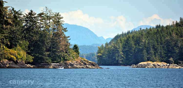
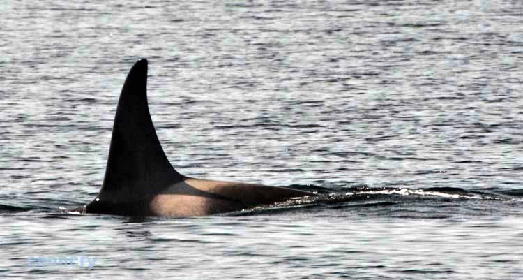
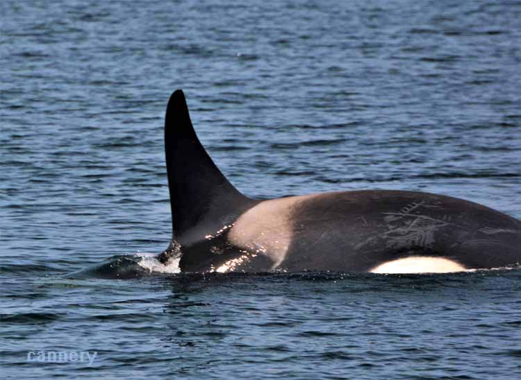
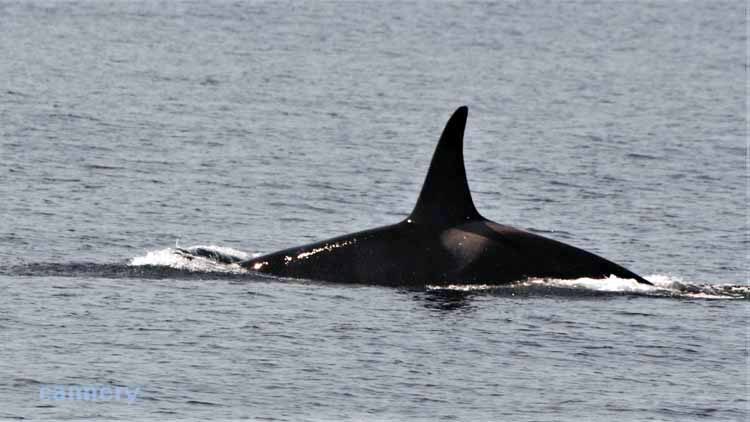
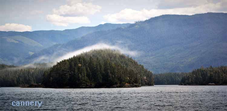
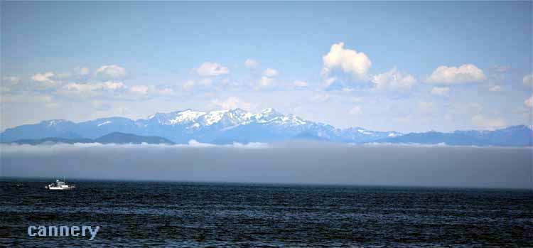
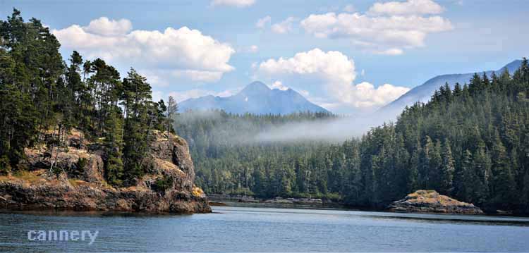
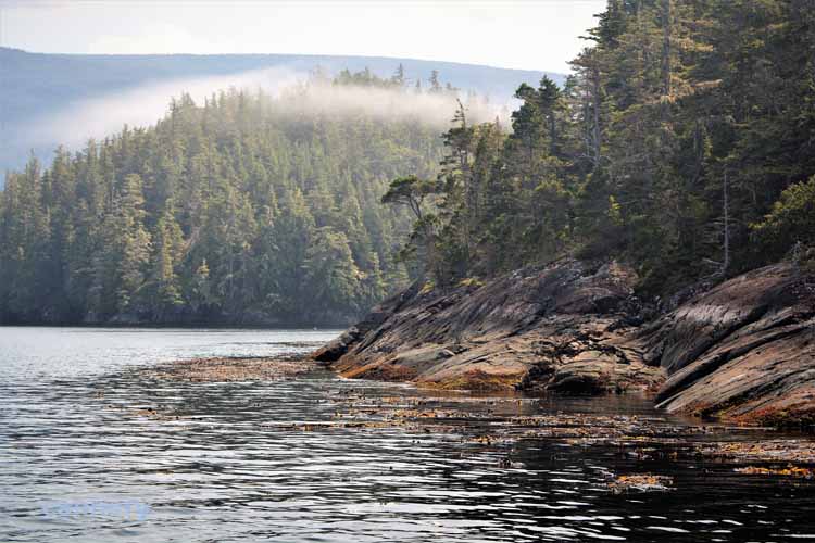
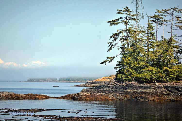
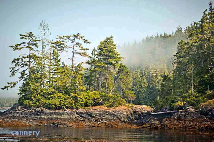
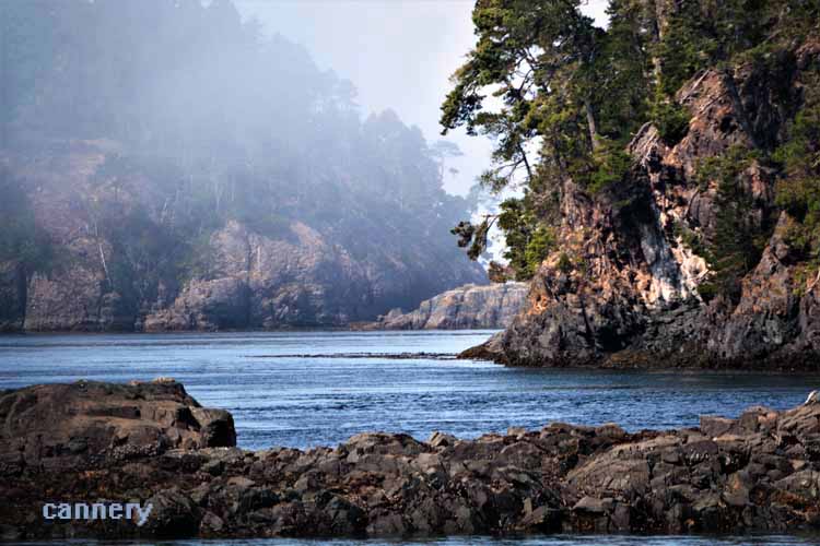
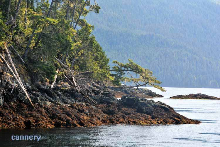
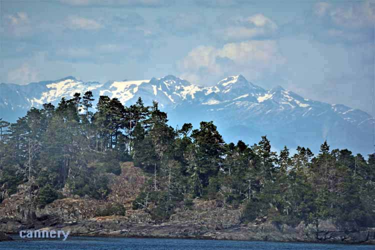
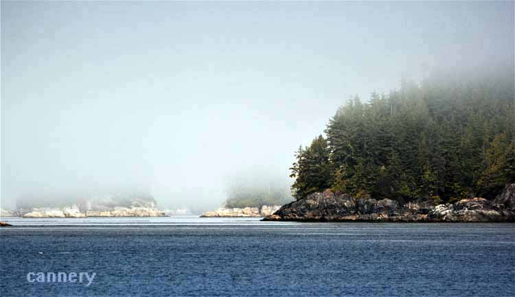
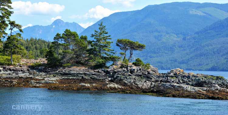
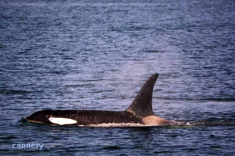
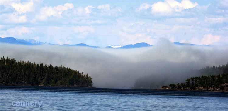
We took a whale-watching tour out of Telegraph Cove that took us on a 3-hour ride out into Johnstone Strait. We saw Orca and Humpbacks, but no breaching, no tail. We did see some of the most spectacular scenery, however, through a group of island and as the fog started to roll in. I think we got our money's worth just on that. But seeing some breaching would have been nice.
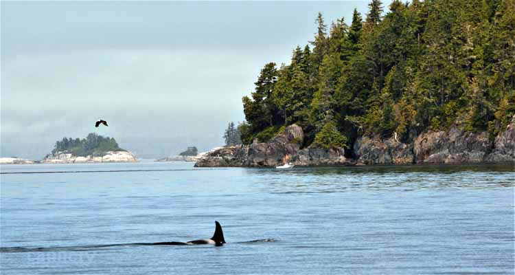
What luck to get a dorsal fin and an eagle in the same shot!
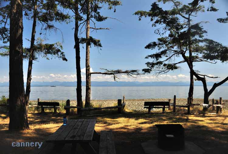
After our ferry ride up to Prince Rupert and spending several days there, we made our way back down the east coast of Vancouver Island, stopping at this Kitty Coleman Provincial Park off the 19a from Campbell River to have what would be our last picnic in British Columbia. We would continue to Victoria for the final days of a fabulous trip in the province.
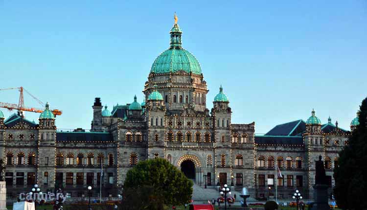
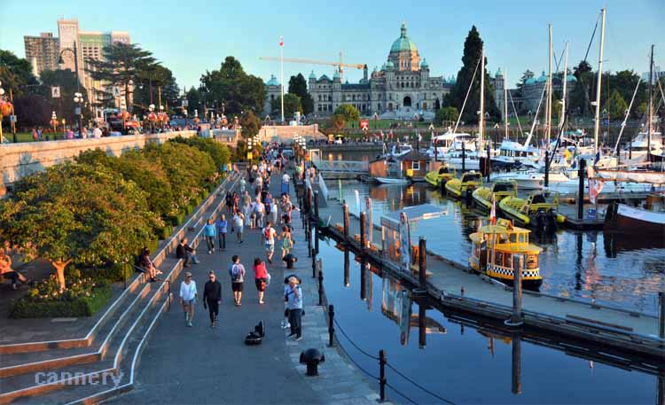
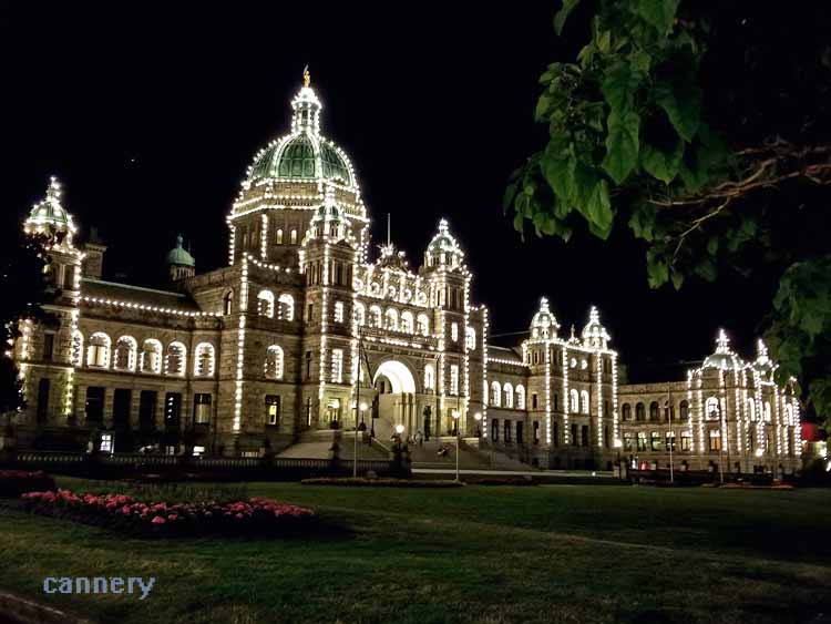
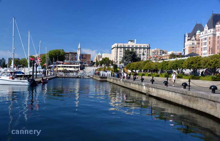
The grounds of Victoria's Parliament Building and her inner harbor are the hub of this charming and picturesque city.
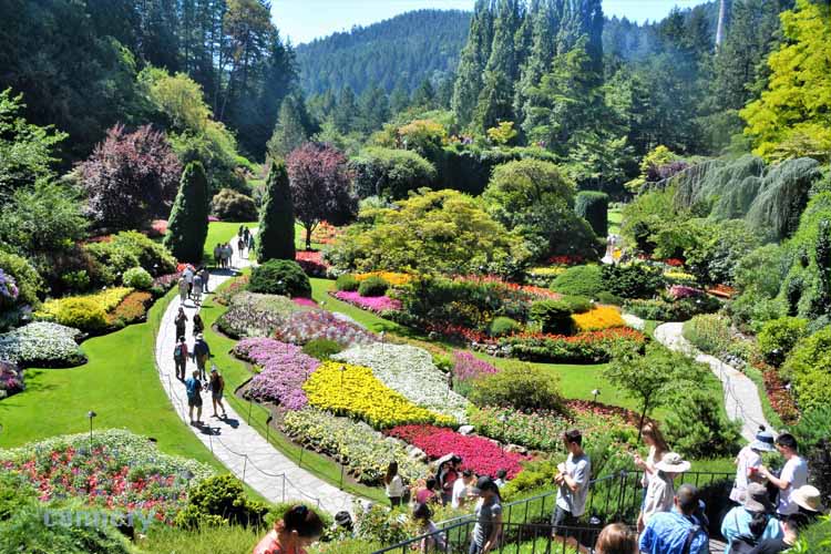
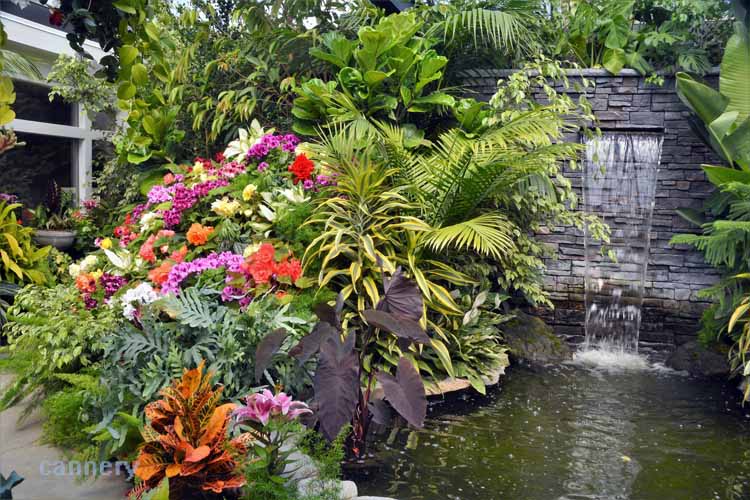
From a limestone quarry for making cement to one of the most visited and renowned collections of gardens in the world, Butchart Gardens is the work of Robert Butchart
and his wife Jennie. They lived from the mid-1850s until Robert died in 1943 and Jennie in 1950.
It all started in 1904 when they built their home near the quarry outside of Victoria on Vancouver Island. Jennie Buchart commissioned for a Japanese garden to be built
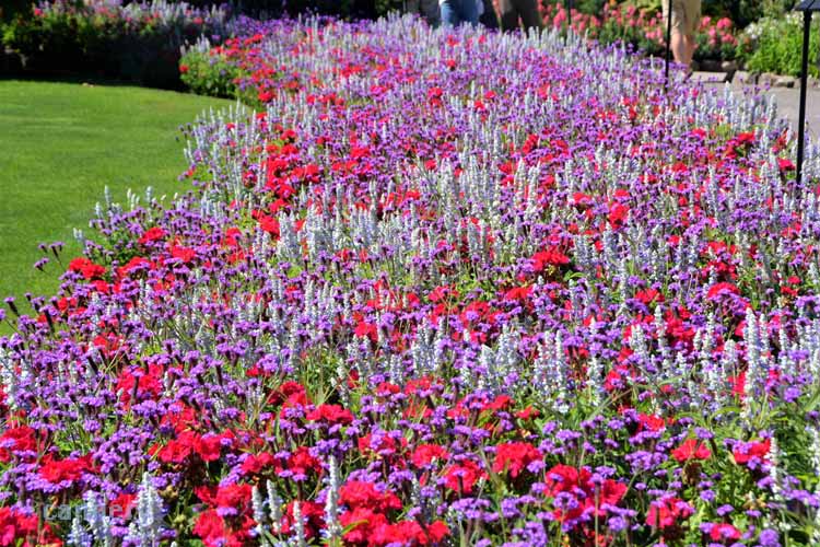
on the grounds. It was completed around 1907. In 1909 when the limestone was exhausted, Jennie began the project of replacing the quarry with a sunken garden.
In 1921 the garden was completed, and Jennie started receiving visitors to enjoy it.
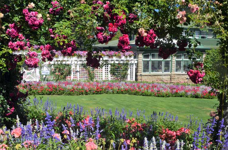
As the years progressed, so did the gardens, as they began turning
outdoor portions of their home into more gardens. Their tennis court became an Italian garden, and their vegetable garden was transposed into a rose garden.
As Robert and Butchart aged, the gardens were given, in 1939, to their grandson Ian Ross. He spent his adult life operating and promoting the gardens until his
death at age 79. Today, it is still owned by the Buchart family and receives more than a million visitors yearly. In 2004, when the gardens marked its 100th
anniversary, they were designated a National Historic Site.
The original spot of the limestone quarry
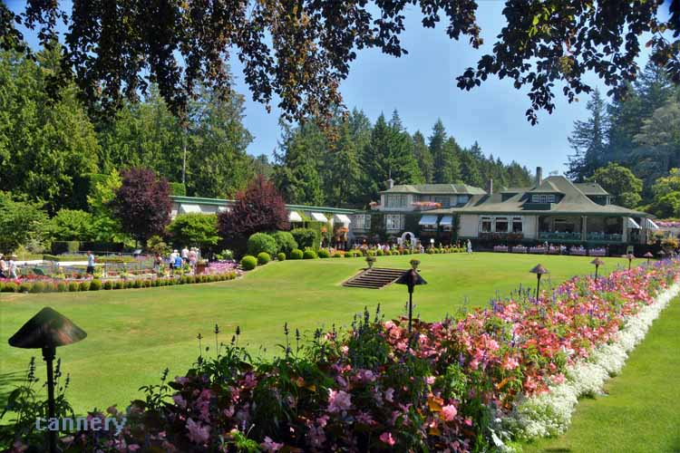
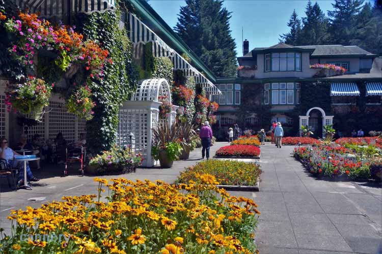
Part of the original home and tennis court is now an Italian garden and ice cream parlor with outdoor seating.
This is Tod Inlet on Brentwood Bay where the Butcharts had their own private cove. Today it is part of Gowlland Tod Provincial Park. Buried beneath the grounds of the inlet is evidence of Sikh and Chinese workers who lived and worked there during the Butchart cement production.
.JPG)
.JPG)
.JPG)