the wandering chick
...Rockport/Camden/Rockland
and around
Rockport, Rockland and Camden...back to the towns of tourism. But as I say, tourists flock to an area for good reason. If it wasn't so darn picturesque, they wouldn't be there.
So, I joined the crowds. Didn't do too much of the downtown sections, but enjoyed the harbors and backstreets and, of course, the lighthouses.
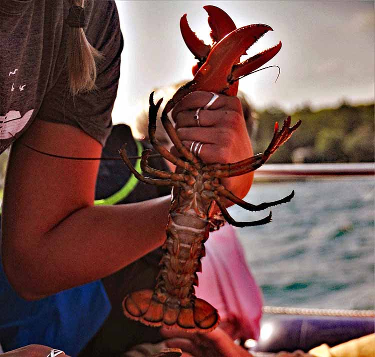
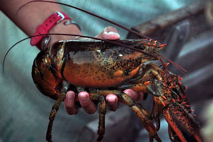
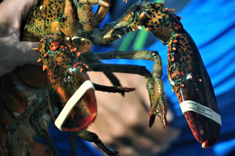
Took a lobster and lighthouse cruise. Saw a couple of lighthouses that can't be seen except by boat. Got up and close with a couple of lobsters, too, before they were thrown back into the bay.
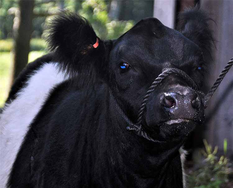
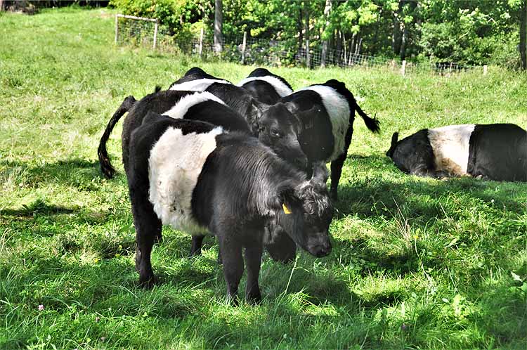
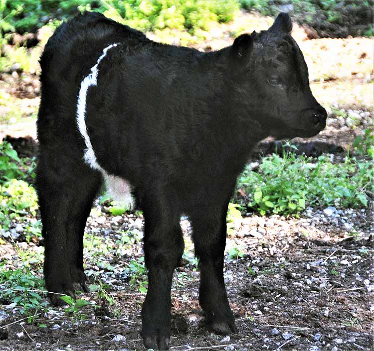
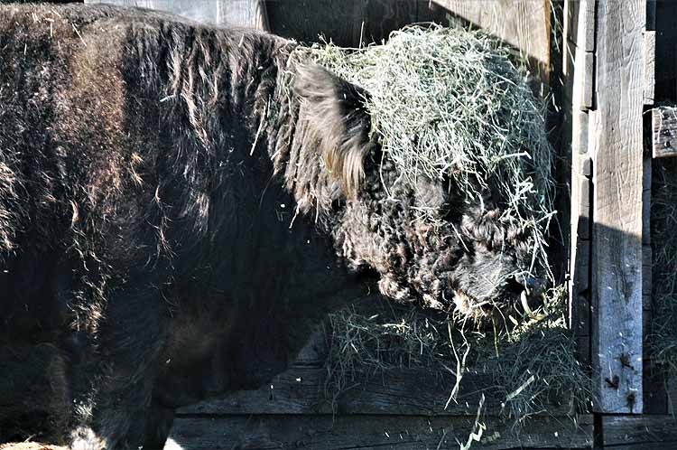
And, I saw banded cows for the first time even though they're said to be in every state except Alaska and Hawaii.
Belfast, well. I went looking for seaglass on the beach there, as it was listed as one of the top places for finding "handfuls within an hour." Not a single piece to be found, so when I happened upon a travel info booth in town I asked if I had been at the right place for finding sea glass. I was told there is no place in Belfast that's any better than anywhere else along the coast.
Was looking for a place to get something to eat when a big thunderstorm came through, for which I was not prepared in the least. Soaked through and through, I headed to the car and called it a day. But I digress.
Belfast is a pretty and historical harbor town. Its Rail to Trail at one end of the Harbor Walk offers some interesting facts of yesteryear.
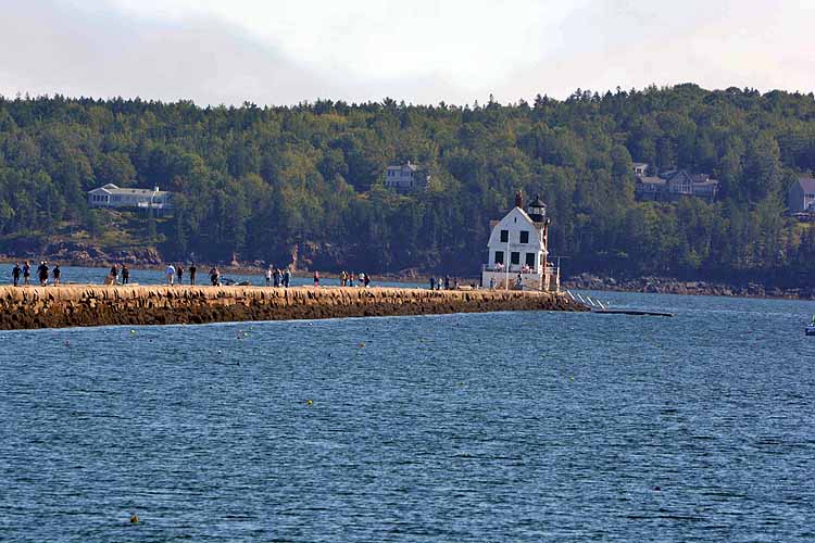
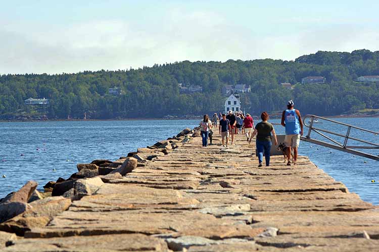
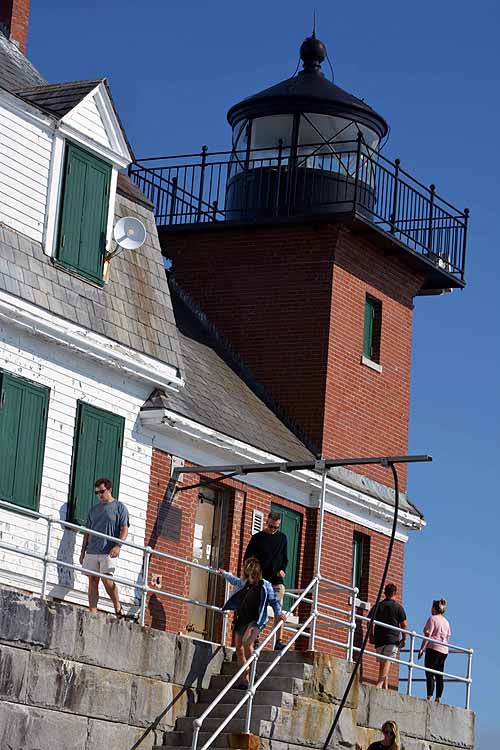
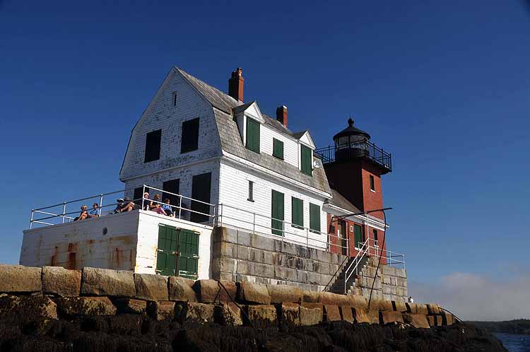
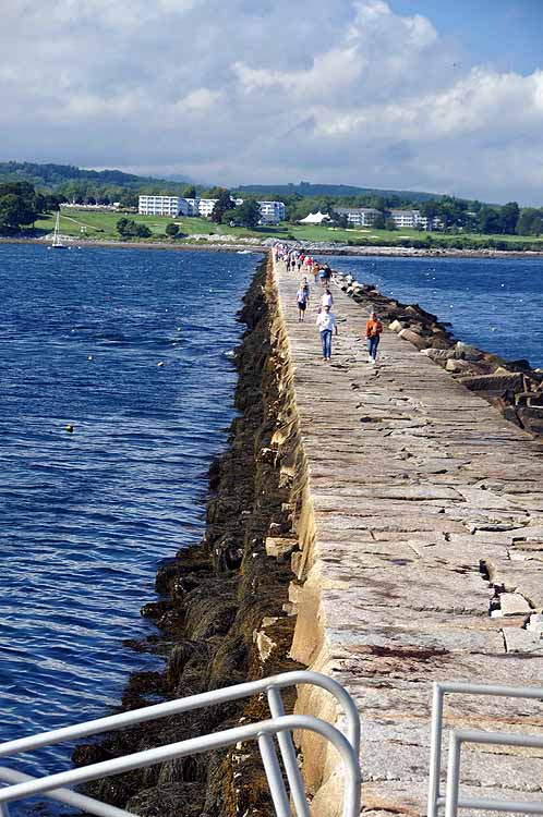
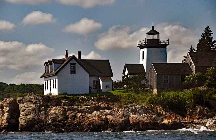
The highlight for me in this area was the Breakwater Light in Rockland. Now that was really cool.
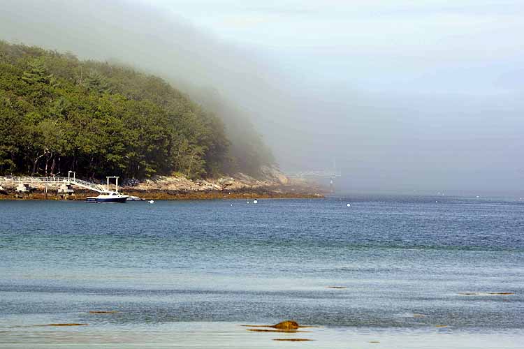
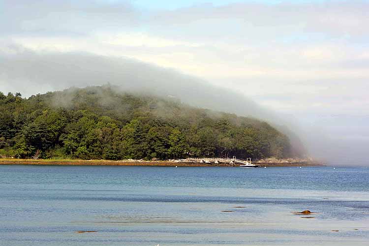
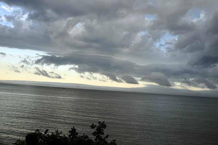
Late afternoon and the fog rolls in over Penabscot Bay.
It's a really cool walk out to the Rockland Breakwater Light in as you easily stroll over huge slabs of flattened rock. Don't step on a crack! Rockland Breakwater Light and the keeper's house are at the end of the 7/8-mile strip that protects Rockland harbor. The lighthouse was constructed in 1902 and is actively maintained by the U.S. Coast Guard.
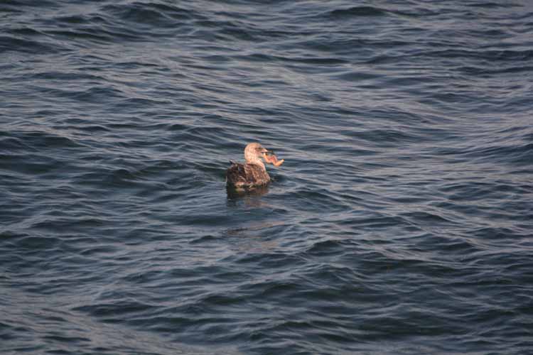
I watched this gull for a couple of minutes struggle with fitting a starfish in its mouth. He kept dropping it, but finally managed to get it down.
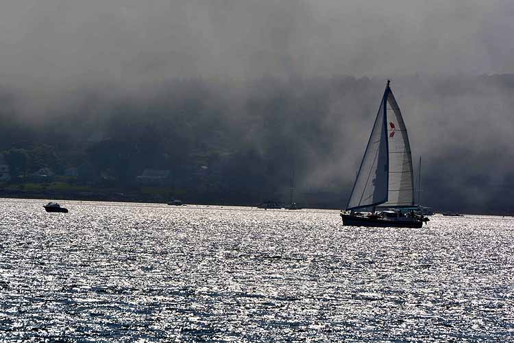
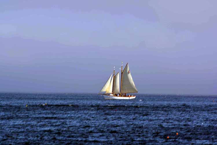
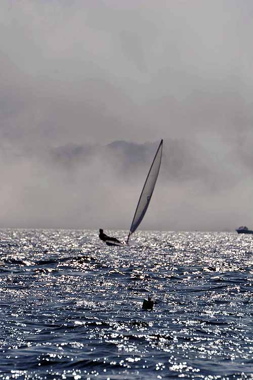
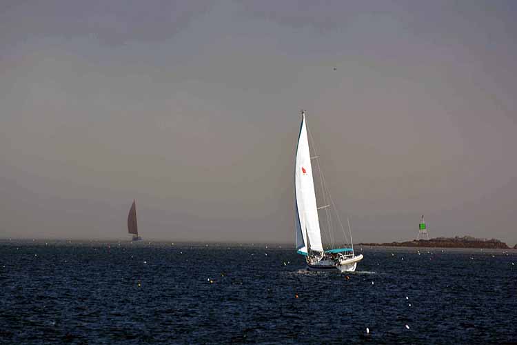
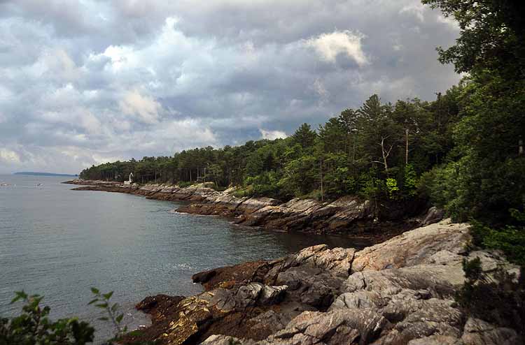
It was a fairly clear day when I walked out to the lighthouse, but soon the fog started rolling in, making for some interesting shots of the sailboats against the sky.
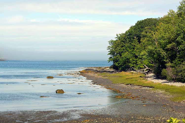
Shoreline taken from the Megunticook Campground by the Sea in Rockport.
The sunset fell a little short this day, but I found the cloud formations worthy of a picture.
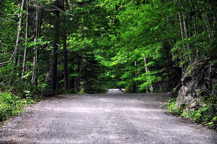
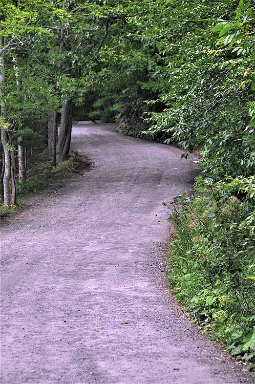
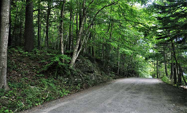
Beauchamp Point Road is a forested unpaved street in Rockport that lines the eastern shore above Rockport Harbor. Though cars are allowed, it's mostly residential and used by walker and bikers.
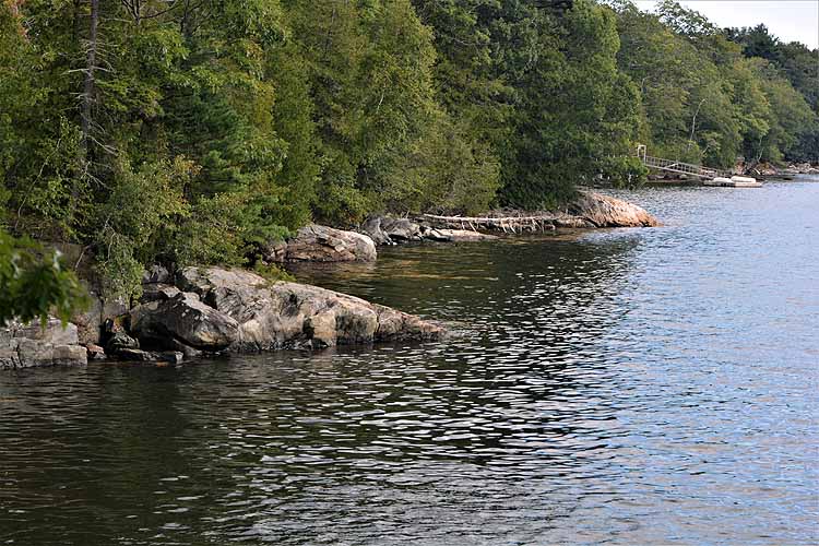
Beauchamp Point shoreline
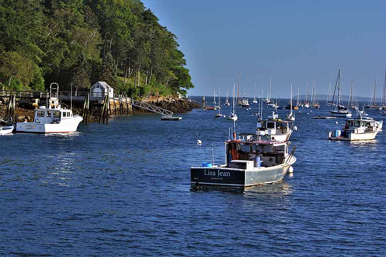
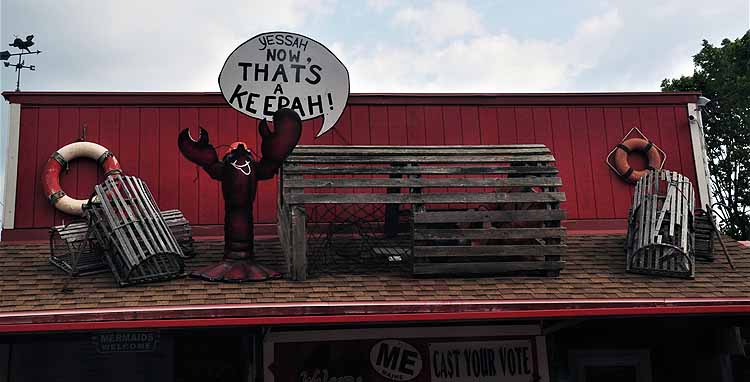
Lobster shack in Rockland
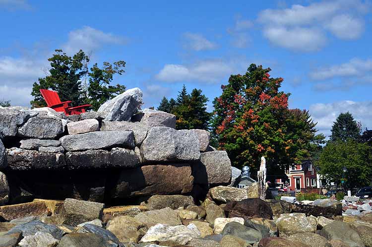
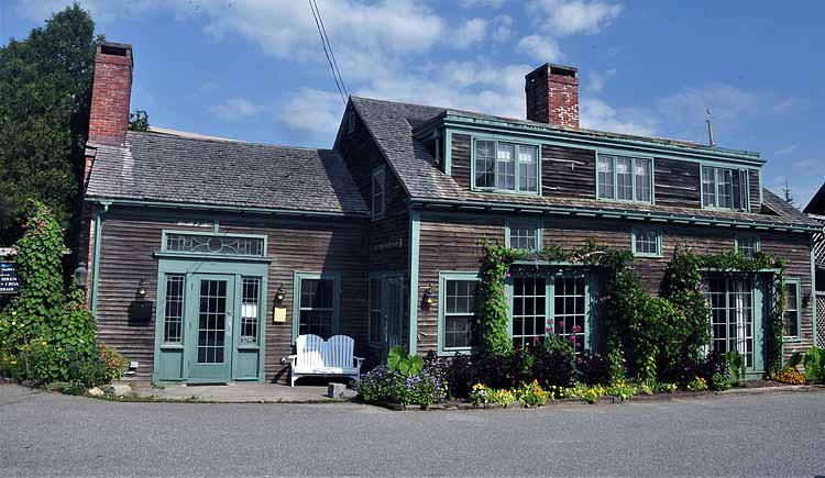
Just a pretty building, Rockport
Camden Harbor. Taken from Laite Beach
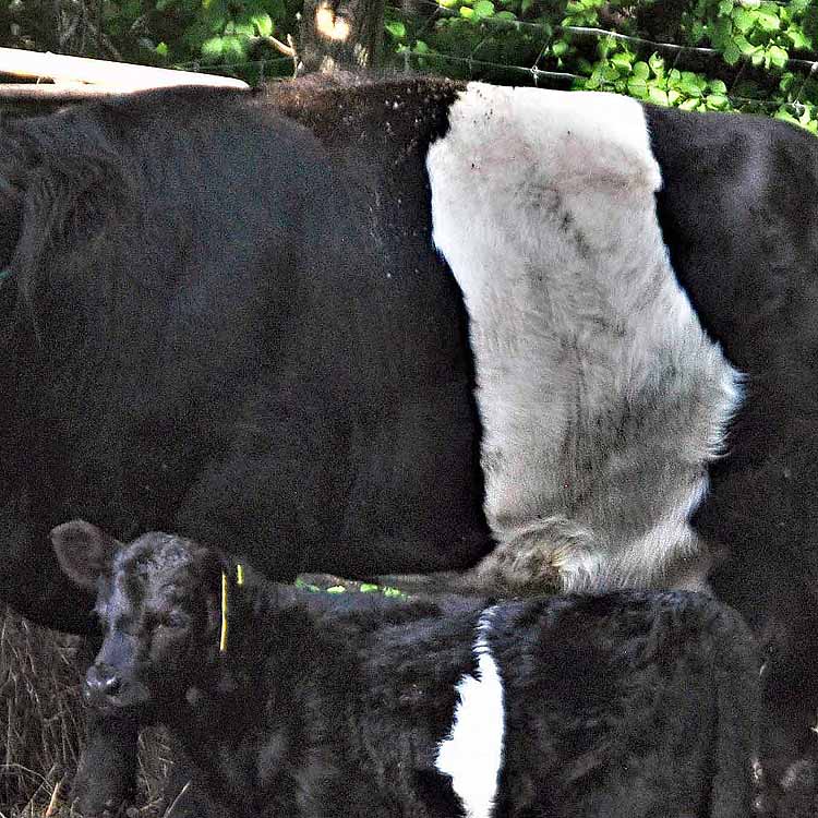
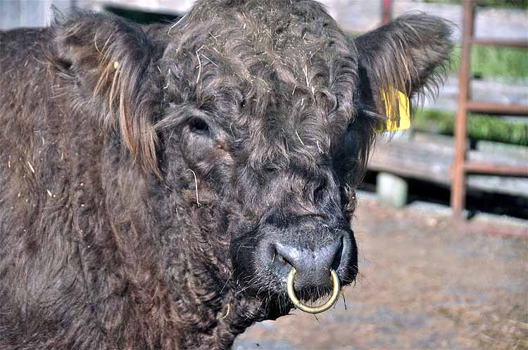
Banded Galloway cows originated in Scotland. They are identifiable by a band of white across their middle. Fondly they are nicknamed Oreo cows. Aldemere Farms Preserve in Rockport is a working banded (belted) Galloway cattle farm.
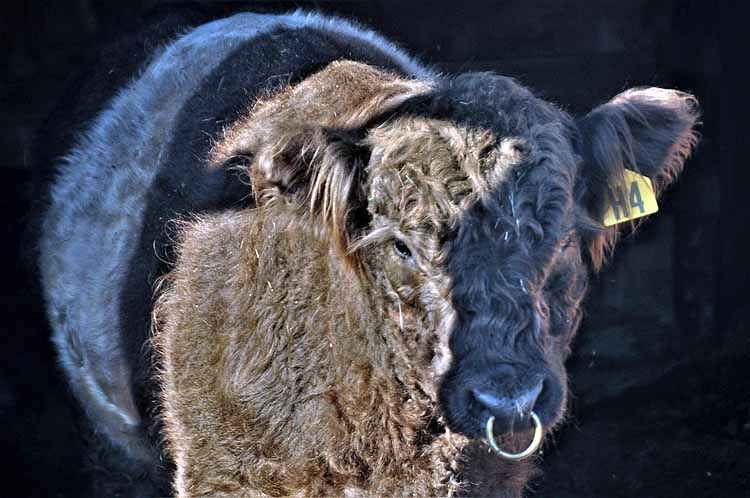
Dun cattle are an offspring of the black and white banned cattle. Duns are more brown in color with the white band.
This baby is yet unnamed. He's only two weeks old.
Just as I snapped this photo, a shovel full of hay was dropped on the dun's head. He shook it off, unfazed.
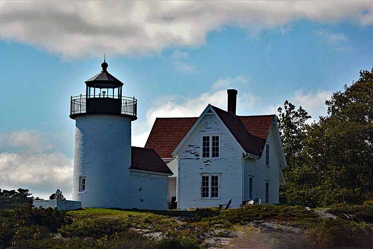
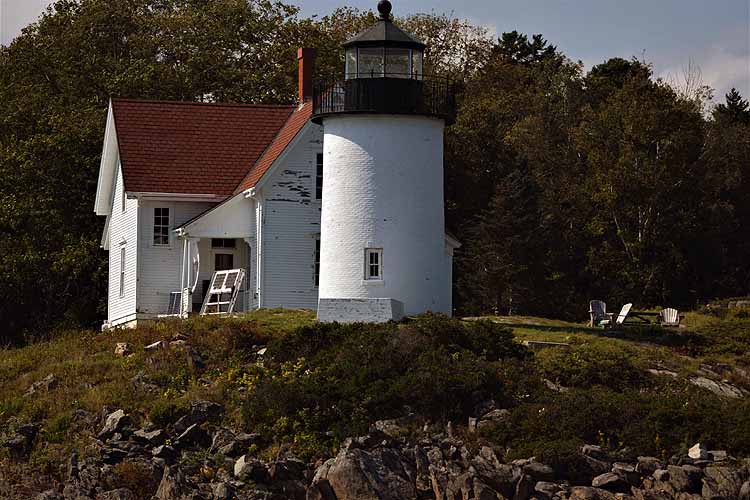
Curtis Island Light is located in Penobscot Bay and marks the entry to Camden's harbor. The structure we see today was built in 1896. It is only accessible by boat. Originally called Negro Island Light, in 1934 it was re-named after Cyrus Curtis, known in the area for his philantropy. It is owned by the city of Camden.
Thank you for visiting these photo pages.
If you're interested in seeing more, please return to my Main Menu at the bottom of my home page and make your selection.
All images within thewanderingchick.com Web site are copyright protected. They may not be downloaded or otherwise copied.
Please contact me if you think a particular photo or set of photos can be used in your publication.
Curtis Island acts as a natural breakwater from high winds and storms for Camden's Harbor.
Indian Head Lighthouse is another island-located lighthouse in Penobscot Bay just off the tip of Beauchamp Point. It is privately owned and not open to visitors. It was built in 1850, but discontinued in 1934. An automated beacon has taken its place as a marker to Rockport Harbor for mariners.
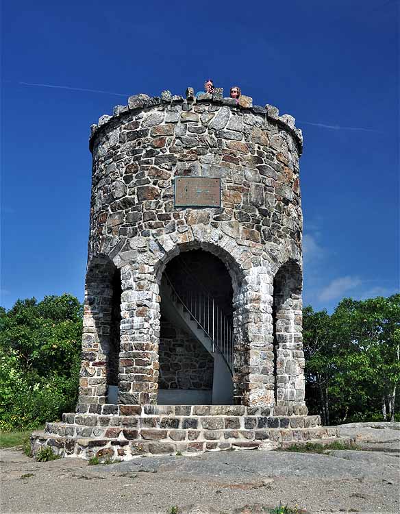
A carriage road up to the top of Mount Battie in Camden Hills State Park was first initiated in 1897 by a Columbus Bushwell. Bushwell also built what he called the Summit House, a hotel opened to the public. Before long, busines began to decline because the newly invented "automobile" couldn't make the steep climb. The hotel fell to ill-repair, and the Mt. Battie Association took over, demolished the hotel and, by July of 1921, had constructed the Mt. Battie Memorial Tower. The stones used came from the Summit House's foundation. It wasn't unitl 1963 that money was funded for a road leading to the summit. In 1965, the road unofficially opened wihen 7000 people drove to the summit. In 1965 it opened officially.
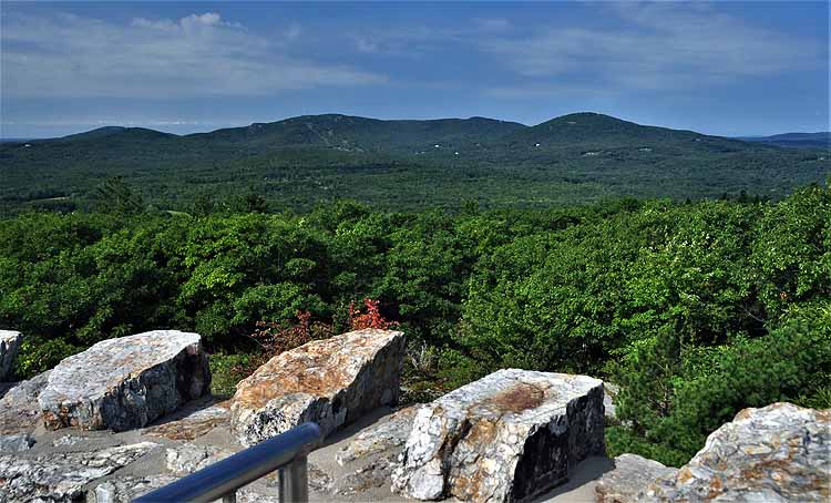
The Camden Hills
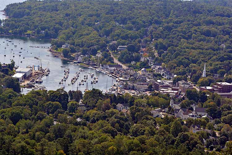
Camden Harbor as seen from Mt. Battie Summit
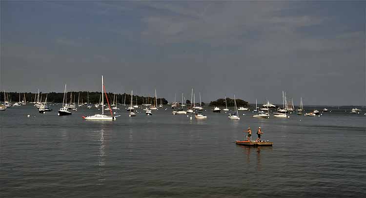
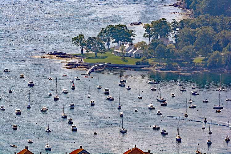
Camden harbor
Near Rockport Marine Park
Rockport harbor
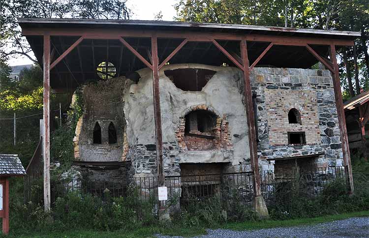
These kilns are all that remain of Rockport's 19th century major industry: lime. Limestone rock was brought in from local quarries and made into lime which was shipped to businesses along the east coast for making mortar. The industry died by the early 1900s when cement became the choice for building construction.
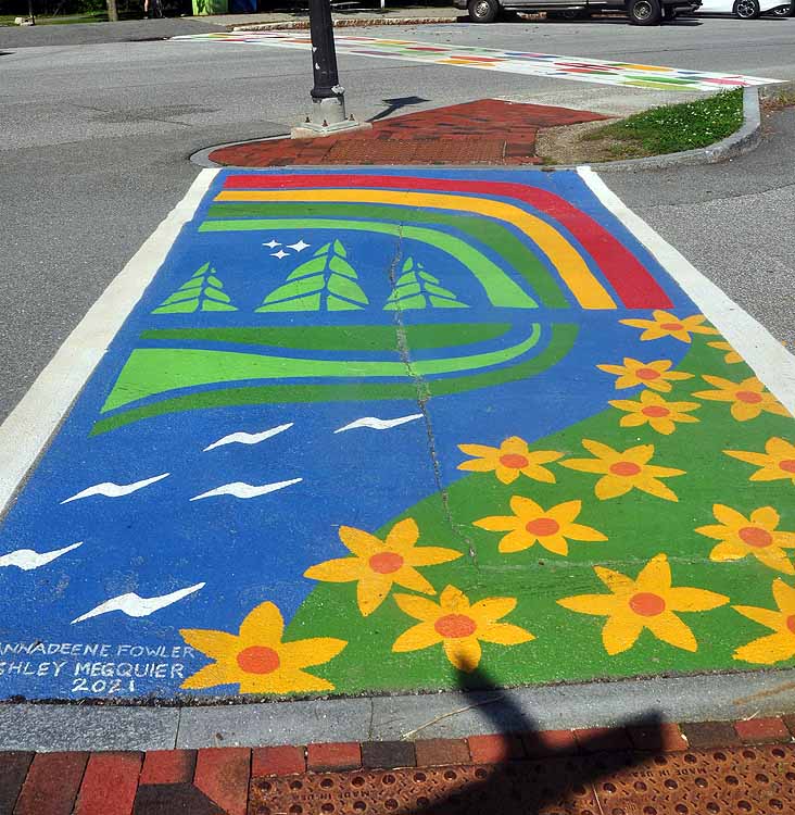
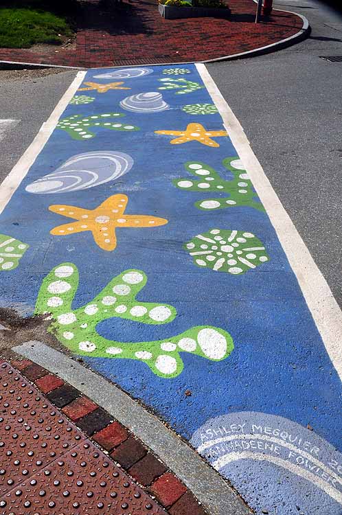
In Belfast, painted street crossings. How clever, how colorful.
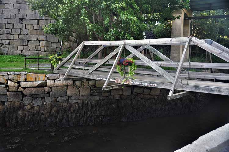
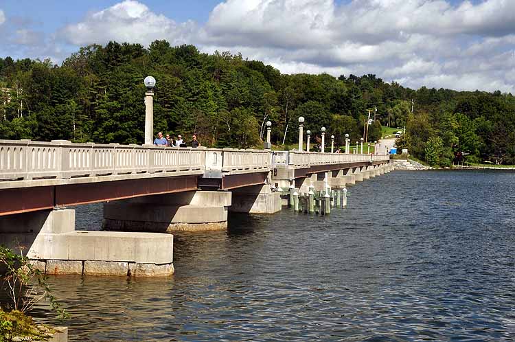
This footbridge is a part of the Rail Trail system in the area. Built in 2006, it crosses the Passagassawakeag River. In the early days, a wooden bridge, called the Lower Bridge and built in 1806, crossed the river for pedestrians, horse-drawn carriages, oxen and then automobiles.
The Belfast Harborwalk is a nice paved stroll, around a couple of miles in length. Its starting point is at the city side of the Footbridge that spans the Passagassawakeag River. It passes the marina, a shipyard, and the downtown section.
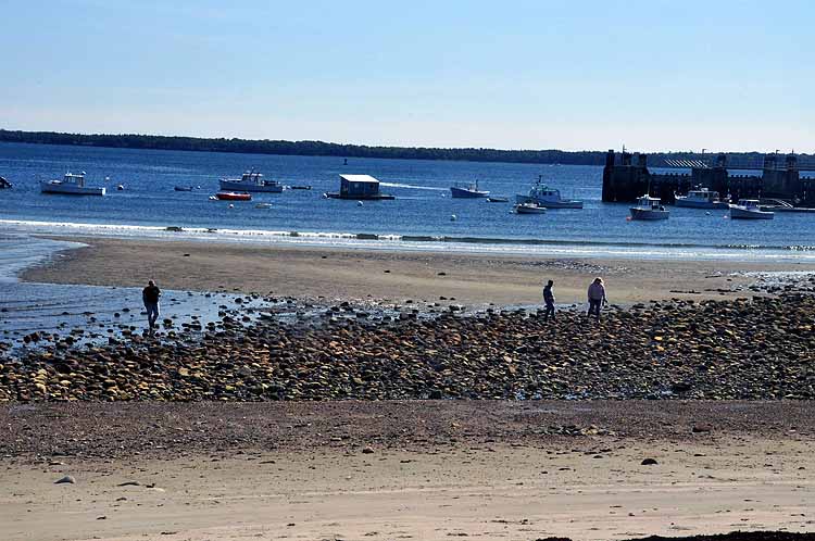
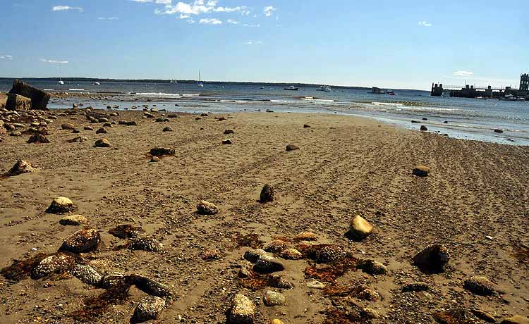
Lincolnville is a small coastal town on Route 1 between Camden and Bar Harbor. Its beach at a dramatic low tide was fun to explore.
Lincolnville. It's mid-September, and I'm now beginning to see the first hints of autumn.
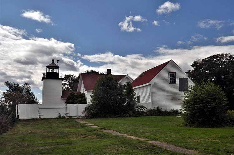
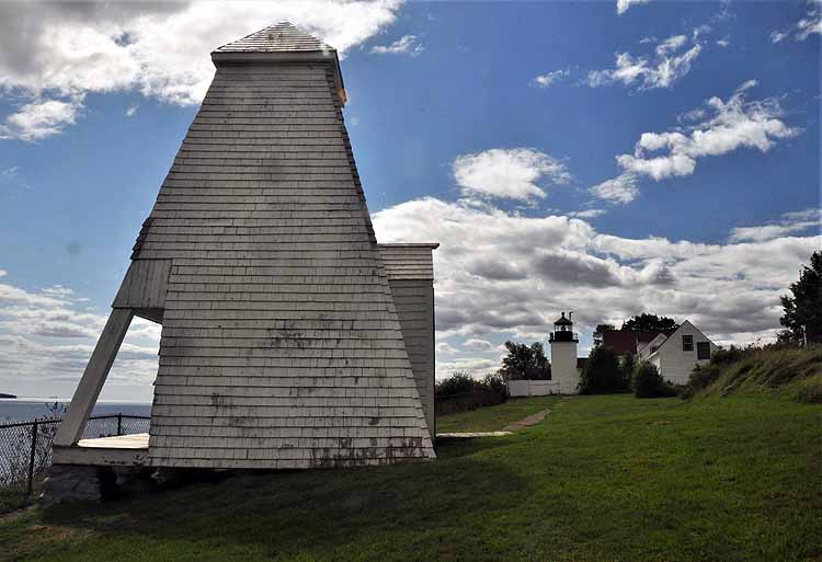
The Fort Point Lighthouse in Stockton Springs is located on the grounds of the Fort Point State Historic Site. The lighthouse standing today was constructed in 1857. Also on the grounds is the fog bell tower, built in 1890 and a couple other buldings. The light marks the entrance to the Penobscot River.
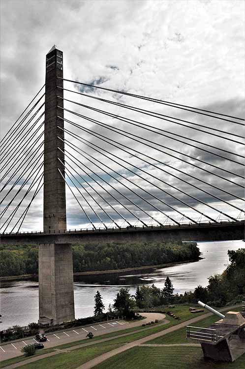
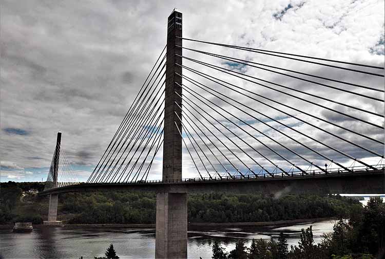
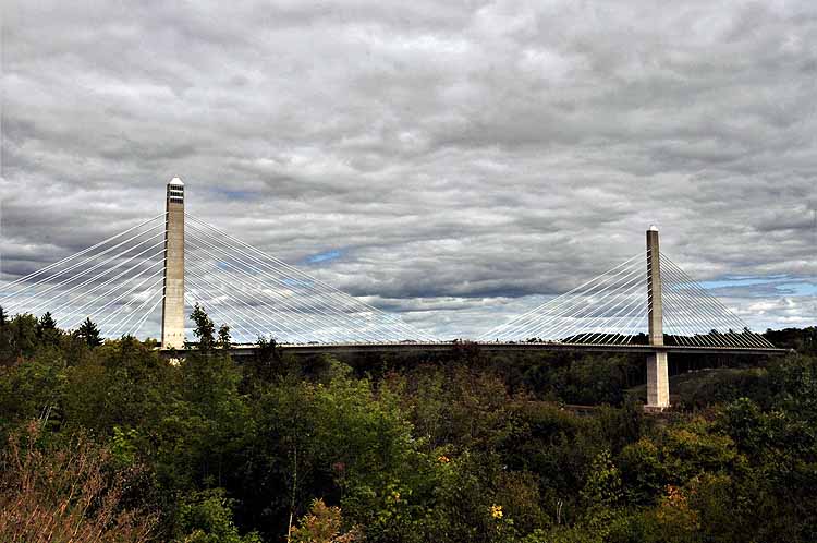
The Penobscot Narrows Bridge & Observatory crosses the Penobscot River on Route 1, connecting Verona Island to mainland Maine. It is said to be the tallest bridge observatory in the world, more than 400 feet up, 42 stories tall. It's one of four observatories in the world. It offers 360-degree views of the surrounding area inclluding the Penobscot Bay, River, the Maine countryside and the mountains to the west. It was built in 2006 replacing the Waldo-Hancock Bridge that was built in 1931.
Because it's so close to the fence, I couldn't get a picture of the bell that's located inside this tower. It sits on the open platform closest to the water.


-2021-09-09-maine-camden.jpg)
-2021-09-09-maine-camden.jpg)
-2021-09-09-maine-camden.jpg)