the wandering chick
including Bar Harbor
...Mount Desert Island
Three areas make up Maine's Mount Desert Island: Acadia National Park, the area that's called "The Quiet Side," and then whatever's left. At least, that's how I categorized it. It's the largest island off Maine's coast and the second largest on the east coast, with New York's Long Island ranking larger.
Its draw is Acadia National Park and the tourist-magnet town of Bar Harbor. But, there's plenty more to witness and enjoy on MDI besides where all the action is.
The Quiet Side is the name given to the western side of the island, so called because it doesn't have the hustle and bustle that Acadia and Bar Harbor draw. It includes quaint fishing villages like Bernard, small harbor villages like Southwest Harbor and the lighthouse Bass Harbor Light.
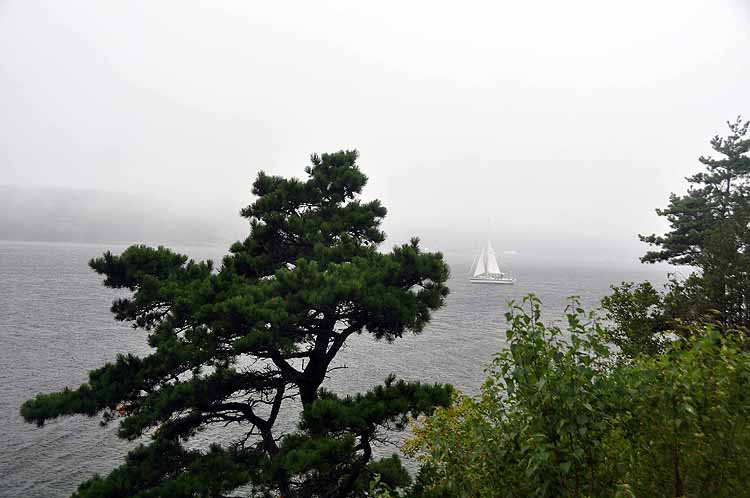
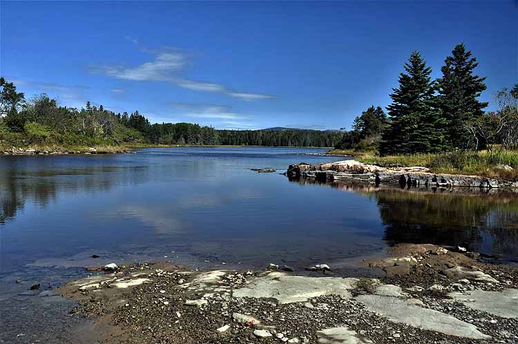
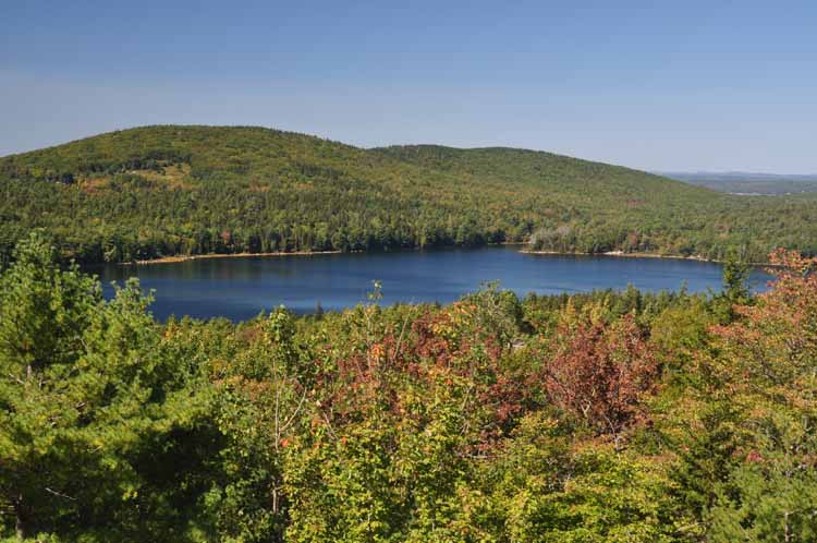
Then there's the "other" like Echo Lake with its sandy beach , Northwest Harbor and Somes Sound. Somes Sound cuts deep into Mt Desert Island in a north-south direction. It almost splits the island into two halves, Bar Harbor and most of Acadia NP on the east side, and "The Quiet Side" being the west side of the Sound.
It can all be enjoyed on 108 square miles, roughly half of which is Acadia National Park.
Mt. Desert Island is located midway between Rockport and Lubec, part of the section of Maine called the "Downeast."
Thank you for visiting these photo pages.
If you're interested in seeing more, please return to my Main Menu at the bottom of my home page and make your selection.
All images within thewanderingchick.com Web site are copyright protected. They may not be downloaded or otherwise copied.
Please contact me if you think a particular photo or set of photos can be used in your publication.
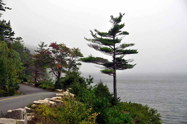
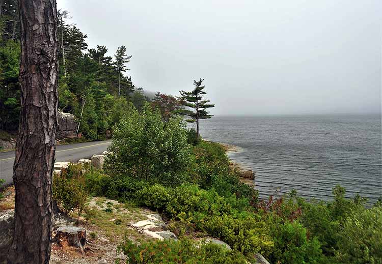
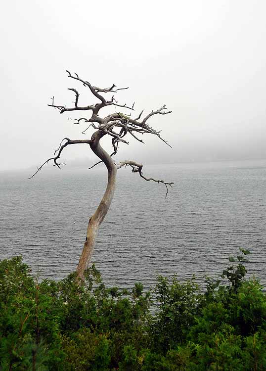
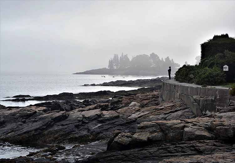
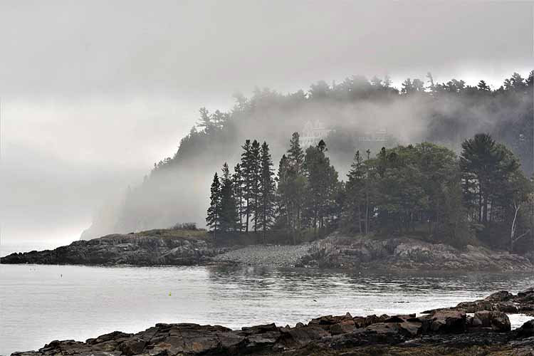
Sargeant Dr is roughly a couple of miles long, hugging the coast of Somes Sound. On the day I drove it, fog was pretty heavy. But it didn't seem to make it any less picturesque.
Northeast Harbor
Somesville was the first European settlement on Mount Desert Island, dating from 1761. Once called Betwixt the Hills, it is now a National Historic District.
Above and to the Right: Seal Harbor, located on the southern tip of Mount Desert island
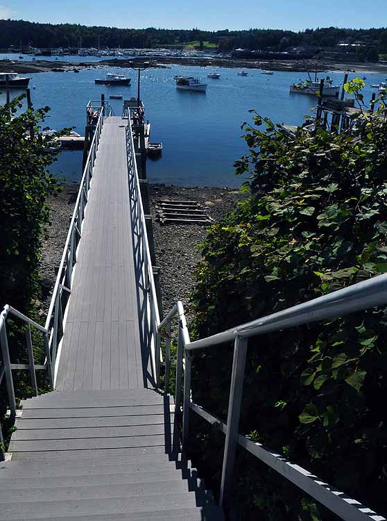
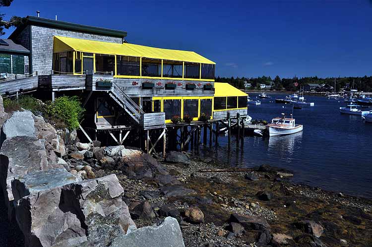
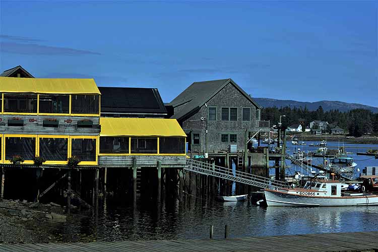
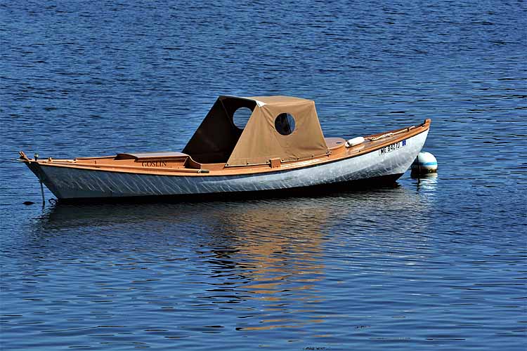
In the village of Southwest Harbor
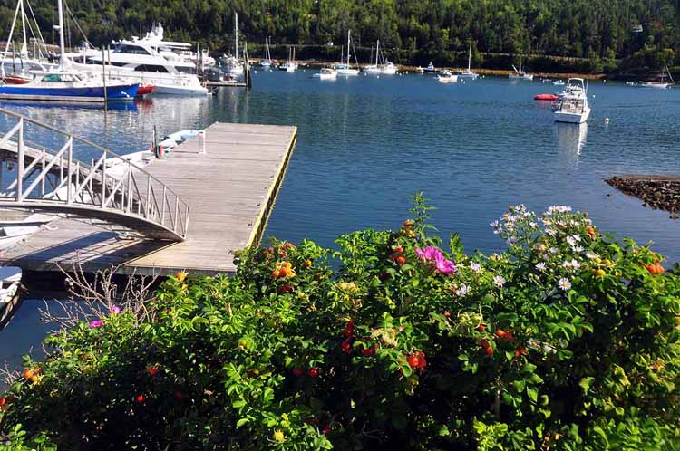
Southwest Harbor is located on what is called "The Quiet Side" of Mt Desert Island on the west side of Somes Sound.
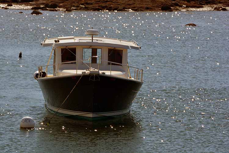
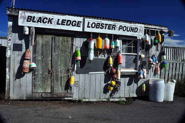
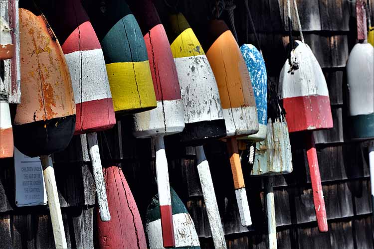
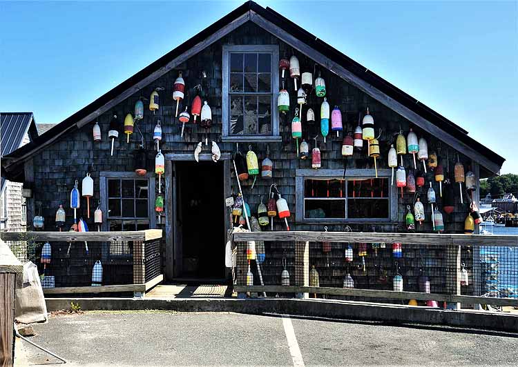
One can't go far on Maine's coast without running into a lobster pound. This one is on a dock at Southwest Harbor. Originally, the term "Lobster Pound" was used to describe a large enclosed area where lobsters were kept until they could be sold at market. Today, it refers to a commercial business or eatery that is able to hold a large amount of lobsters for cooking and serving immediately.
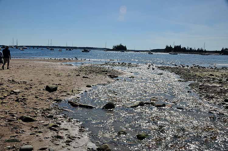
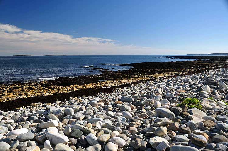
Seawall Beach
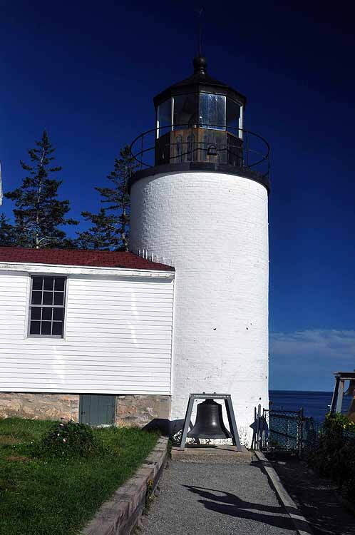
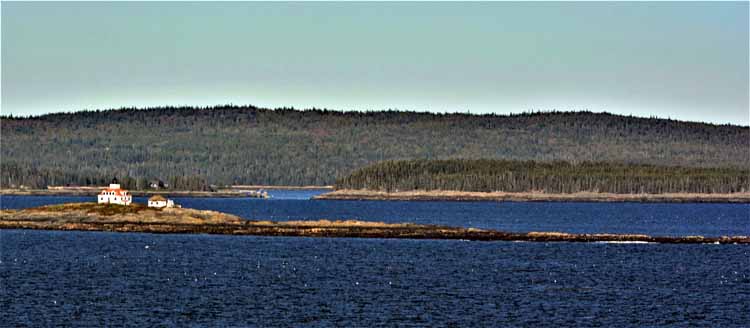
Bass Harbor Head Light Station is at the southern tip of Mt. Desert Island, within a pocket of Acadia National Park, which maintains it. It was built in 1858 and its light reaches a little more than 13 (11 nautical} miles out to sea.
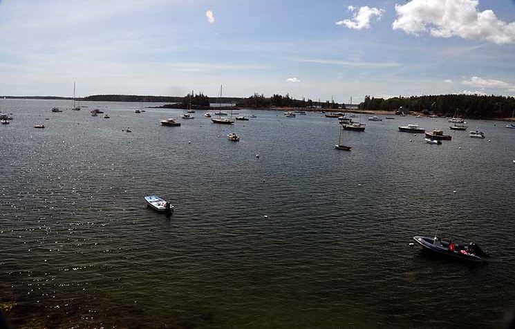
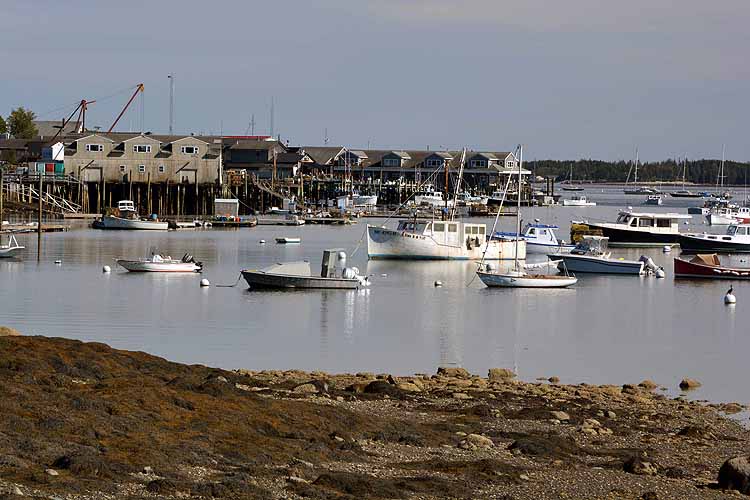
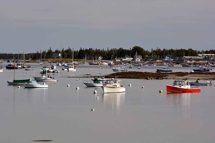
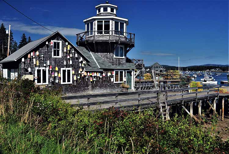
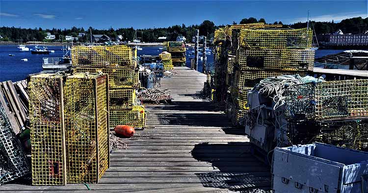
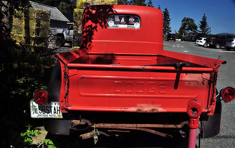
Bass Harbor is located at the southern tip of Mt Desert Island. It's said to be one of the more lucrative lobster-producing ports in Maine. The harbor is shared with the village of Bernard, both being within the city of Tremont. Photos of the village of Bernard are below.
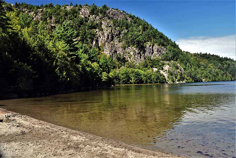
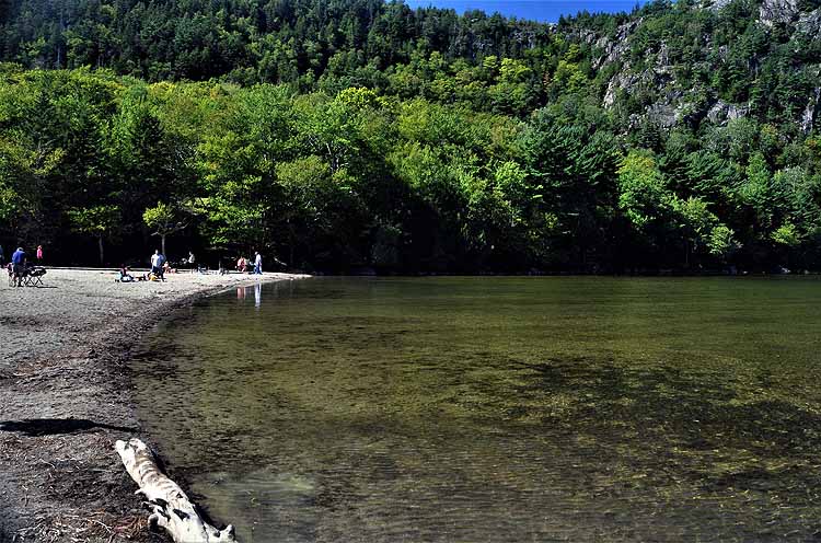
Echo Lake beach is a more popular fresh-water beach for the locals, located off Route 102.
Route 3/102 south of Trenton crosses the Mt. Desert Narrows and brings one onto Mt. Desert Island from the mainland.
Mt. Desert Narrows
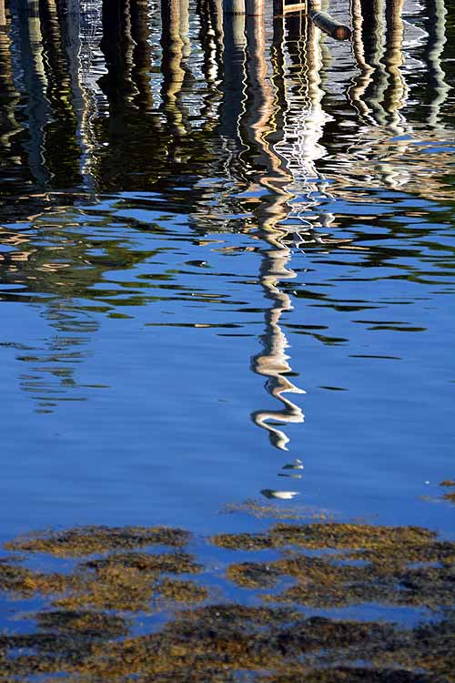
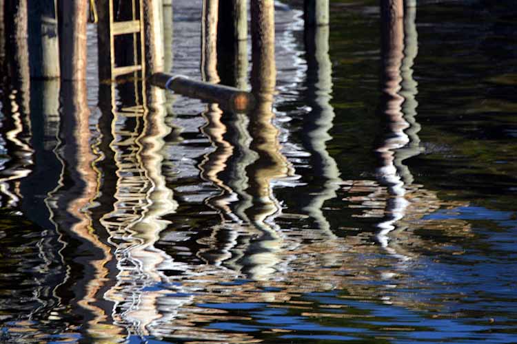
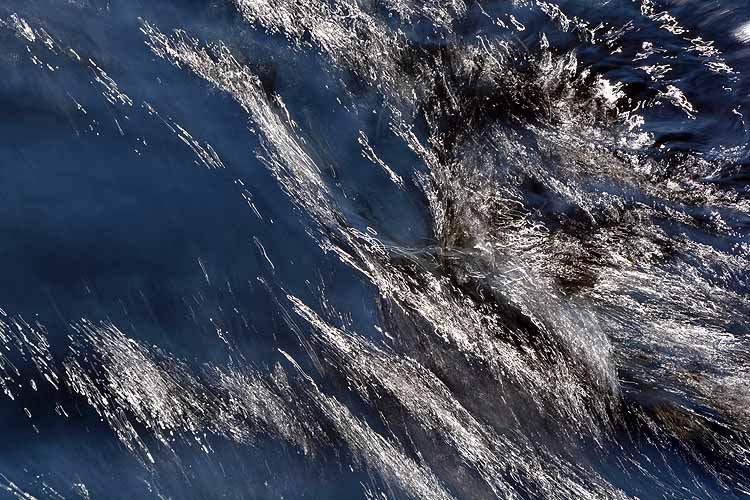
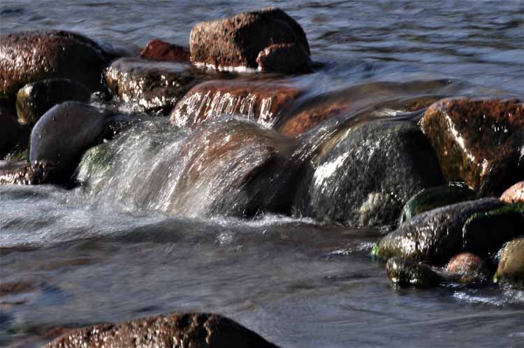
Close-up of moving water, special effects used
Ripples in the water create an interesting effect of the dock posts.
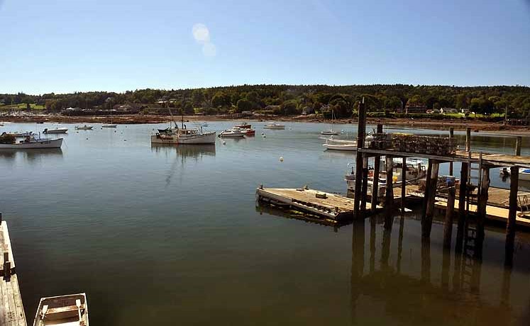
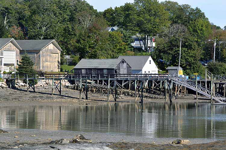
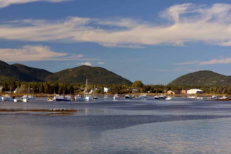
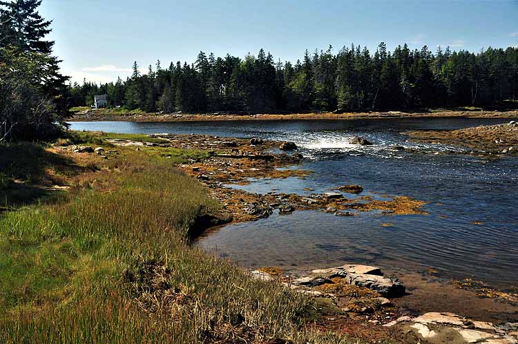
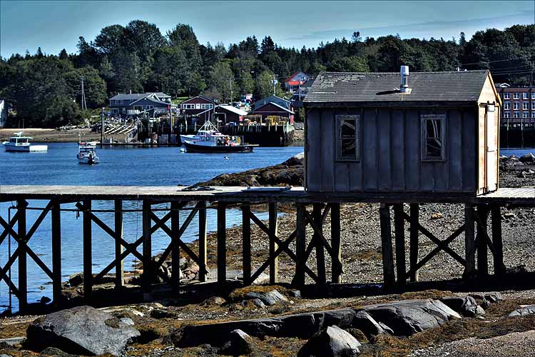
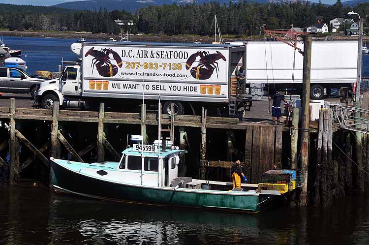
The fishing village of Bernard, on the Quiet Side.
Transferring lobster from boat to truck at Bernard
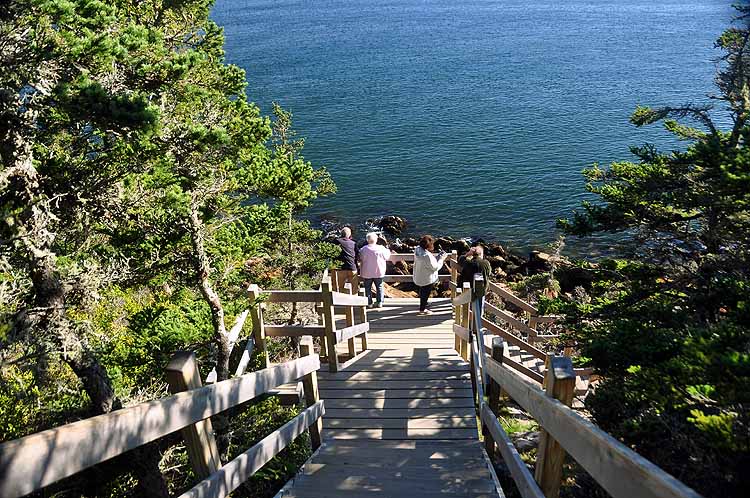
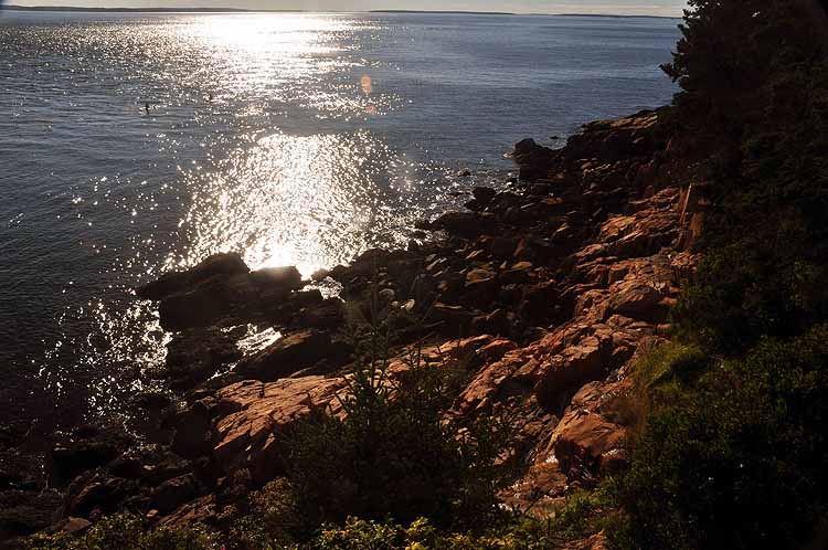
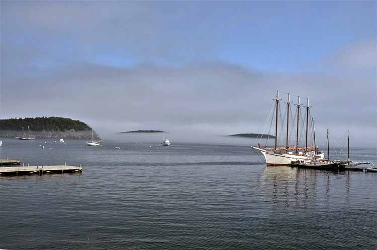
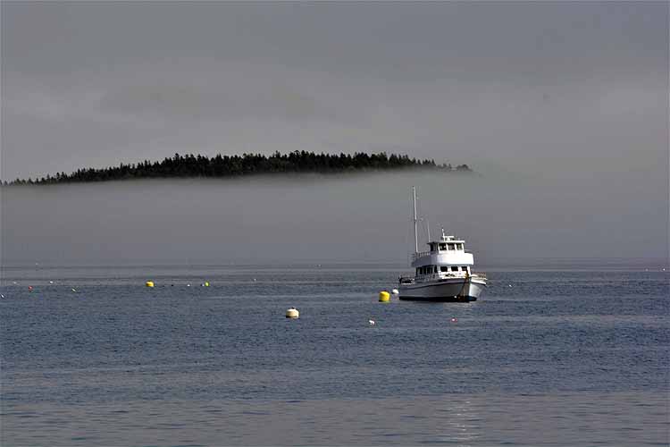
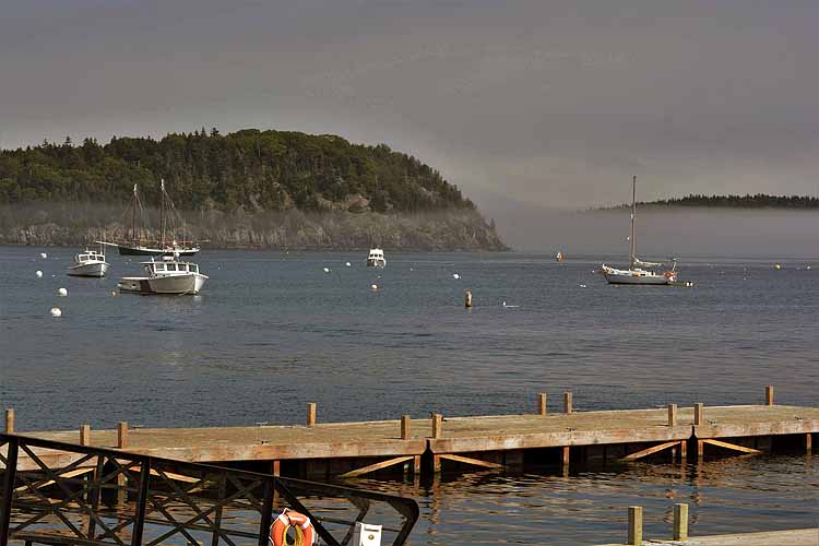
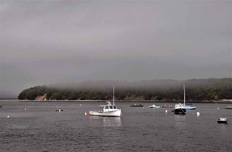
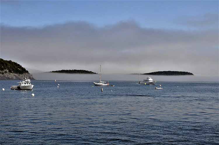
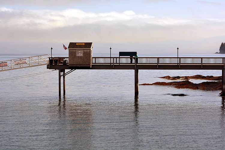
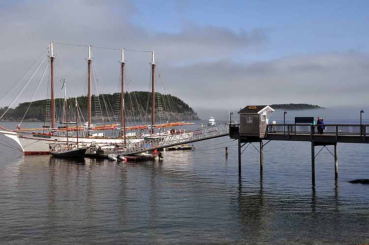
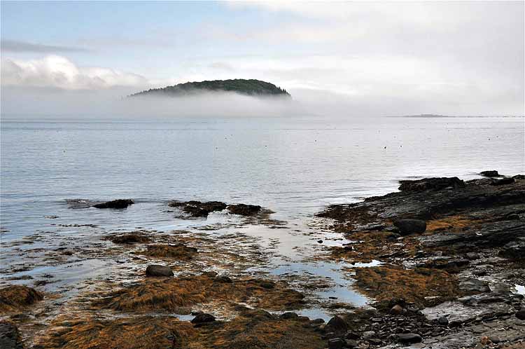
Looking out at Frenchman Bay from the Bar Harbor Shore Path. The Shore Path is an easy super scenic paved walk along the eastern shore of Mt. Desert Island, starting at the harbor in Bar Harbor. It runs out and back for about 1.5 miles. The next several shots were taken from the Shore Path.
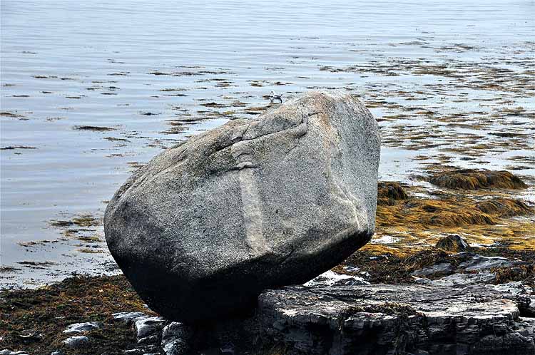
This boulder seen from Bar Harbor's Shore Path is said to be an erratic, one that has been carried by glaciers far, far from its original location.
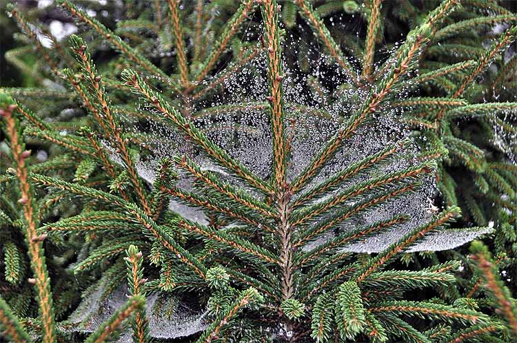
A spider's web, heavy with the morning dew, was captured in a pine tree on the Shore Path.
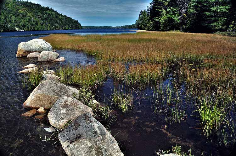
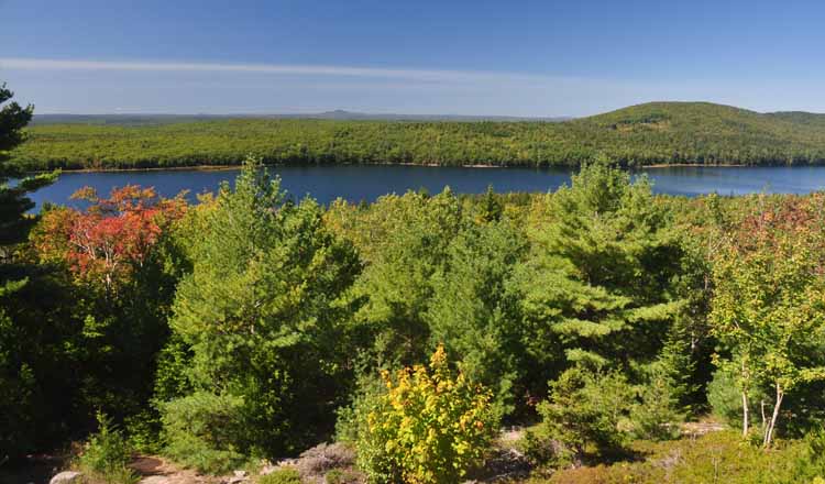
Above and Left: Eagle Lake
Egg Rock Lighthouse sits at the entrance to Frenchman Bay and can be seen from a couple of locations in Acadia National Park. It is so called because of the birds that, previous to the coming of the lighthouse, would nest there. The lighthouse was put into operation in 1875.
On the beach at Seal Harbor
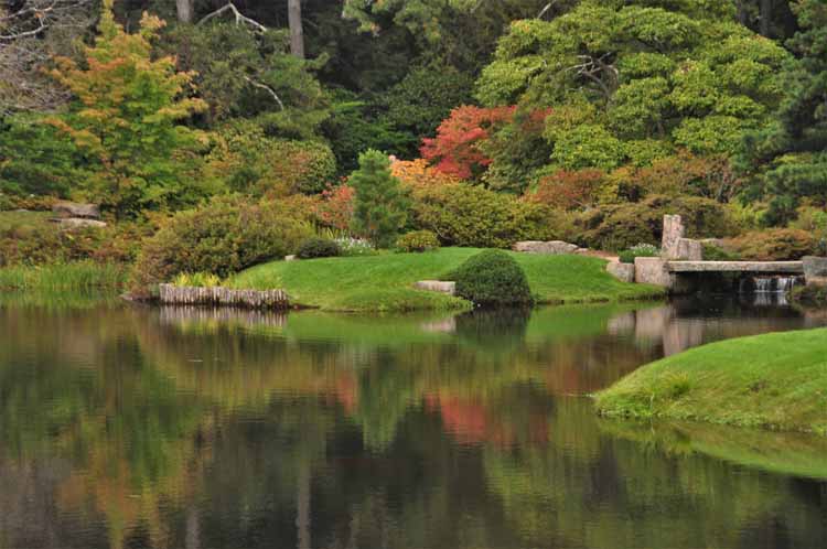
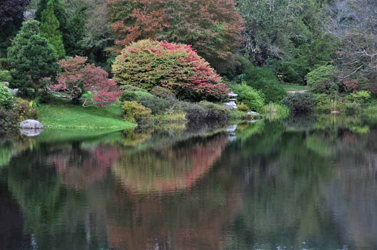
The Asticou Azalea Garden in Northeast Harbor