the wandering chick
...the Harpswell Islands
featuring Bailey Island
My first year of retirement, I made a trip up to coastal Maine, and my most vivid memory is how picturesque it is. Having lost all my photos of that trip in a computer crash soon after, I was devastated and vowed to redo the trip.
So here I am, 13 years later, re-capturing my photos and adding some to what I had lost.
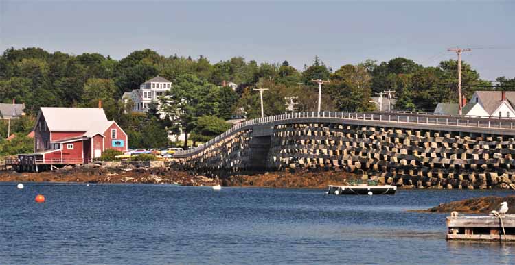
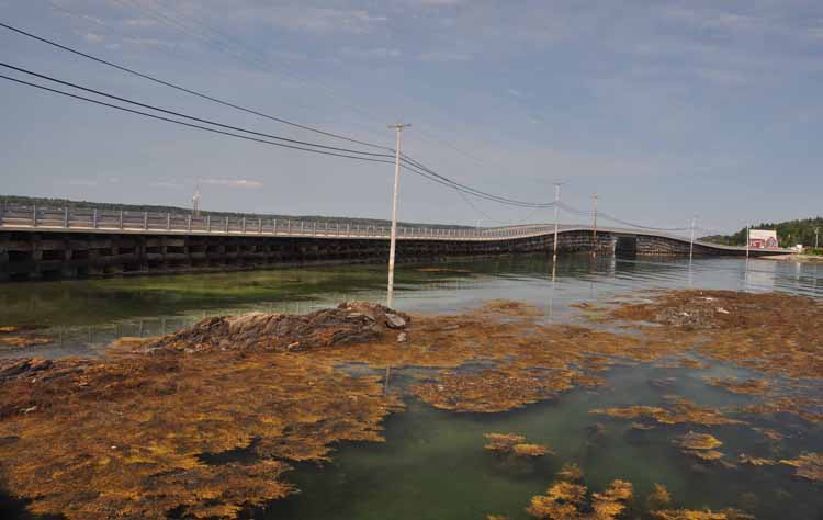
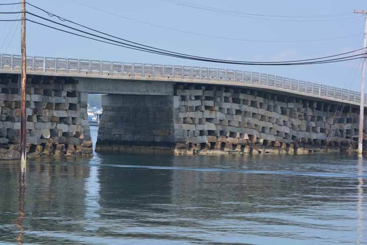
One thing that was most vivid in my mind was the Bailey Bridge. It's surely one of my favorite structures in all of New England. So, I couldn't wait to get to the Harpswell Islands to see this truly unique piece of "art." I had much more time to spend this time around and enjoyed seeing it from every angle.
Harpswell Islands comprises more than 200 islands, the majority of them uninhabited and only accessible by boat. A good portion of those are natural habitat for various migratory birds, making them off-limits for certain times of the year.
Three major islands are Bailey, Orr's and Sebascodegan. Bridges connect the three, Bailey being the most southerly.
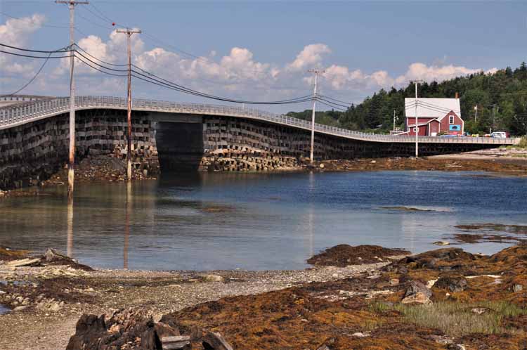
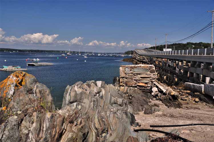
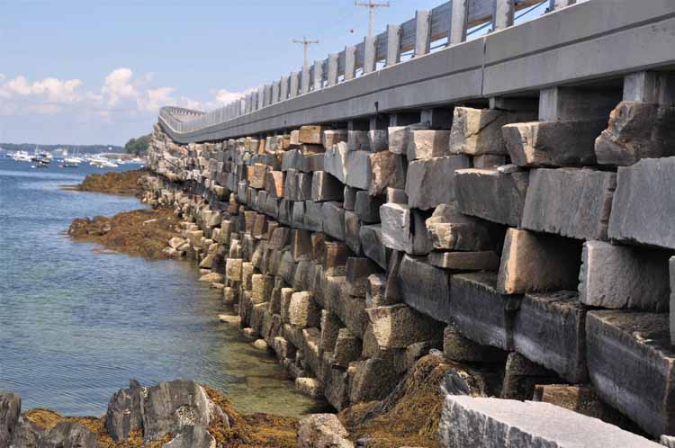
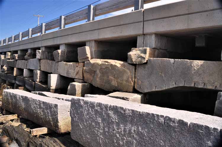
The Bailey Island Bridge is a National Historic Civil Engineering Landmark. Its construction started in 1927 and was completed in 1928. It is the only one of its type in the world, but was patterened after a similar one in Scotland. The pattern, Cribstone, was chosen due to the extreme tide change in Will's Gut, the waterway over which the bridge was built. This pattern allows free flowing of water, ice and debris . It's made of large slabs of granite that are heavy enough to withstand the water and wind even though no mortar holds the pieces together. It is 1,150-feet long (nearly three-tenths of a mile) and is part of Route 24 that connects Orr's and Bailey Islands. In 1951 a sidewalk for foot passengers was added, and in 1961 guardrails.
Thank you for visiting these photo pages.
If you're interested in seeing more, please return to my Main Menu at the bottom of my home page and make your selection.
All images within thewanderingchick.com Web site are copyright protected. They may not be downloaded or otherwise copied.
Please contact me if you think a particular photo or set of photos can be used in your publication.
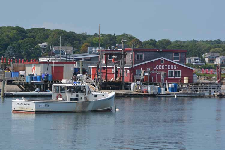
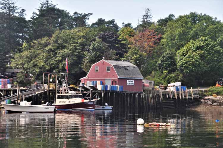
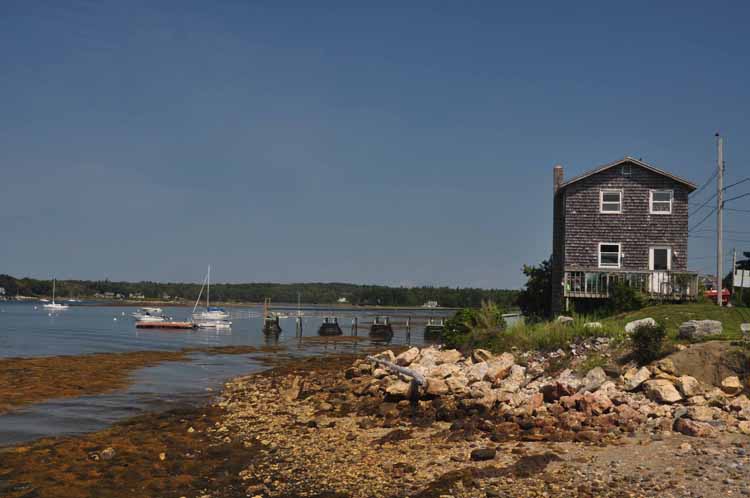
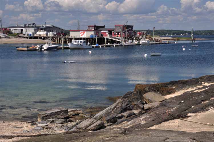
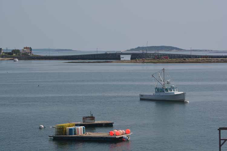
Cook's Lobster House and wharf, just across the water from Bailey Bridge.
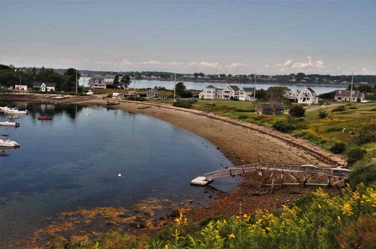
On Bailey Island is Mackerel Cove, pictured here. It has a small beach and a grassy picnic area called Johnson Field Preserve.
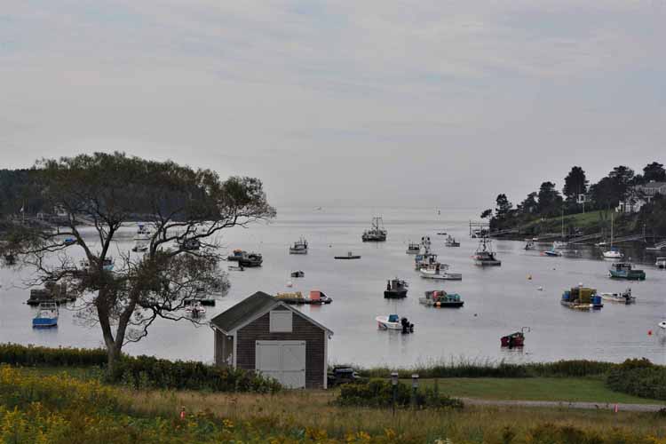
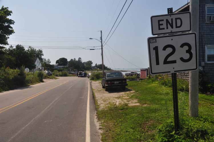
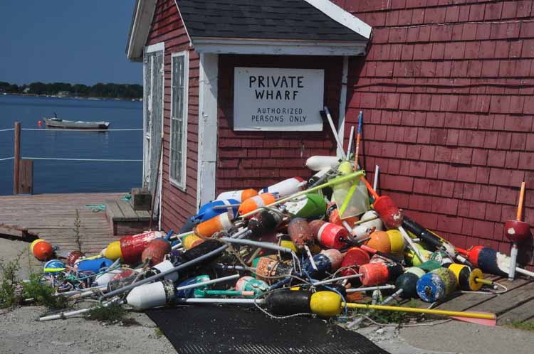
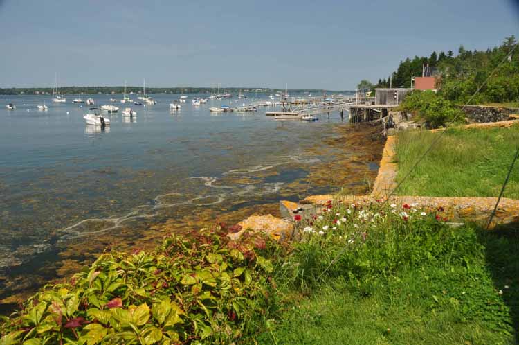
At the end of paved Route 123 at South Harpswell is a public boat launch and a private wharf. There's also Potts Point Preserve which travels sosuthward on a walkable path of tide pools and a beach.
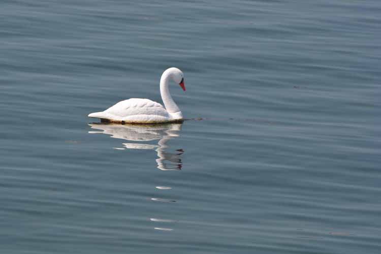
A single swan glides gracefully on the calm water at Potts Point.
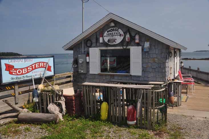
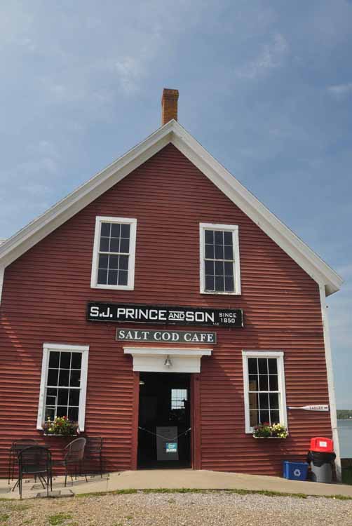
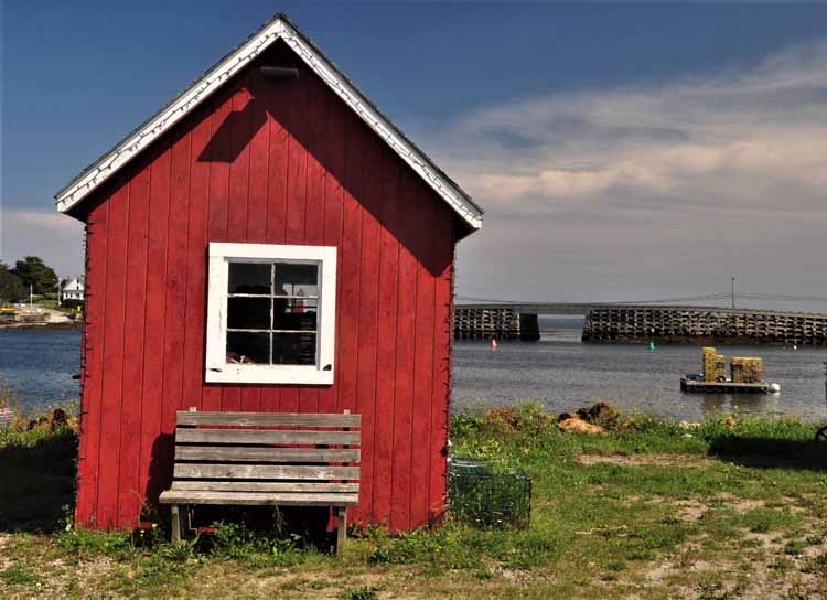
The Salt Cod Cafe is at the south end of Orr's Island, immediately before crossing the bridge on to Bailey Island.
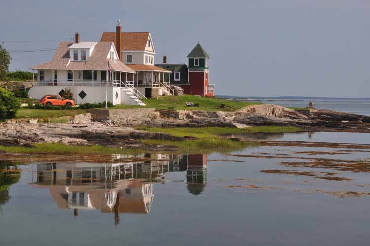
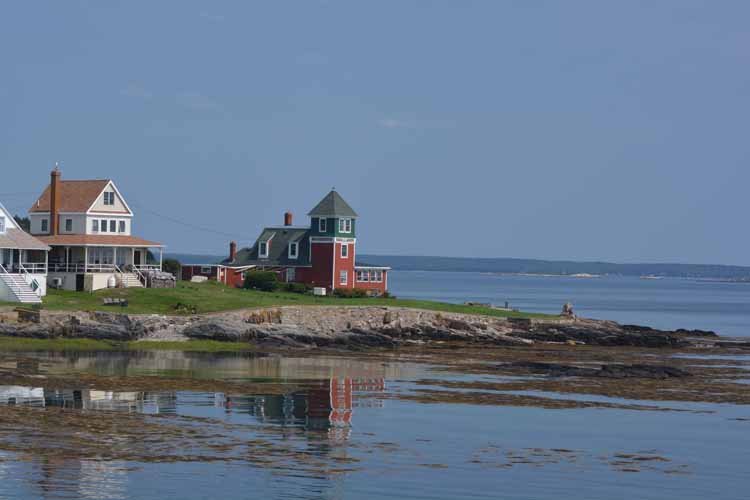
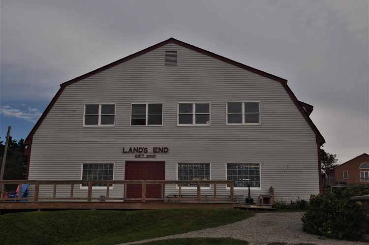
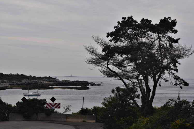
Bailey Island ends here, at Land's End, a gift shop that looks out over Casco Bay.
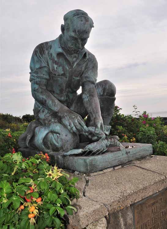
Prominently placed on the grounds of Land's End is the statue "Maine Lobsterman," commemorating those who have dedicated their lives to fishing.
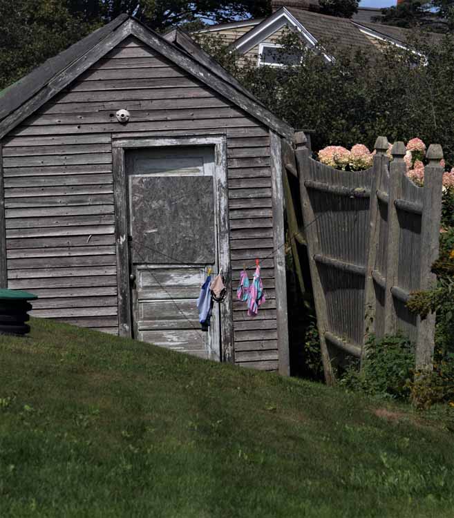
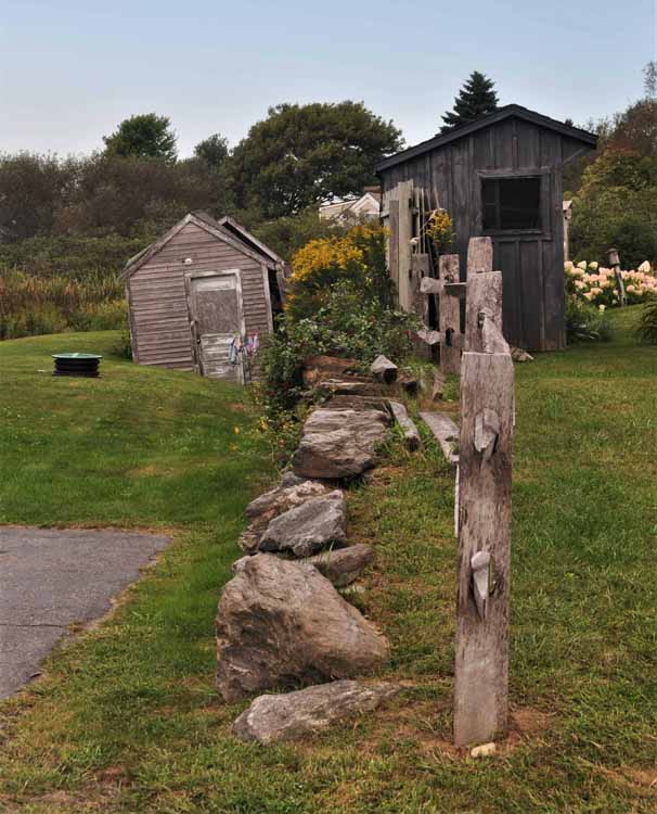
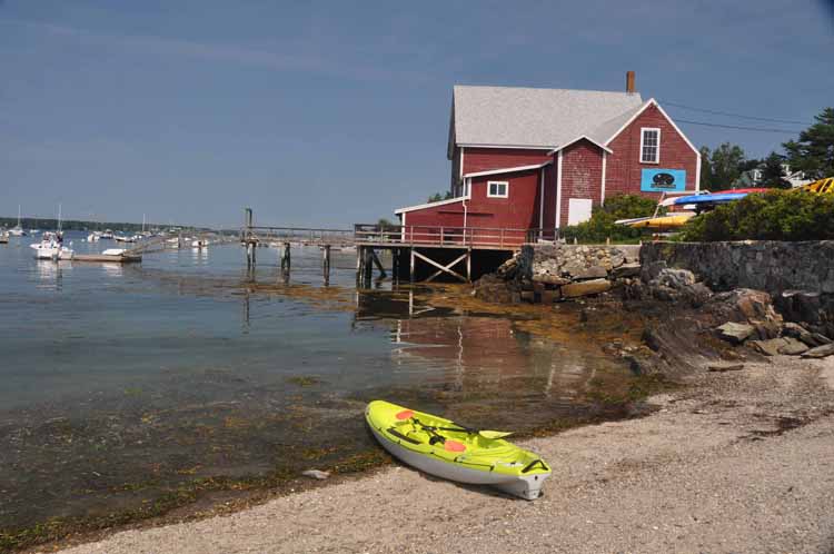
This photo and below: on the grounds of the Salt Cod Cafe
At Land's End, overlooking Casco Bay
Another view of Cook's Lobster House and wharf
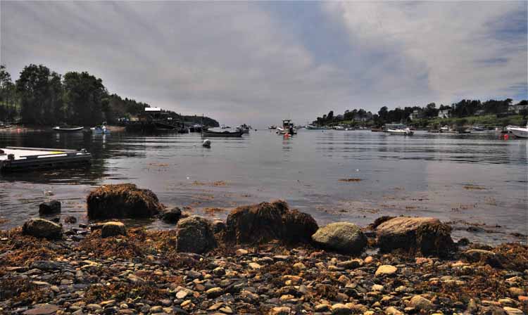
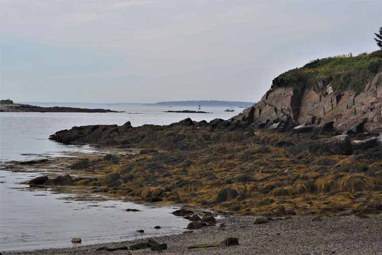
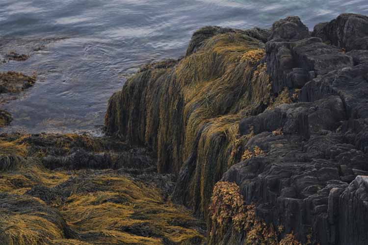
Layers upon layers of seawood collect on the rocky shorelines all along the New England coastline.
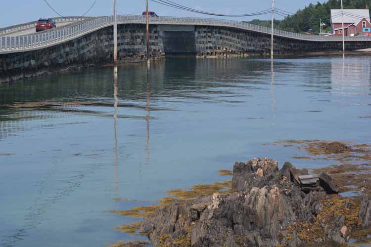
One more view of the Baily Bridge