the wandering chick
...Acadia National Park
It is said that the sun rises first over Cadillac Mountain. In some months of the year, that is true. And that is one of the many draws to Acadia National Park, located primarily on Maine's Mount Desert Island.
But it certainly isn't the only draw. Open year round, there's an enormous amount to explore, accessible by the Park Loop Road, an easy and paved road that covers the largest portion of the park.
There are smaller pockets of the park, too, scattered around, like the Schoodic Peninsula and Bass Harbor Lighthouse that are not within the main section of the park but are just as eye-catching and perhaps less crowded.
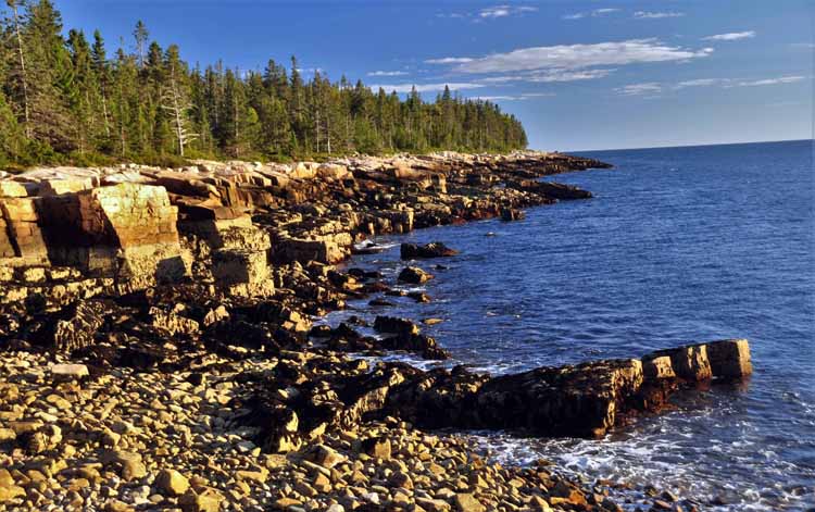
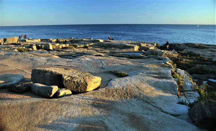
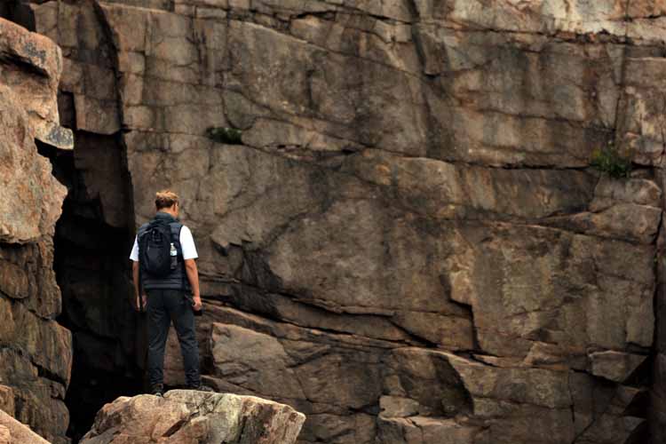
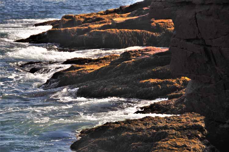
Acadia covers 47,000 acres and has more than 150 miles of trails and carriage roads. One of the more popular hikes is the Ocean Path that starts at Sand Beach and parallels the rugged shoreline, offering two miles of stunning views.
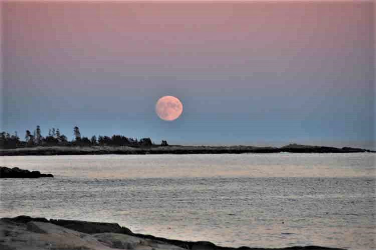
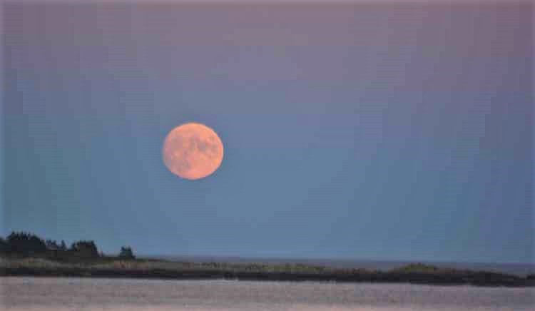
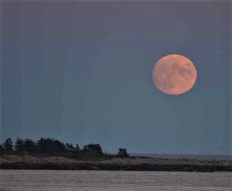
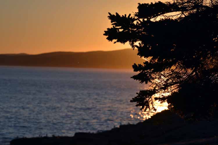
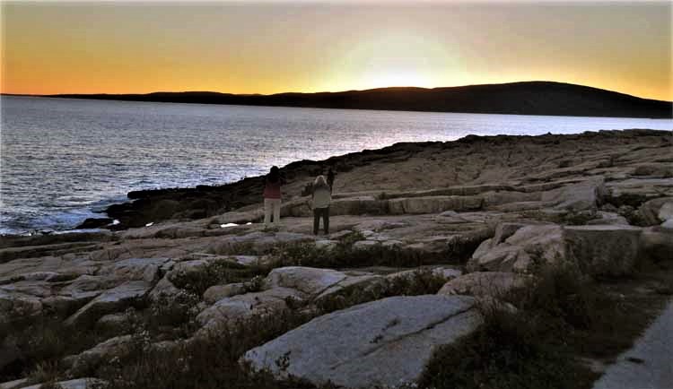
I may not have seen the sun rise over Cadillac Mountain, but I did see the moon rise over the Schoodic Peninsula. The Schoodic Peninsula is a section of Acadia National Park that's not on Mount Desert Island, but rather, on the mainland. It has the same rugged coastline as on MDI, but Schoodic is more secluded and therefore less traveled.
And as the moon was rising in the east, the sun was setting in the west.
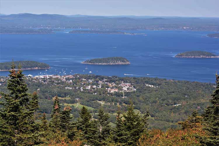
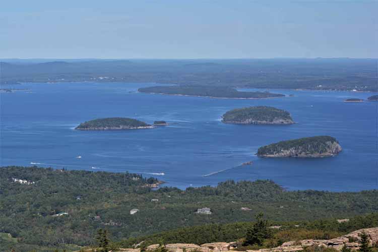
A view of Bar Harbor and Frenchman Bay as seen from the top of Cadillac Mountain
The Porcupine Islands dominate Frenchman Bay off the coast of Bar Harbor. So named because they resemble...well, porcupines, they are a group of five islands all uninhabited and owned by Acadia NP except for one, Burnt Island.
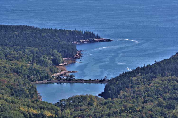
Otter Cove Bridge, part of the Park Loop Road, and as seen here from the top of Cadillac Mountain.
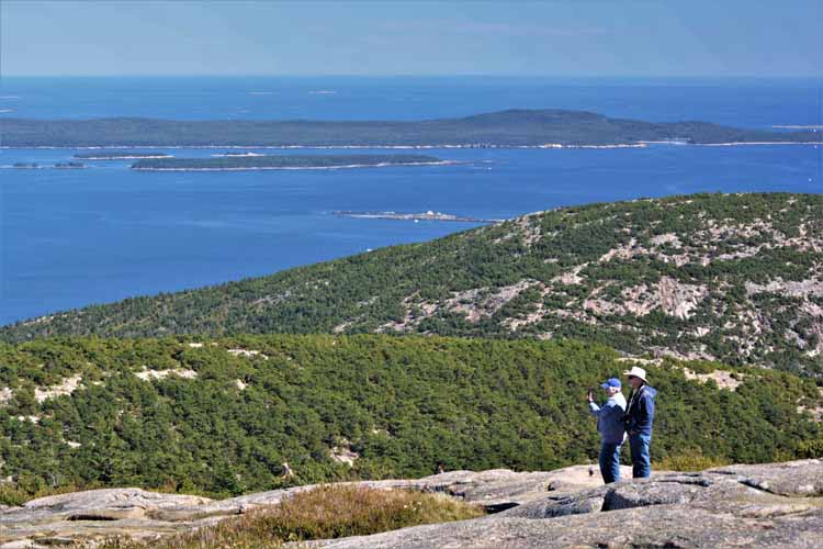
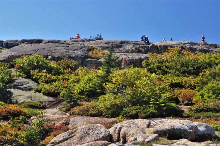
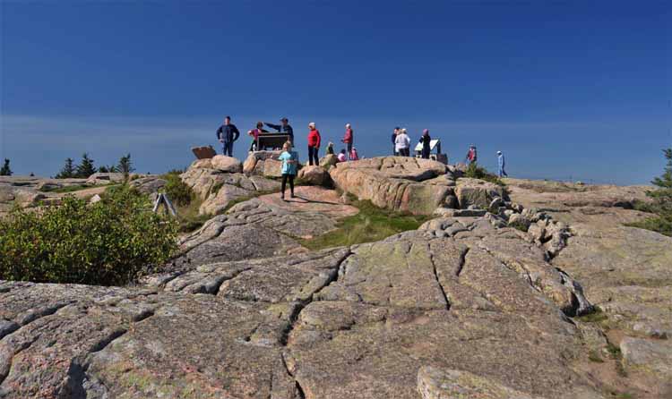
The next few shots were taken at the summit of Cadillac Mtn. Cadillac's elevation is 1529 feet.
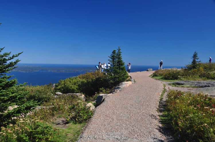
Along the Park Loop Road
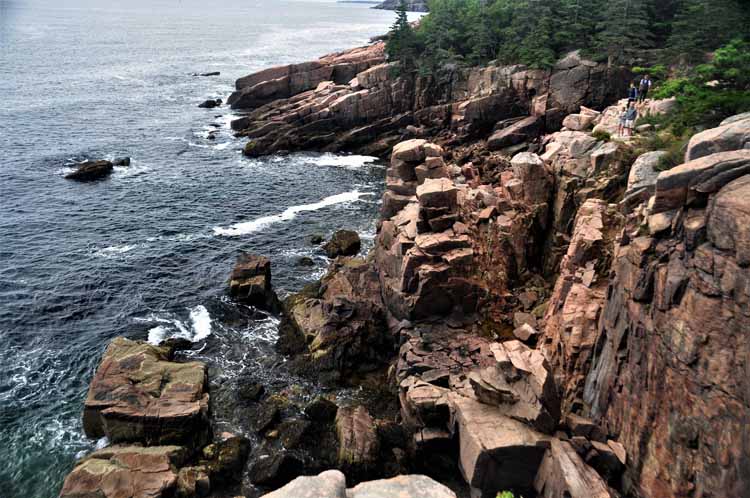
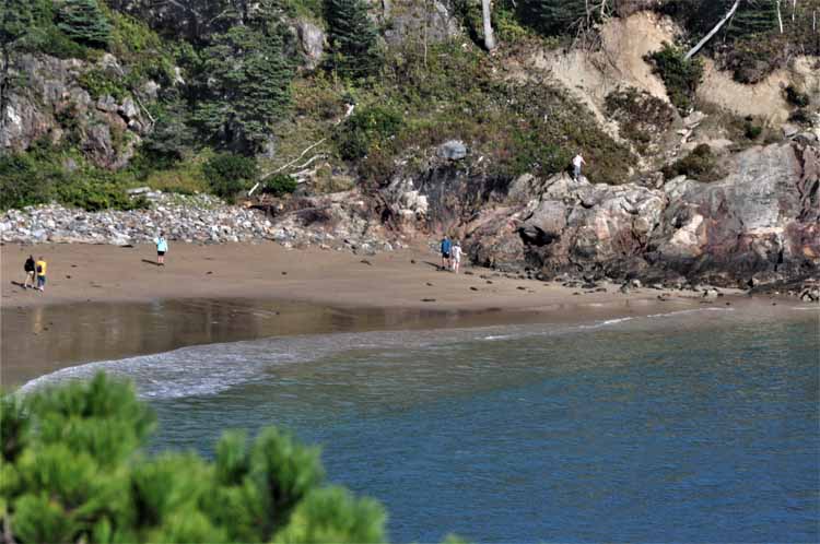
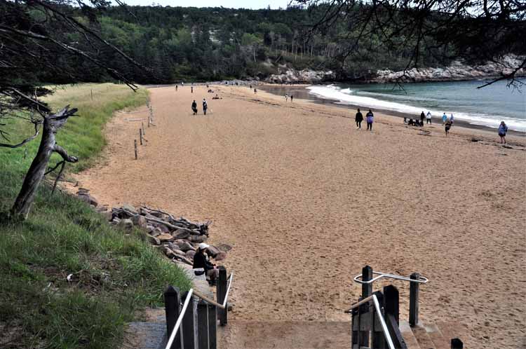
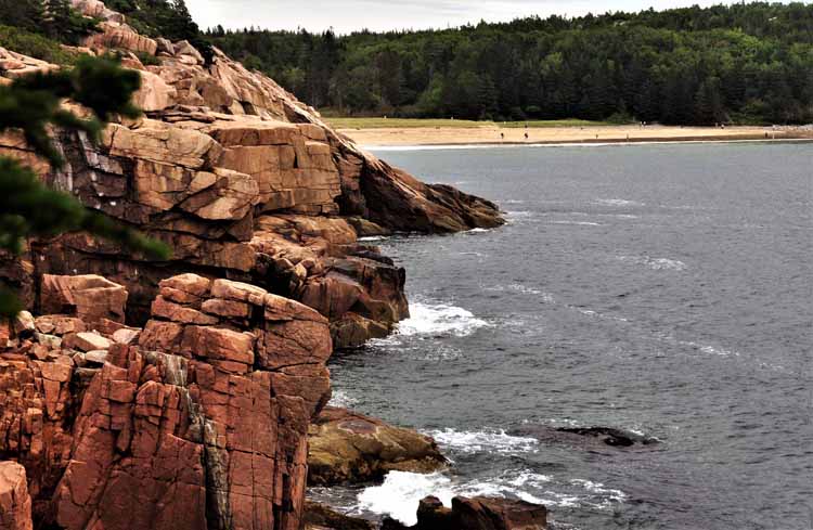
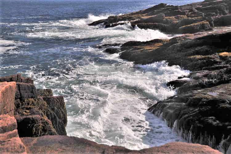
The Ocean Path is an approximate two-mile trail that parallels the shoreline and Park Loop Road. It's an easy stroll that starts at Sand Beach and continues past Thunder Hole, ending at Otter Cliff. It not only offers views of the dramatic rugged coastline, but, in spots, allows access to the rocks.
Sand Beach
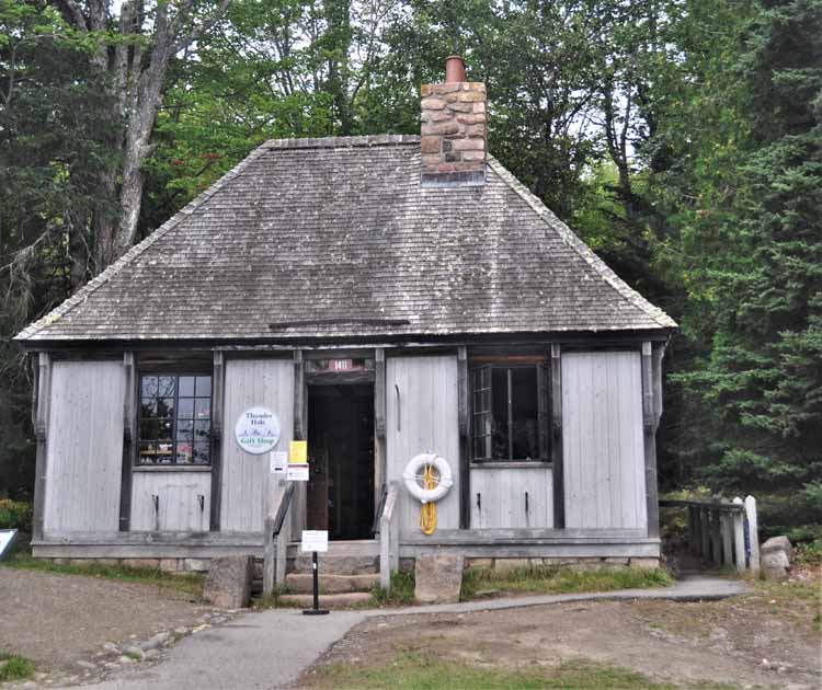
Thunder Hole gift shop
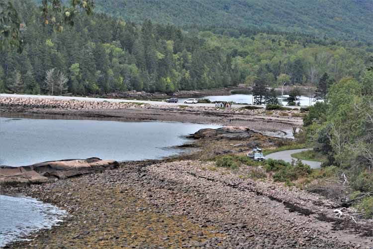
Otter Cove bridge
On Sand Beach
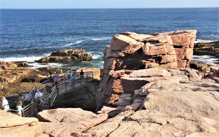
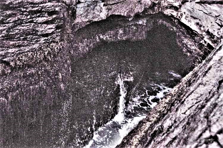
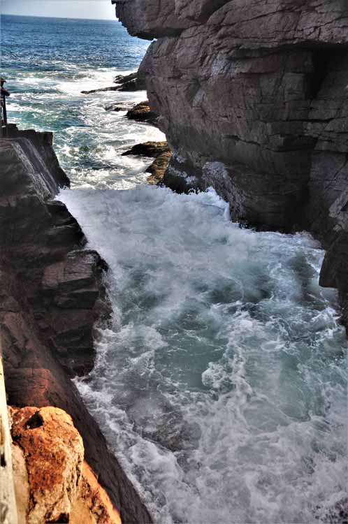
Thunder Hole is an interesting phenomenon. A naturally-formed cave under the rocks fills with water when a large wave enters. A collision of water and air occurs, causing a thunderous clap. The larger the wave, the louder the thunder. A short walkway allows visitors to view the waves as they enter and return from the cave.
It's a very small hole into which the water enters the cave.
The canal through which the water travels to enter the cave is also very small and narrow. As the water rushes out, it has nowhere to go except up, sometimes as high as 40 feet, so say the records.
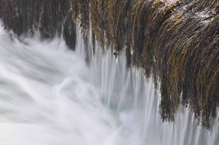
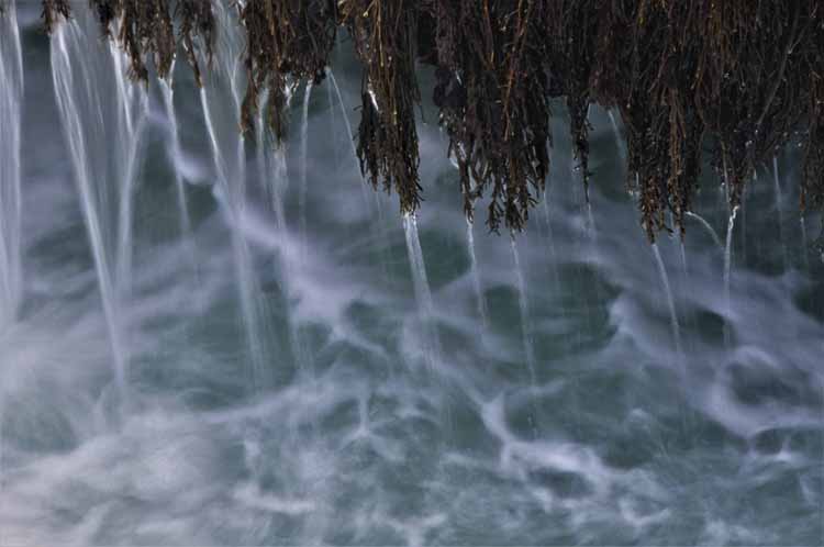
I purposely slowed down the motion of the water draining off the seaweed as a wave subsides.
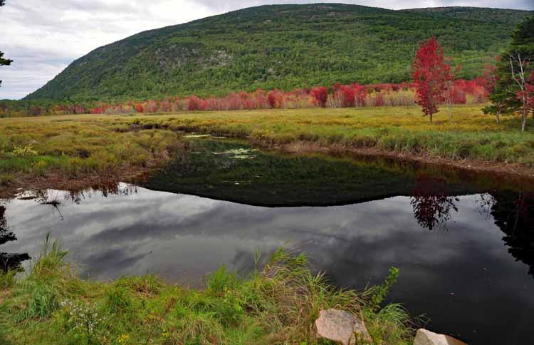
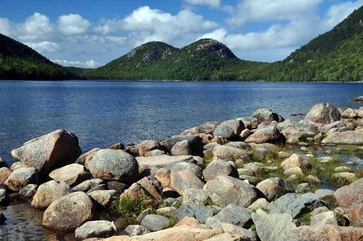
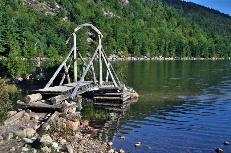
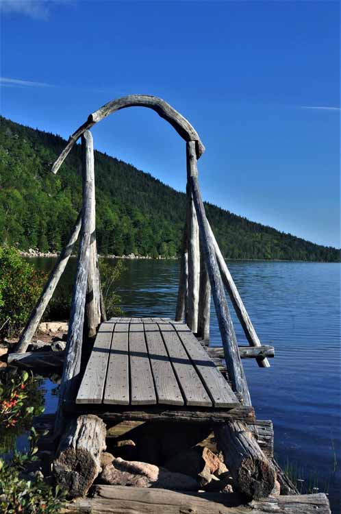
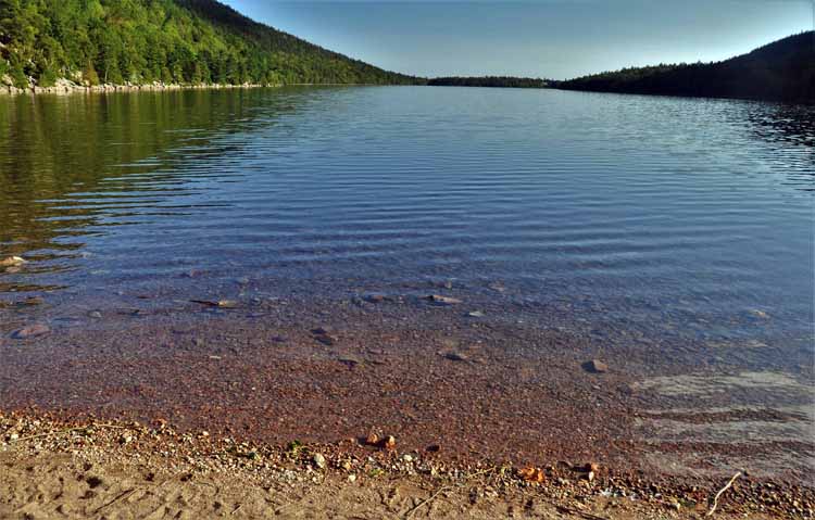
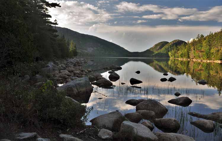
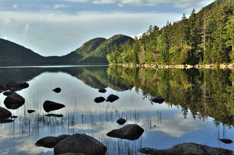
Jordan Pond is a popular 3.5-mile loop hike in Acadia. It's rated an easy hike as it hugs the shore of the pond. At the far (North) end of the pond are The Bubbles, two moutain peaks that dominate the view. Each has its own hiking trail to its summit.
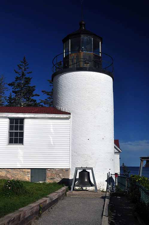
Bass Harbor Head Light Station is one of three local lighthouses that is maintained by Acadia National Park. It was built in 1858 and is located on the southwest tip of Mt Desert Island.
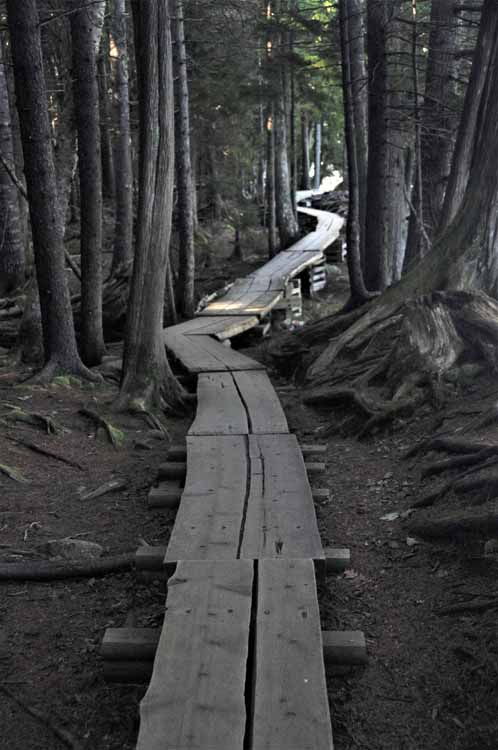
The west side of the pond uses planks to keep hikers above ground in areas of restoration.
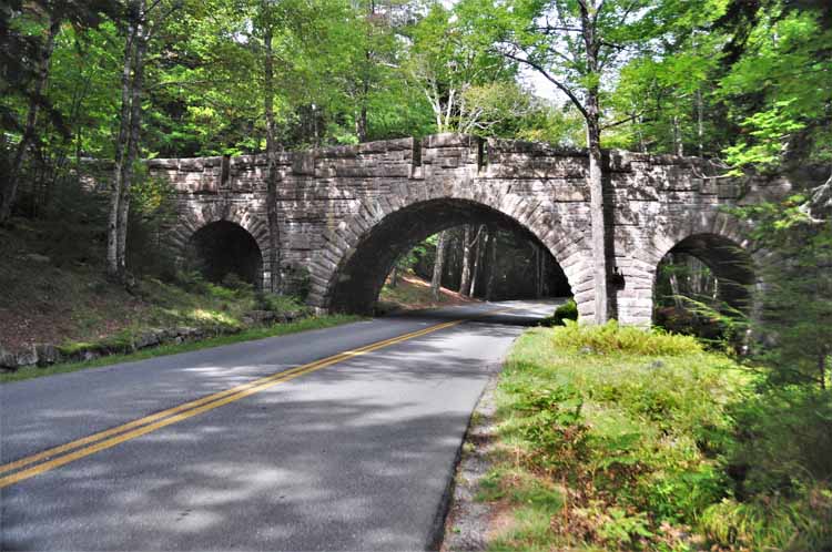
A picturesque rustic bridge is part of the Jordan Pond loop.
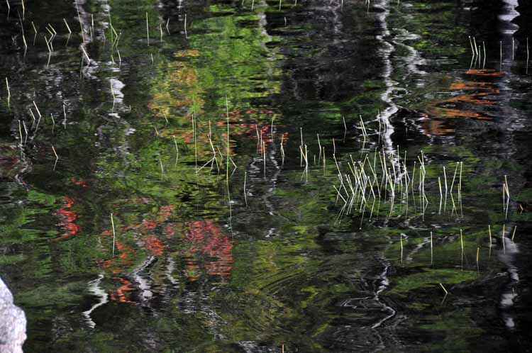
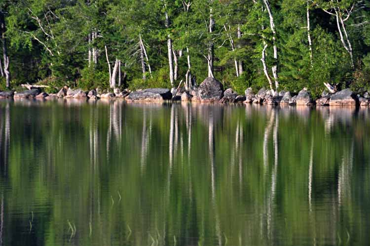
On a sunny day, a nice reflection of the trees can be had.
I was a little early for autumn's peak season, but this single red leaf was assurance that it was on the way.
A bit of trivia on Acadia National Park's carriage roads:
In the late 1800s Mount Desert Island was a summer getaway for families such as the Vanderbilts, Carnegies and Rockefellers. Having homes on the island, they wanted to keep it free of motor vehicles. Well, that didn't happen, so John D. Rockefeller took it upon himself to build a network of carriage roads on the eastern half of the island. The carriage roads were for the purpose of enjoying the scenic views without the use of cars.
By 1931, 50 miles of carriage roads had been built, financed by Rockefeller, along with 16 bridges, most of which are within the boundaries of Acadia NP.
The carriage roads are 16 feet wide and carefully maintained even today.
the first national park east of the Mississippi
Thank you for visiting these photo pages.
If you're interested in seeing more, please return to my Main Menu at the bottom of my home page and make your selection.
All images within thewanderingchick.com Web site are copyright protected. They may not be downloaded or otherwise copied.
Please contact me if you think a particular photo or set of photos can be used in your publication.