the wandering chick
Much of rural Louisiana in the southern half of the state is swamp land and accessible only by boat. But there are a few roads that offer nice drives through smaller coastal towns and areas teeming wih natural wildlife.
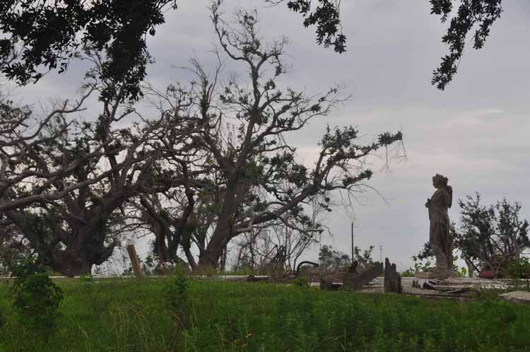
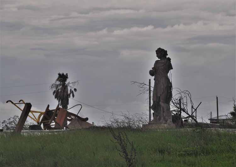
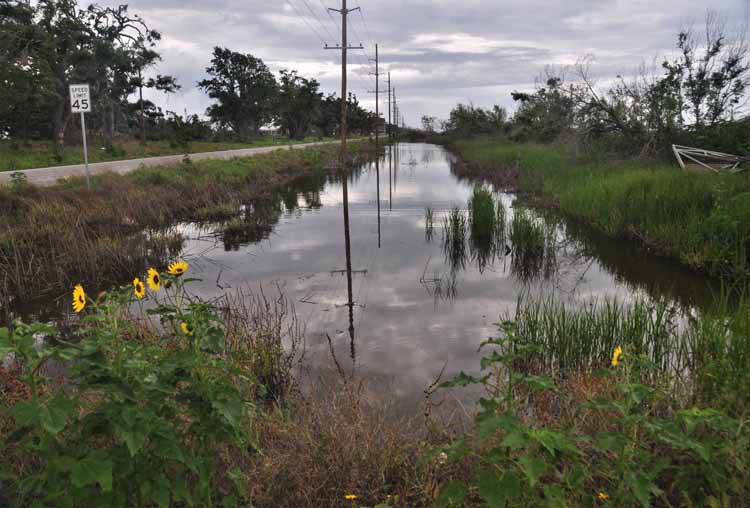
One such is Highways 82 starting near the Texas coast and traveling east parallelling the Gulf of Mexico. Evidence is obvious by wind-ravaged trees and vacant foundations that the area has, more than once, been tormented by fierce raging hurricanes.
Highway 1 starts north of Baton Rouge and travels southward, ending in Grand Isle.
And Highway 23, called the Great River Road, can be picked up in New Orleans and taken all the way south to the southern most road in the state: Tidewater Road. The highway is a four-lane divided and offers little in the way of scenery. But once you hit Tidewater Road, the fun begins as coastal birds, alligators and cypress trees come into view.
These three were my destination roads. The photos on this page are a fair representation of the areas.
...Louisiana
her coastal backroads
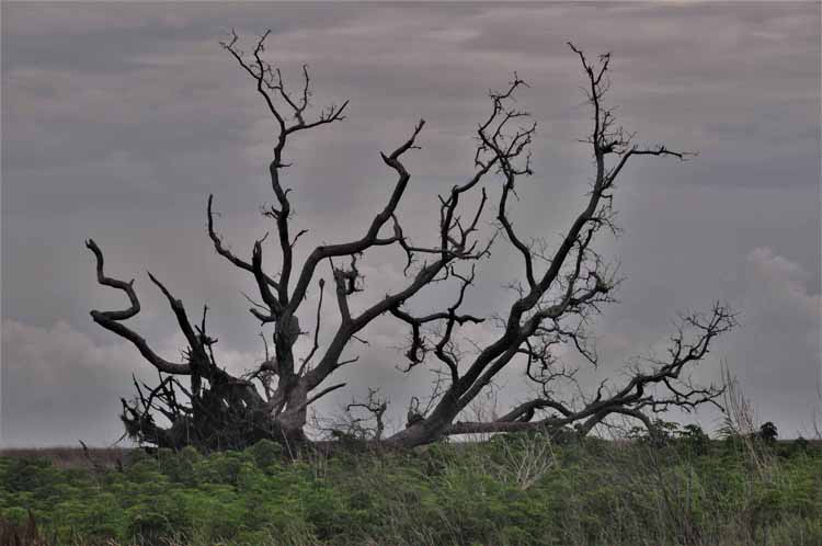
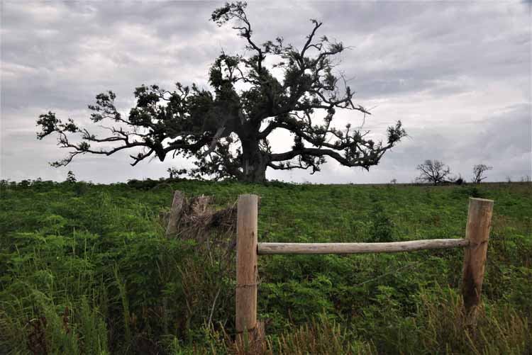
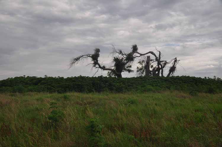
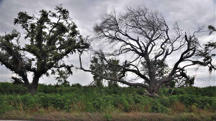
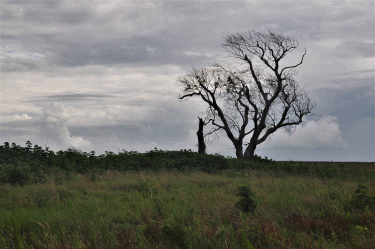
Many a time I've thought I'd love to travel the world shooting images of nothing more than trees. So, it may seem I went a little overboard on the number of tree shots posted on here. But I see such sadness yet beauty in the formations of these once thriving live oaks on this Highway 82 left by years of relentless winds and storms.
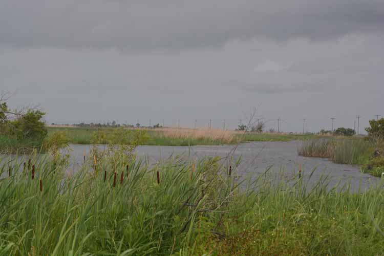
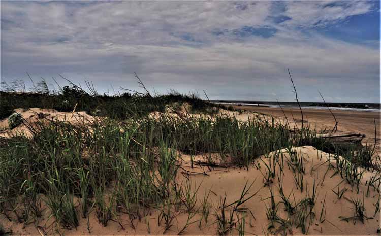
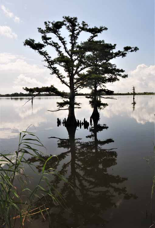
On Highway 82 near Pecan Island in Vermillion Parish
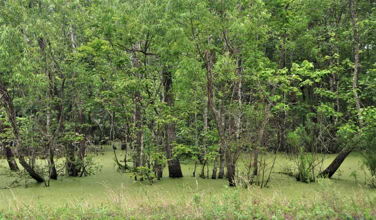
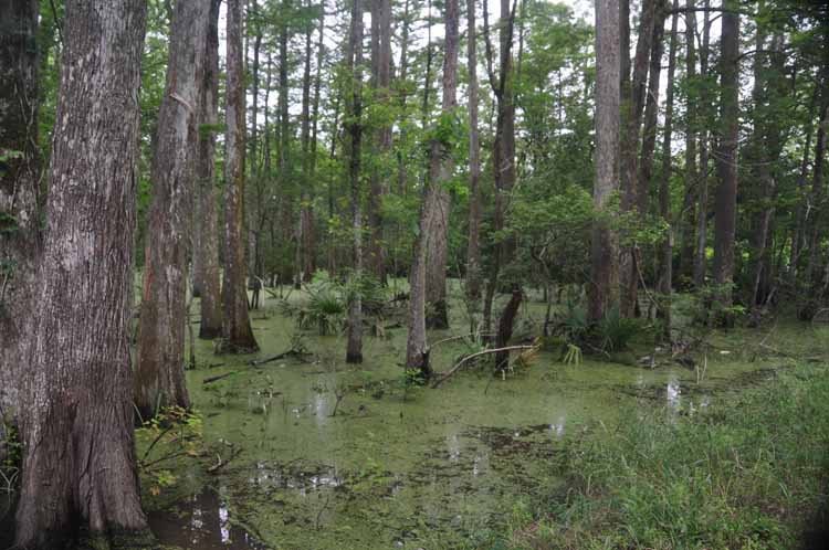
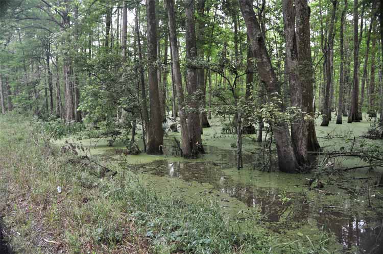
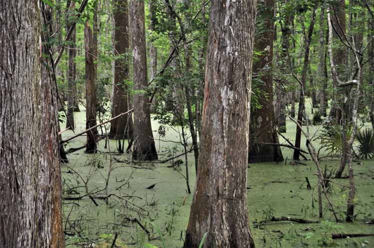
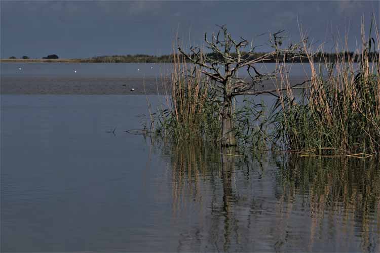
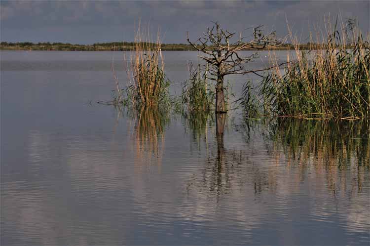
An interesting area of green swamp land on Highway 82 north of Pecan Island. The main difference between swamp and marsh is the presence of trees. Swamps are identified by the type of trees it carries. Marsh land has no trees, but rather low-lying grasses.
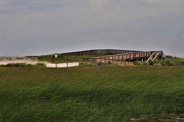
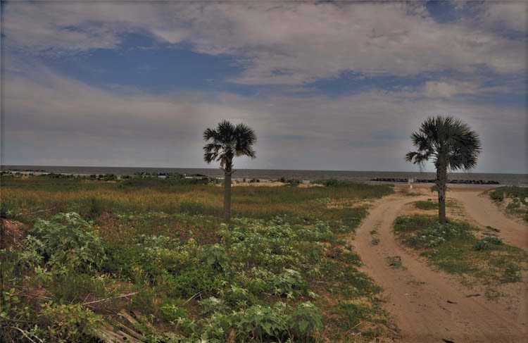
Highway One ends at the small beach town of Grand Isle, population less than 1000. It sits on a barrier island in the Gulf of Mexico.
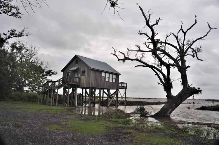
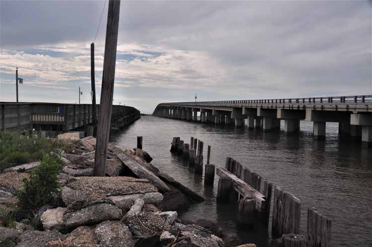
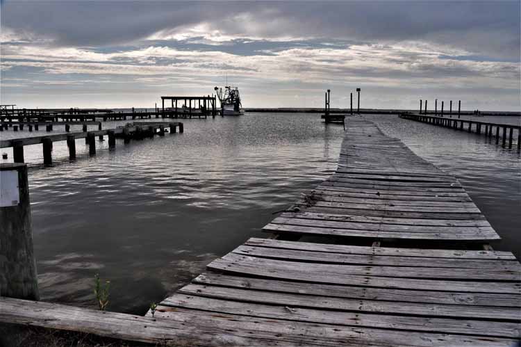
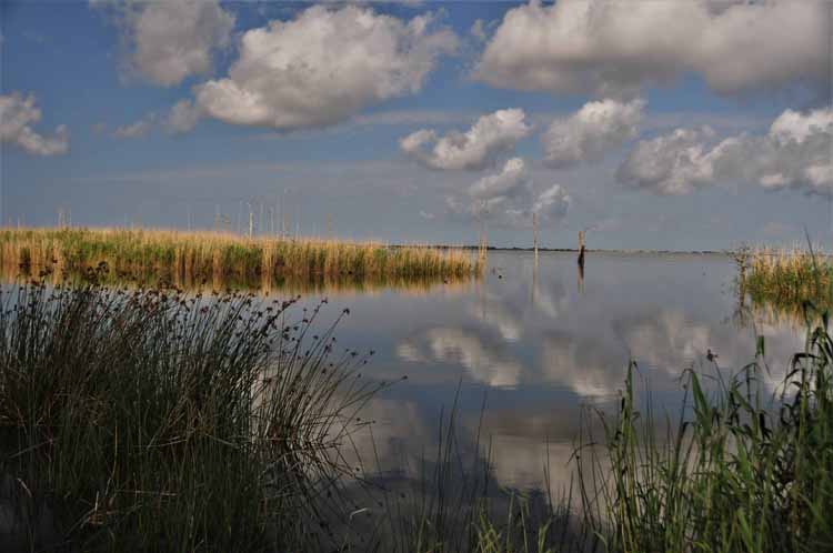
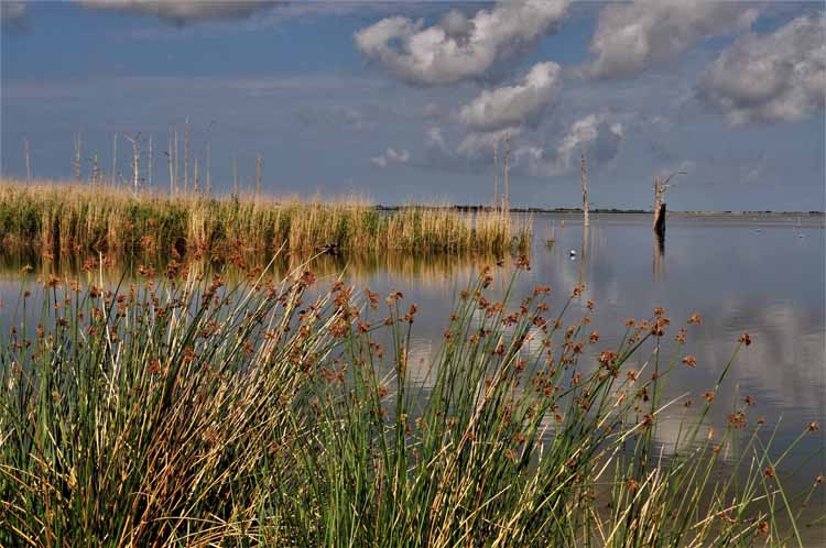
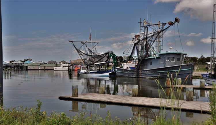
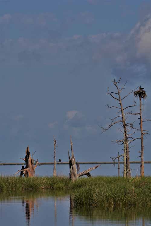
Tidewater Road is fascinating with coastal birds of all sorts, alligators and the maze of waterways that eventually open to the Gulf of Mexico. It is the southern-most point of the state, and any further con only be done by boat. The drive down Highway 23 to the coastal road is nothing to brag about, but the result is worth the time it takes to get there, a little more than an hour from New Orleans.
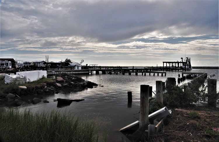
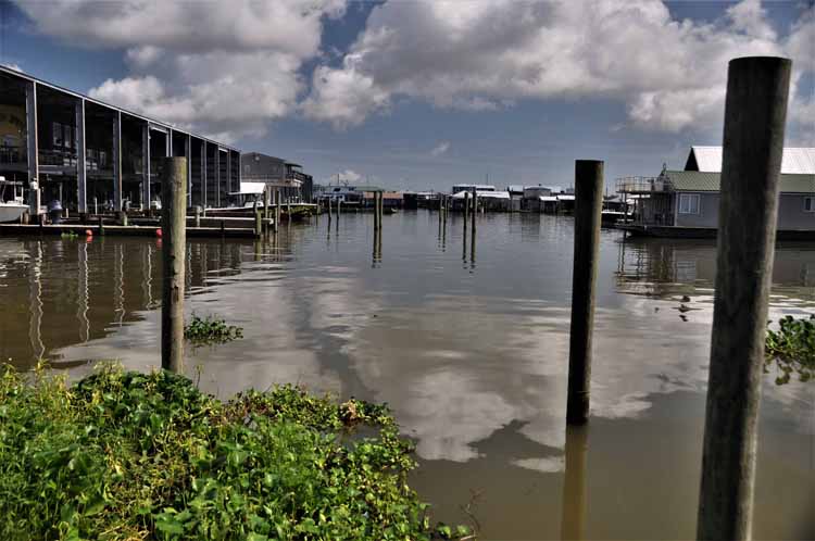
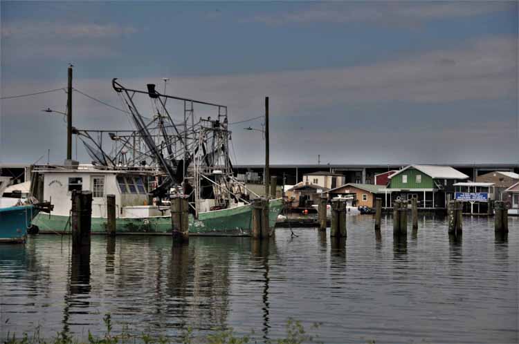
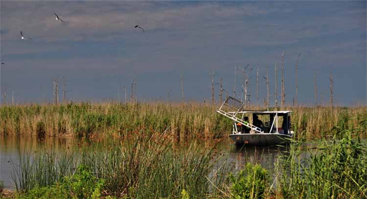
Venice Marina, off Tidewater Rd
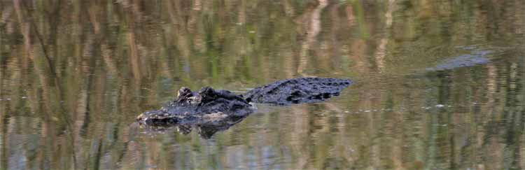
Alligatoars DO exist in the waters throughout Louisiana.
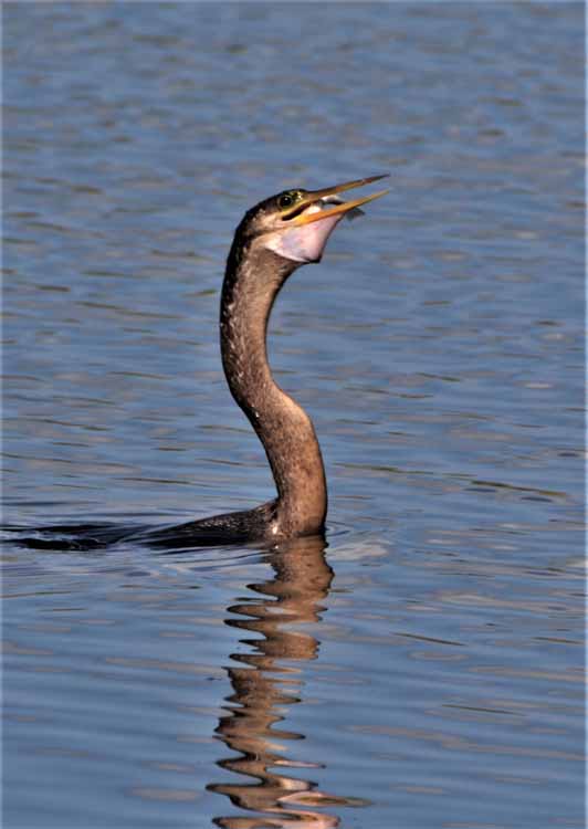
A comorant catches a fishy snack.
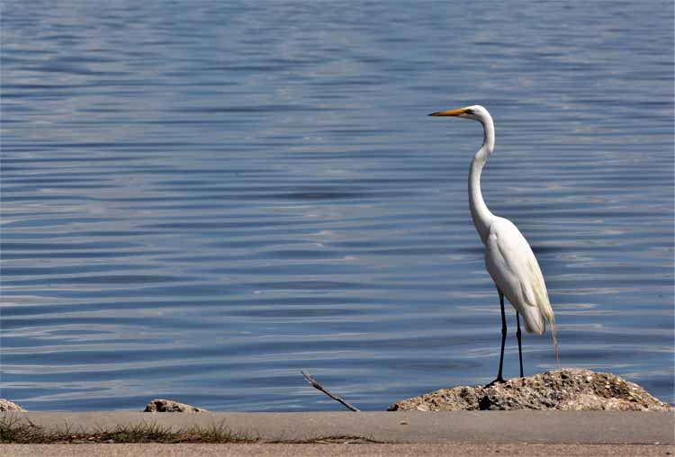
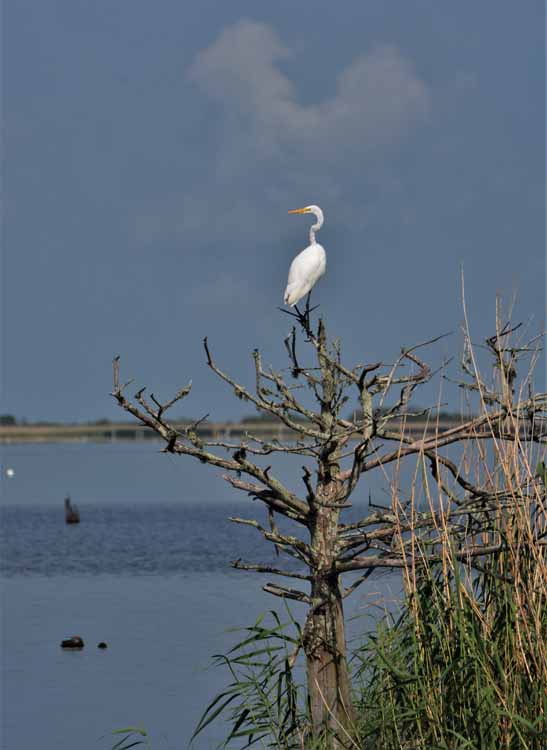
A great egret
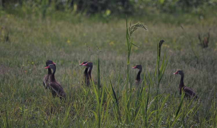
A small flock of whistling ducks makes its way from the marsh to a nearby pond.
Thank you for visiting these photo pages.
If you're interested in seeing more, please return to my Main Menu at the bottom of my home page and make your selection.
All images within thewanderingchick.com Web site are copyright protected. They may not be downloaded or otherwise copied.
Please contact me if you think a particular photo or set of photos can be used in your publication.