the wandering chick
...British Columbia, Canada
the journey home
The trip 'home,' back to northern Idaho, wasn't dramatic since we were leaving the Rockies behind. But it was a peaceful change meandering through B.C.'s Columbia Valley which separates the Rockies from the Purcell Mountains, a gradual entry back ino the real world.
We took the Icefields Parkway again, as that's the main route between Jasper and Banff, and thankfully it was a cloudy day. We hadn't planned on spending another day stopping at all the breath-takers, so it was good I wasn't tempted.
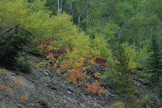
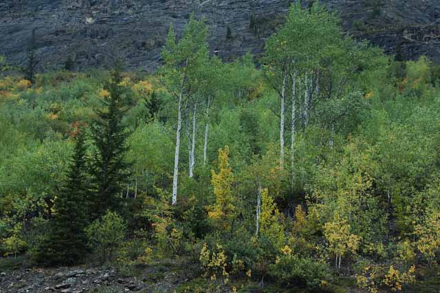
From there we took the 93/95 along the Columbia River and then to Cranbrook. Autumn was just setting in, a subtle good-bye to a wonderful trip.
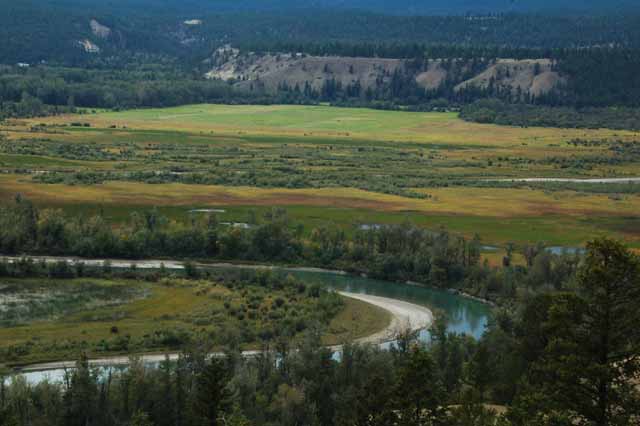
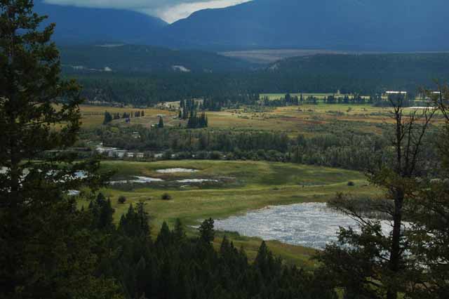
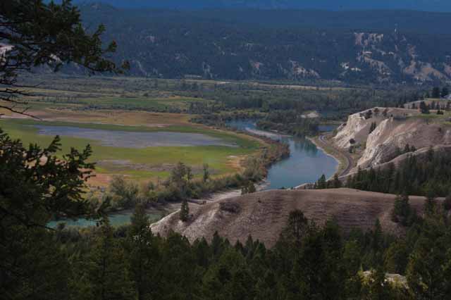
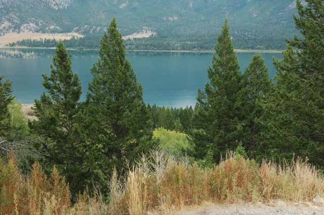
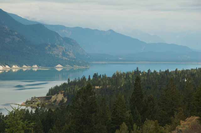
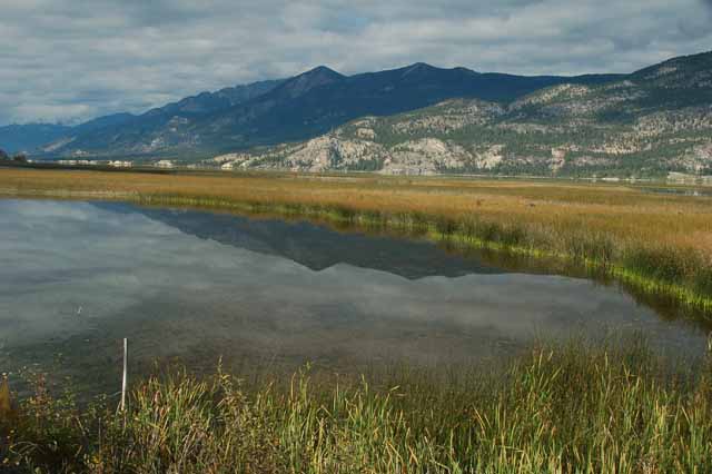
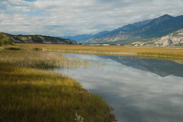
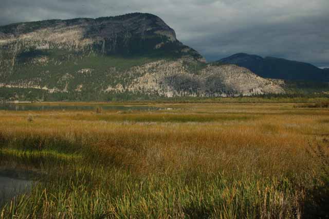
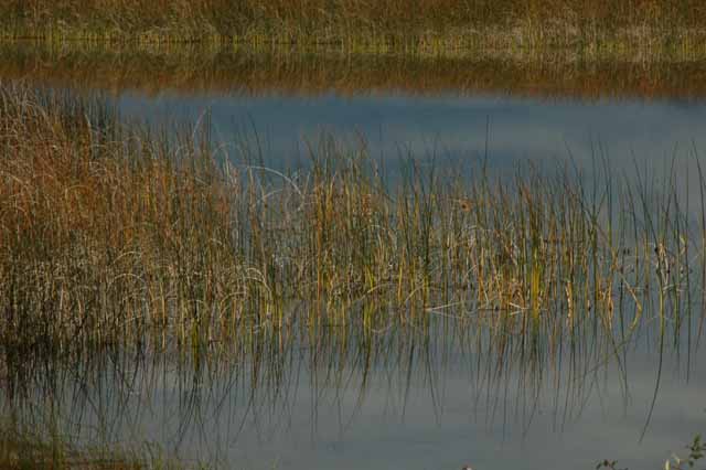
The Columbia wetlands and the Columbia River
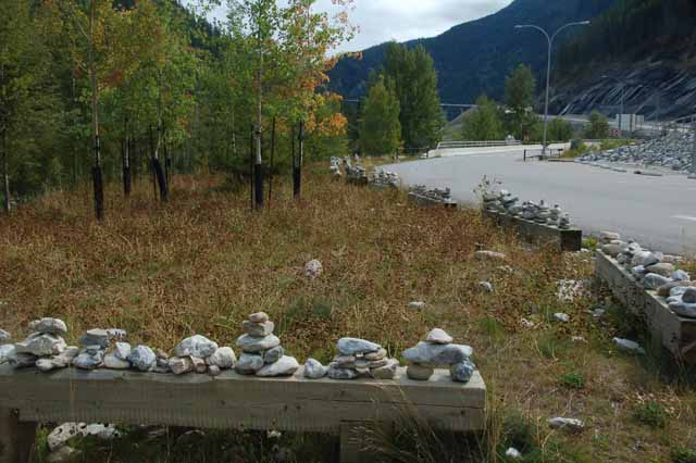
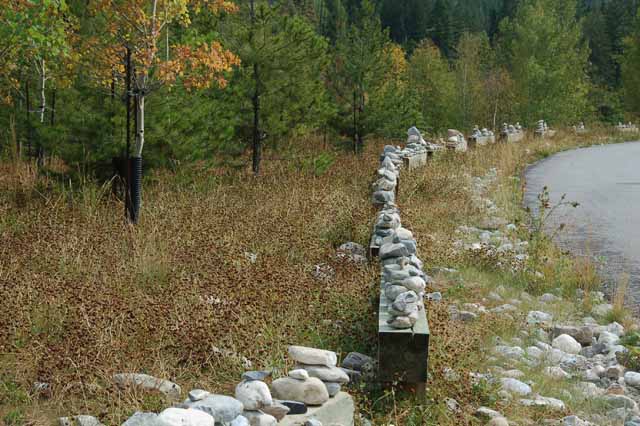
The Canadians love their rock piles, cairns. Originally, cairns were built to mark a path, to show directions along a route, but in this case and many other cases I've seen throughout Canada, the cairns are built for fun, a reminder of a whimsical sense of humor by the people who build them. These were found at the Kicking Horse Rest Area off Highway 93/95.
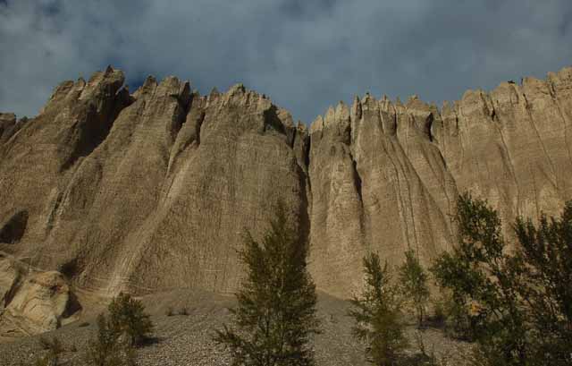
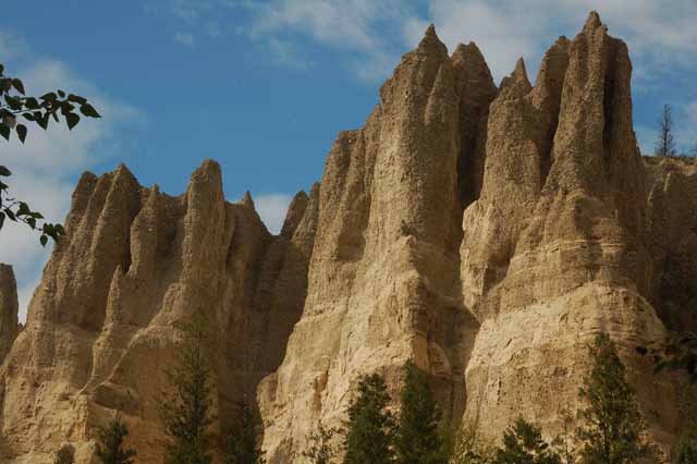
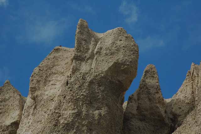
Along the Highway 93/95 near Fairmont, we stopped and took a five-minute walk under the towering Dutch Creek Hoo-doos. I was told there was a trail up on the other side of them.
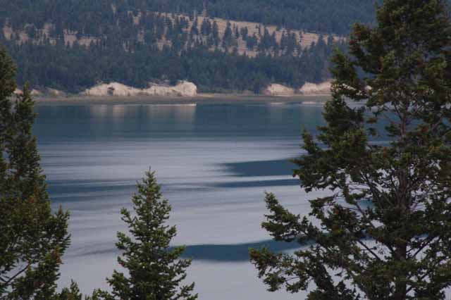
Here lies the Columbia Lake where the mighty Columbia River begins its 1200-mile journey as the largest river in the Pacific Northwest. This is where it begins, and from here, it heads a little further north through British Columbia, then turns southward, entering the United States in Washington before emptying into the Pacific Ocean in Astoria, Oregon. What a trip, man!
At the southern tip of Columbia Lake are the Canal Flats, a berm of land a little more than a mile wide that separates the Kootenay River from the Columbia Lake.
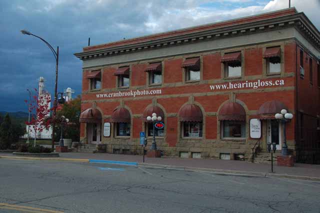
We stayed one night in Cranbrook before entering the U.S. the next morning. We weren't too impressed with the town until we had breakfast at the Redneck Café on the main street of town. We both agreed that it made up for the Indian dinner we had the night before.
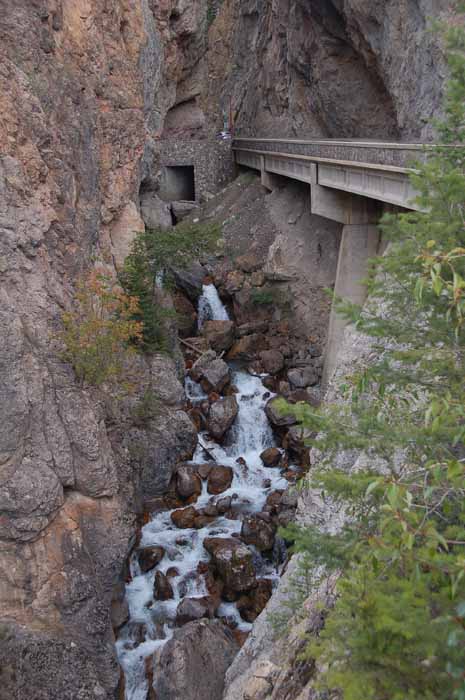
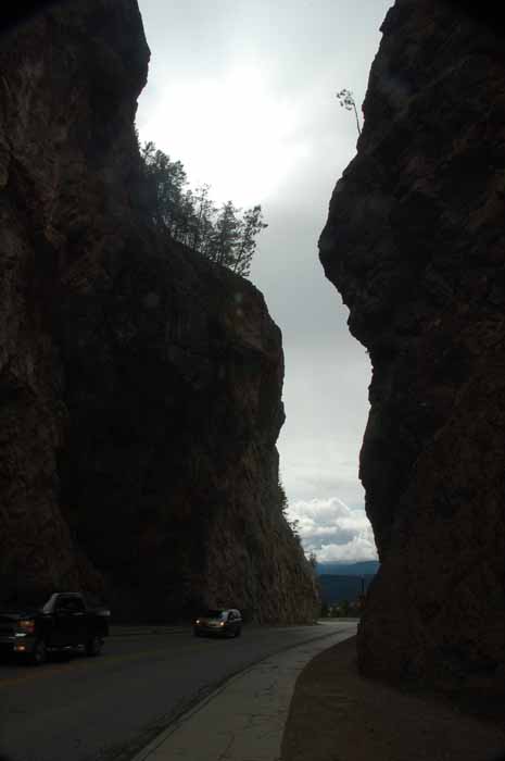
Heading north into Banff National Park Highway 93 takes you through the Kootenay Natl Park and over this gorge. It was an impressive introduction to what lay ahead as we began our ten-day stay in the Canadian Rockies.
Thank you for visiting these photo pages.
If you're interested in seeing more, please return to the Main Menu at the bottom of my home page and make your selection.
All images within 'The Wandering Chick' Web site are copyright protected. They may not be downloaded or otherwise copied.
Please contact me if you think a particular photo or set of photos can be used in your publication.