the wandering chick
...Sedona
a few return trips
Since I'm wintering so close to Sedona, a trip back up is essential, especially since I enjoy the great hikes that lend themselves so abundantly there.
So, here are pictures of a couple locations I hadn't been to on my first trip, taken on a day that couldn't have been more perfect.
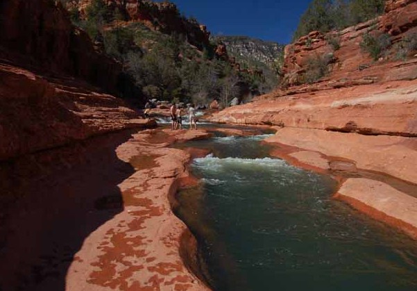
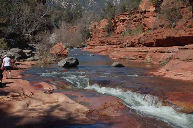
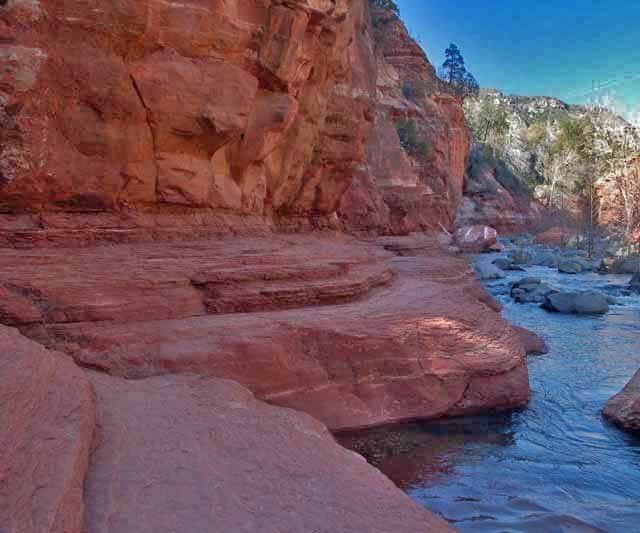
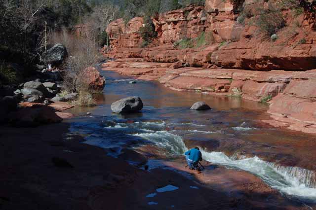
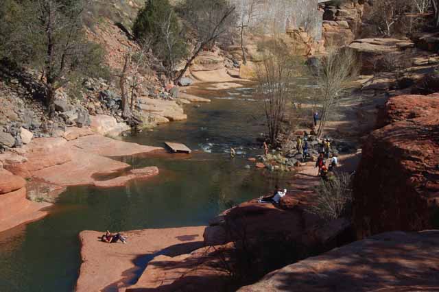
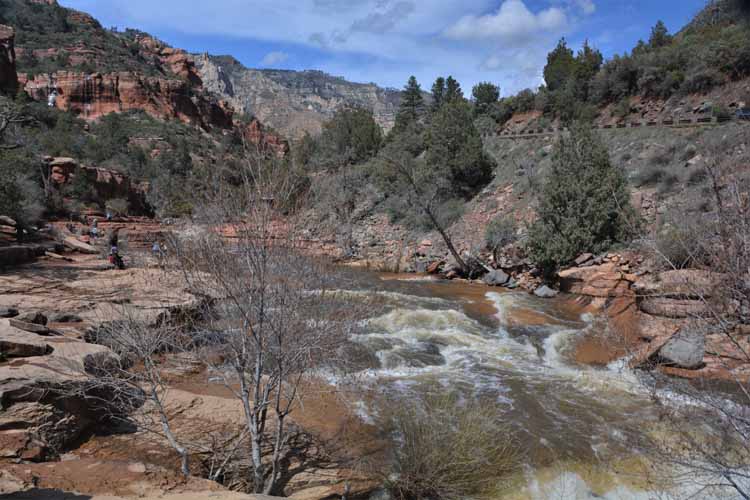
Slide Rock State Park was a true highlight this trip. Located 7 miles north of Sedona on Highway 89A, its main attraction is the natural water slide through the Oak Creek Canyon, from which it gets its name.
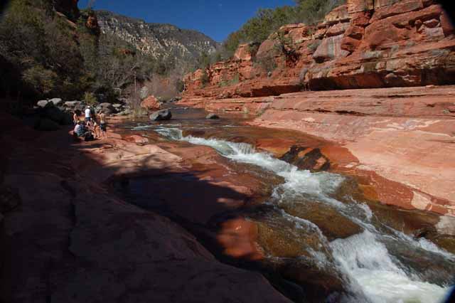
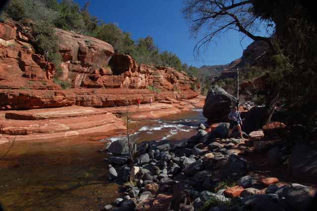
Even if you don't get in the water, the walk over the flat red boulders along the edge of the water is just as enjoyable and very picturesque.
The park was originally called the Pendley Homestead, after Frank Pendley who acquired the land in 1907. By 1912 he had built a quite sophisticated irrigation system necessary for his apple orchard, both of which are still visible today.
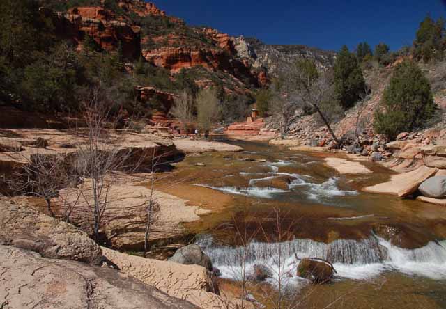
The next several pictures are of the Oak Creek and water chute.
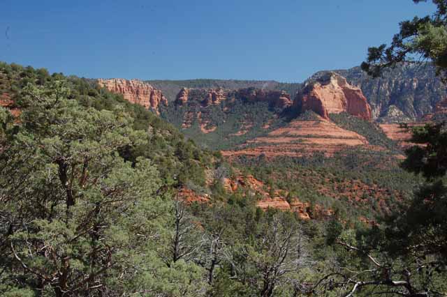
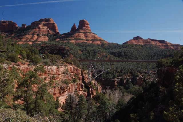
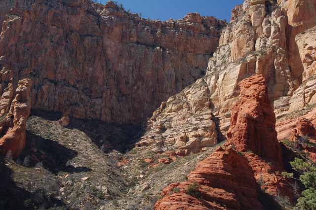
The Wilson Canyon Trail was an easy to moderate 3-mile roundtrip trail that started at Midgely Bridge. It followed the dry creek bed of Oak Creek Canyon, then the last less than 1/2-mile was a scramble up rocks to overlook the canyon, which offered the views above, right and below right.
The Wilson Canyon Trail is one of a few that starts here at the Midgely Bridge Trailhead.
The view from the parking lot of Midgely Bridge
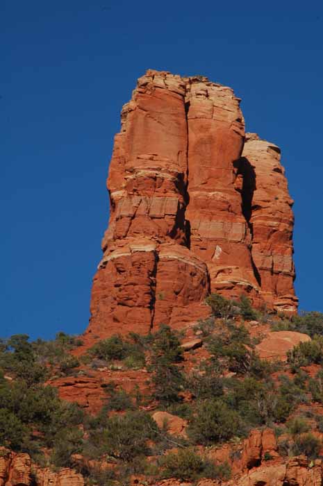
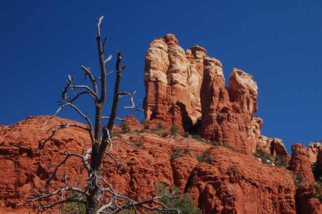
The Chimney Rock Trail was another easy hike in Sedona. As you see Chimney Rock from a distance, it appears as one solid rock, but as you get closer and at a different angle, you realize it's actually three vertical columns.
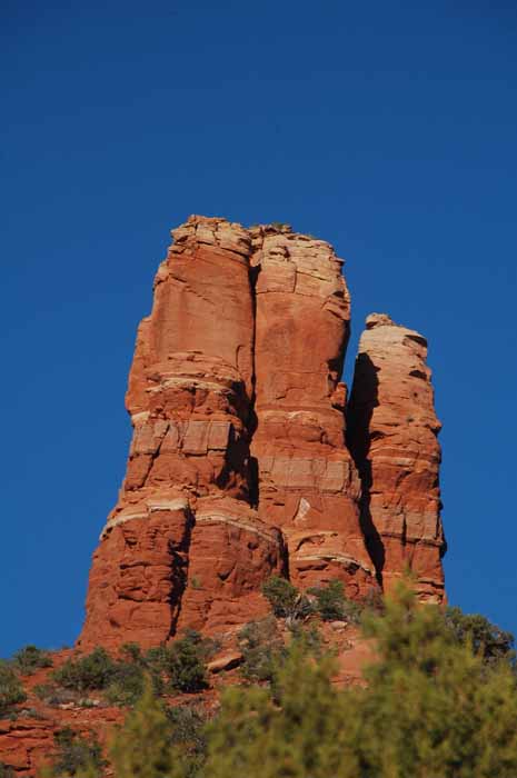
In this photo of Chimney Rock, we thought we saw Sherlock Holmes hiding in the shadows.
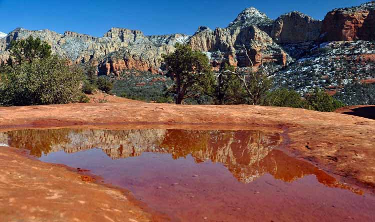
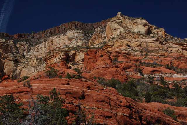
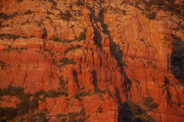
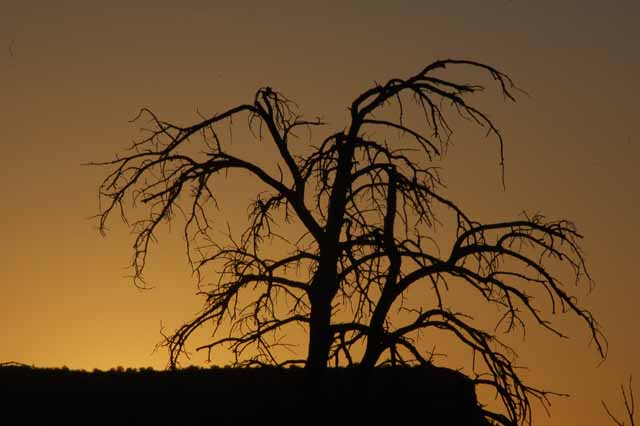
Sedona's red rock near sunset
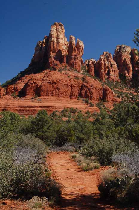
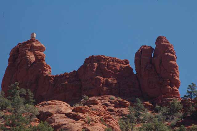
The Marg's Draw Trail takes you around the north side of the well-known rock formation in Sedona called Snoopy. A picture of Snoopy Dog is to the right. The trail also offers stunning overviews of Sedona, and a few of those photos are below.
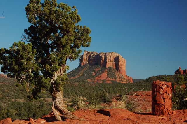
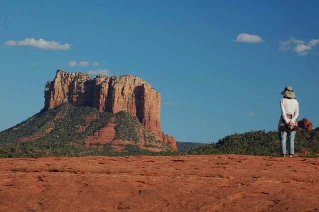
An unobstructed view of Courthouse Rock can be seen from the Cathedral Rock trailhead just off Back O' Beyond Road in the Village of Oak Creek.
To view the previous page of Sedona's pictures, click here.
To view more photos of Arizona locations, please return to the Arizona home page.
Thank you for visiting these photo pages.
If you're interested in seeing more, please return to the Main Menu at the bottom of my home page and make your selection.
All images within 'The Wandering Chick' Web site are copyright protected. They may not be downloaded or otherwise copied.
Please contact me if you think a particular photo or set of photos can be used in your publication.
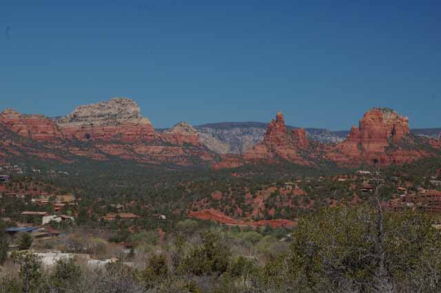
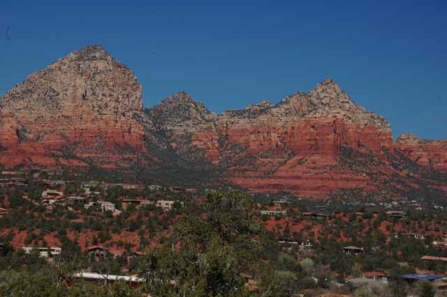
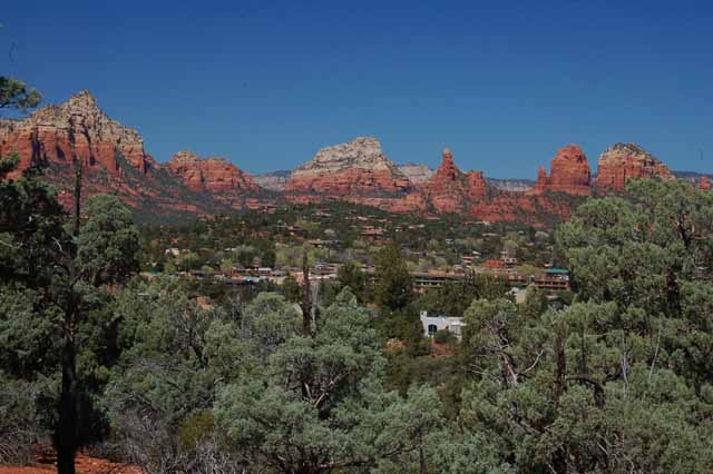
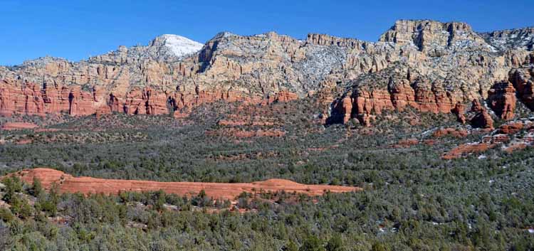
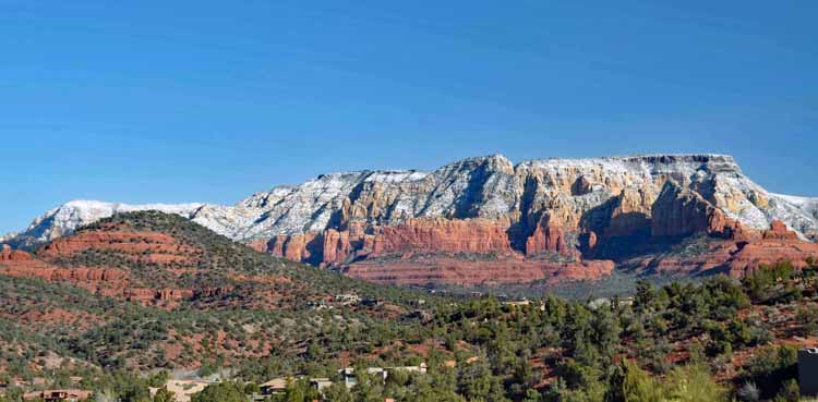
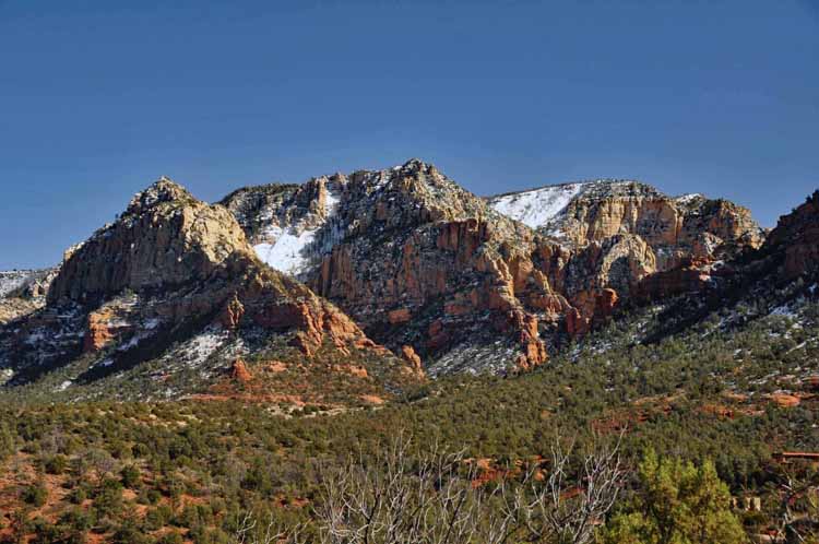
On yet another trip to this picturesque town, I learned of some gorgeous views from Airport Road. A small climb up to Overlook Point offers scenes in all four directions. This one is looking north toward Sedona's highest peak, Thunder Mountain.
Sedona's small regional airport is atop a huge mesa, and getting there is via this seemingly near-vertical climb.
Hiking, of course, is the favorite thing to do in Sedona, but it's hard to pass up the shops of the Tlaquepaque Village, especially with hints of spring popping up in big clay pots and other such places. The next several shots were taken at Tlaquepaque.
A drive past Slide Rock State Park along the 89A takes you to an overview called Oak Creek Vista. It's worth a stop to take a short walk to the overlook point to see the ribbon of highway below. This and the next three shots were taken from there.
A popular hike in Oak Creek Canyon is the West Fork Trail. And in autumn, it's supposedly breath-taking. I didn't get there early enough in the year, so I missed the peak, seeing just enough to make me want to get there earlier next year.
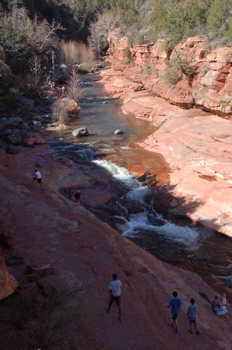
Yet another trip to Slide Rock State Park. It was a beautiful fall day, and the park was filled with people enjoying the comfortable temps as well as the surrounding beauty.
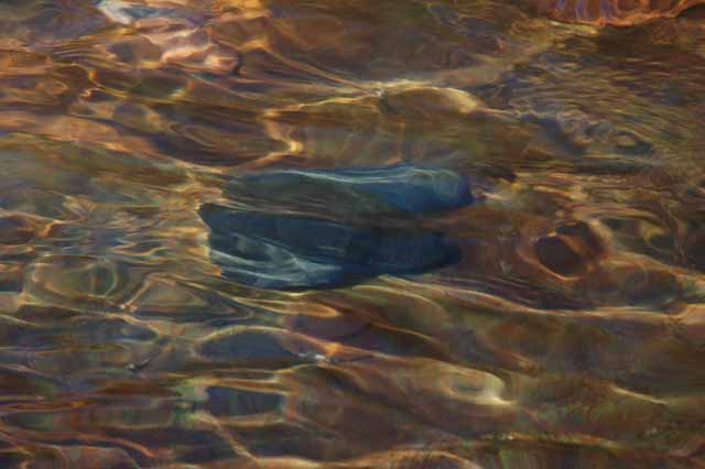
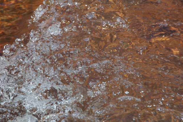
I'm practicing a photo technique of slowing down the camera shutter speed to capture the water flowing in slow-motion, giving it a silky look. So far, I have a lot to learn. Any tips out there?
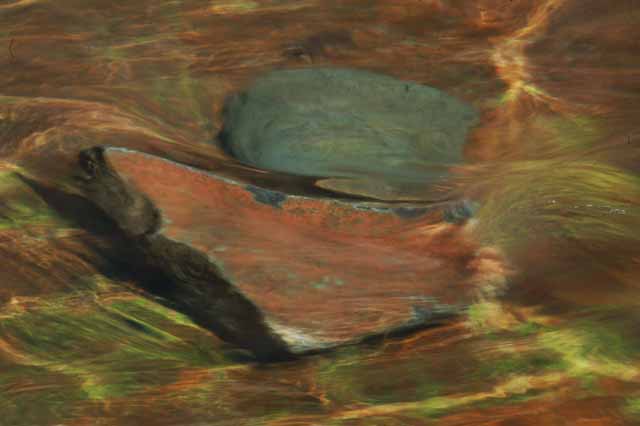
I think I see an imaginary fish "swimming upstream."
Barely visible center and just above the tree line is the Chapel of the Holy Cross. More pictures and background informatioin can be found in my first Sedona page
here.
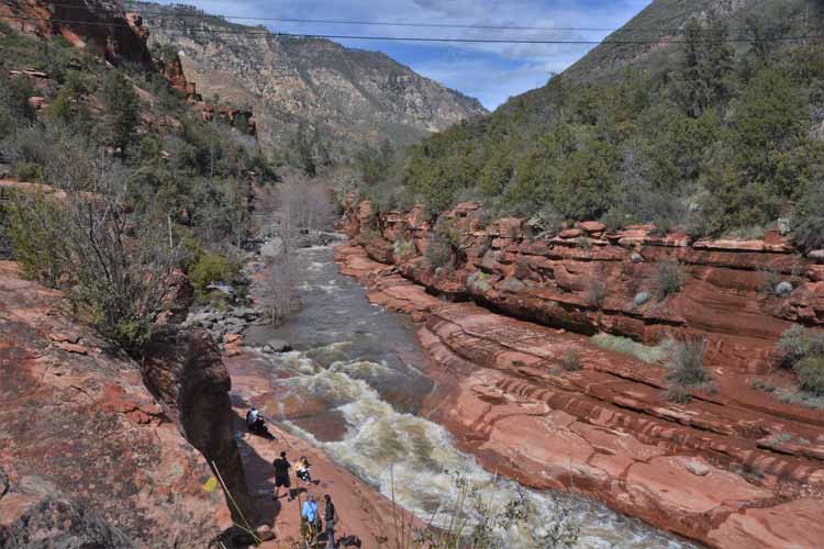
Recent heavy rains create an abundance of swift-flowing waters through the canyon at Slide Rock State Park.
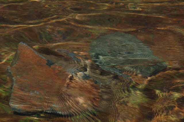
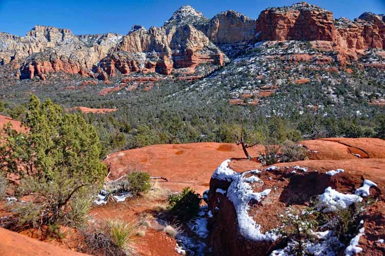
The low-lying flat rock in the foreground is called Submarine Rock.
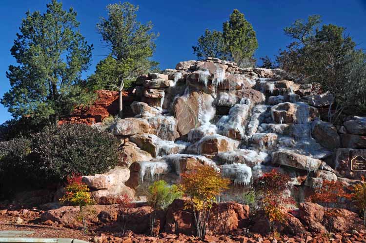
This rock fountain is at the entrance to a gated community in Oak Creek Village. The frozen water makes it even more appealing.
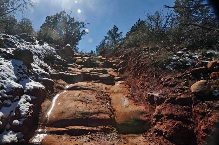
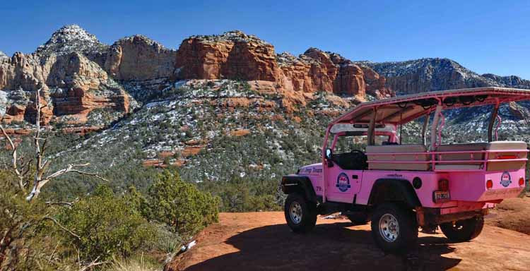
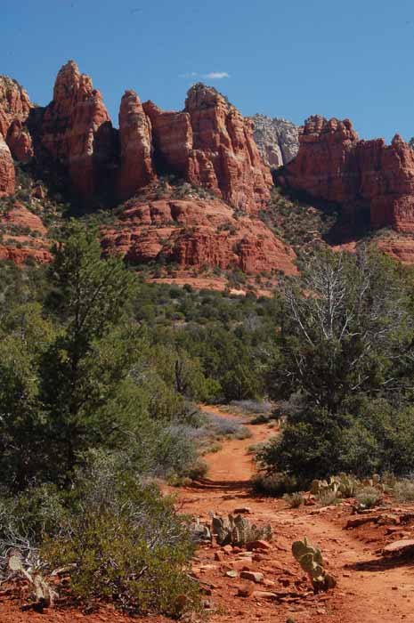
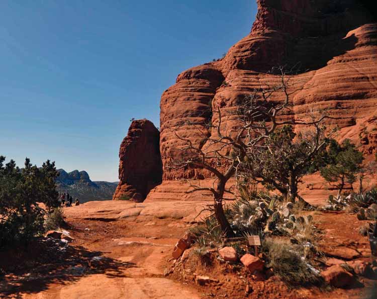
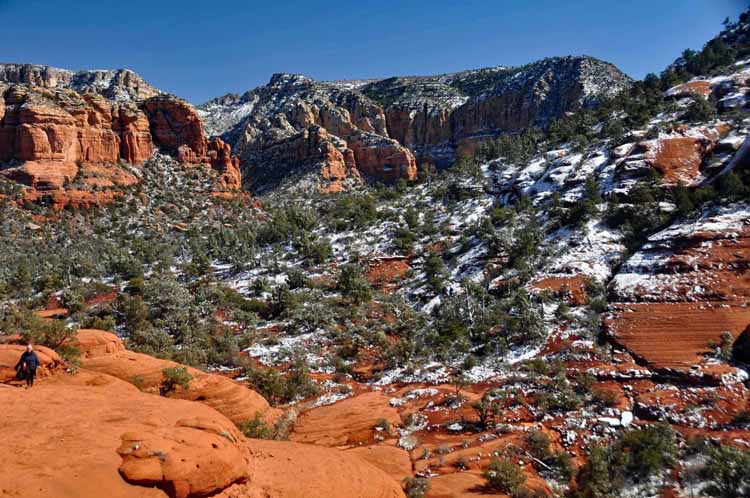
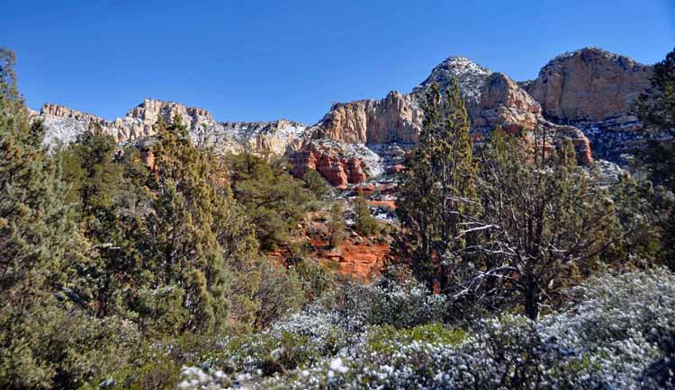
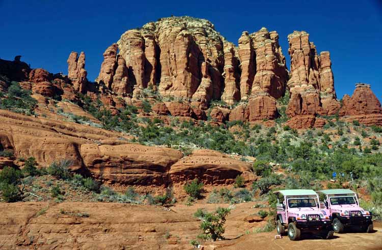
The following pictures were taken on and from the Broken Arrow Trail. This trail is maintained and used mostly by the Pink Jeep Tour company, though it is open to the public. Extreme caution is recommended and high-clearance vehicles are required.
.jpg)
.jpg)
.jpg)
.jpg)
.jpg)
.jpg)
.jpg)
.jpg)
.jpg)
.jpg)
.jpg)
.jpg)
.jpg)
.jpg)
.jpg)
.jpg)
.jpg)
.jpg)
.jpg)
.jpg)
.jpg)
.jpg)
.jpg)
.jpg)
.jpg)
.jpg)
.jpg)
.jpg)
.jpg)
.jpg)
.jpg)
.jpg)
.jpg)
.jpg)
.jpg)
.jpg)
.jpg)
.jpg)
.jpg)
.jpg)
.jpg)
.jpg)

-2023-02-16-az-sedona with t-g.jpg)
-2023-02-16-az-sedona with t-g.jpg)